Arizona Trail Backpacking Passage 39, Grand Canyon North Rim
AZT Day 7, Part II
Trans-Arizona/Utah Day 14, Part II
In the land of Arizona
Through desert heat or snow
Winds a trail for folks to follow
From Utah to Old Mexico
It’s the Arizona Trail
A pathway through the great Southwest
A diverse track through wood and stone
Your spirit it will test
Oh, sure you’ll sweat and blister
You’ll feel the miles every day
You’ll shiver at the loneliness
Your feet and seat will pay
But you’ll see moonlight on the borderlands
You’ll see stars on the Mogollon
You’ll feel the warmth of winter sun
And be thrilled straight through to bone
The aches and pains will fade away
You’ll feel renewed and whole
You’ll never be the same again
With Arizona in your soul
Along the Arizona Trail
A reverence and peace you’ll know
Through deserts, canyons, and mountains
From Utah to Old Mexico
-“The Arizona Trail,” Dale R. Shewalter
Day 7 on the AZT, and day 14 since departing Lee’s Ferry and crossing through Utah to get to this point. To read about my prior day and learn how I got here, check out this entry:
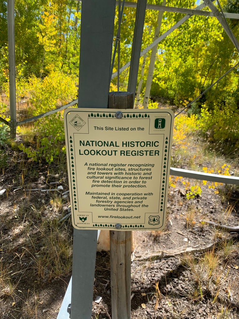
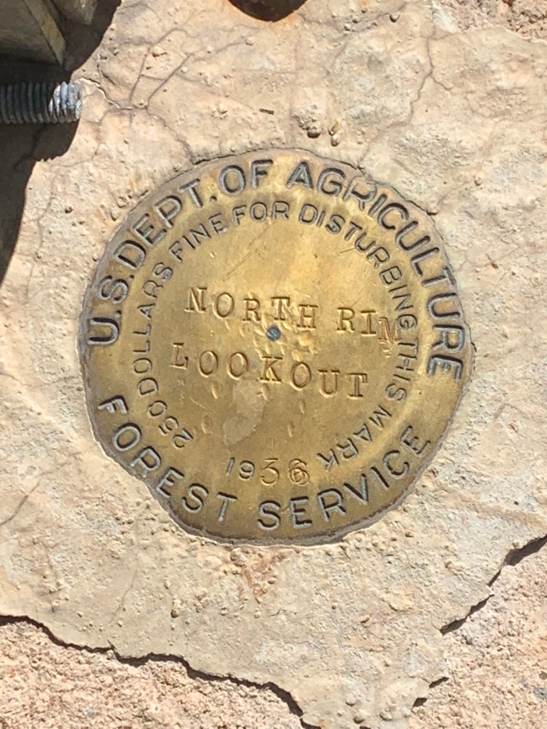
Arizona Trail Spur to North Rim Lookout
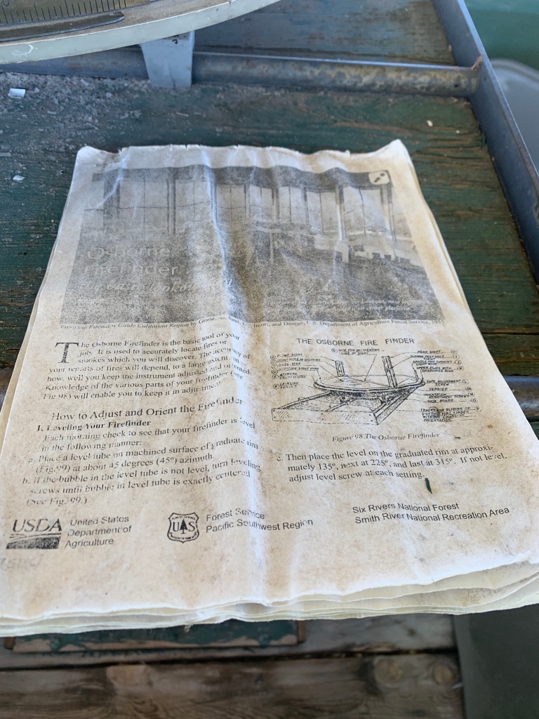
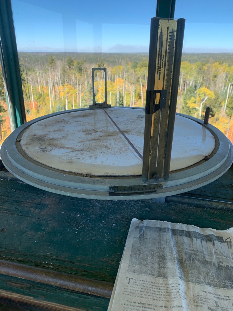
The North Rim lookout is located near the highest point on the entire Arizona Trail. A historical geographic marker still bearing the Forest Service name (the tower was moved to its current location inside the park in the 1930s) is beside the tower, along with a historic lookout register sign. This particular tower is also notable for a particularly famous lookout – Edward Abbey once staffed it for four years from the late 60s into the 70s. The historic guide to using the “FireFinder” system is still present in the room at the top of the lookout.
Arizona Trail, Passage 39 (Grand Canyon North Rim)
Grand Canyon National Park
North Rim lookout tower
Arizona Trail, Passage 39 (Grand Canyon North Rim)
Grand Canyon National Park
North Rim Lookout Tower
Arizona Trail, Passage 39 (Grand Canyon North Rim)
Grand Canyon National Park
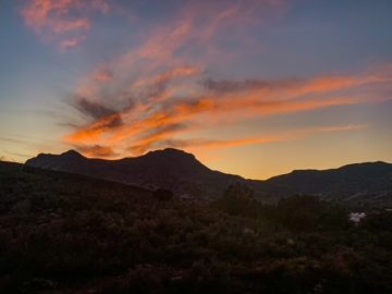
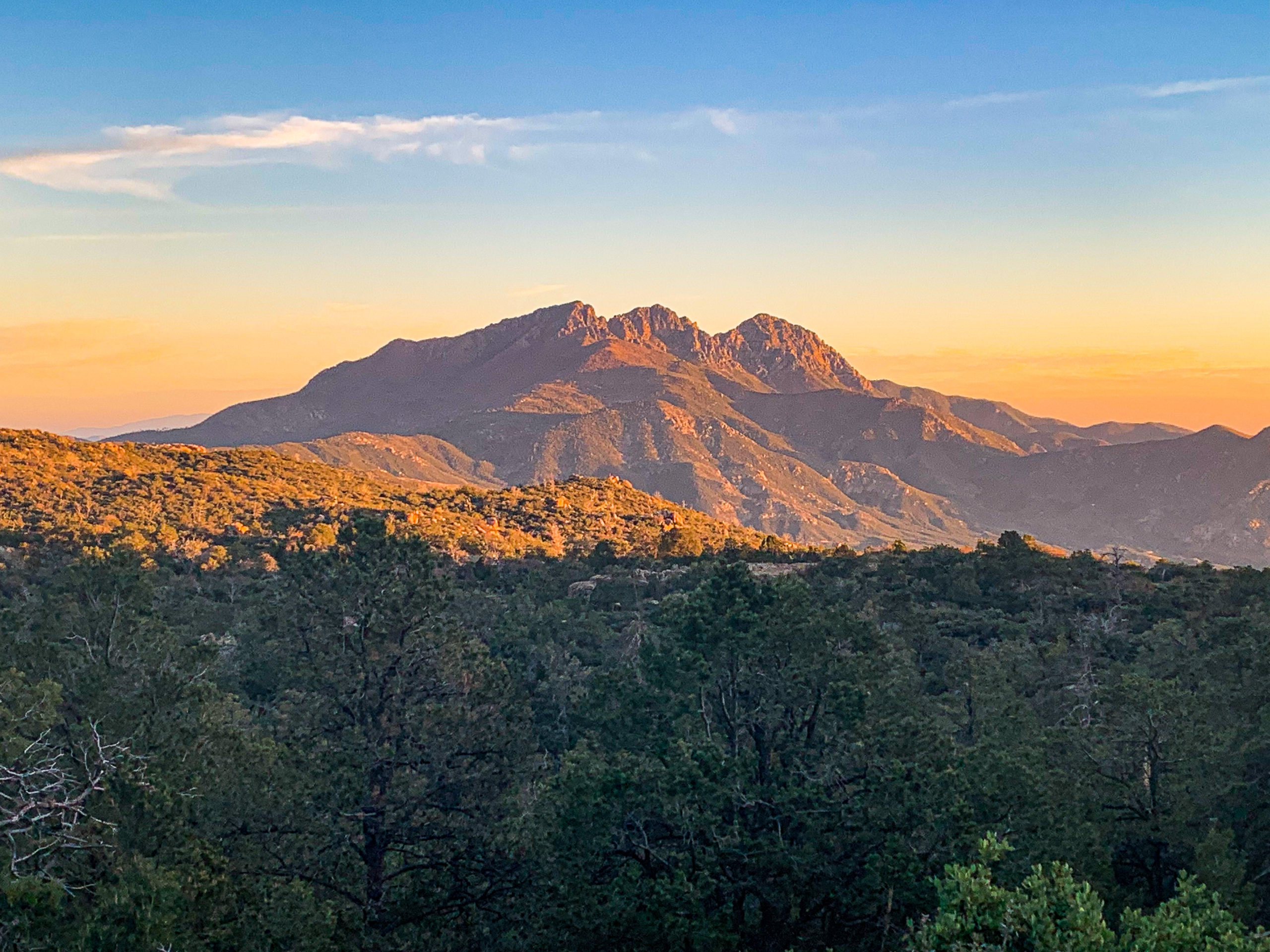
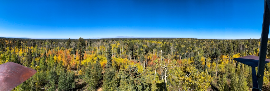
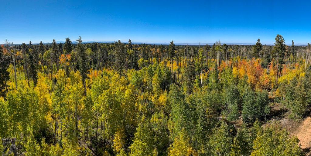
Climbing to the top of the lookout, one can see the Ikes Fire actively burning to the west. Through the haze, the shadow of Mt Trumbull and other peaks in Grand Canyon-Parashant National Monument can be seen.
Arizona Trail, Passage 39 (Grand Canyon North Rim)
Grand Canyon National Park
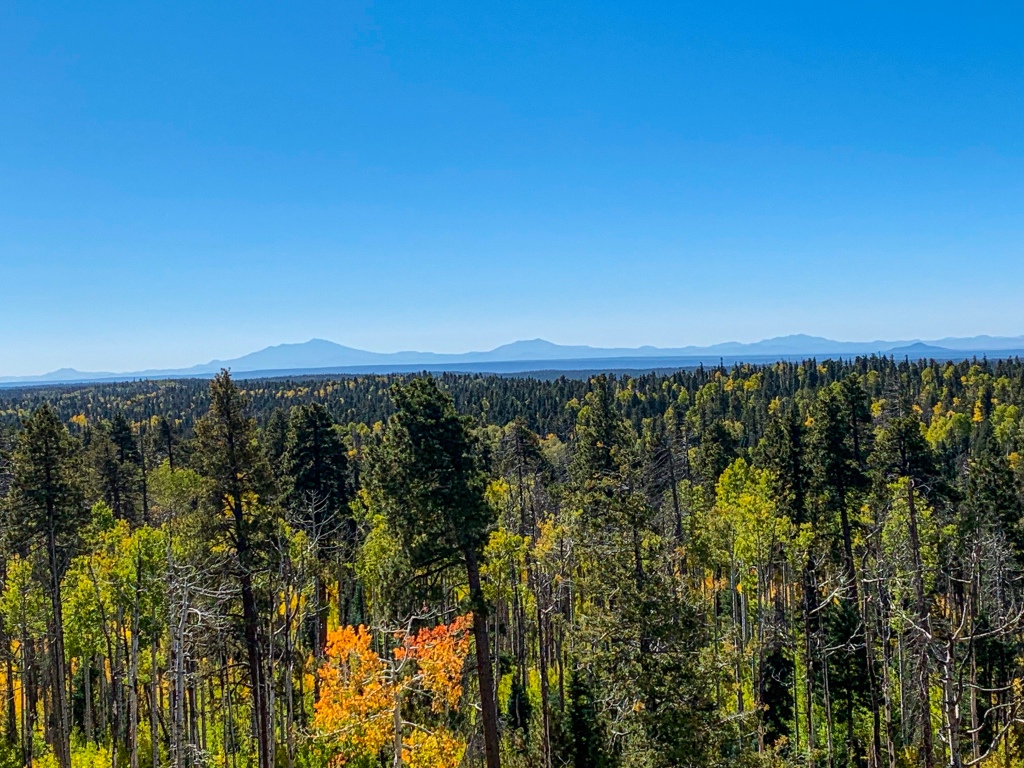
To the south lies the San Francisco volcanic field, topped by the majestic San Francisco Peaks rising above. I’ll go into it in more detail as I approach them, but for now I’ll note that were it not for the canyon, the Peaks would be the most famous geological feature in Arizona. Humphreys Peak, the highest point, stands at 12,633 feet. The Arizona Trail will reach and wrap directly around their flank on the journey south. The city of Flagstaff lies immediately beyond, at the foot of the mountain on the south side.
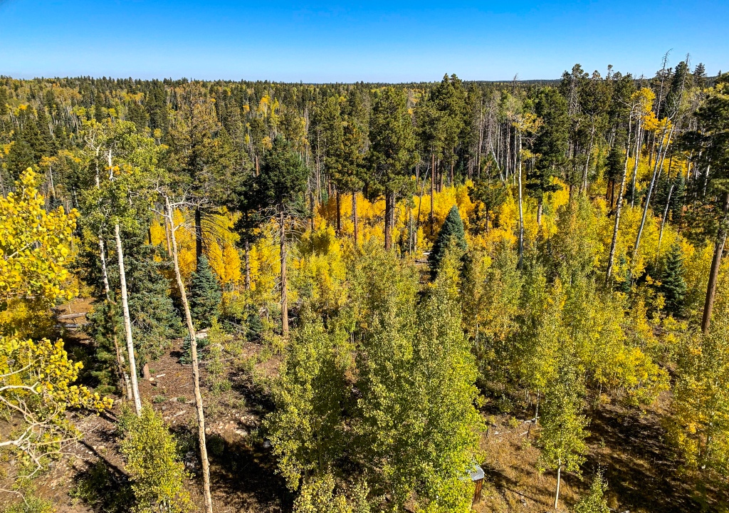
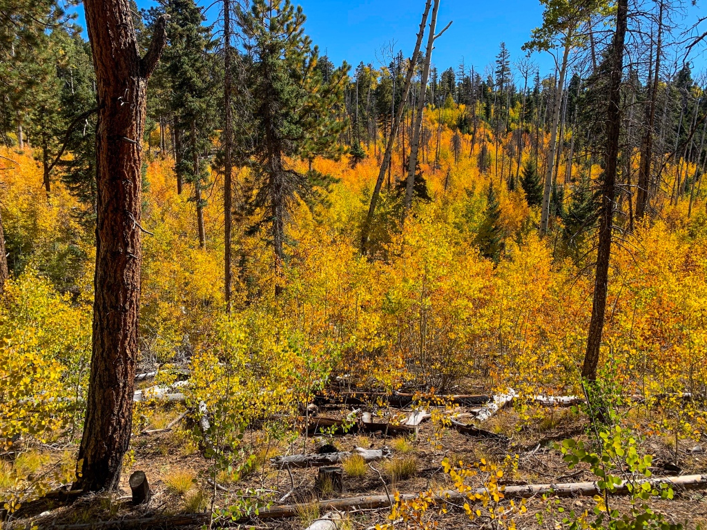
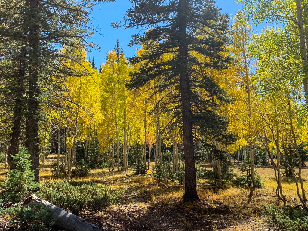
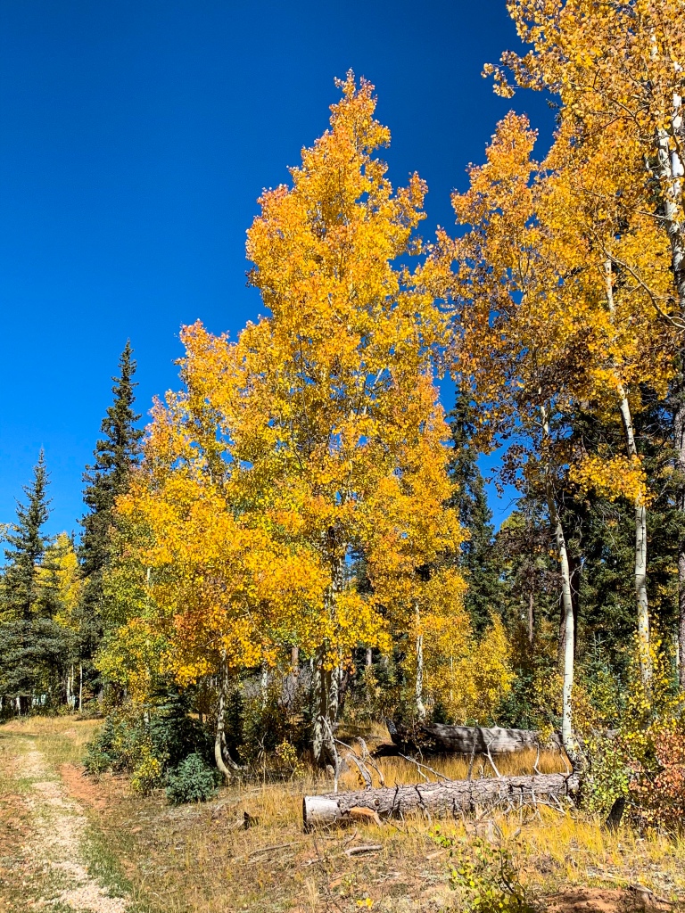
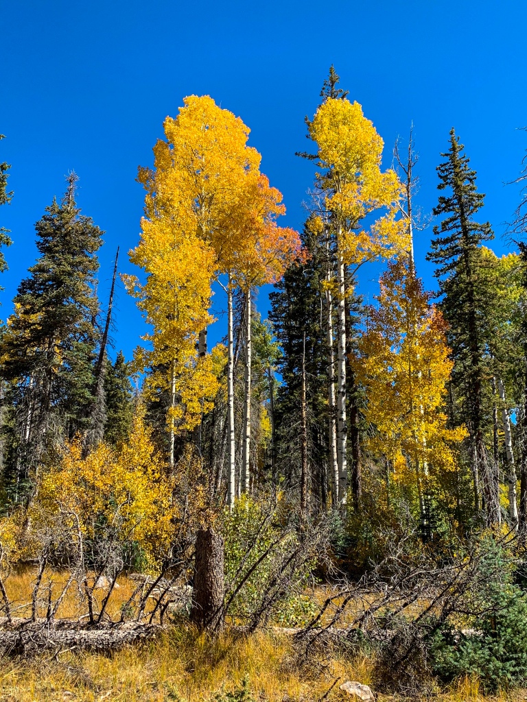
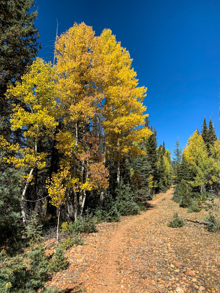
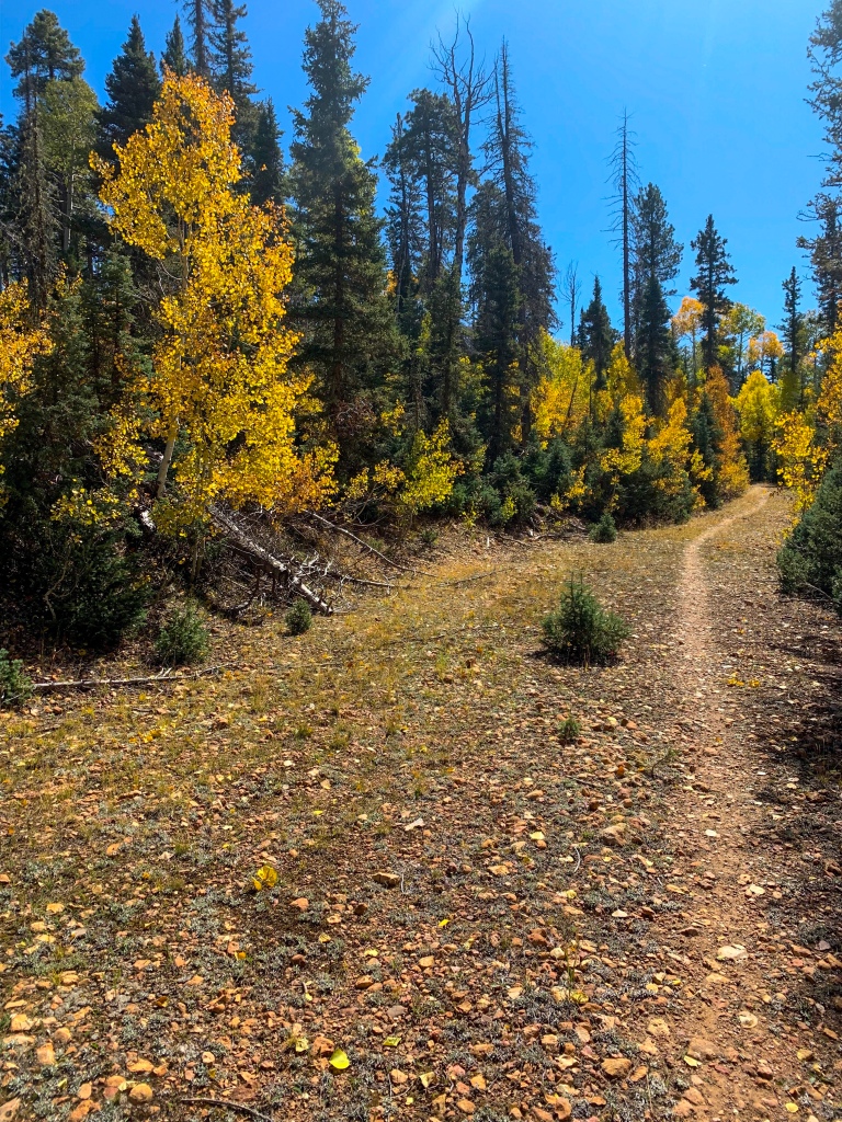
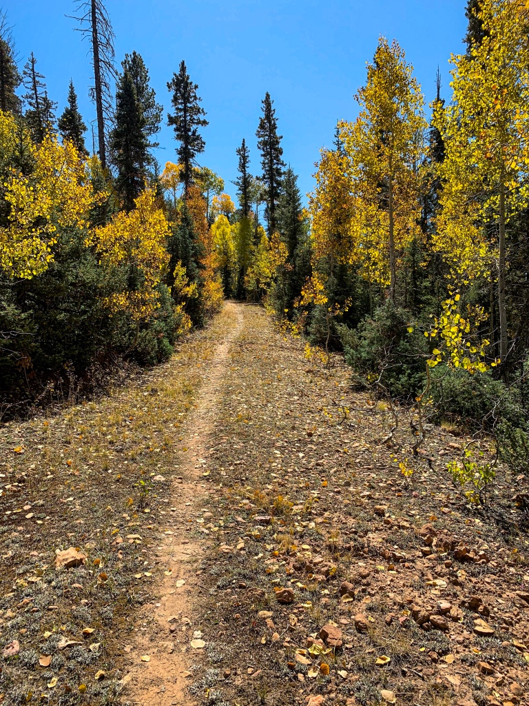
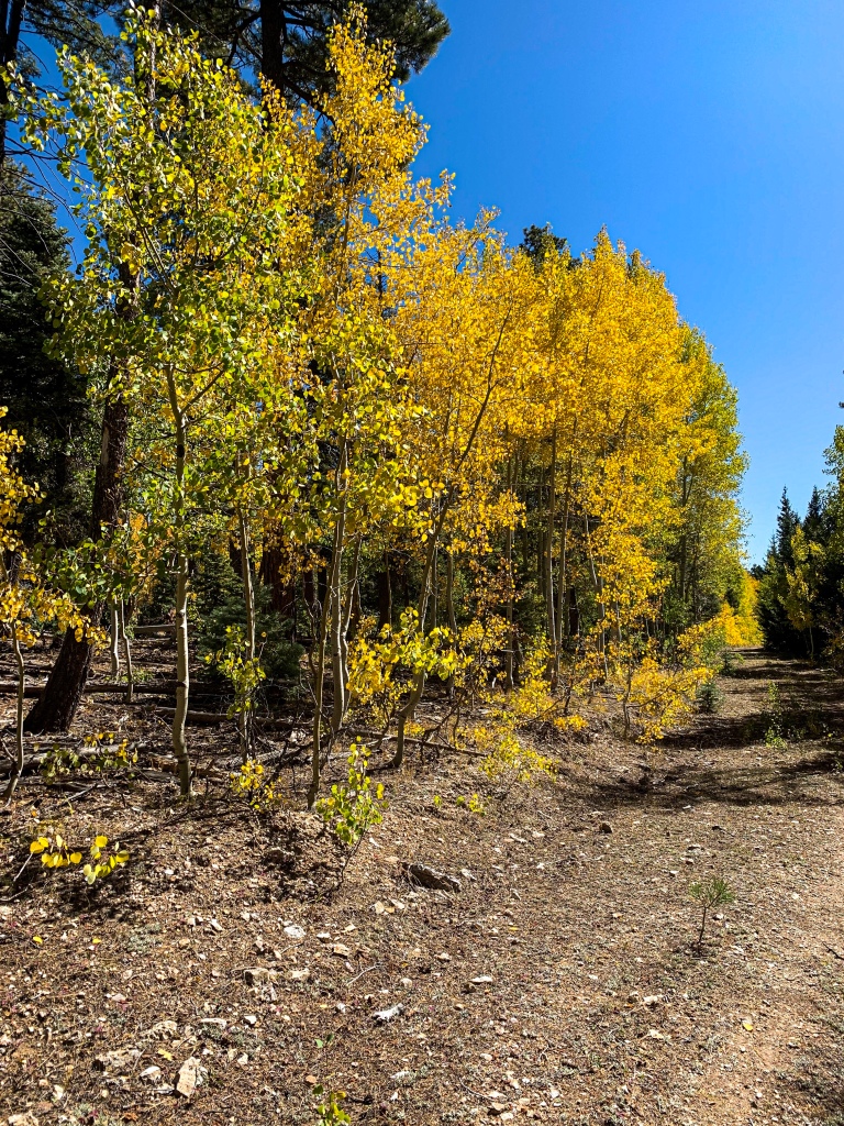
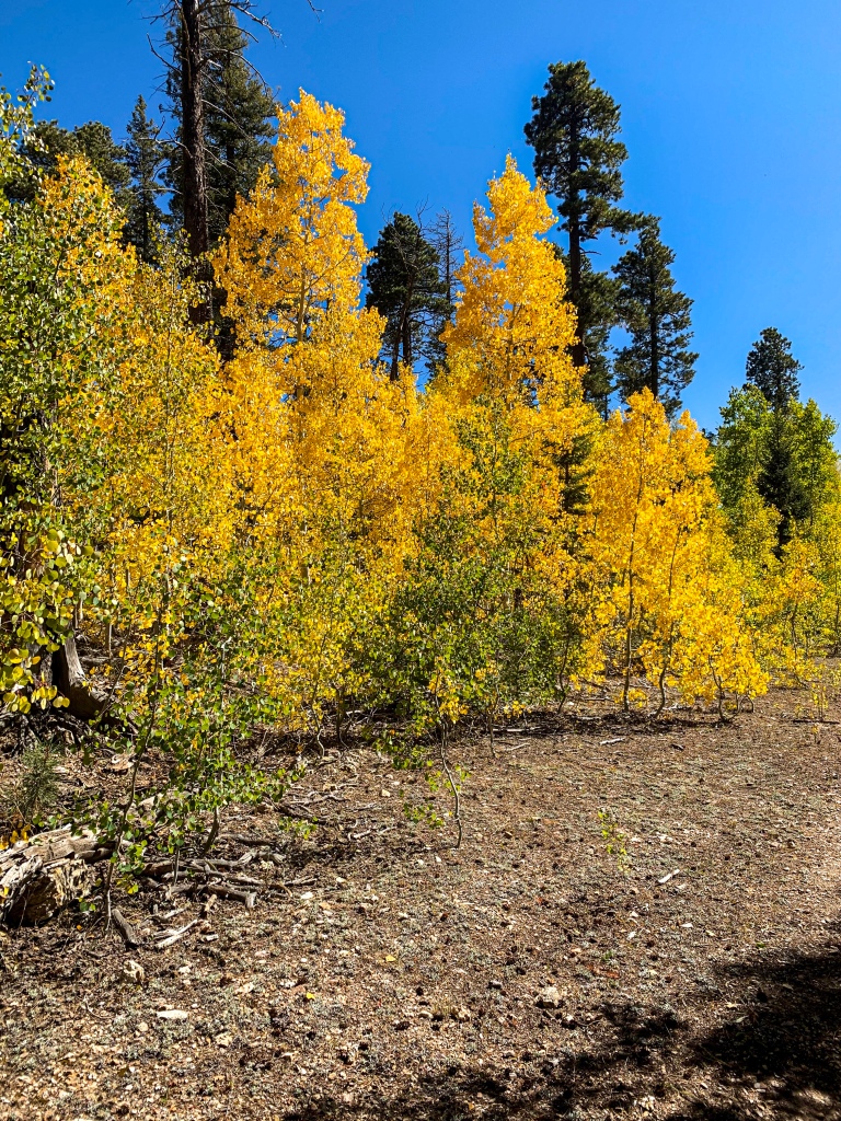
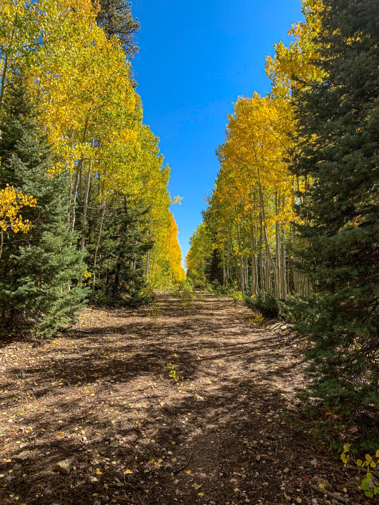
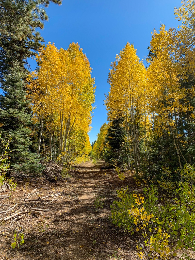
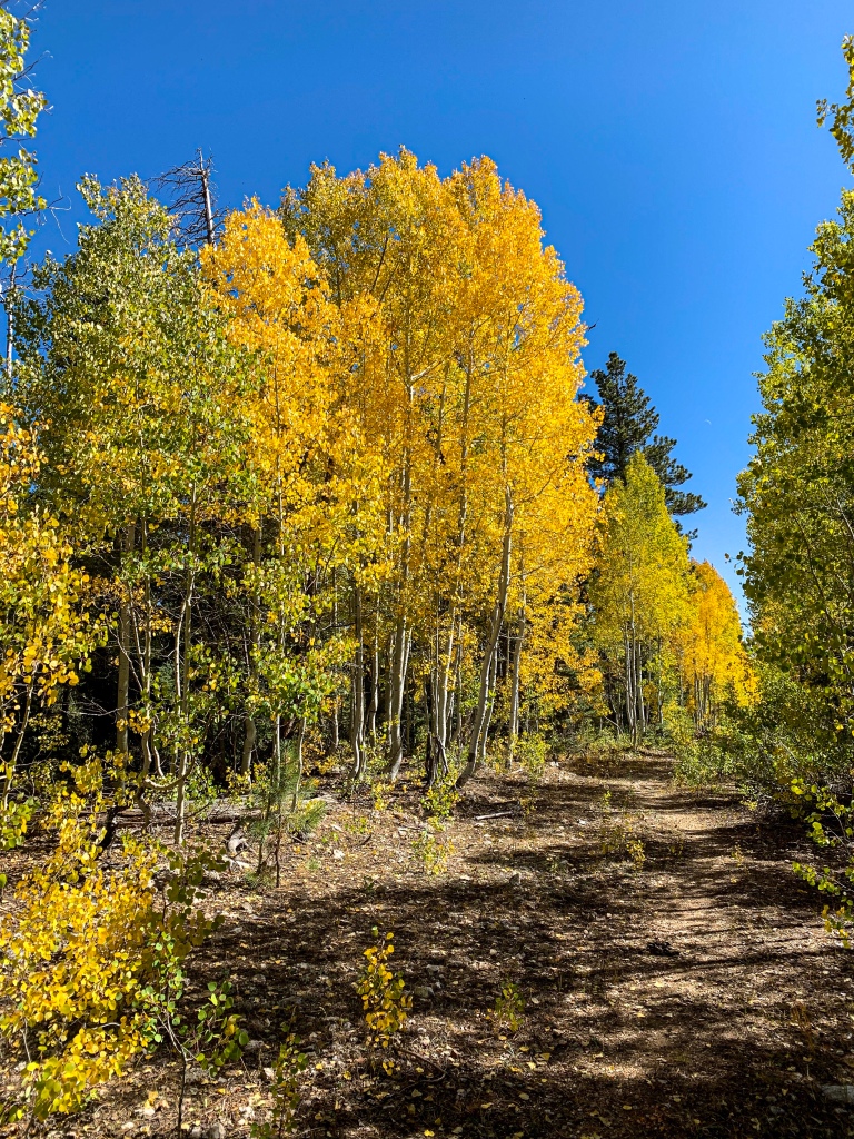
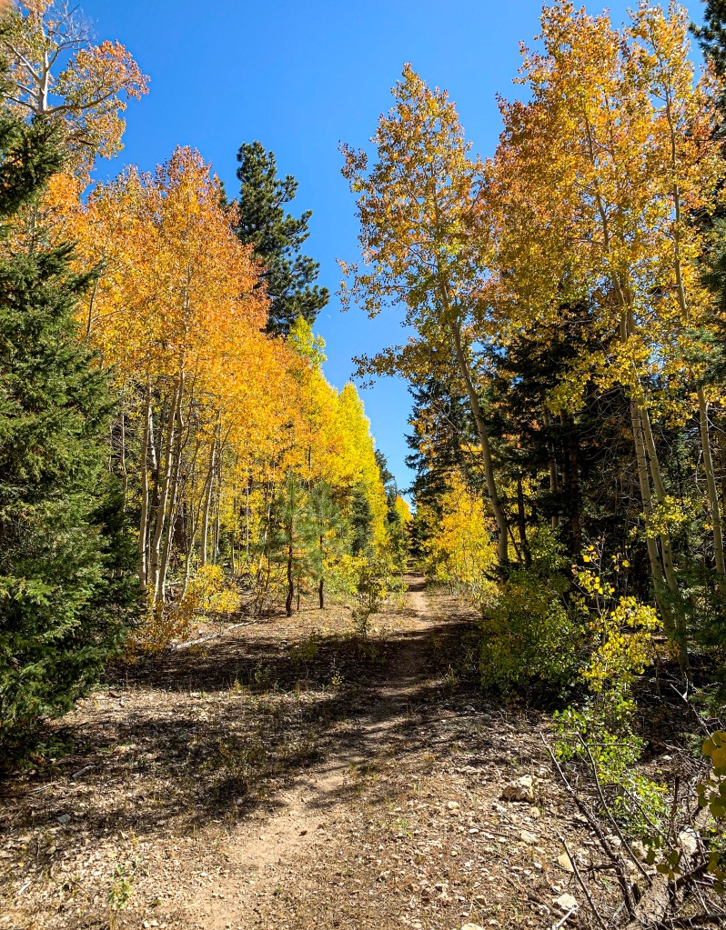
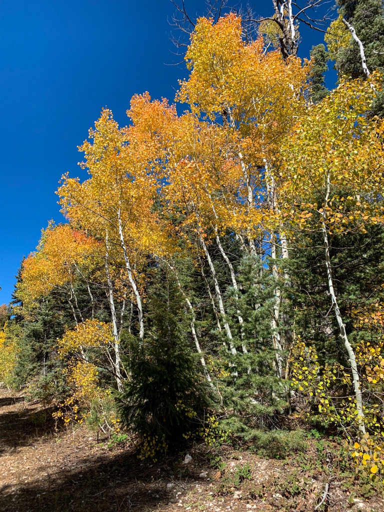
Through the trees one can make out the rim of the canyon, but the dominant view in the foreground is the aspen foliage mixed with spruce/fir and ponderosa forest. Grand Canyon National Park fills the foreground with aspen foliage mixed with spruce/fir and ponderosa forest. Heading back down the road, I head west on the AZT to the park entrance.
Arizona Trail, Passage 39 (Grand Canyon North Rim)
Grand Canyon National Park

Arizona Trail, Passage 39 (Grand Canyon North Rim)
Grand Canyon National Park
Arizona Trail, Passage 39 (Grand Canyon North Rim)
Grand Canyon National Park
Arizona Trail, Passage 39 (Grand Canyon North Rim)
Grand Canyon National Park
Arizona Trail: North Rim Lookout to North Rim Entrance Station
The trail descends down the old road that led to the fire lookout until it reaches AZ-67 at the North Rim Entrance Station.
Arizona Trail Passage 39, Grand Canyon North Rim
Grand Canyon National Park
I check in with the ranger there, who asks if I need anything, but I’m good for now. There was water available for hikers near the station. After some slight confusion about the route leaving that area, I pick up the trail again (purist that I am, after retracing some steps, admittedly) and follow it south.
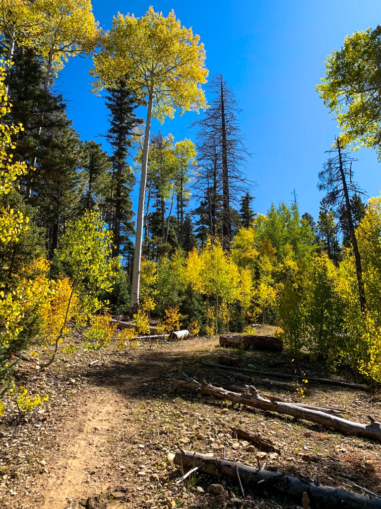
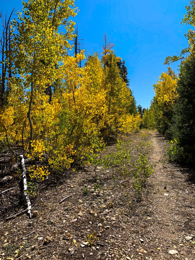
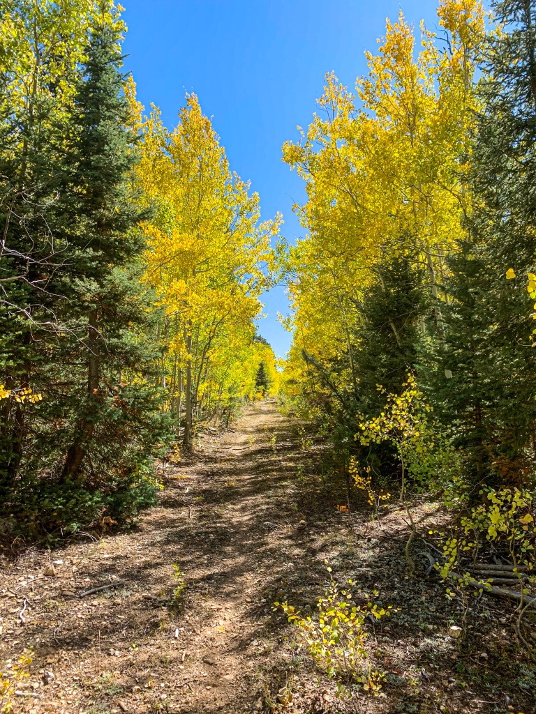
North Rim Entrance Station to Lindbergh Hill
AZT Passage 39 (Grand Canyon North Rim)
Grand Canyon National Park

AZT Passage 39 (Grand Canyon North Rim)
Grand Canyon National Park
AZT Passage 39 (Grand Canyon North Rim)
Grand Canyon National Park
AZT Passage 39 (Grand Canyon North Rim)
Grand Canyon National Park
AZT Passage 39, Grand Canyon National Park
AZT Passage 39 (Grand Canyon North Rim)
Grand Canyon National Park
AZT Passage 39, Grand Canyon North Rim
Grand Canyon National Park
AZT Passage 39, Grand Canyon North Rim
Grand Canyon National Park
AZT Passage 39, Grand Canyon North Rim
Grand Canyon National Park
AZT Passage 39, Grand Canyon North Rim
Grand Canyon National Park
AZT Passage 39, Grand Canyon North Rim
Grand Canyon National Park
AZT Passage 39, Grand Canyon North Rim
Grand Canyon National Park
AZT Passage 39, Grand Canyon North Rim
Grand Canyon National Park
AZT Passage 39, Grand Canyon North Rim
Grand Canyon National Park
AZT Passage 39, Grand Canyon North Rim
Grand Canyon National Park
AZT Passage 39, Grand Canyon North Rim
Grand Canyon National Park
AZT Passage 39, Grand Canyon North Rim
Grand Canyon National Park
Arizona Trail Passage 39 Logistics
| Passage 39 (Grand Canyon North Rim) | |
| Trail Surface | Dirt singletrack |
| Length (Mi) | 12 |
| Season | Spring-fall. No vehicular access to this section December-mid May. Feet of snow in winter. |
| Potential Water Sources | North Rim entrance station (66.5 SOBO, 722.2 NOBO) |
| Trailheads | North: Grand Canyon National Park boundary South: North Kaibab Trailhead, Grand Canyon North Rim |
| Trailhead Access | North: Dirt forest roads in vicinity South: Vehicular access (paved road, developed trailhead) |
| Wilderness | No, but it can feel like it, especially the northern half. |
| Possible resupply points | Grand Canyon North Rim village |
| ATA-Rated Difficulty | Easy to moderate |
| Potential campsites (mileages S to N) | Unless AZ-67 is closed, camping only permitted in designated spots within park. When road is closed, permits required from South Rim visitor center for overnight stays. Hiker-biker sites are available at the North Rim Campground for reduced rates. |
| Ecosystems Traversed | Great Basin Subalpine Conifer Forest Possibly also some Rocky Mountain Montane Conifer Woodland |
| Permits Required? | Yes for camping, not for hiking |
| Highlights | North Rim lookout tower Aspen foliage in fall Grand Canyon North Rim |
| Land Manager Website | https://www.nps.gov/grca |
Arizona Trail Passage 39 Ecology
| Great Basin Subalpine Conifer Forest/Rocky Mountain Montane Conifer Forest | |
| Common Trees/Shrubs | * Corkbark fir * Gambel oak * Quaking aspen * White fir * Blue spruce * Engelmann spruce * Buckwheats * Currants * Dwarf juniper * Elderberry * Fendler’s ceanothus * Greenleaf Manzanita * New Mexican locust * Perry’s rabbitbrush * Raspberry * smooth sumac * Snowberry |
| Common herbaceous plants | * Bracken Fern * Buckwheats * Cinquefoils * Columbines * Fleabane daisies * Geraniums * goldeneye * Goldenrods * Groundsels * Hairy golden aster * Indian paintbrush * Lotus * Lupines * Meadow-rue * Parry’s bellflower * Peavine * Penstemons * Puccoon * Pussytoes * Thistles * Western & white prairie asters * Wild strawberry * Wormwood * Yarrow * Yellow hawkweed |
| Common succulents | Prickly pear, occasionally |
| Aquatic | * Bulrush * Buttercups * Rushes * Sedges * Water plantains |