Arizona Trail Passage 34: San Francisco Peaks
Backpacking the AZT: Day 21
Trans-Arizona/Utah Day 27
AZT Passage 34 (San Francisco Peaks)
Kachina Peaks Wilderness, Coconino National Forest
In the land of Arizona
Through desert heat or snow
Winds a trail for folks to follow
From Utah to Old Mexico
It’s the Arizona Trail
A pathway through the great Southwest
A diverse track through wood and stone
Your spirit it will test
Oh, sure you’ll sweat and blister
You’ll feel the miles every day
You’ll shiver at the loneliness
Your feet and seat will pay
But you’ll see moonlight on the borderlands
You’ll see stars on the Mogollon
You’ll feel the warmth of winter sun
And be thrilled straight through to bone
The aches and pains will fade away
You’ll feel renewed and whole
You’ll never be the same again
With Arizona in your soul
Along the Arizona Trail
A reverence and peace you’ll know
Through deserts, canyons, and mountains
From Utah to Old Mexico
-“The Arizona Trail,” Dale R. Shewalter
Heart of the San Francisco Peaks
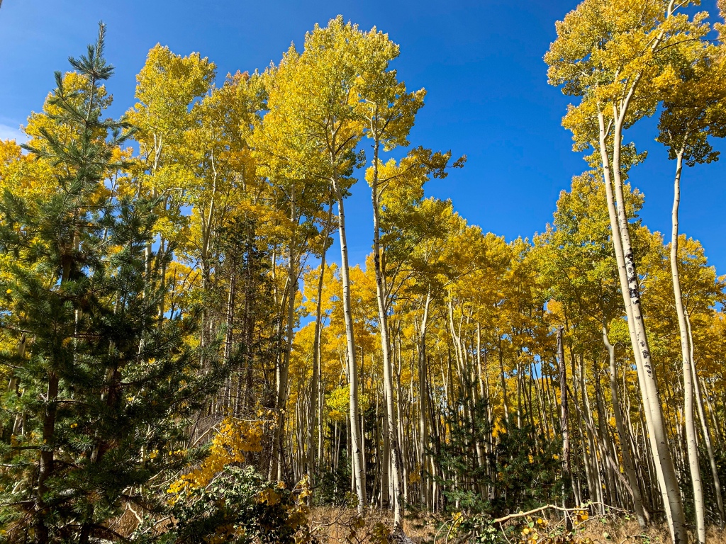
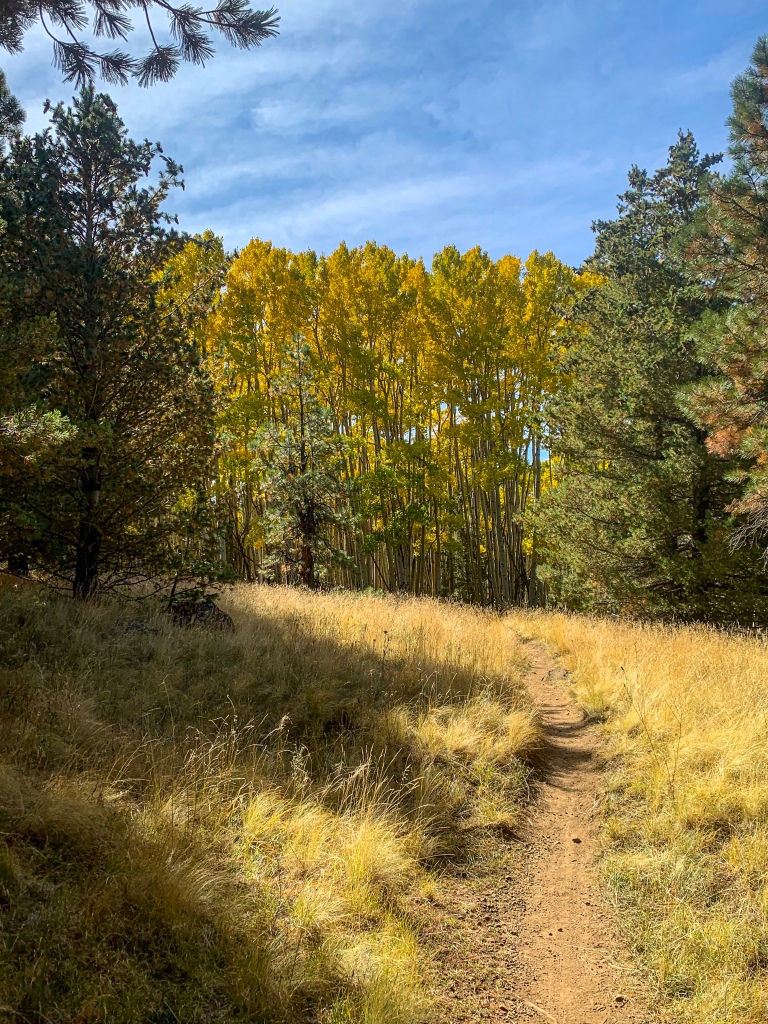
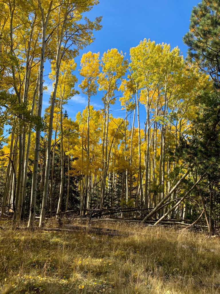
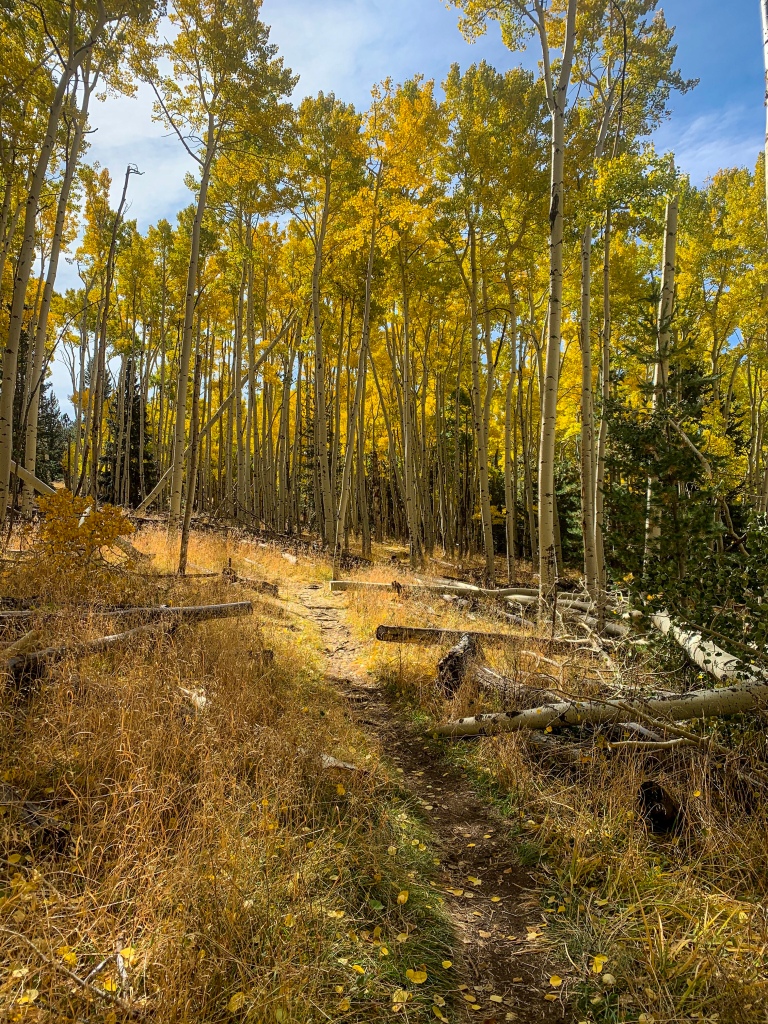
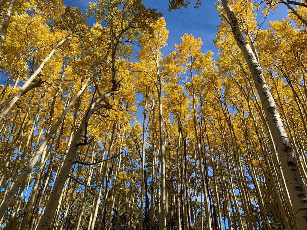
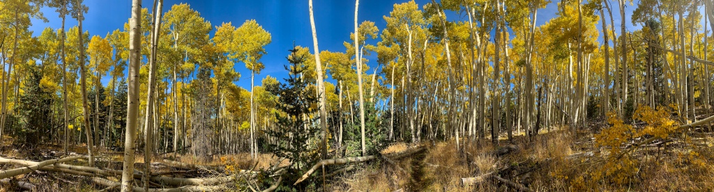
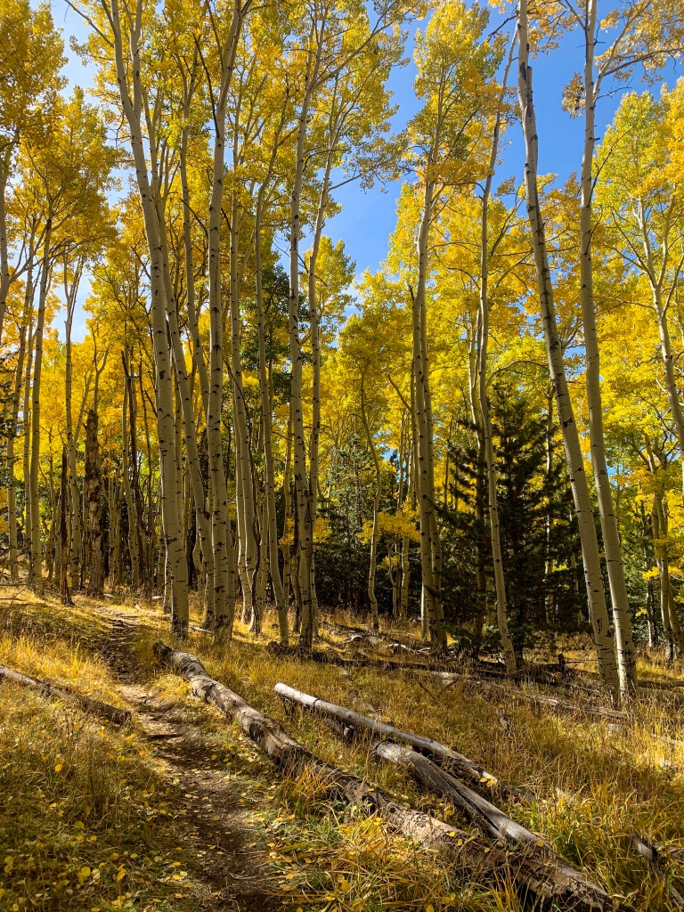
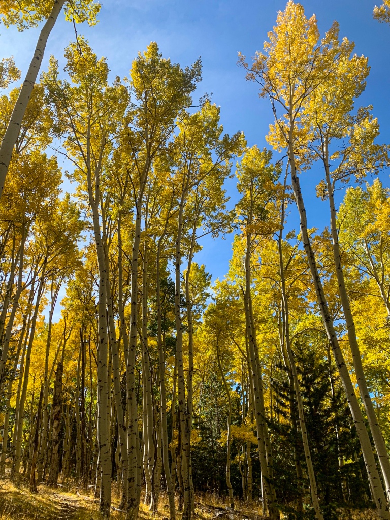
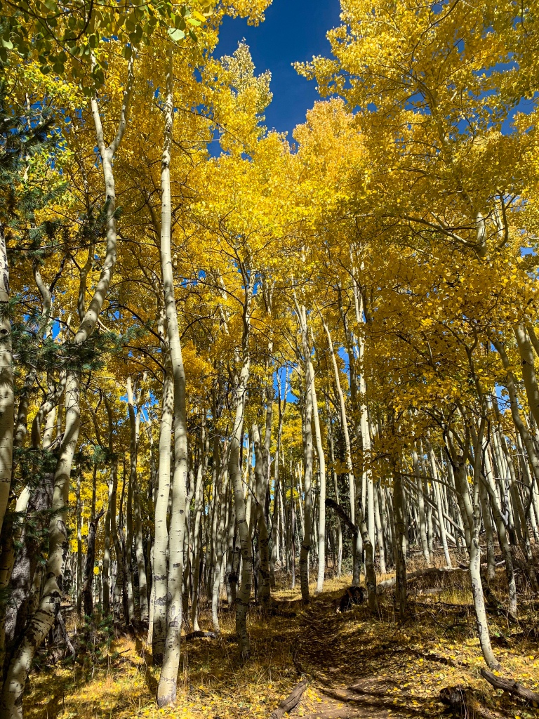
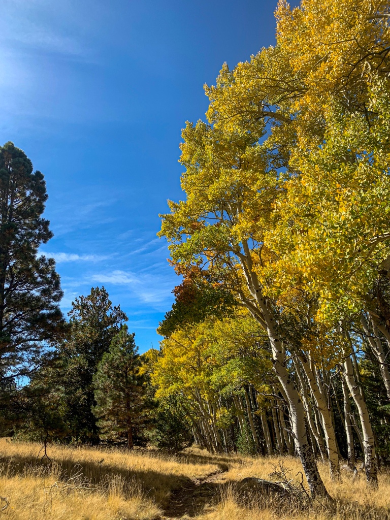
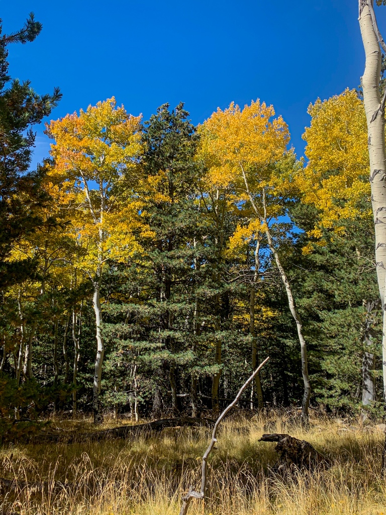
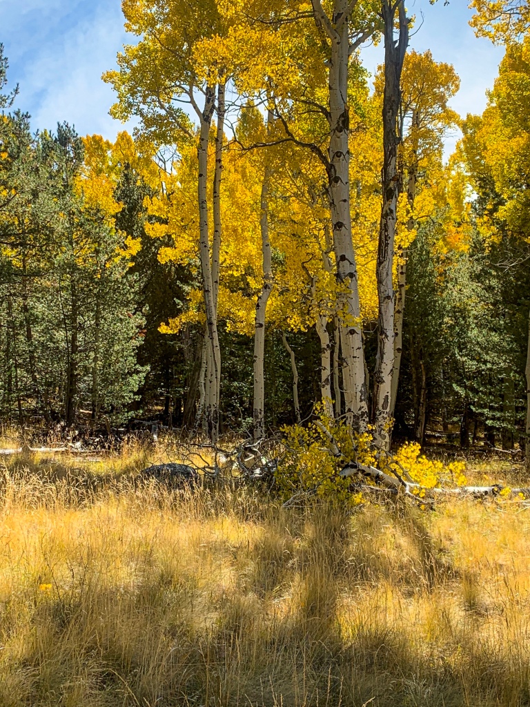
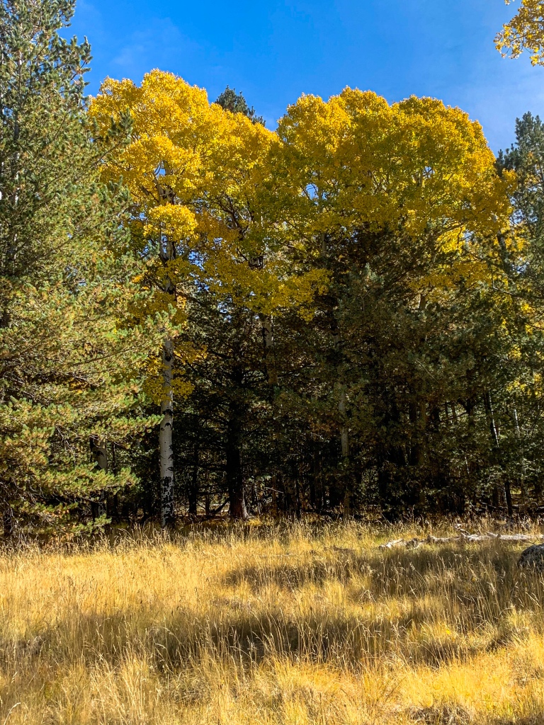
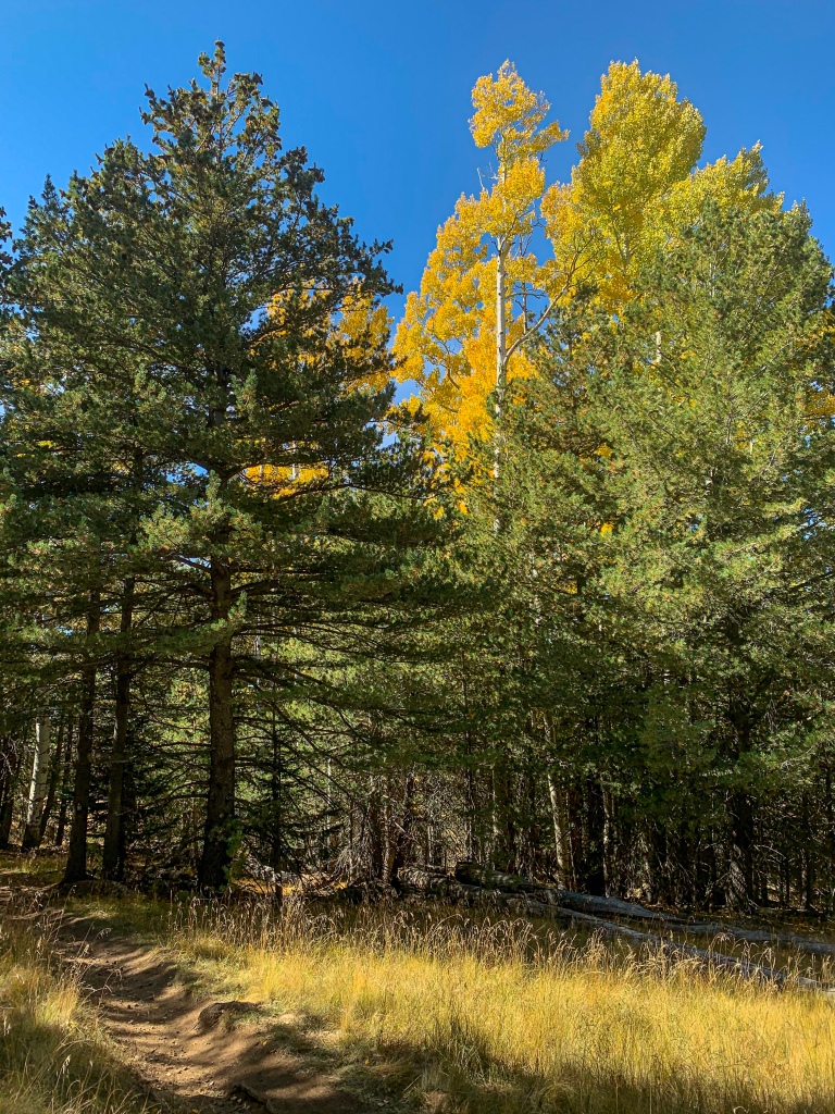
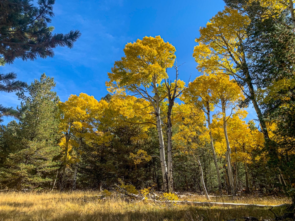
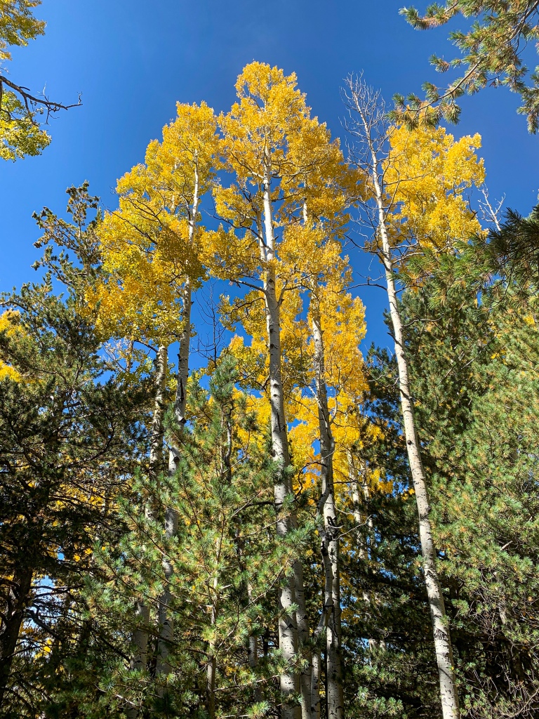
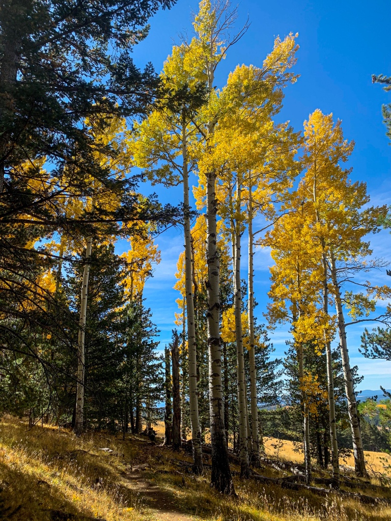
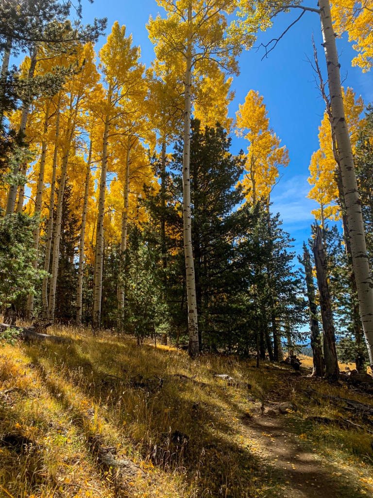
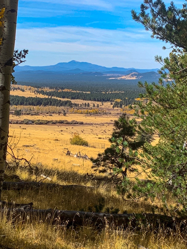
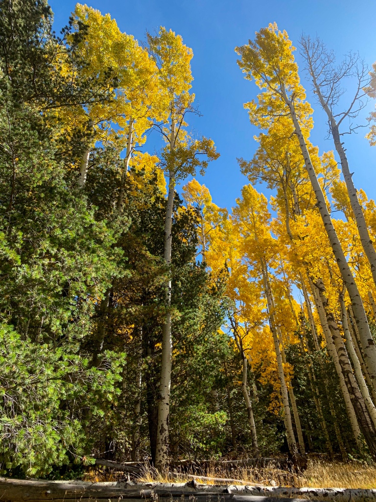
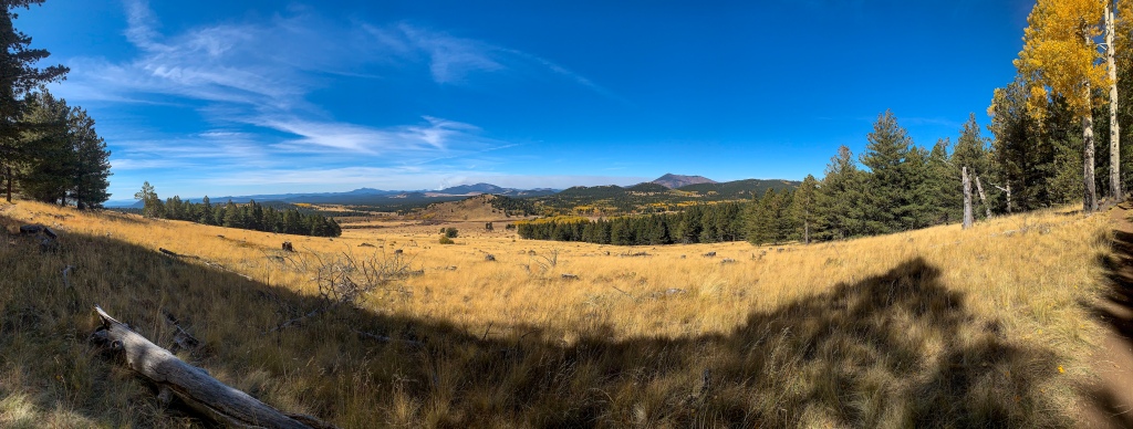
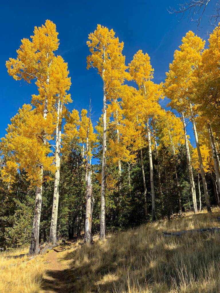
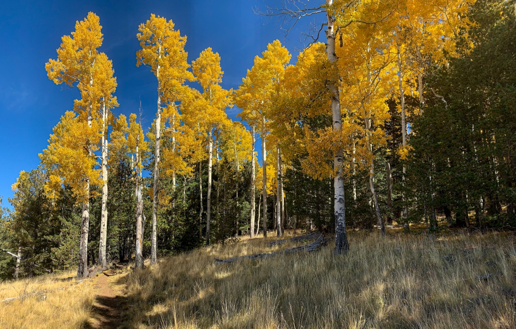
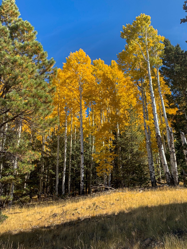
The Arizona Trail continues through massive groves of mature aspen and across rice grass meadows below the San Francisco Peaks. Contouring around below Humphreys and Agassiz Peaks, the two highest in Arizona, the view of the Peaks themselves and the western San Francisco Volcanic Field, over to Kendrick Peak and Bill Williams Mountain near Williams, is wide-open and magnificent. The quality of the aspens seems to be growing. I will again allow these magnificent trees to speak for themselves.
AZT Passage 34 (San Francisco Peaks)
Kachina Peaks Wilderness, Coconino National Forest
AZT Passage 34 (San Francisco Peaks)
Kachina Peaks Wilderness, Coconino National Forest
AZT Passage 34 (San Francisco Peaks)
Kachina Peaks Wilderness, Coconino National Forest
AZT Passage 34 (San Francisco Peaks)
Kachina Peaks Wilderness, Coconino National Forest
AZT Passage 34 (San Francisco Peaks)
Kachina Peaks Wilderness, Coconino National Forest
AZT Passage 34 (San Francisco Peaks)
Kachina Peaks Wilderness, Coconino National Forest
AZT Passage 34 (San Francisco Peaks)
Kachina Peaks Wilderness, Coconino National Forest
AZT Passage 34 (San Francisco Peaks)
Kachina Peaks Wilderness, Coconino National Forest
The San Francisco Peaks are the highest peaks in Arizona today, including Humphreys at 12633 and Agassiz at 12360 ft. Native peoples such as the Hopi believe them to be the home of the Kachina spirits, supernatural beings that visit the villages in the first half of the year. This makes the Peaks exceptionally sacred to local Hopi and Zuni cultures. The wilderness that surrounds much of the Peaks is named the Kachina Wilderness in recognition of this connection, and to native peoples they are the Kachina Peaks.
Arizona Trail: San Francisco Peaks West
AZT Passage 34 (San Francisco Peaks)
Kachina Peaks Wilderness, Coconino National Forest
AZT Passage 34 (San Francisco Peaks)
Kachina Peaks Wilderness, Coconino National Forest
AZT Passage 34 (San Francisco Peaks)
Kachina Peaks Wilderness, Coconino National Forest
AZT Passage 34 (San Francisco Peaks)
Kachina Peaks Wilderness, Coconino National Forest
AZT Passage 34 (San Francisco Peaks)
Kachina Peaks Wilderness, Coconino National Forest
AZT Passage 34 (San Francisco Peaks)
Kachina Peaks Wilderness, Coconino National Forest
Physically, the San Francisco Peaks are a product of a volcanic hotspot under northern Arizona that formed what we know of today as the San Francisco Volcanic Field, a cluster of lava fields, around 600 cinder cones, and lava domes surrounding Flagstaff. The most prominent feature are the Peaks, an extinct stratovolcano complex.
San Francisco Mountain erupted around 400,000 years ago in a lateral blast (think Mt St. Helens). The eruption carved a hole in the northeast side of the mountain and is estimated to have lowered the height of the mountain by approximately 6000 ft. At an estimated height around 18000 ft prior to the eruption, had the eruption not taken place it would be the highest peak in the continental United States today. The view from the top reaches into Utah, Arizona, and New Mexico at a minimum. I’m not sure if you can see the southwest corner of Colorado.
The most recent eruption in the San Francisco volcanic field was Sunset Crater, now contained within Sunset Crater Volcano National Monument and probably one of the most unexpected places for many visitors in the United States where one can walk on and get a hands-on experience with lava. Sunset Crater last erupted around 1085 AD, meaning there is human documentation of the event from native people.
AZT Passage 34 (San Francisco Peaks)
Kachina Peaks Wilderness, Coconino National Forest
AZT Passage 34 (San Francisco Peaks)
Kachina Peaks Wilderness, Coconino National Forest
AZT Passage 34 (San Francisco Peaks)
Kachina Peaks Wilderness, Coconino National Forest
AZT Passage 34 (San Francisco Peaks)
Kachina Peaks Wilderness, Coconino National Forest
AZT Passage 34 (San Francisco Peaks)
Kachina Peaks Wilderness, Coconino National Forest
AZT Passage 34 (San Francisco Peaks)
Kachina Peaks Wilderness, Coconino National Forest
AZT Passage 34 (San Francisco Peaks)
Kachina Peaks Wilderness, Coconino National Forest
AZT Passage 34 (San Francisco Peaks)
Kachina Peaks Wilderness, Coconino National Forest

AZT Passage 34 (San Francisco Peaks)
Kachina Peaks Wilderness, Coconino National Forest
AZT Passage 34 (San Francisco Peaks)
Kachina Peaks Wilderness, Coconino National Forest

AZT Passage 34 (San Francisco Peaks)
Kachina Peaks Wilderness, Coconino National Forest
| Passage 35 (Babbitt Ranch) | |
| Length | 24.5 miles |
| Trail Surface | Mostly dirt/unimproved roads |
| Passage Topo Map | Passage 35 (Babbitt Ranch) Topo Map |
| Season | Spring-Fall |
| Potential Water Sources | Moqui Stage Station (potential caches, no natural source) Tub Ranch water tank Cedar Ranch (supply box) For full current AZTA monitored water report: AZT Water Sources |
| Trailheads | Moqui Stage Station (accessed via FR-301 in the Kaibab National Forest) Cedar Ranch |
| ATA-Rated Difficulty | Easy/Moderate |
| Hazards | Water availability Elevation Direct sun (summer) |
| Highlights | Views of the San Francisco Peaks |
| Passage Description | Passage 35 (Babbitt Ranch) |
| Current Weather | Passage 35 Weather |
scottandloristravels
Aspen trees are my favorite! We called them quakes. Growing up in Colorado gave me an appreciation for the golden color of the fall leaves. Thanks for sharing your adventure.
Aspen
Thanks! Yes, they are also known as quakes or quaking aspens due to the sound the leaves make in a breeze. This was actually my first time seeing them in the fall, it was amazing! Like walking through a forest of pure gold in places. Just incredible.