Day 19: Passage 35, Babbitt Ranch & 34, San Francisco Peaks
AZT Day 19
Trans-Arizona/Utah Hike Day 26
Welcome back to Aspen’s Tracks, thruhiking the Arizona Trail from Utah to Mexico. After camping last night along the Babbit Ranch stretch of the trail, today finds me backpacking southward toward Flagstaff once again. Hiking to the summit of Missouri Bill Hill completes the day and sets me up for a motivational sunrise tomorrow morning.
In the land of Arizona
Through desert heat or snow
Winds a trail for folks to follow
From Utah to Old Mexico
It’s the Arizona Trail
A pathway through the great Southwest
A diverse track through wood and stone
Your spirit it will test
Oh, sure you’ll sweat and blister
You’ll feel the miles every day
You’ll shiver at the loneliness
Your feet and seat will pay
But you’ll see moonlight on the borderlands
You’ll see stars on the Mogollon
You’ll feel the warmth of winter sun
And be thrilled straight through to bone
The aches and pains will fade away
You’ll feel renewed and whole
You’ll never be the same again
With Arizona in your soul
Along the Arizona Trail
A reverence and peace you’ll know
Through deserts, canyons, and mountains
From Utah to Old Mexico
-“The Arizona Trail,” Dale R. Shewalter
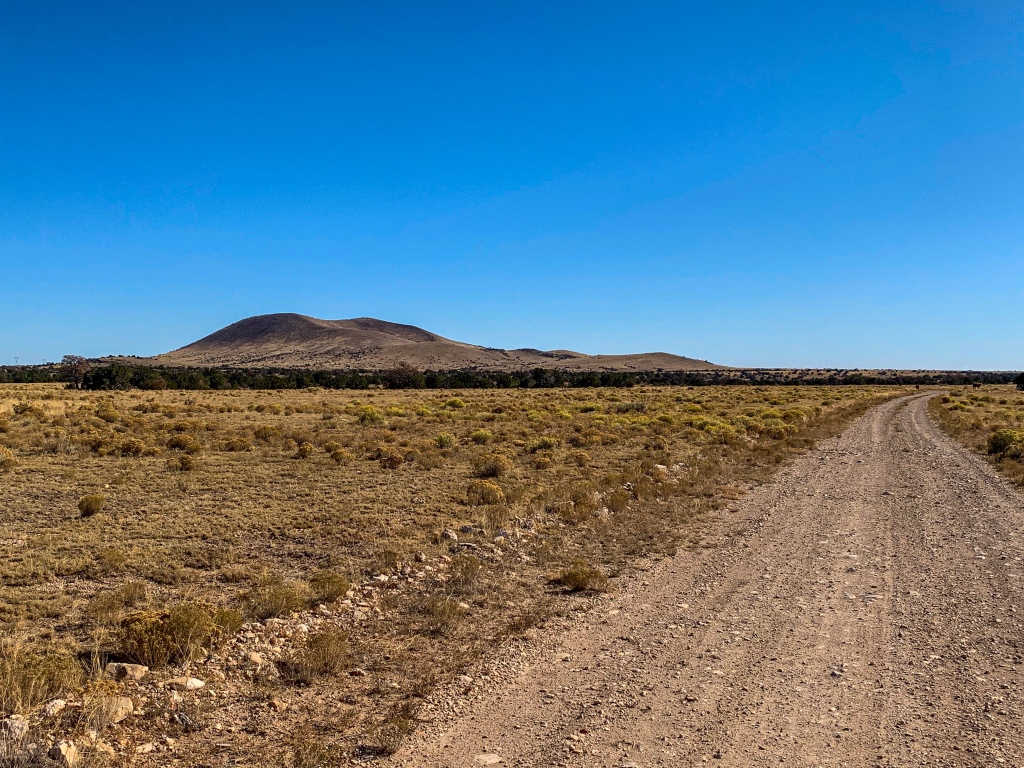
Arizona Trail: Babbitt Ranch Completion
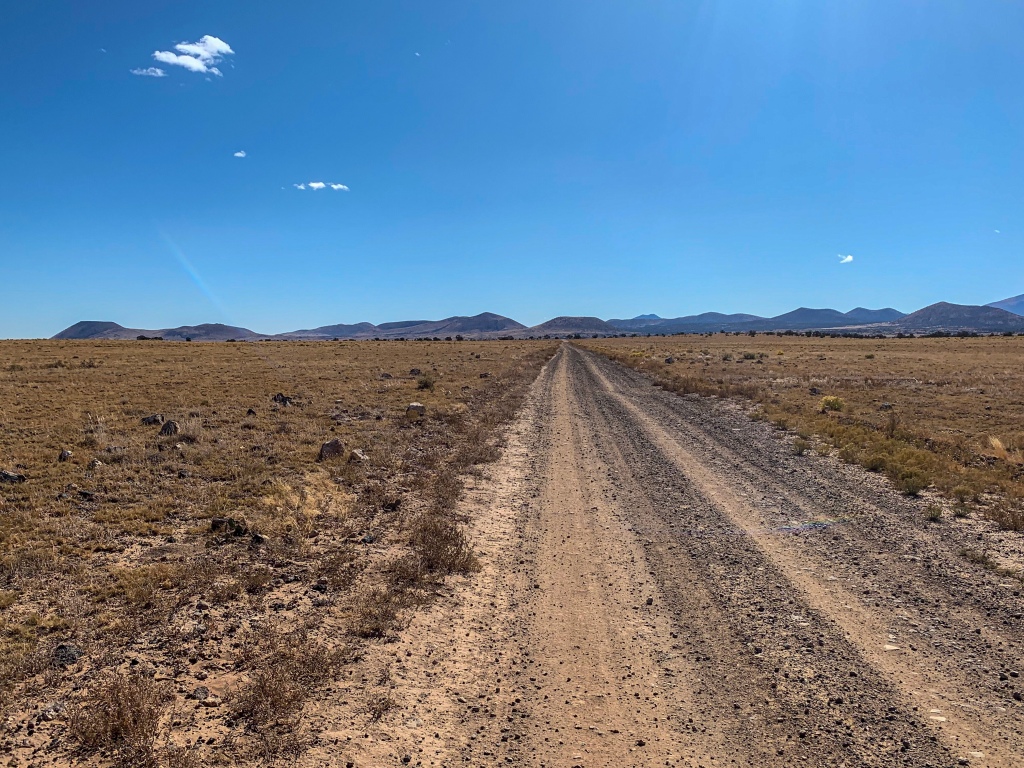
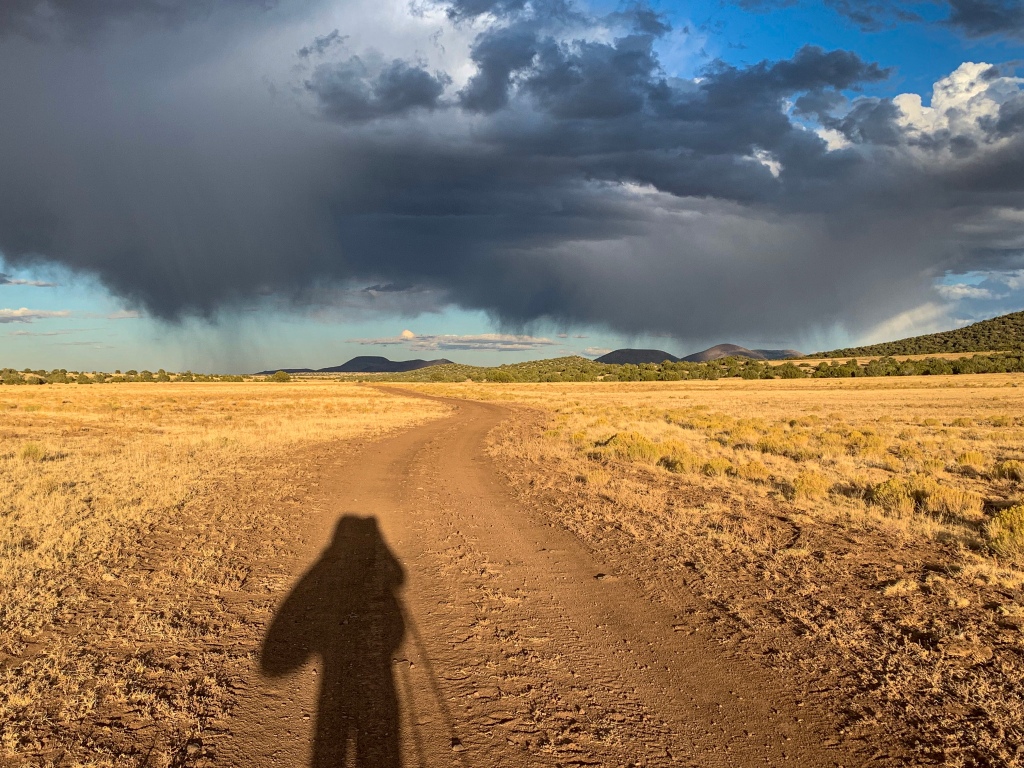
Heading down the trail from the central Ranch provides more of the same early on – great views of the Peaks, but little else. I stop for a break and water at Tub Ranch, the first water source since Lockwood Tank (where I hadn’t stopped) and then continue south.
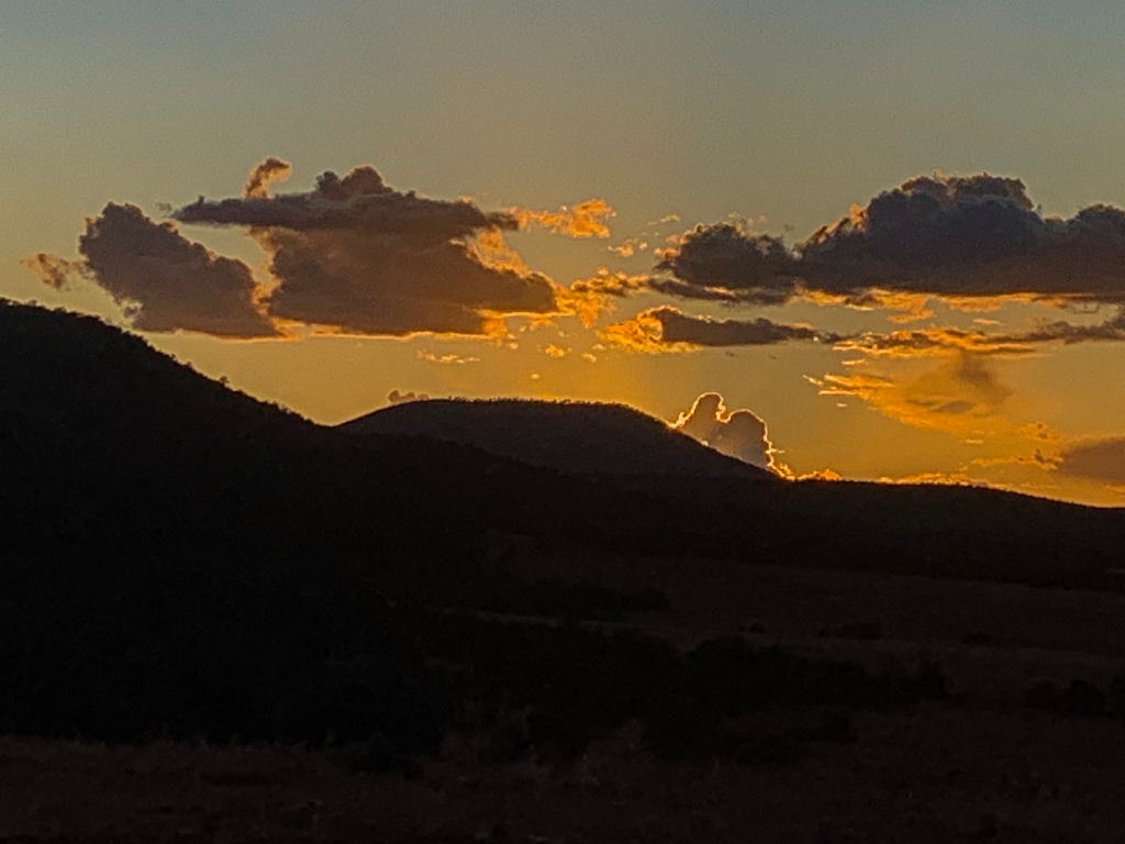
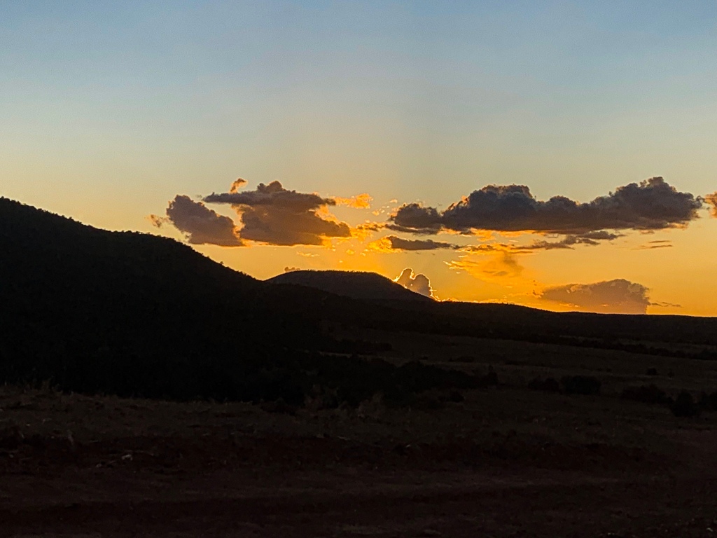
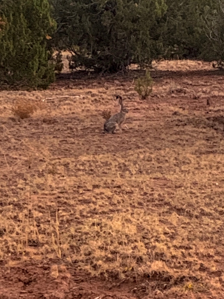
Arizona Trail (Passage 35, Babbitt Ranch)
Arizona Trail (Passage 35, Babbitt Ranch)
Arizona Trail (Passage 35, Babbitt Ranch)
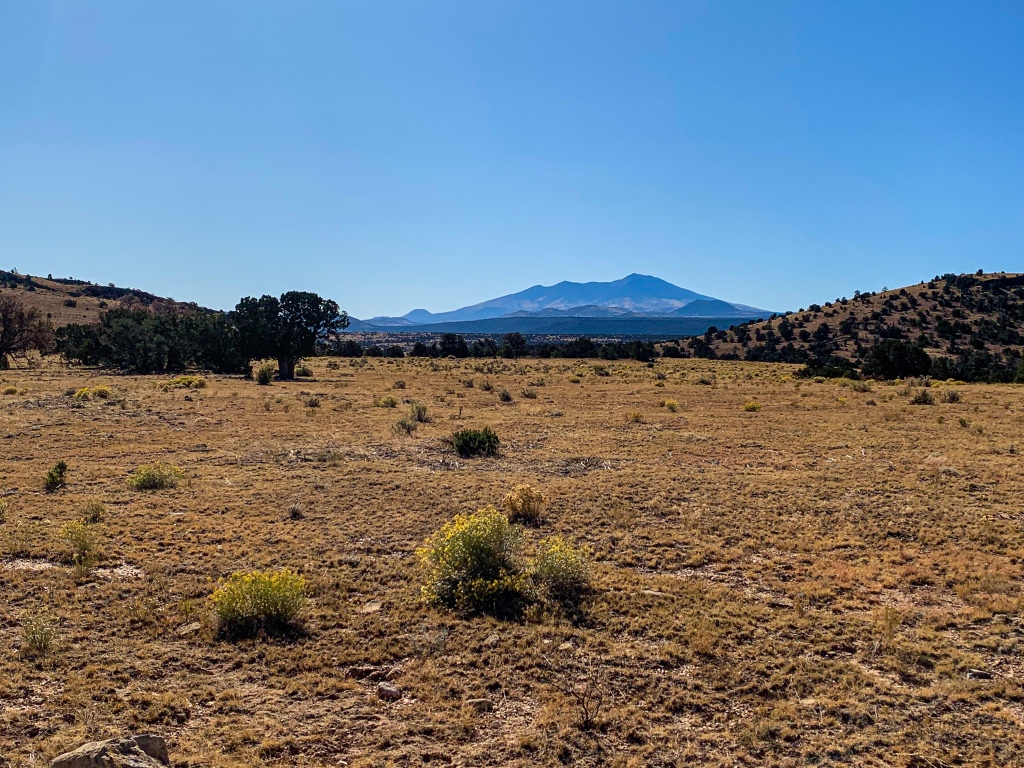
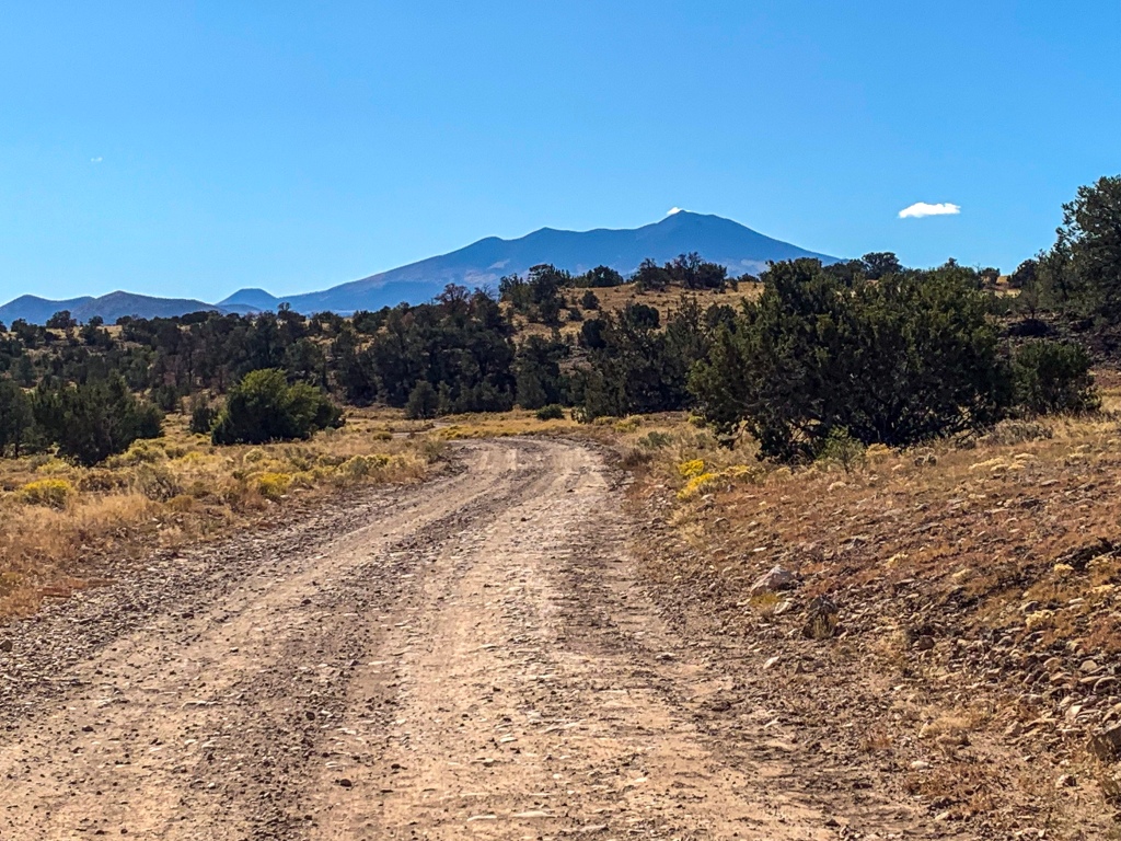
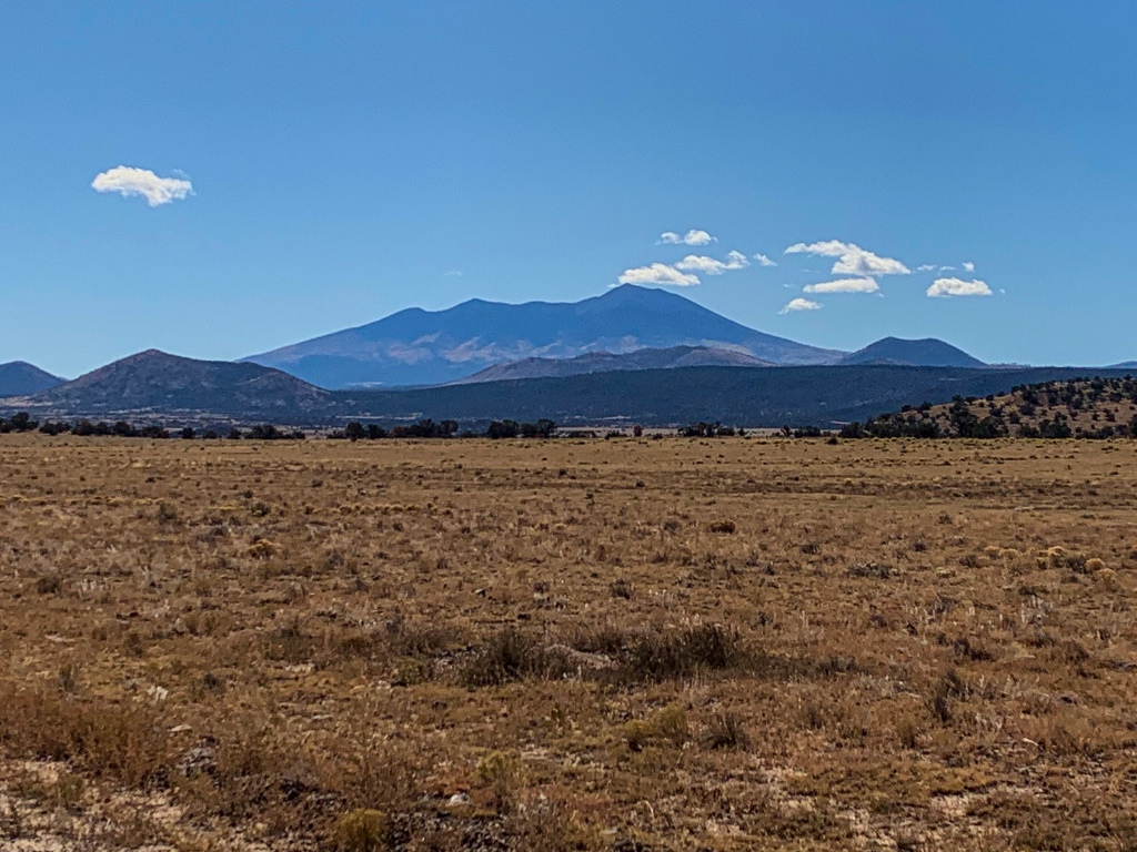
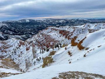
A note about the Peaks, since the views are so good of them here. They are the highest peaks in Arizona today, including Humphreys at 12633 and Agassiz at 12360 ft. They are a product of a volcanic hotspot under northern Arizona that formed what we know of today as the San Francisco Volcanic Field, a cluster of lava fields, around 600 cinder cones, and lava domes surrounding Flagstaff. The most prominent feature are the Peaks, an extinct stratovolcano complex.
San Francisco Mountain erupted around 400,000 years ago in a lateral blast (think Mt St. Helens). The eruption carved a hole in the northeast side of the mountain and is estimated to have lowered the height of the mountain by approximately 6000 ft. At an estimated height around 18000 ft prior to the eruption, had the eruption not taken place it would be the highest peak in the continental United States today. The view from the top reaches into Utah, Arizona, and New Mexico at a minimum. I’m not sure if you can see the southwest corner of Colorado.
The most recent eruption in the San Francisco volcanic field was Sunset Crater, now contained within Sunset Crater Volcano National Monument and probably one of the most unexpected places for many visitors in the United States where one can walk on and get a hands-on experience with lava. Sunset Crater last erupted around 1085 AD, meaning there is human documentation of the event from native people.
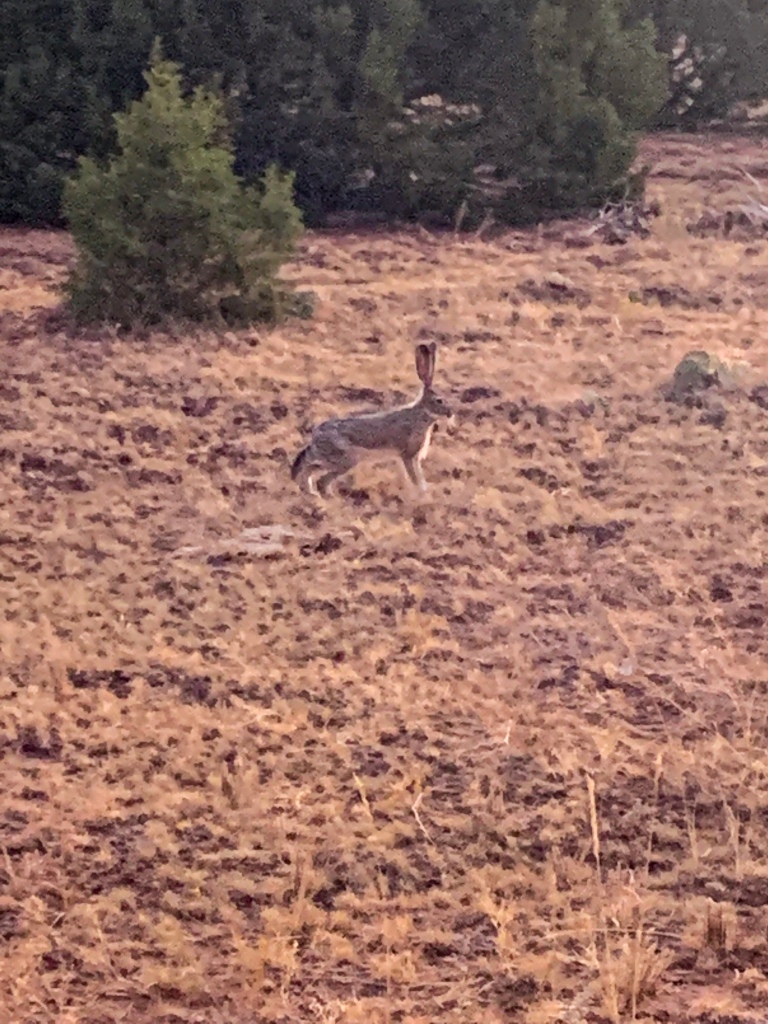
Arizona Trail (Passage 35, Babbitt Ranch)
Arizona Trail (Passage 35, Babbitt Ranch)
Arizona Trail (Passage 35, Babbitt Ranch)
Arizona Trail (Passage 35, Babbitt Ranch)
Arizona Trail: San Francisco Peaks, Cedar Ranch Trailhead to Missouri Bill Hill
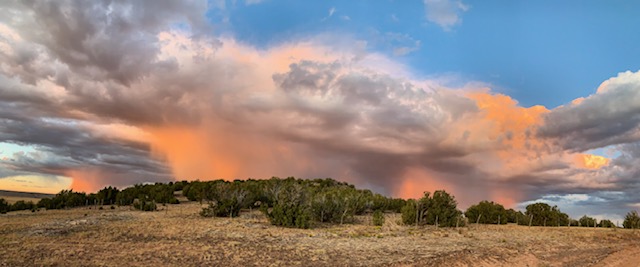
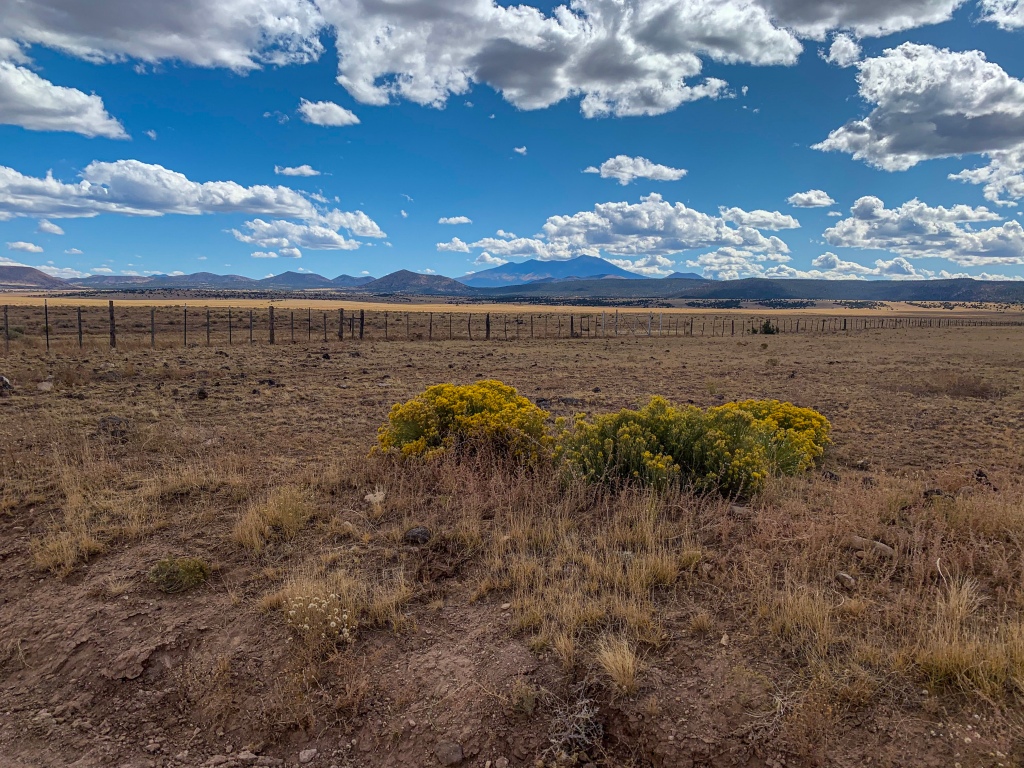
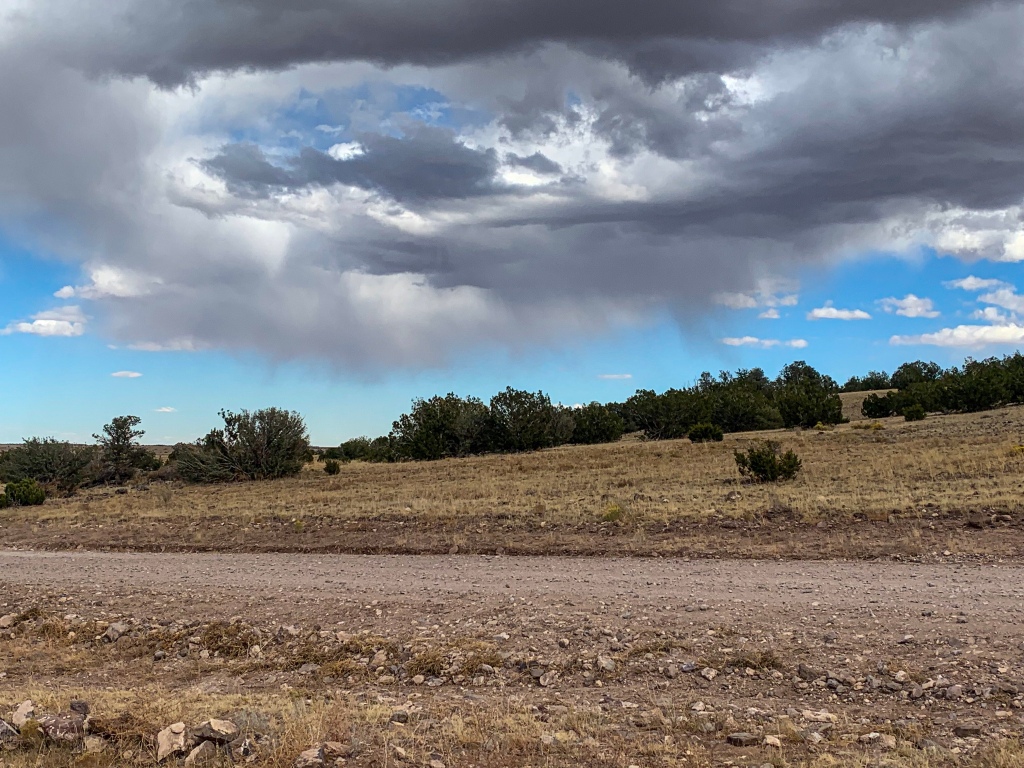
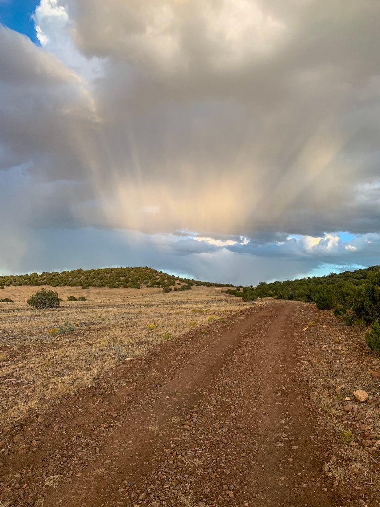
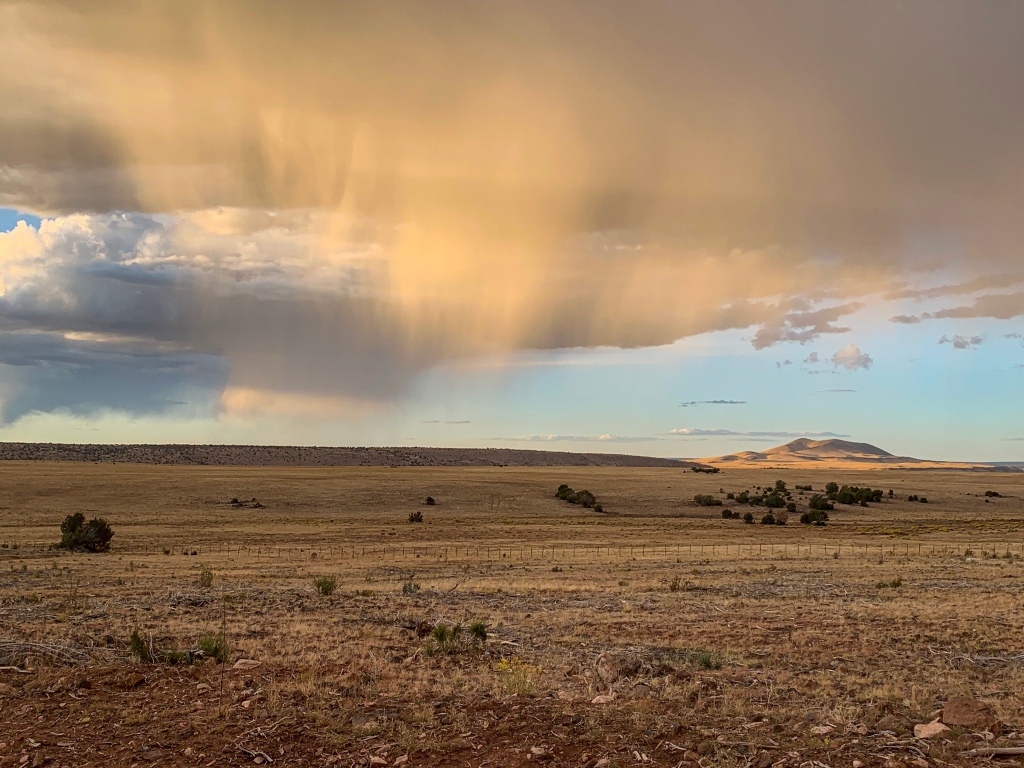
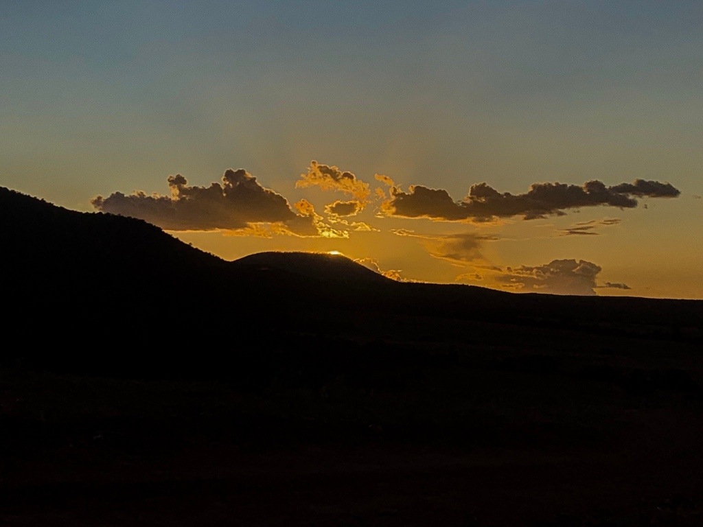
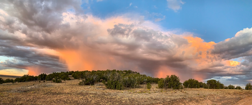
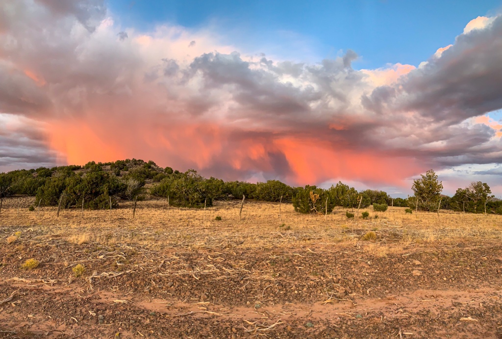
Late afternoon finds me entering Passage 34, the San Francisco Peaks, and finally off the Ranch roads. The trailhead also marks the entry to the Coconino National Forest. Some trail angel left beer and candy at the resupply box here, much appreciated. The Peaks are just towering above at this point. I encounter Timmy, a friend of Boates from the Canyon, and we talk and hike together for a while. I leave first (for once) but he catches me speaking with some day trippers heading out and we hike together for much of the rest of the evening. Showers pass along with virga, a desert phenomenon where precipitation falls but evaporates before reaching the ground, comes in the evening, ultimately making for a spectacular sunset as we head into the thick of the northern San Francisco Volcanic Field.
Sunset
Coconino National Forest
Coconino National Forest


Coconino National Forest
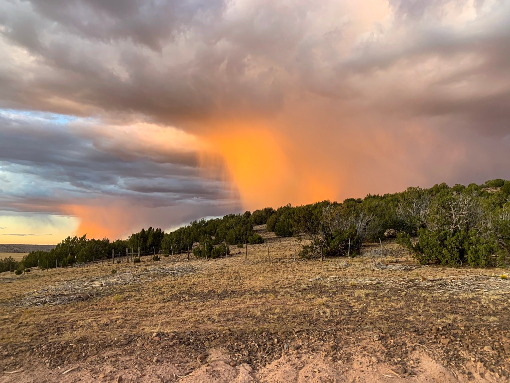

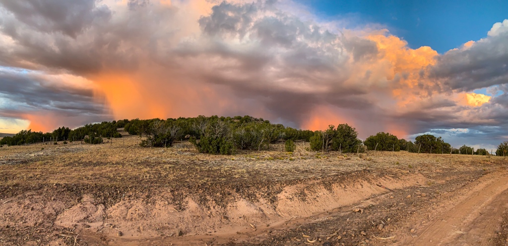
Arizona Trail, Passage 34 (San Francisco Peaks)
Coconino National Forest
Coconino National Forest
Coconino National Forest
Coconino National Forest
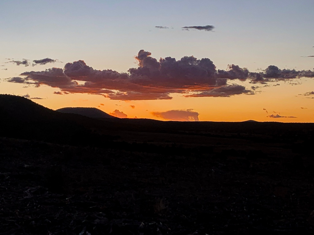
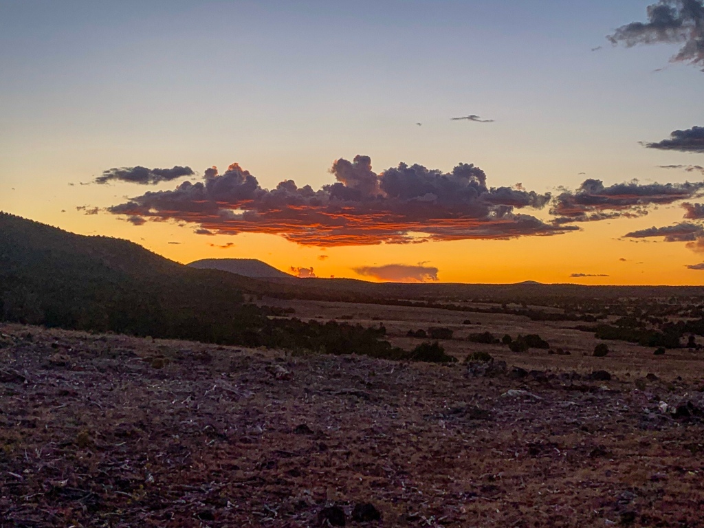
I leave Timmy to climb Missouri Bill in the hopes of seeing the sunrise from the top. In the dark, clusters of lights become evident on the reservation to the west – Kayenta, Cameron, Tuba City. It’s so dark, individual towns can be identified with just a rudimentary knowledge of the area. Should be to Flagstaff within a day or two, I hope. Tomorrow’s entry will cover the start of the stretch run into town.
Passage Logistics and Ecology
| Passage 35 (Babbitt Ranch) | Passage 34 (San Francisco Peaks) | |
| AZTA Passage Site | Passage 35: Babbitt Ranch | Passage 34: San Francisco Peaks |
| Trail Surface | Mixed, mostly gravel road | Mixed, dirt road and singletrack |
| Length | 24.5 miles | 35.3 miles |
| Season | All year | Spring-fall primarily |
| Potential Water Sources | Cedar Ranch trailhead supply box Rabbit Canyon Tub Ranch water tank Lockwood Tank | Cedar Ranch Trailhead supply box East Cedar Tank Kelly Tank Alfa Fia Tank Schultz Tank |
| Water Reports | Arizona Trail Water Report | Arizona Trail Water Report |
| Trailheads | North: Moqui Stage Station South: Cedar Ranch | North: Cedar Ranch South: Schultz Pass |
| Trailhead Access | Vehicular access via dirt roads | North: Vehicular access via dirt road South: Vehicular access via gravel road |
| Wilderness | No | No, but runs very close to the Kachina Peaks Wilderness with option for side trip |
| Possible Resupply Points | None | Flagstaff |
| ATA-Rated Difficulty | Easy | Moderate |
| Potential Campsites | Available throughout; terrain is not an impediment here. Please observe LNT as this section crosses private property. | Best on the north side of the Peaks and on the south end of the passage. The east side north of Snowbowl Road is adjacent to the main parking area for the Arizona Snowbowl and Kachina Peaks Wilderness trails and is not as ideal for camping for this reason. |
| Ecosystems Traversed | Great Basin Conifer Woodland | Rocky Mountain Montane Conifer Forest |
| Highlights | Views of the San Francisco Peaks Sunrises and sunsets | Views of the San Francisco Peaks Views of San Francisco Volcanic Field Highest peak in Arizona Fall aspen foliage Sunrises & sunsets |
| Hazards | * Monsoon rains in summer * Lightning * Heat (wear cotton if humidity is low so you can soak it) * Hyponatremia – “drunk on water.” To avoid, ensure adequate salt & electrolyte intake and ensure you eat as well as drink water. Symptoms are almost identical to dehydration, but drinking more makes it worse. Prevention is by far the best solution. * Dehydration | * Monsoon rains in summer * Lightning * Heat (wear cotton if humidity is low so you can soak it) * Hyponatremia – “drunk on water.” To avoid, ensure adequate salt & electrolyte intake and ensure you eat as well as drink water. Symptoms are almost identical to dehydration, but drinking more makes it worse. Prevention is by far the best solution. * Dehydration * Wildfire |
Passage Ecology
| Great Basin Conifer Woodland | Rocky Mountain Montane Conifer Forest | |
| Common Trees/Shrubs | * Big sagebrush * Fernbush * Fremont barberry * Gambel oak * Hopbush * Mormon tea * Rabbitbrush * Serviceberry * Stansbury cliffrose * Junipers * Piñon pine | * Ponderosa Pine * Southwestern white pine * Subalpine fir * White fir * Rocky Mountain maple * Bigtooth maple * Grey alder * Red birch * Red osier dogwood * Cliffbush * Mallow ninebark * New Mexican locust * huckleberry * bilberries |
| Common herbaceous plants | * Cutleaf * Phacelia * Wild onions * Buckwheats * Bladderpods * Evening primrose * Penstemons * Sego-lily * Grasses such as muttongrass & squirreltail * Groundsel * Indian paintbrush * Locoweed * Phlox * Pinque rubberweed * Sedges, such as clustered field sedge & western sedge * Wild cabbage (unusual, thick stemmed) | * fringed brome * Geyer’s sedge/elk sedge * Ross’ sedge * Bronze sedge/dry land sedge/hillside sedge/hay sedge/Fernald’s hay sedge * screwleaf muhly * bluebunch wheatgrass * Spruce-fir fleabane * wild strawberry/Virginia strawberry * Small-flowered woodrush * mountain sweet Cicely * bittercress ragwort * western meadow-rue * Fendler’s meadow-rue |
| Common succulents | * Banana & Bailey’s yucca * Beehive cactus * Claret cup hedgehog cacti * Prickly pear cacti * Whipple cholla |
Pens ve Tutucular
Excellent post. I definitely appreciate this website. Continue the good work!
Aspen
Thanks! I definitely hope to and will try to!
Expedition Overland Nomadic Adventurer
You have captured some great photos, and the blog post is inspiring.
Roger Jenkins
Love the sunset shots.
Aspen
Thanks! One of the best things about the trail and Arizona as a whole without question.