Arizona Trail, Passage 27: Highline
AZT Day 39
Trans-Arizona/Utah Day 46
In the land of Arizona
Through desert heat or snow
Winds a trail for folks to follow
From Utah to Old Mexico
It’s the Arizona Trail
A pathway through the great Southwest
A diverse track through wood and stone
Your spirit it will test
Oh, sure you’ll sweat and blister
You’ll feel the miles every day
You’ll shiver at the loneliness
Your feet and seat will pay
But you’ll see moonlight on the borderlands
You’ll see stars on the Mogollon
You’ll feel the warmth of winter sun
And be thrilled straight through to bone
The aches and pains will fade away
You’ll feel renewed and whole
You’ll never be the same again
With Arizona in your soul
Along the Arizona Trail
A reverence and peace you’ll know
Through deserts, canyons, and mountains
From Utah to Old Mexico
-“The Arizona Trail,” Dale R. Shewalter
Washington Park-Chase Creek
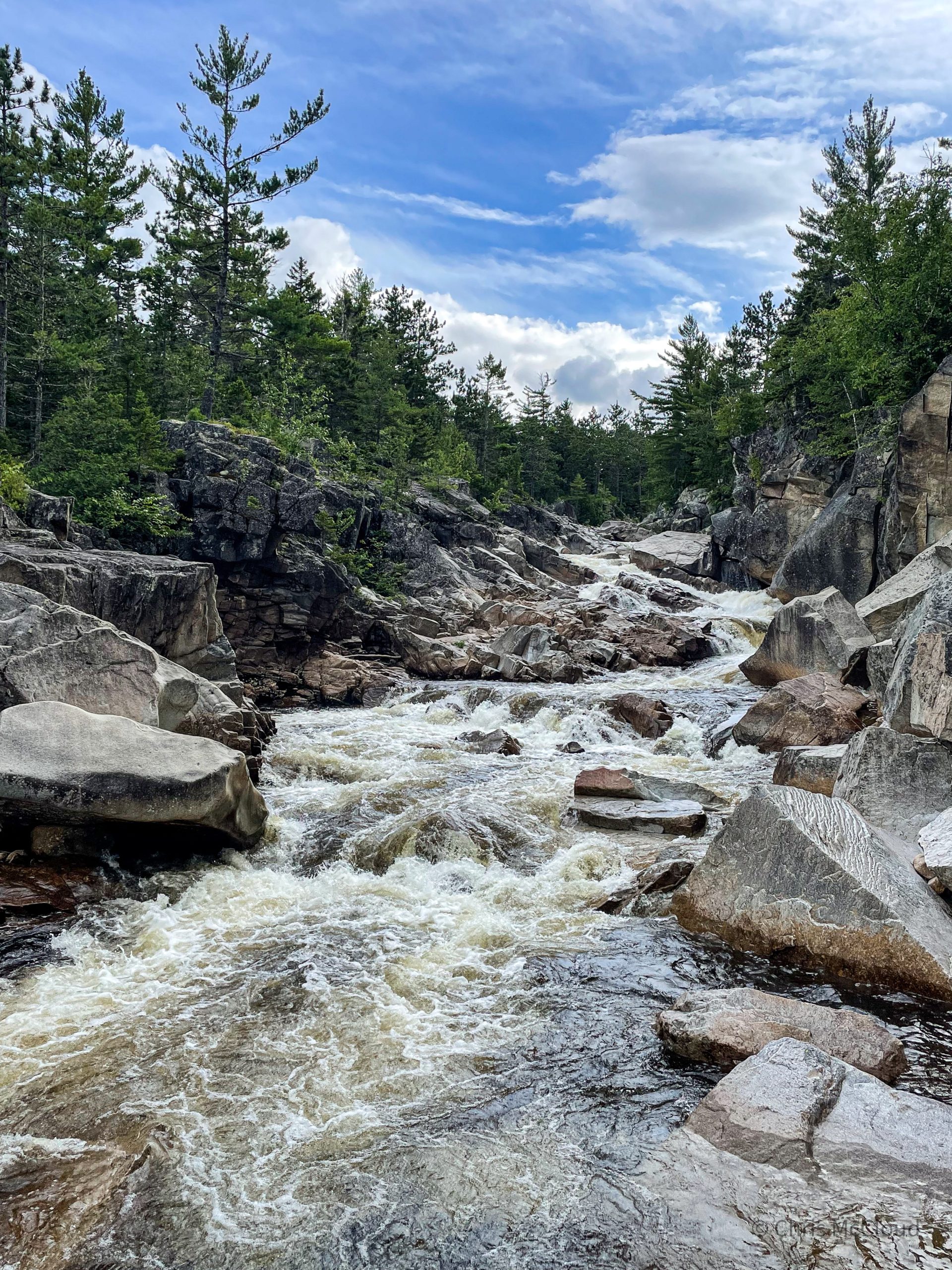
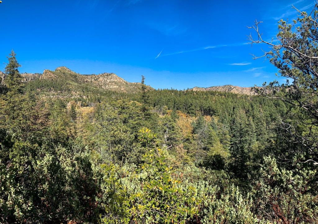
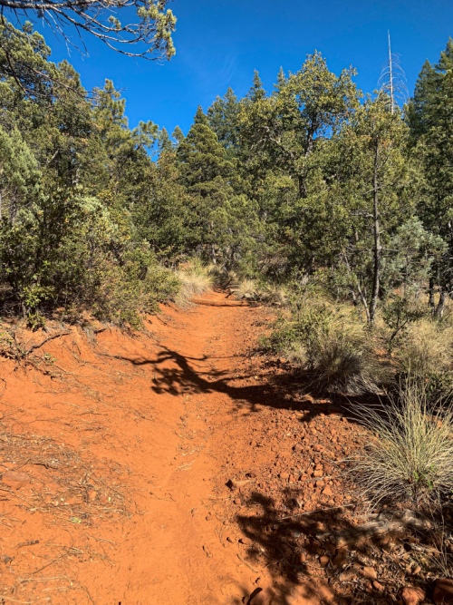
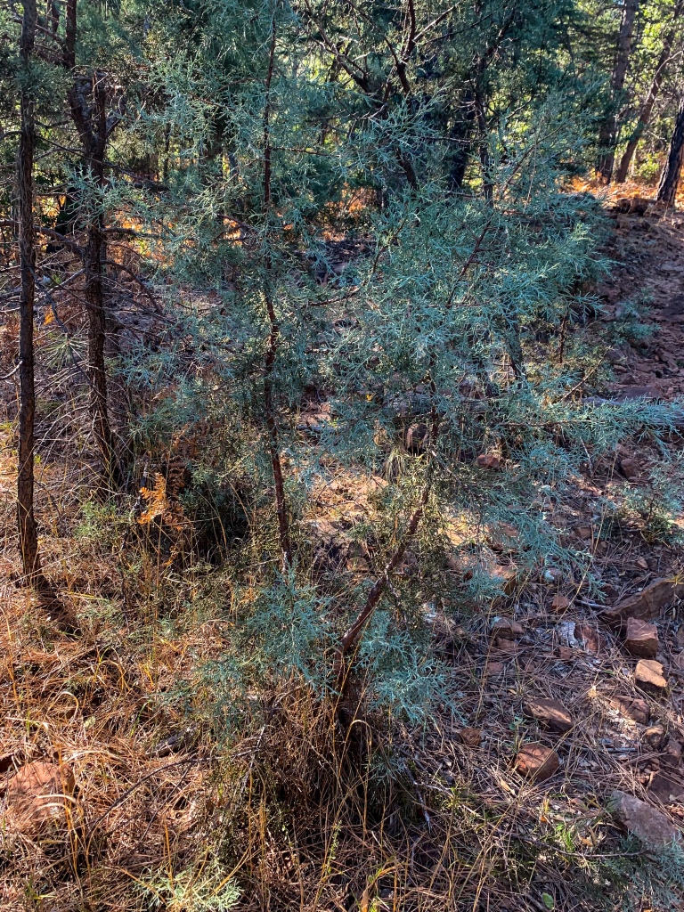
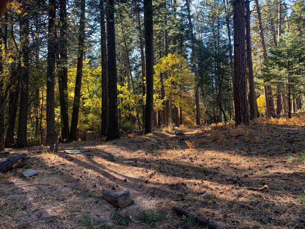
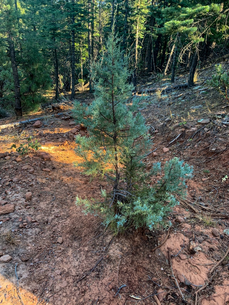
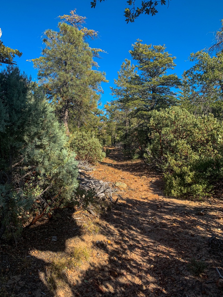
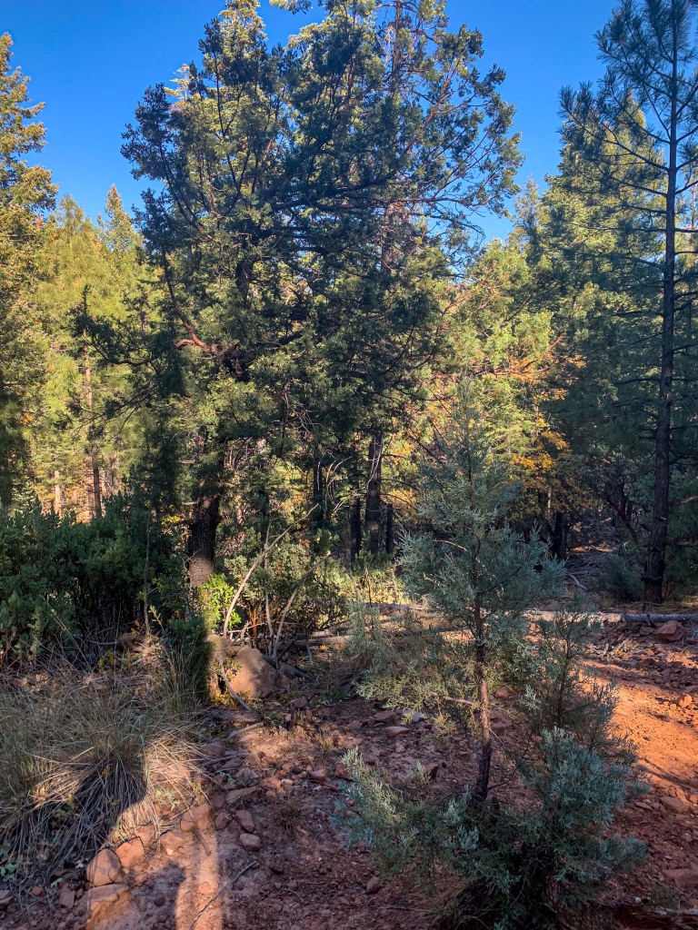
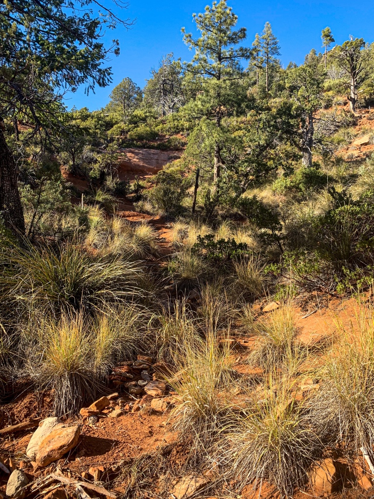
Day 39 on the Arizona Trail continues. At Washington Park, the Arizona Trail joins the Highline National Recreation Trail (the namesake of the AZT passage here.) The trail turns west and begins to roll along the eroded foothills of the Mogollon Rim, with diverse plants that vary depending on aspect (the direction the slope points), elevation, sun angle, and proximity to water, as the trail passes a number of springs and streams that flow off the rim.
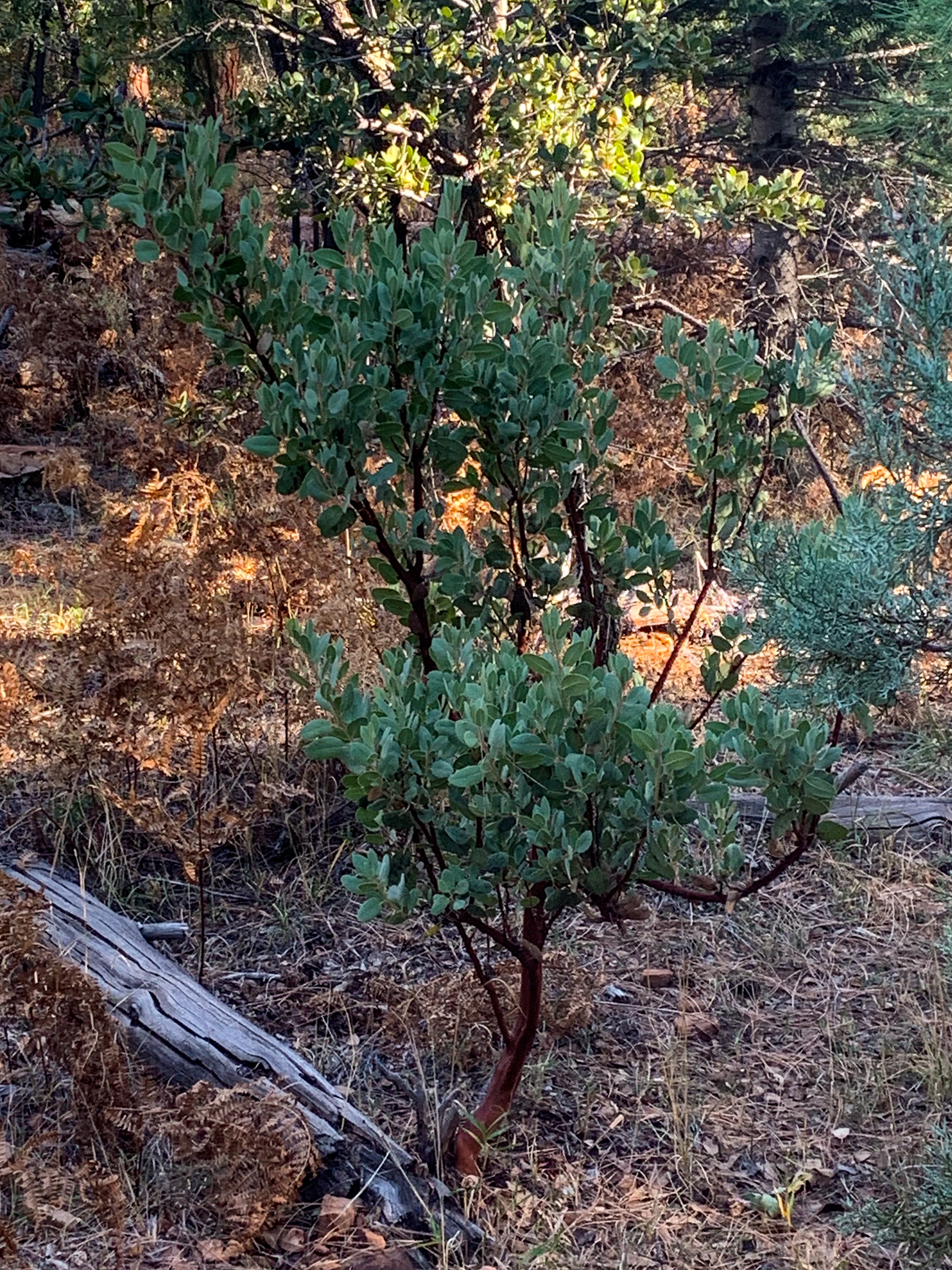
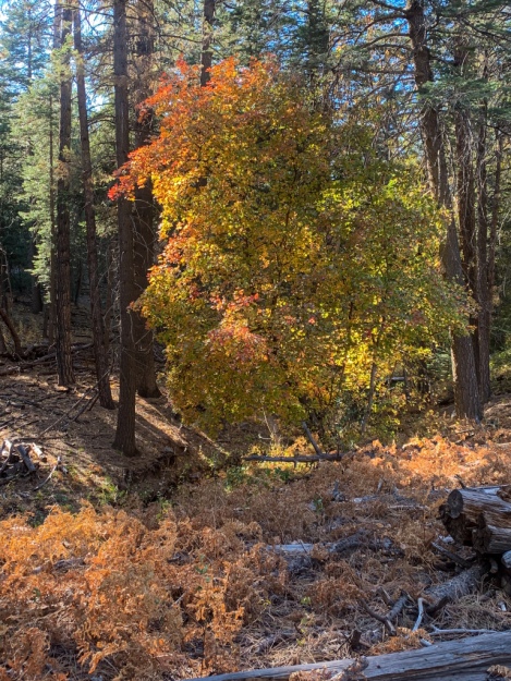
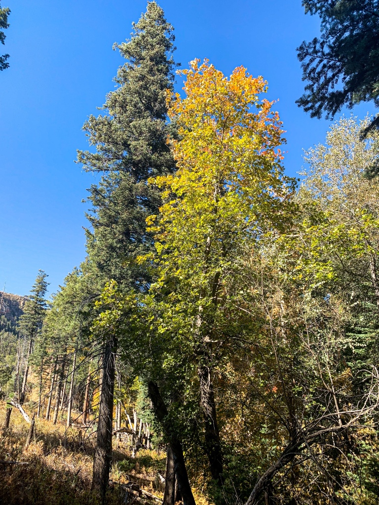
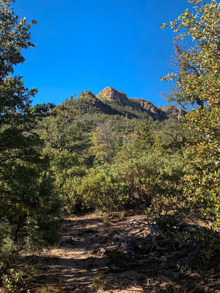
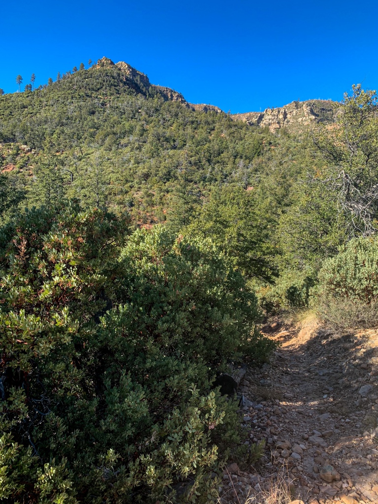
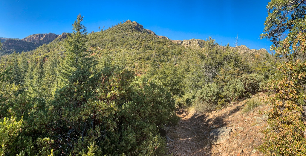
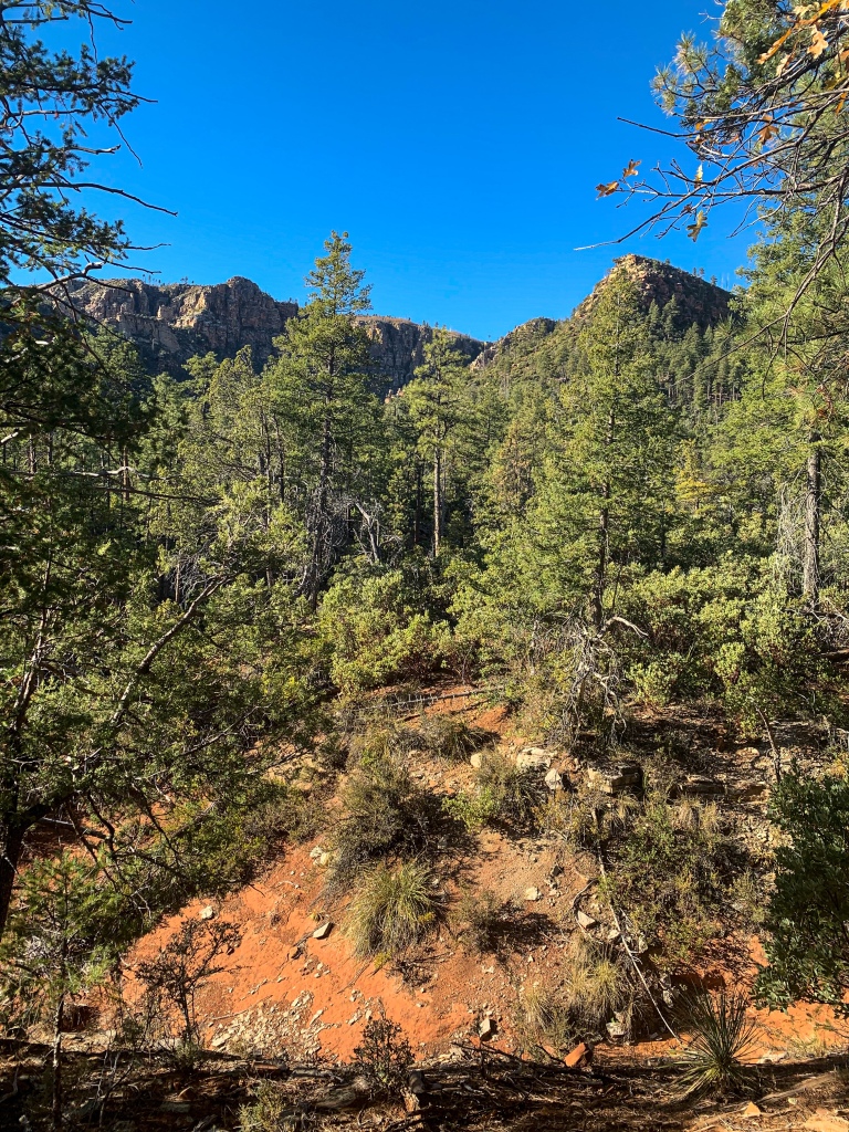
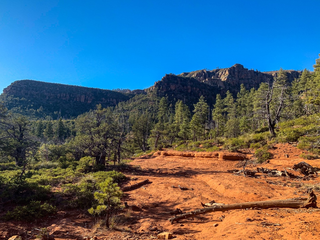
Even seemingly subtle shifts change the species represented. This is quickly becoming one of my favorite passages so far. The diversity of the species encountered, the magnificent views of the Mogollon reminiscent of hiking within Grand Canyon and looking up at the rim, the brilliant red earth contrasting with the blue sky and green plants, and the views off the foothills toward the next major challenge – the Mazatzal Mountains – combine for an incredible experience.

Arizona Trail Passage 27 (Highline)
Tonto National Forest

Arizona Trail Passage 27 (Highline)
Tonto National Forest

Arizona Trail Passage 27 (Highline)
Tonto National Forest
Arizona Trail Passage 27 (Highline)
Tonto National Forest
Arizona Trail Passage 27 (Highline)
Tonto National Forest
Arizona Trail Passage 27 (Highline)
Tonto National Forest
Arizona Trail Passage 27 (Highline)
Tonto National Forest
Arizona Trail Passage 27 (Highline)
Tonto National Forest
Arizona Trail Passage 27 (Highline)
Tonto National Forest

Arizona Trail Passage 27 (Highline)
Tonto National Forest
Arizona Trail Passage 27 (Highline)
Tonto National Forest
Arizona Trail Passage 27 (Highline)
Tonto National Forest

Arizona Trail Passage 27 (Highline)
Tonto National Forest
Arizona Trail Passage 27 (Highline)
Tonto National Forest
Arizona Trail Passage 27 (Highline)
Tonto National Forest
Arizona Trail Passage 27 (Highline)
Tonto National Forest
Arizona Trail Passage 27 (Highline)
Tonto National Forest
Arizona Trail Passage 27 (Highline)
Tonto National Forest

Arizona Trail Passage 27 (Highline)
Tonto National Forest
Arizona Trail Passage 27 (Highline)
Tonto National Forest
Arizona Trail Passage 27 (Highline)
Tonto National Forest
Arizona Trail Passage 27 (Highline)
Tonto National Forest
Arizona Trail Passage 27 (Highline)
Tonto National Forest
Arizona Trail Passage 27 (Highline)
Tonto National Forest

Arizona Trail Passage 27 (Highline)
Tonto National Forest
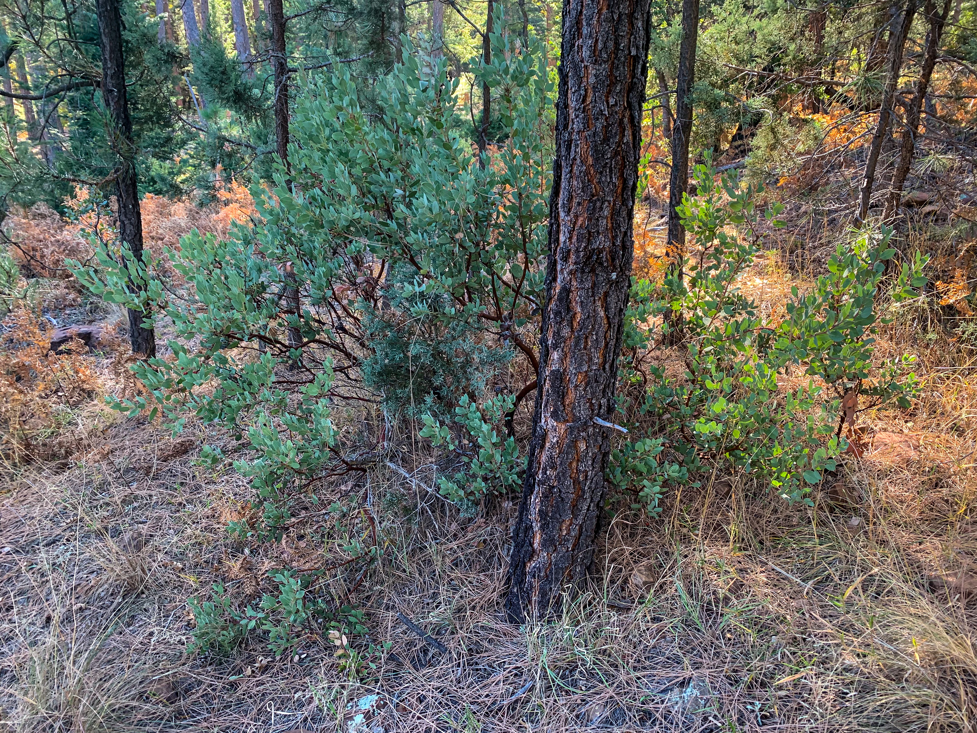
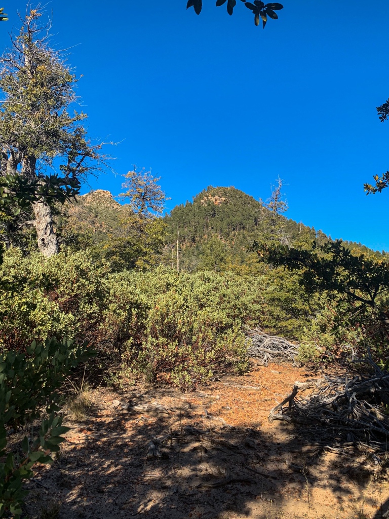
Again, you can see the vegetation change as the slope tilts toward the prevailing sun
Arizona Trail Passage 27 (Highline)
Tonto National Forest
Arizona Trail Passage 27 (Highline)
Tonto National Forest
Arizona Trail: Chase Creek-Bray Creek
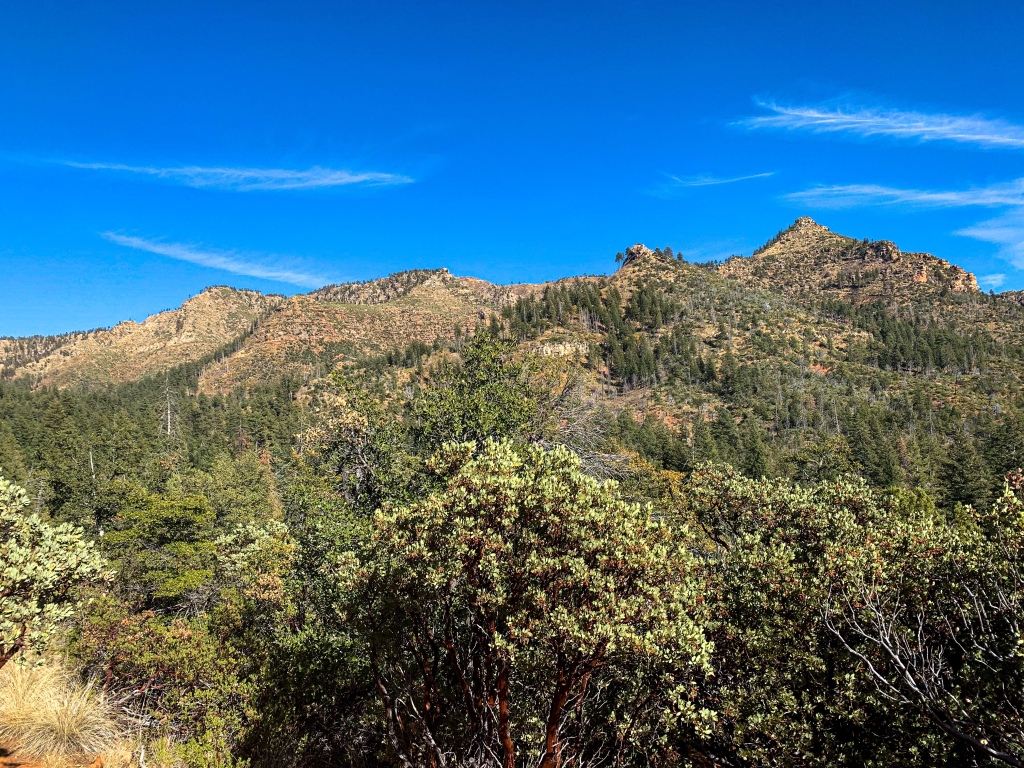
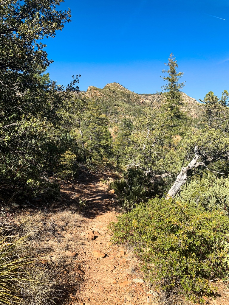
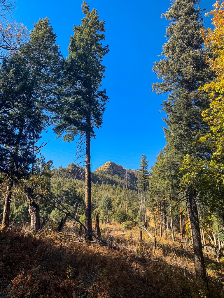
The Arizona Trail continues west toward Pine, curving around parts of the Mogollon Rim that reach out, and segments that sit farther back, rolling across the eroded foothills beneath the parapets that’s tower overhead. The diverse plants continue to amaze. How often do you find blue spruce growing next to agave cactus! As the sun sets I spot a relatively flat camping spot with a good view of sunset and sunrise alike, since the light on the Rim in the golden hours is nothing short of spectacular.

Arizona Trail, Passage 27 (Highline)
Tonto National Forest

Arizona Trail, Passage 27 (Highline)
Tonto National Forest

Arizona Trail, Passage 27 (Highline)
Tonto National Forest

Arizona Trail, Passage 27 (Highline)
Tonto National Forest

Arizona Trail, Passage 27 (Highline)
Tonto National Forest

Arizona Trail, Passage 27 (Highline)
Tonto National Forest

Arizona Trail, Passage 27 (Highline)
Tonto National Forest

Arizona Trail, Passage 27 (Highline)
Tonto National Forest


Arizona Trail, Passage 27 (Highline)
Tonto National Forest

Arizona Trail, Passage 27 (Highline)
Tonto National Forest

Arizona Trail, Passage 27 (Highline)
Tonto National Forest

Arizona Trail, Passage 27 (Highline)
Tonto National Forest

Arizona Trail, Passage 27 (Highline)
Tonto National Forest

Arizona Trail, Passage 27 (Highline)
Tonto National Forest

Arizona Trail, Passage 27 (Highline)
Tonto National Forest

Arizona Trail, Passage 27 (Highline)
Tonto National Forest

Arizona Trail, Passage 27 (Highline)
Tonto National Forest

Arizona Trail, Passage 27 (Highline)
Tonto National Forest

Arizona Trail, Passage 27 (Highline)
Tonto National Forest

Arizona Trail Passage 27 (Highline)
Tonto National Forest

Arizona Trail Passage 27 (Highline)
Tonto National Forest
| Passage 26 (Highline) | |
| Trail Surface | Dirt singletrack |
| Length (Mi) | 20.2 |
| Season | Spring-Fall |
| AZTA Passage Information | Passage 26 (Highline) |
| AZTA Passage Map | Passage 26 (Highline) Map |
| AZTA Elevation Profile | Passage 26 Elevation Profile |
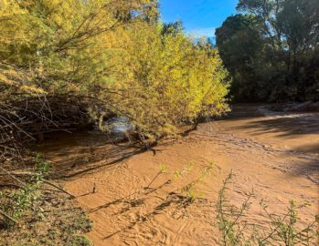
| Potential Water Sources | East Verde River (mi 309.2 SOBO/479.6 NOBO) Creek (mi 311.9 SOBO/476.8 NOBO) Chase Creek (mi 312.6 SOBO/476.1 NOBO) North Sycamore Creek (314.1 SOBO/474.7 NOBO) Bray Creek (mi 315.4 SOBO/473.3 NOBO) Bear Spring (mi 316.8 SOBO/472.0 NOBO) Pine Spring (mi 322.1 SOBO/466.6 NOBO) Red Rock Spring (mi 323.2 SOBO/465.6 NOBO) |
| Trailheads | North: Mogollon Rim (mi 292.1 SOBO, 496.7 NOBO) South: AZ-87 near Pine (mi 328.1 SOBO, 460.6 NOBO) |
| Trailhead Access | North: Graded dirt road South: Paved road |
| Wilderness | No |
| Possible resupply points | Pine |
| Difficulty | Moderate |
| Potential campsites (mileages S to N) | Various LNT-compatible locations throughout |
| Threats | Heat – wear a cotton shirt so you can soak it. Synthetics aren’t great in the desert. Hypothermia – nights are generally about 30°F cooler than days in Arizona regardless of the time of year. Consider this in packing gear. Mornings can be cool year-round. Hyponatremia – “drunk on water.” To avoid, ensure adequate salt & electrolyte intake and ensure you eat as well as drink water. Symptoms are almost identical to dehydration, but drinking more makes it worse. Prevention is by far the best solution. Dehydration Lightning |
| Permits Required? | No |
| Cell service? | Limited |
| Ecosystems traversed | Rocky Mountain Montane Conifer Forest |
| Highlights | Mogollon Rim, southern boundary of Colorado Plateau Fall foliage Ecological diversity Extensive views |
| Weather | Current Passage 26 Weather (NWS) |