Arizona Trail Backpacking: Passage 35, Babbitt Ranch
AZT Day 18
Trans-Arizona/Utah Hike Day 24
In the land of Arizona
Through desert heat or snow
Winds a trail for folks to follow
From Utah to Old Mexico
It’s the Arizona Trail
A pathway through the great Southwest
A diverse track through wood and stone
Your spirit it will test
Oh, sure you’ll sweat and blister
You’ll feel the miles every day
You’ll shiver at the loneliness
Your feet and seat will pay
But you’ll see moonlight on the borderlands
You’ll see stars on the Mogollon
You’ll feel the warmth of winter sun
And be thrilled straight through to bone
The aches and pains will fade away
You’ll feel renewed and whole
You’ll never be the same again
With Arizona in your soul
Along the Arizona Trail
A reverence and peace you’ll know
Through deserts, canyons, and mountains
From Utah to Old Mexico
-“The Arizona Trail,” Dale R. Shewalter
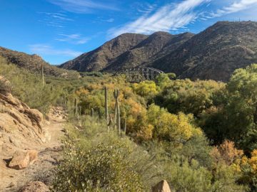
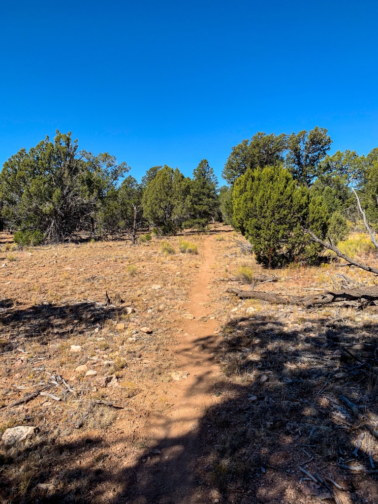
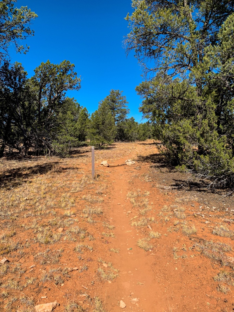
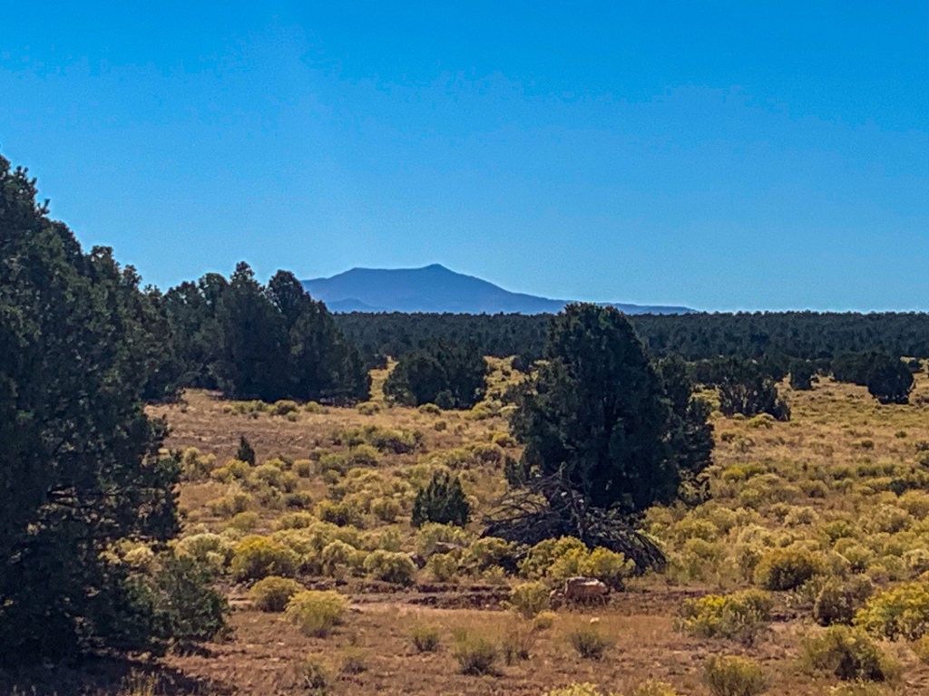
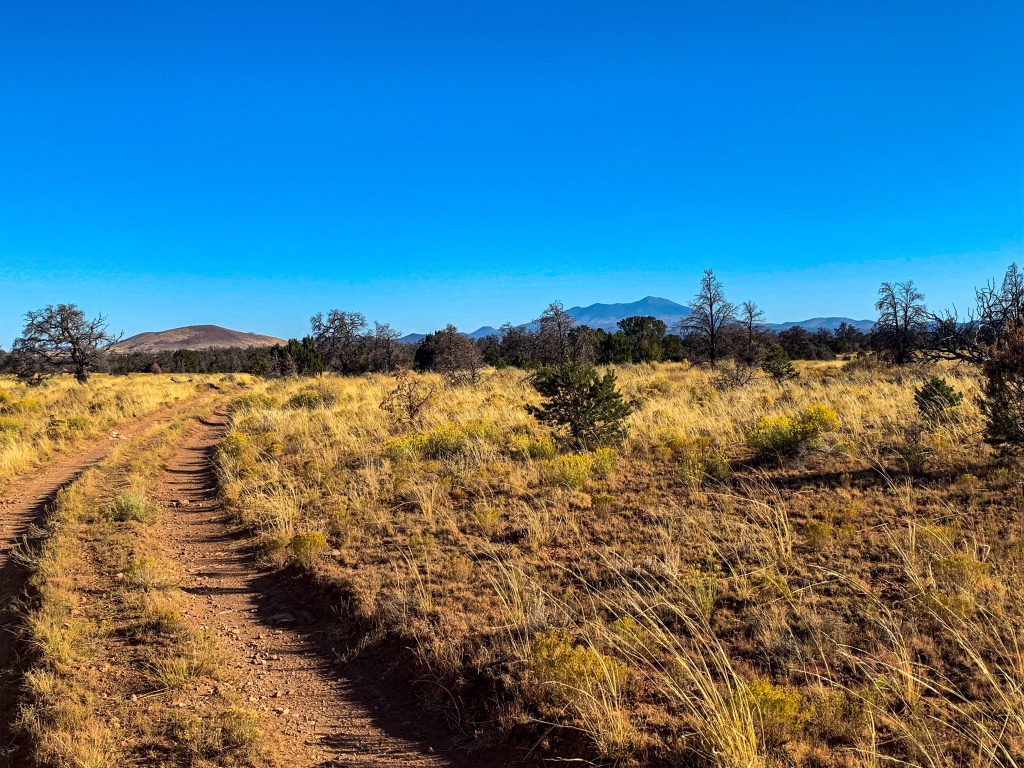
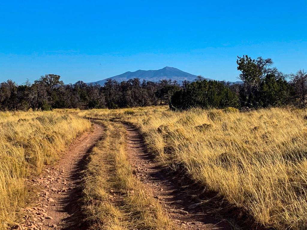
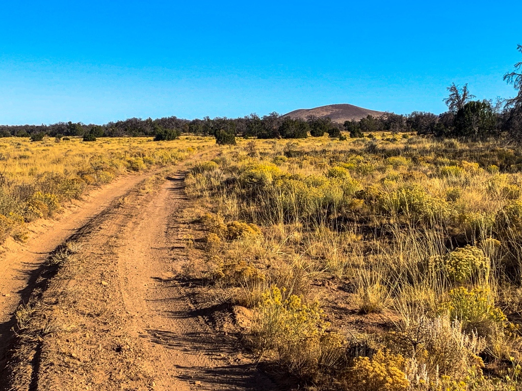
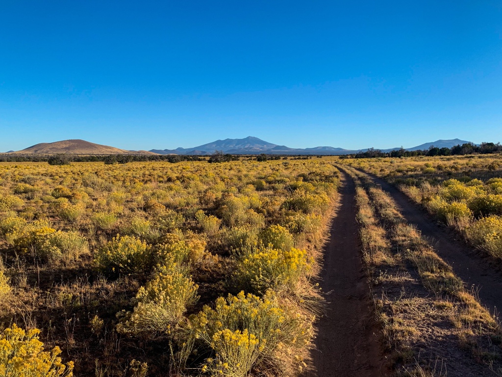
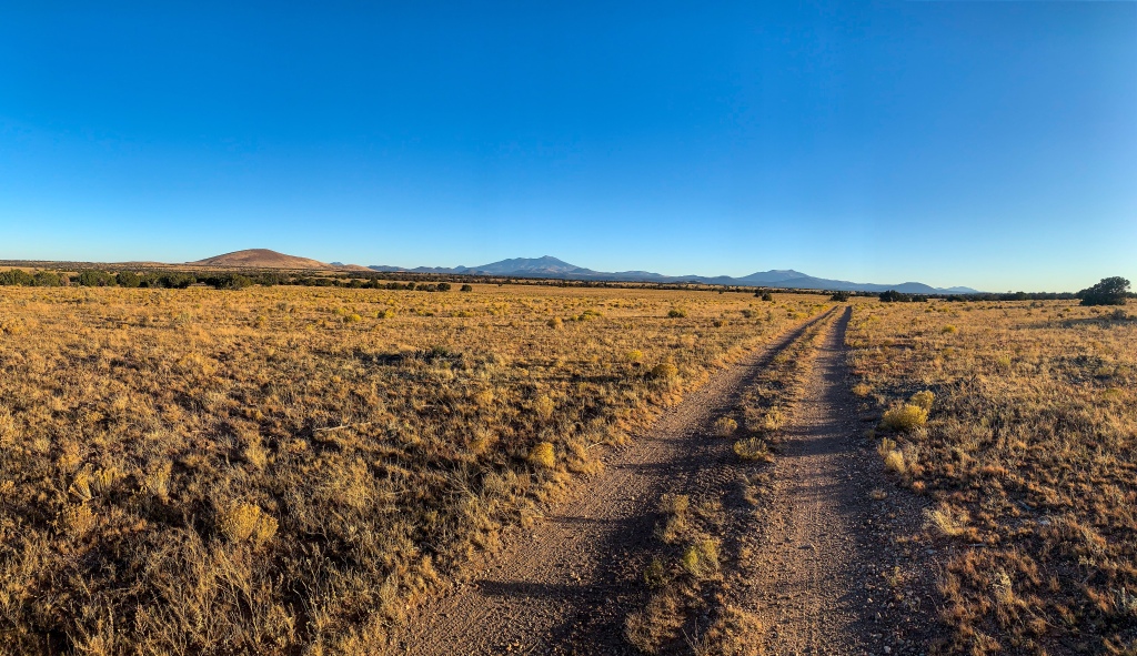
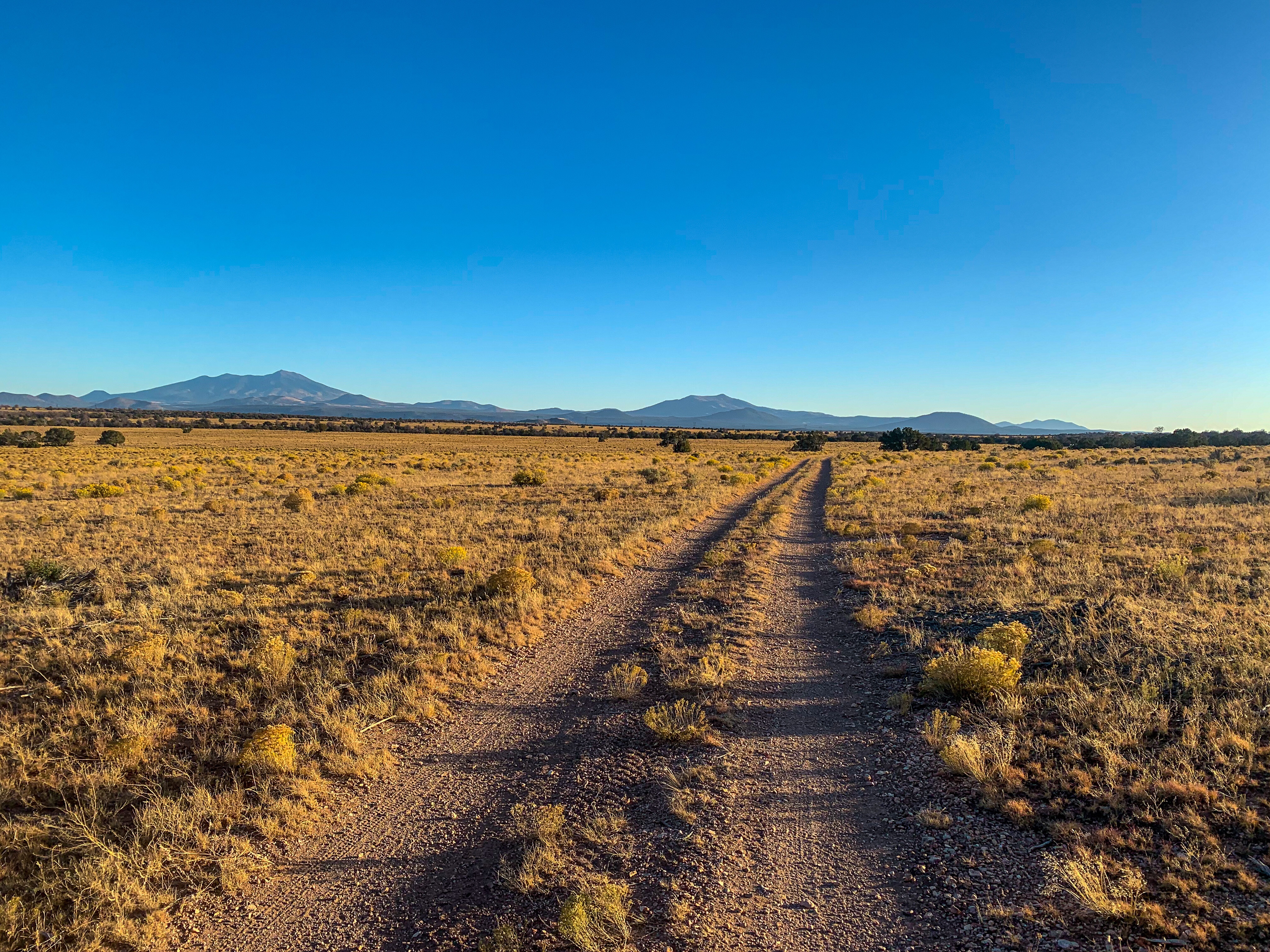
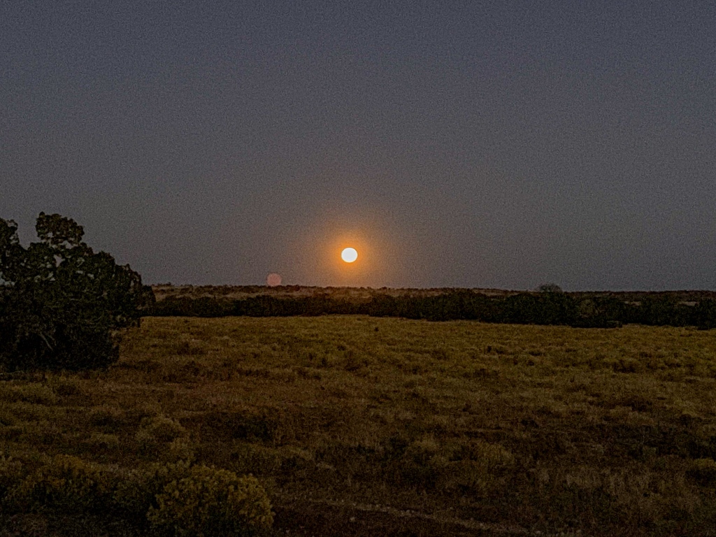
Well, I’ve officially found my least favorite part of the trail so far. The first 5 miles today from Moqui Stage Station to the border of the Kaibab National Forest are nice…and then the views disappear and a long roadwalk down a valley begins where one crosses into the Babbit Ranch Passage (Passage 35). The views disappear until after Upper Lockwood Tank. From there it gets marginally better with nice views of the Peaks returning, but with a full moon I choose to hike a few extra hours at night to cut down on tomorrow’s distance on this passage. I meet Coyote, another sobo thru-hiker, on the trail twice today, first just after breakfast and again and he tells me about seeing some coyotes and a mountain lion fight over an elk that he saw that morning. Very cool wildlife encounter, maybe I’ll get to see something like that?
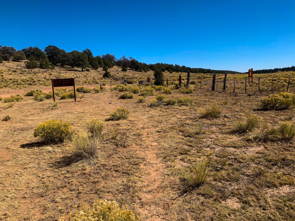
AZT Passage 35, Babbitt Ranch
Kaibab National Forest
AZT Passage 35, Babbitt Ranch
Kaibab National Forest
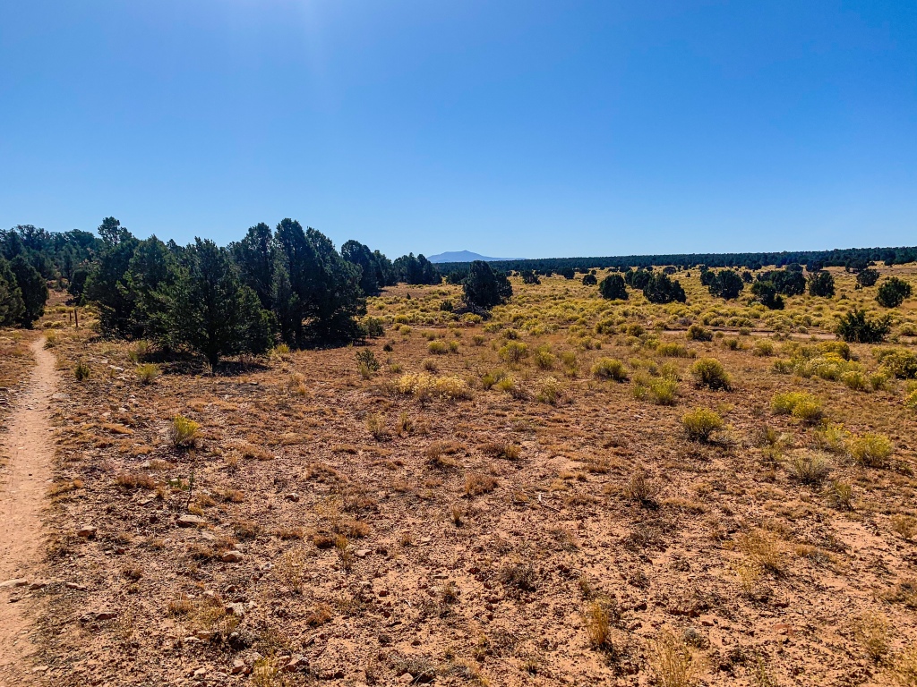
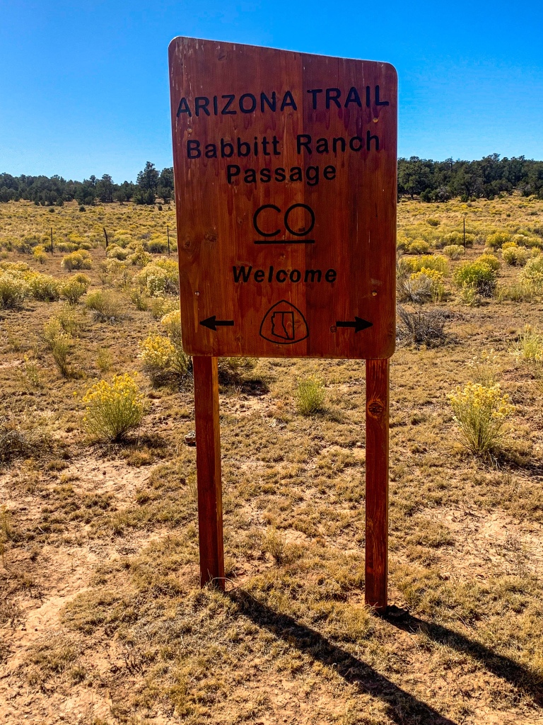
Arizona Trail Passage 35 (Babbitt Ranch)
Kaibab National Forest
Arizona Trail Passage 35 (Babbitt Ranch)
Kaibab National Forest
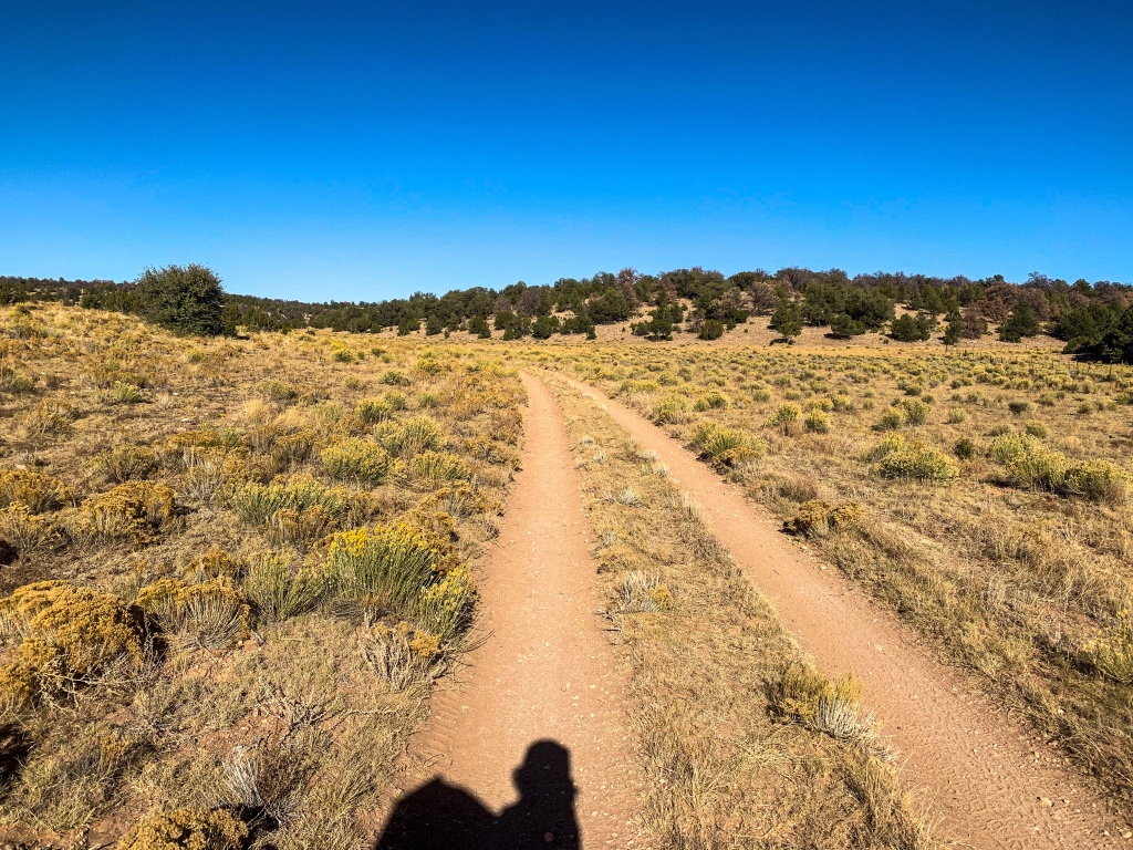
AZT Passage 35 (Babbitt Ranch)
Kaibab National Forest
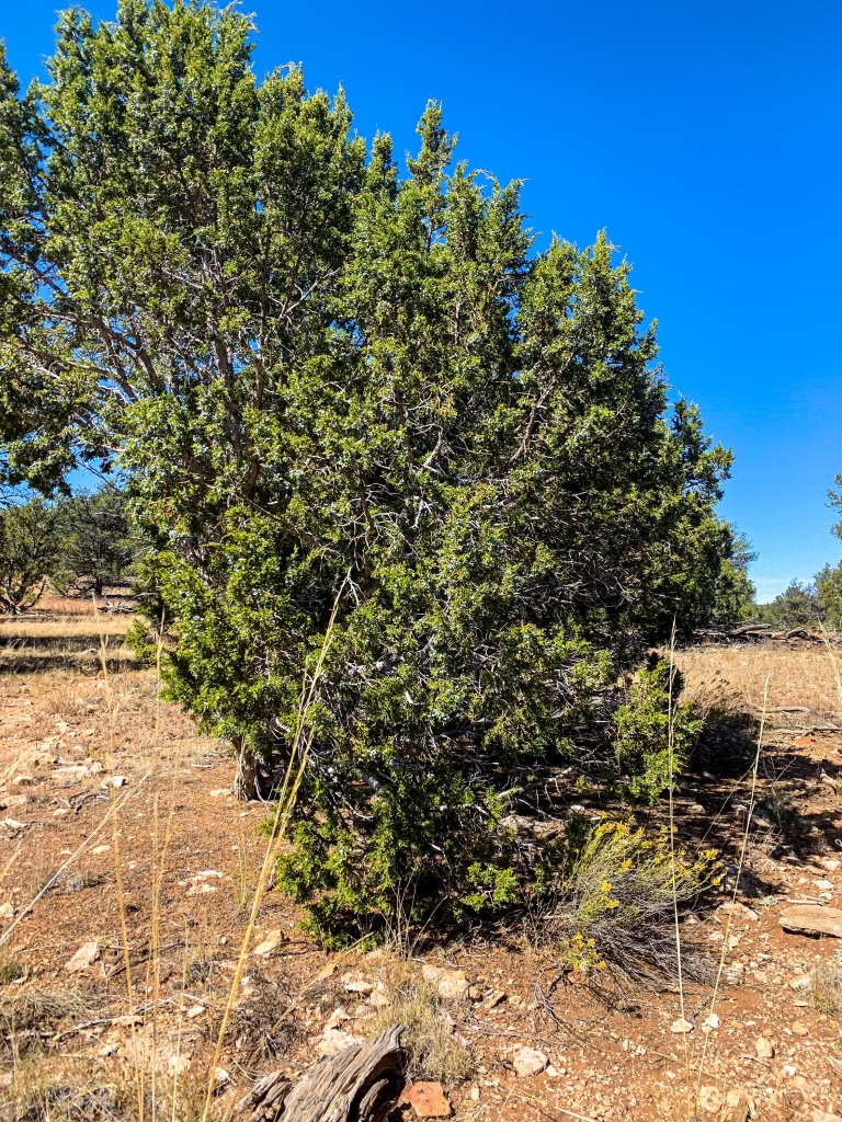
Arizona Trail Passage 35, Babbitt Ranch.
Arizona Trail Passage 35 (Babbitt Ranch)
Water along this stretch of trail is pretty limited. There was a cache at Moqui Stage Station and a tank that is open to hikers to use at Tub Ranch. Other than that, its hot, dry, and exposed. The only access point passed today was Moqui Stage Station off FR-301 at the start.
AZT Passage 35 (Babbitt Ranch)
Arizona Trail Passage 35 (Babbitt Ranch)
Arizona Trail Passage 35 (Babbitt Ranch)
Arizona Trail Passage 35 (Babbitt Ranch).

Arizona Trail Passage 35 (Babbitt Ranch).
Arizona Trail Passage 35 (Babbitt Ranch).
Arizona Trail, Passage 35 (Babbitt Ranch)
| Passage 35 (Babbitt Ranch) | |
| Length | 24.5 miles |
| Trail Surface | Mostly dirt/unimproved roads |
| Passage Topo Map | Passage 35 (Babbitt Ranch) Topo Map |
| Season | Spring-Fall |
| Potential Water Sources | Moqui Stage Station (potential caches, no natural source) Tub Ranch water tank Cedar Ranch (supply box) For full current AZTA monitored water report: AZT Water Sources |
| Trailheads | Moqui Stage Station (accessed via FR-301 in the Kaibab National Forest) Cedar Ranch |
| ATA-Rated Difficulty | Easy/Moderate |
| Hazards | Water availability Elevation Direct sun (summer) |
| Highlights | Views of the San Francisco Peaks |
| Passage Description | Passage 35 (Babbitt Ranch) |
| Current Weather | Passage 35 Weather |
For my other entries on hiking the AZT in Grand Canyon, check out the following:
Amazing, Stunning Arizona Trail: Grand Canyon North Rim-Roaring Springs – Aspen’s Tracks (aspenstracks.com)
Amazing, Spectacular Arizona Trail: Grand Canyon, Roaring Springs-Ribbon Falls – (aspenstracks.com),
https://aspenstracks.com/arizona-trail-day-8-grand-canyon-ribbon-falls-to-bright-angel-campground/
Amazing, Spectacular Arizona Trail – Bright Angel CG (Colorado River)-South Rim – (aspenstracks.com)
For the National Park Service official advice on day hiking and backpacking below the rim at Grand Canyon, including on the AZT, check out the following:
Introduction to Backcountry Hiking (nps.gov)
Day Hiking – Grand Canyon National Park (U.S. National Park Service) (nps.gov)