Arizona Trail Backpacking – Passage 38, Grand Canyon Inner Gorge (North Kaibab Trail section, Rim to Rim)
AZT Day 8, Part 2
Trans-Arizona/Utah Day 15, Part 2
In the land of Arizona
Through desert heat or snow
Winds a trail for folks to follow
From Utah to Old Mexico
It’s the Arizona Trail
A pathway through the great Southwest
A diverse track through wood and stone
Your spirit it will test
Oh, sure you’ll sweat and blister
You’ll feel the miles every day
You’ll shiver at the loneliness
Your feet and seat will pay
But you’ll see moonlight on the borderlands
You’ll see stars on the Mogollon
You’ll feel the warmth of winter sun
And be thrilled straight through to bone
The aches and pains will fade away
You’ll feel renewed and whole
You’ll never be the same again
With Arizona in your soul
Along the Arizona Trail
A reverence and peace you’ll know
Through deserts, canyons, and mountains
From Utah to Old Mexico
-“The Arizona Trail,” Dale R. Shewalter
Grand Canyon: Roaring Springs-Ribbon Falls
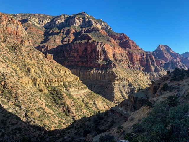
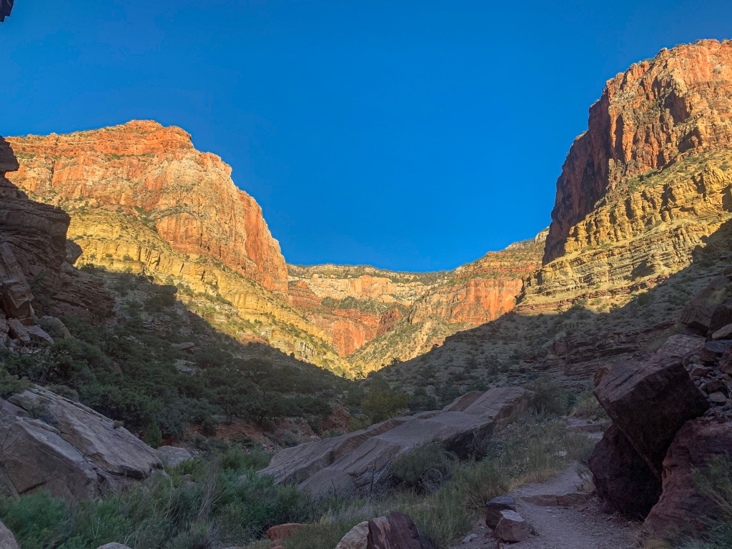
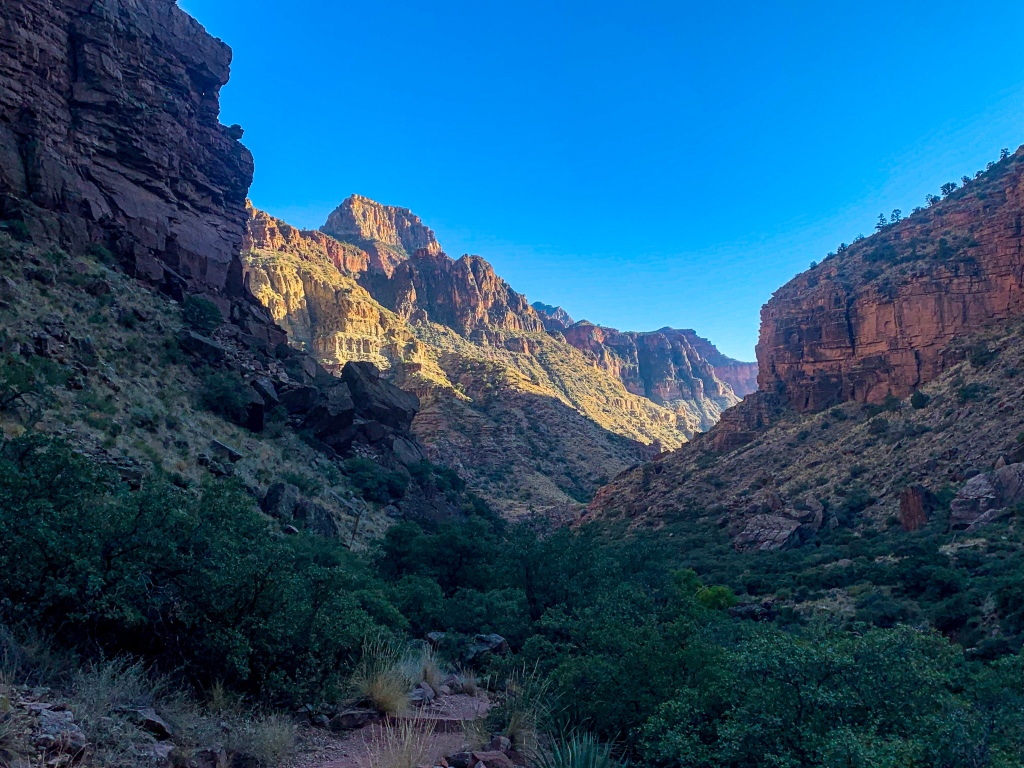
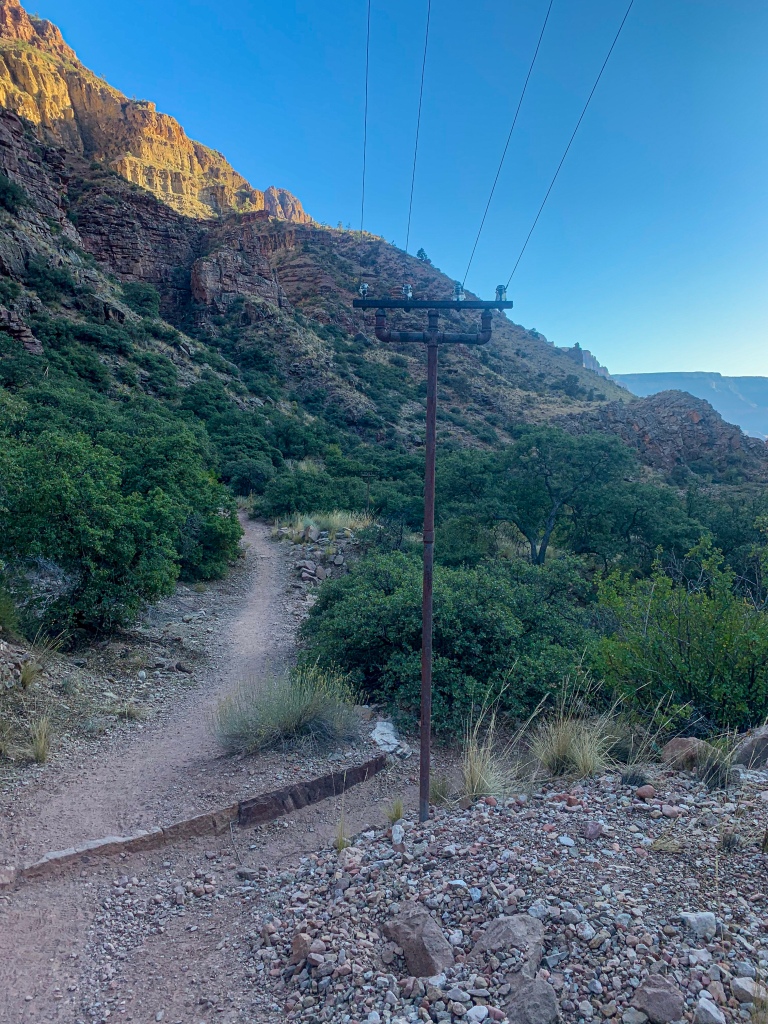
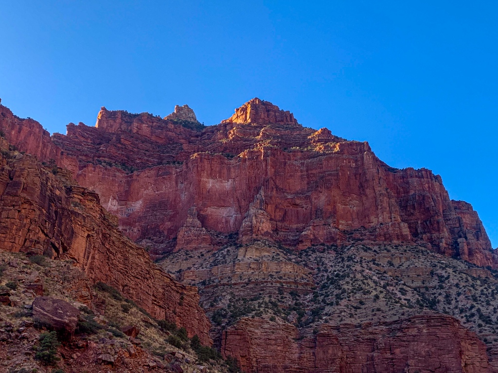
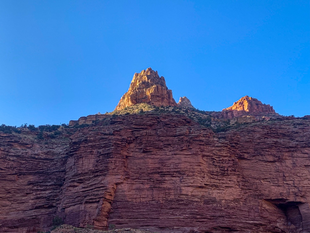
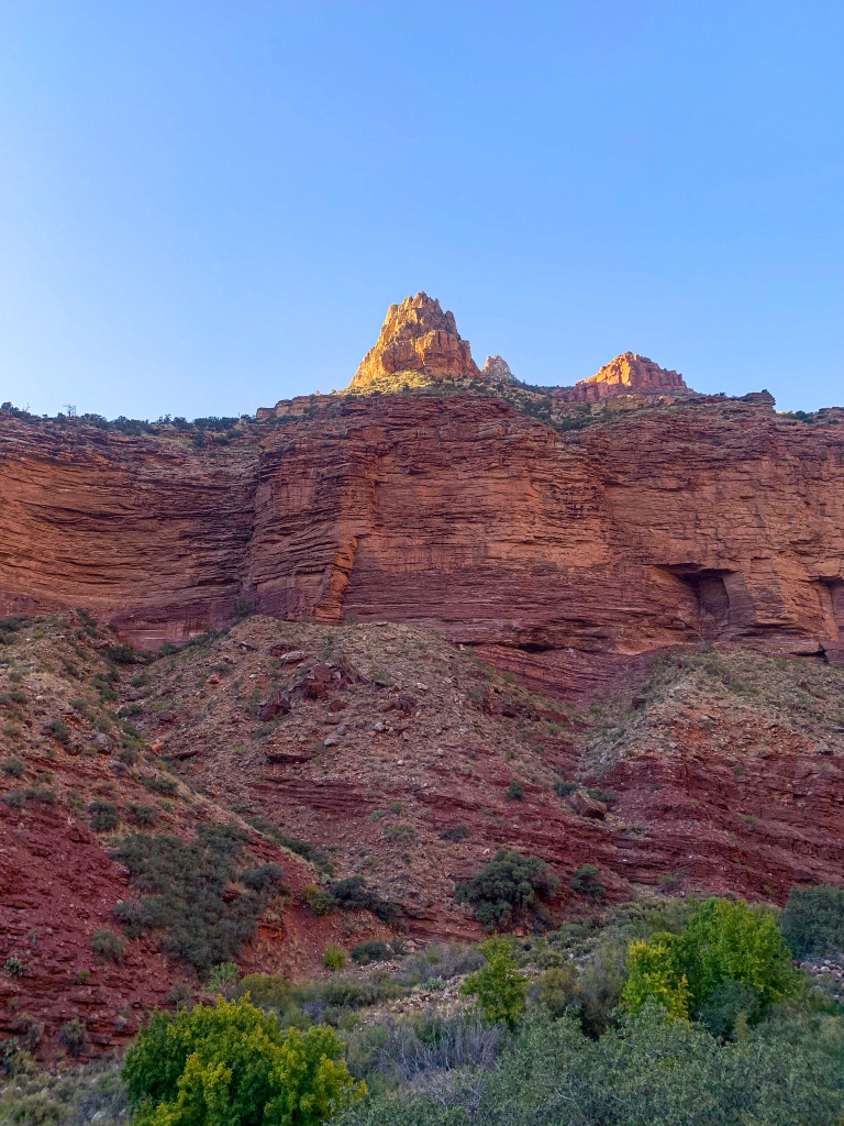
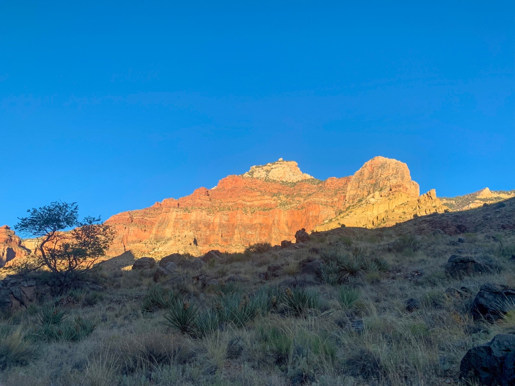
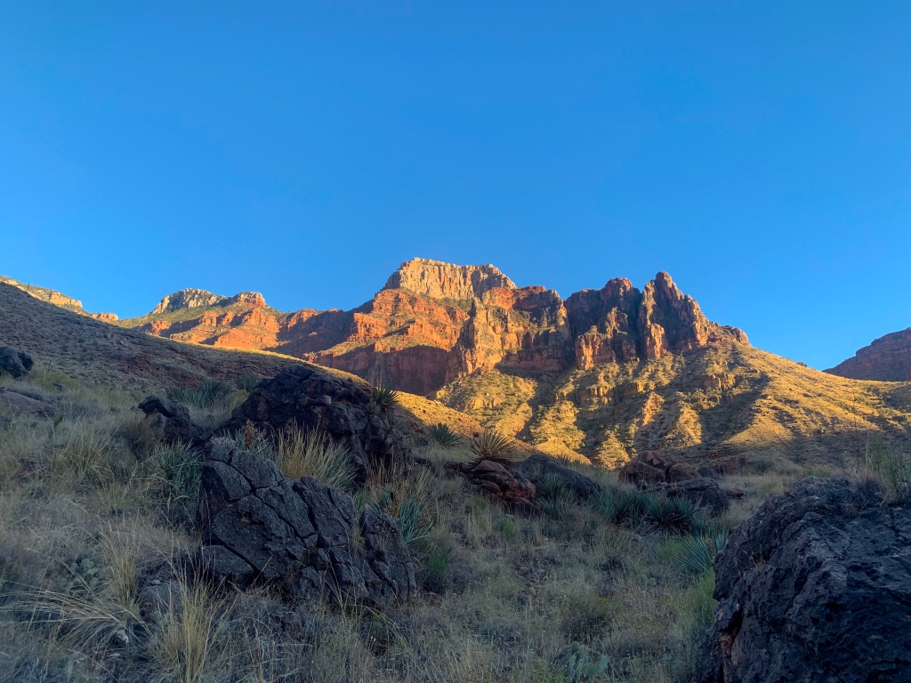
The trail continues through the Muav Limestone to Roaring Springs at the border with the Bright Angel Shale, the source of all of the drinking water for Grand Canyon National Park. The water from the springs is pumped to the North Rim and flows by gravity to Indian Gardens on the South Rim before being pumped to the rim itself from there. Entering Bright Angel Canyon, it crosses Bright Angel Creek at Manzanita Rest Area and proceeds to Cottonwood Campground, where I stayed in May hiking to and from the North Rim, partially in preparation for this hike.
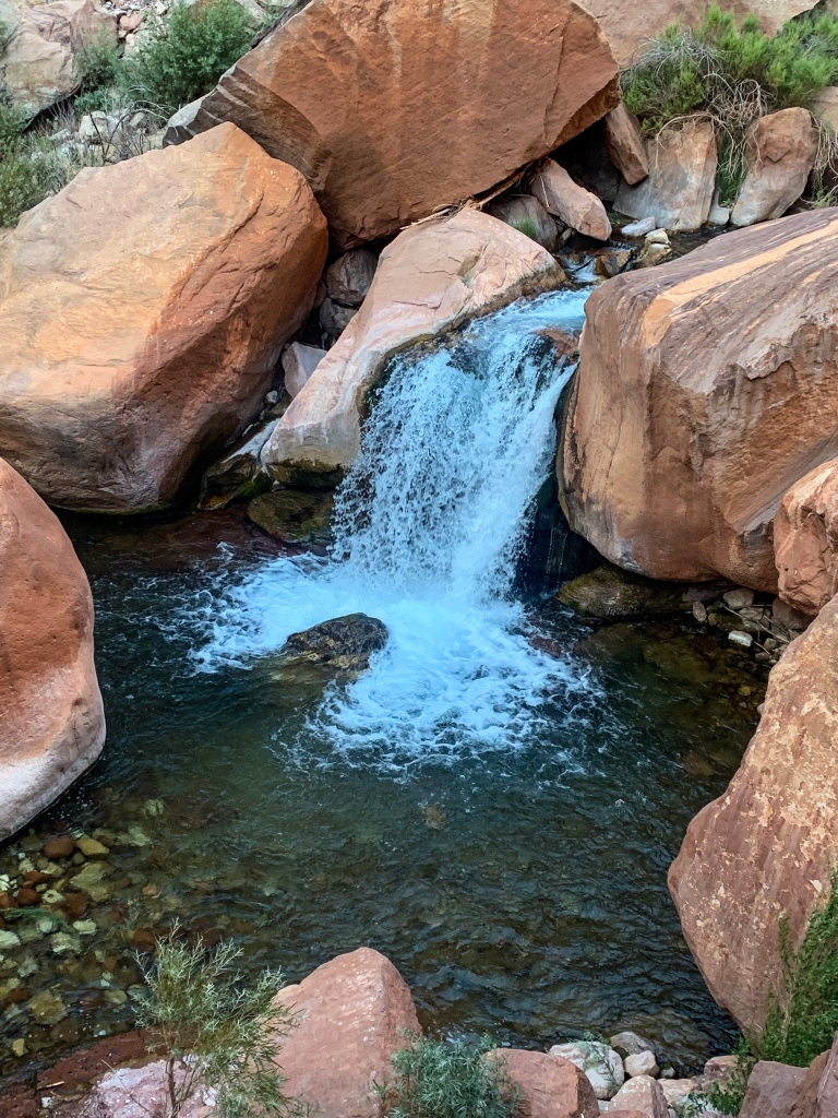
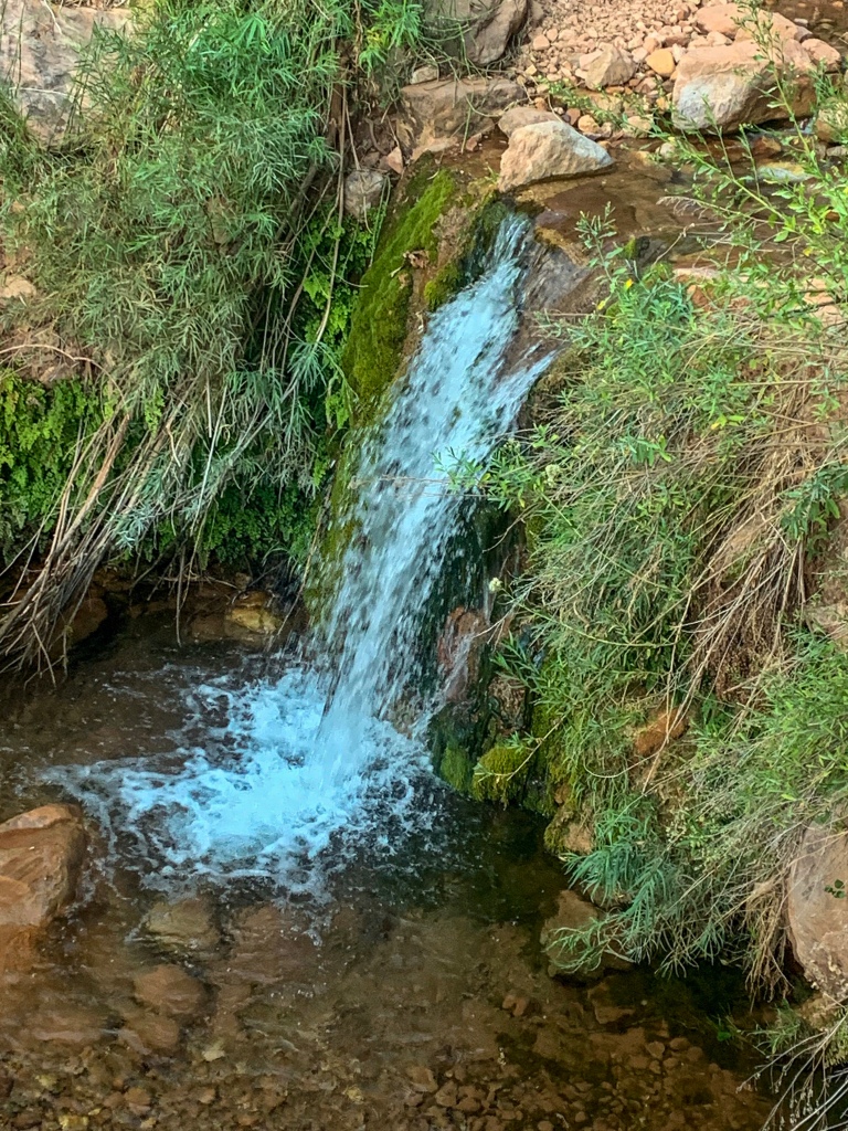
The trail flattens out around Cottonwood, halfway from the North Rim to the Colorado River and Bright Angel Campground. The bridge to Ribbon Falls is out, but I’m able to ford the creek – something that was not possible the last time that I hiked this trail, during the spring runoff. I’m able to identify a trail that leads to the falls and make it over to see them briefly before making it back to the main trail and continuing toward the River.
Arizona Trail, Passage 38 (Grand Canyon, Inner Canyon)
Grand Canyon National Park

Arizona Trail, Passage 38 (Grand Canyon, Inner Canyon)
Grand Canyon National Park
Arizona Trail, Passage 38 (Grand Canyon, Inner Canyon)
Grand Canyon National Park
Arizona Trail, Passage 38 (Grand Canyon, Inner Canyon)
Grand Canyon National Park
Arizona Trail, Passage 38 (Grand Canyon, Inner Canyon)
Grand Canyon National Park
Arizona Trail, Passage 38 (Grand Canyon, Inner Canyon)
Grand Canyon National Park
Grand Canyon Geology
Grand Canyon National Park is a geologist’s dream. The rock exposed in Grand Canyon stretches back 1.8 billion years and includes primarily alternating periods of ocean coverage and desert. From youngest to oldest, the layers are as follows:
Kaibab Limestone
The youngest of the currently existent layers in Grand Canyon; a resistant, cliff-forming layer that is known for its rich marine fossil deposits due to its marine origins when the area lay under the eastern Pacific Ocean.
Toroweap Formation
A thin, sloping layer, signifying additionally prone to erosion. Composed of gypsum & shale with additional sandstone. The Toroweap was deposited by a combination of shallow sea environments and coastal dunes.
Coconino Sandstone
Thick cliffs formed by the largest desert represented in any Canyon layer. The Coconino is one of the most difficult layers to hike through due to the grade of the trails required to traverse its steep, thick cliffs. Evidence of wind-blown sand can be seen and felt in the layer today.
Hermit Shale
A sloping formation that frequently has poorly preserved plant fossils. Dark red due to the iron present in the rock.
Supai Group
A distinctive red layer rich in iron, as is the Hermit Shale. The Supai Group contains a mixture of slopes and cliffs. It’s perhaps most famous for its occurrence in Sedona, including Oak Creek Canyon. Formed in an environment similar to the Gulf Coast today.
Redwall Limestone
A thick layer of exceptionally pure, cliff forming limestone. Though it appears red, the natural color is whitish grey. The red color comes from minerals in layers above, carried down by melting snow & rain and staining the surface. As with the Coconino Sandstone, this is one of the most difficult layers to hike through due to its thickness.
Muav Limestone
A whitish layer of cliff-forming limestones beneath the Redwall. Several of the most spectacular Canyon waterfalls, including Roaring Springs and Thunder River, originate in the Muav.
Bright Angel Shale
A greenish-tinted sloping layer beneath the two limestones. The distinctive green color comes from trilobite excrement; so many trilobites were present in the swampy landscape at the time that they managed to stain the entire layer.
Tapeats Sandstone
A thick sandstone layer representing another desert landscape. While archeological sites can be found throughout the Canyon, the Tapeats cliffs can often be a particularly good spot to encounter them.
Vishnu Basement Rocks
Zoroaster Granite
Pink granitic igneous intrusions into the Vishnu Schist. An example of the influence of Clarence Dutton on the naming of Grand Canyon sites – he named many features in the canyon after Hindu and Egyptian deities.
Vishnu Schist
The oldest rock in the central Canyon, though not the oldest in the entire Canyon (that honor goes to the Elves Chasm gneiss). The Schist is an exceptionally erosion-resistant layer that currently represents the bottom of the canyon. Due to a combination of its resistance to erosion, a reduction in flow, and the impacts that Glen Canyon Dam has had on the Colorado River, the Canyon only deepens by about the thickness of a sheet of paper each year today.
The horizontally deposited layers were uplifted unusually regularly to form the Colorado Plateau, after which point, following the rise of the Rocky Mountains, the Colorado River began cutting through the rock to form the canyon. Using the strength of seasonal floods carrying boulders the size of cars and the continuous action of sediment suspended in the water wearing away at the riverbed and cutting down, the river cut into the plateau to form the main canyon, while the same process occurred on smaller scales on both rims, typically along fault lines, to form tributary canyons and the landscape we see today.
The North Rim, being higher, gets more snow and rain, and therefore has experienced more erosion and contributes more to the width of the canyon than the South Rim does. While the canyon’s depth is increasing only marginally today, the processes expanding it’s width are unaffected and continue to widen the canyon today.
Grand Canyon History
Many people ask how the Canyon subsequently formed. It’s not the deepest Canyon in the world (that would be Tsangpo Canyon in Tibet, China), or even in the US (that’s Hells Canyon on the Oregon/Idaho border). But it is still an incredibly unique landscape. And for many years it’s formation was a mystery, rather like the source of the Nile, another desert river. A major point of confusion was the fact that many side canyons point opposite to the flow of the River today – something that normally shouldn’t happen, since rivers flow downhill.
I can go into some of the deeper theories behind this separately, but suffice to say that today this is largely believed to be mostly a product of the changing gradients of the land. Yet, both they and the main river demonstrate the process that formed the canyon – particularly on the side canyons today. Runoff from snowmelt and storms carries debris into streams and the Colorado, which is only added to by the steep and prolonged gradient of the river through the canyon. Rubbing against the waterbeds like sandpaper, the waterborne debris carves the canyon ever deeper.
Compare the gradient of the Colorado in the canyon at 7 ft/mi to that of the Mississippi (6 in/mi) and you’ll see why there’s no Grand Canyon on the Mississippi. Areas with faults, such as Bright Angel Canyon, which the North Kaibab & Bright Angel Trails run and the widest point of the canyon, are particularly susceptible to erosion since they are naturally weak points in the rock. Since the North Rim gets about twice as much precipitation as the south, about twice as much erosion takes place there – this is why the North Kaibab Trail is about 2x as long as either of the two main South Rim trails.
Of final particular note – in hiking across the Grand Canyon, one completes an ecological hike that is the equivalent of traveling from Mexico (at the bottom) to Canada.
Arizona Trail, Passage 38 (Grand Canyon, Inner Canyon)
Grand Canyon National Park
Arizona Trail, Passage 38 (Grand Canyon, Inner Canyon)
Grand Canyon National Park
Arizona Trail, Passage 38 (Grand Canyon, Inner Canyon)
Grand Canyon National Park
Arizona Trail, Passage 38 (Grand Canyon, Inner Canyon)
Grand Canyon National Park

Arizona Trail, Passage 38 (Grand Canyon, Inner Canyon)
Grand Canyon National Park

Arizona Trail, Passage 38 (Grand Canyon, Inner Canyon)
Grand Canyon National Park
Arizona Trail, Passage 38 (Grand Canyon, Inner Canyon)
Grand Canyon National Park
Arizona Trail, Passage 38 (Grand Canyon, Inner Canyon)
Grand Canyon National Park
Arizona Trail, Passage 38 (Grand Canyon, Inner Canyon)
Grand Canyon National Park

Arizona Trail, Passage 38 (Grand Canyon, Inner Canyon)
Grand Canyon National Park

Arizona Trail, Passage 38 (Grand Canyon, Inner Canyon)
Grand Canyon National Park
For my other entries on hiking the AZT in Grand Canyon, check out the following:
Amazing, Stunning Arizona Trail: Grand Canyon North Rim-Roaring Springs – Aspen’s Tracks (aspenstracks.com)
Amazing, Spectacular Arizona Trail: Grand Canyon, Roaring Springs-Ribbon Falls – (aspenstracks.com),
https://aspenstracks.com/arizona-trail-day-8-grand-canyon-ribbon-falls-to-bright-angel-campground/
Amazing, Spectacular Arizona Trail – Bright Angel CG (Colorado River)-South Rim – (aspenstracks.com)
For the National Park Service official advice on day hiking and backpacking below the rim at Grand Canyon, including on the AZT, check out the following:
Introduction to Backcountry Hiking (nps.gov)
Day Hiking – Grand Canyon National Park (U.S. National Park Service) (nps.gov)
Grand Canyon (North Kaibab Trail)-Arizona Trail Passage Logistics & Ecology
| Passage 38 (Grand Canyon Inner Canyon, North Kaibab Trail & South Kaibab Trail) | |
| Trail Surface | Dirt singletrack |
| Length (Mi) | 21.4 |
| Season | Fall-Spring (September-April). No vehicular access to North Kaibab Trailhead December-April. Feet of snow above Supai Tunnel on the North Kaibab Trail in winter. |
| Potential Water Sources | North Kaibab trailhead Supai Tunnel Roaring Springs Manzanita Resthouse Bright Angel Creek Cottonwood Campground Phantom Ranch Bright Angel Campground |
| Trailheads | North: North Kaibab Trailhead South: South Kaibab Trailhead (Yaki Point) |
| Trailhead Access | North: Vehicular Access (paved) South: Foot and shuttle access |
| Wilderness | Yes |
| Possible resupply points | Grand Canyon North Rim Phantom Ranch Grand Canyon Village |
| ATA-Rated Difficulty | Strenuous |
| Potential campsites (mileages S to N) | Grand Canyon North Rim Campground Cottonwood Campground Bright Angel Campground Indian Garden Campground (slight detour required) Mather Campground Note: All camping within Grand Canyon National Park must take place in designated campsites. Walk-in reservations are available for AZT thruhikers. |
| Ecosystems Traversed | Great Basin Subalpine Conifer Forest Rocky Mountain Montane Conifer Forest Great Basin Desert Scrub Mojave Desert Scrub Riparian |
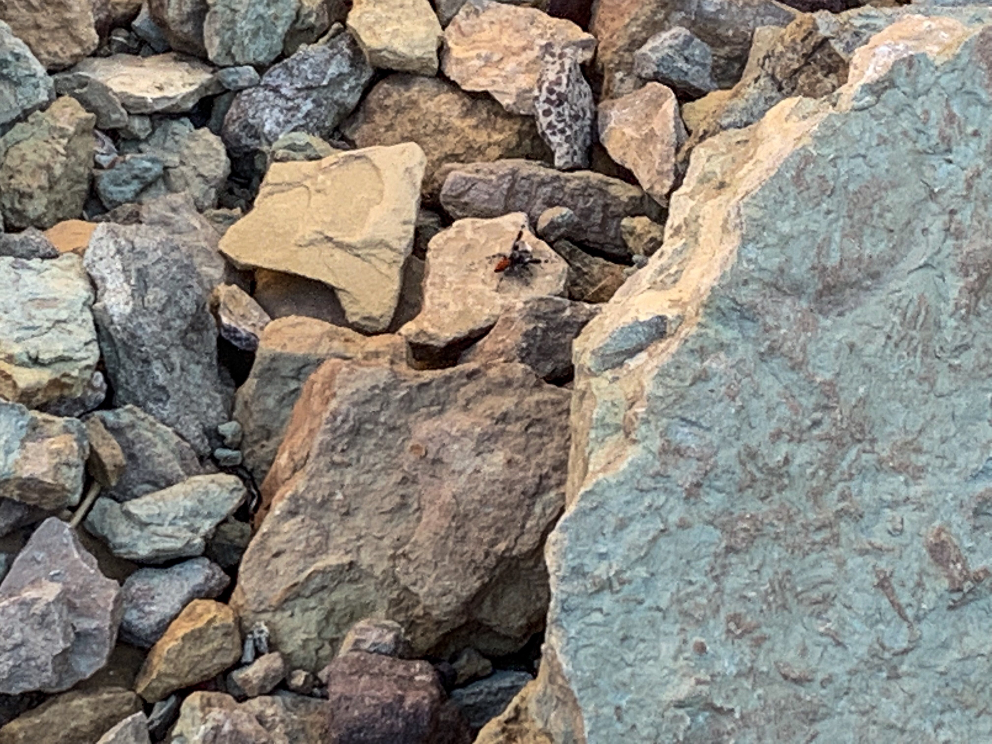
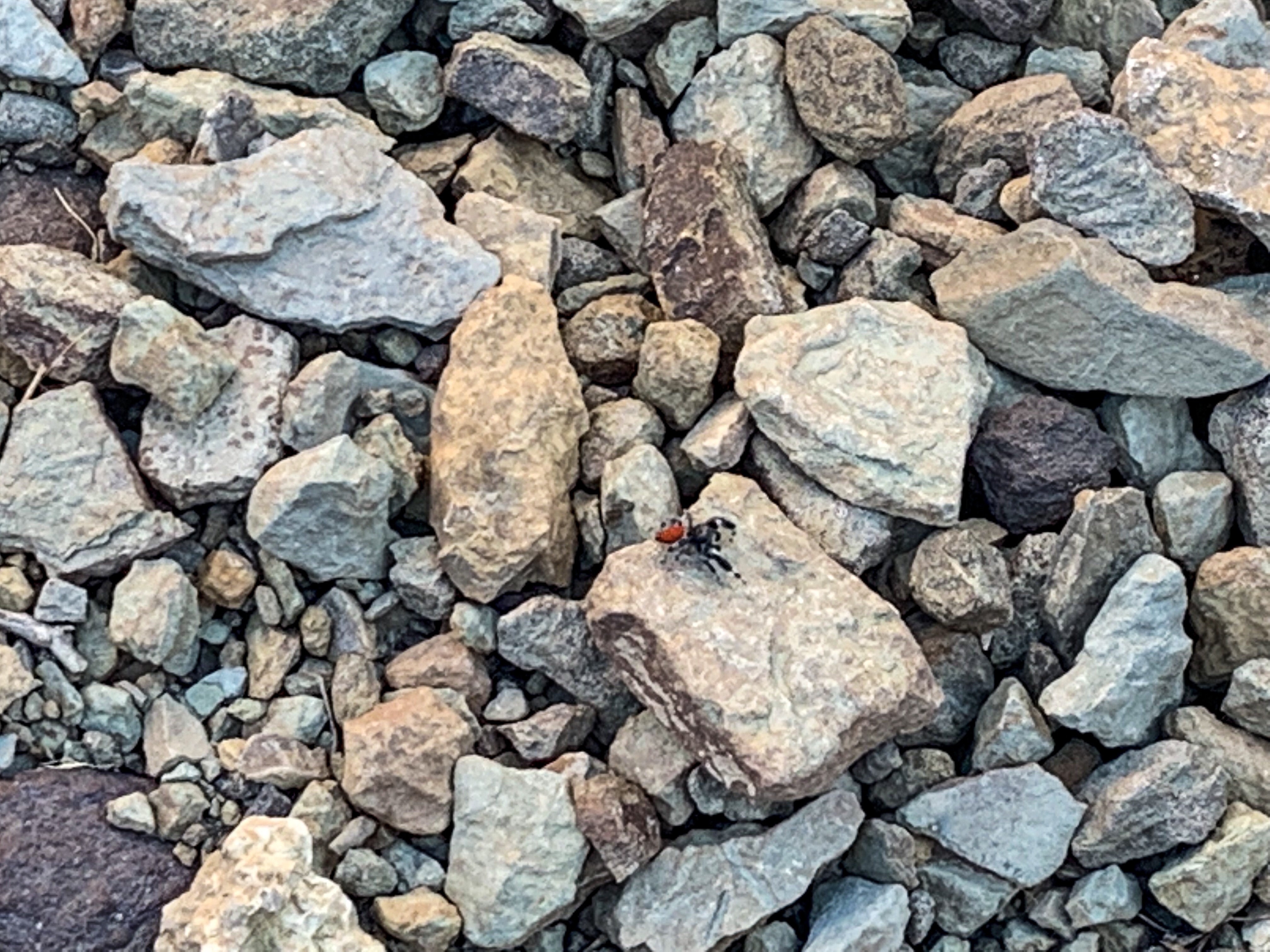
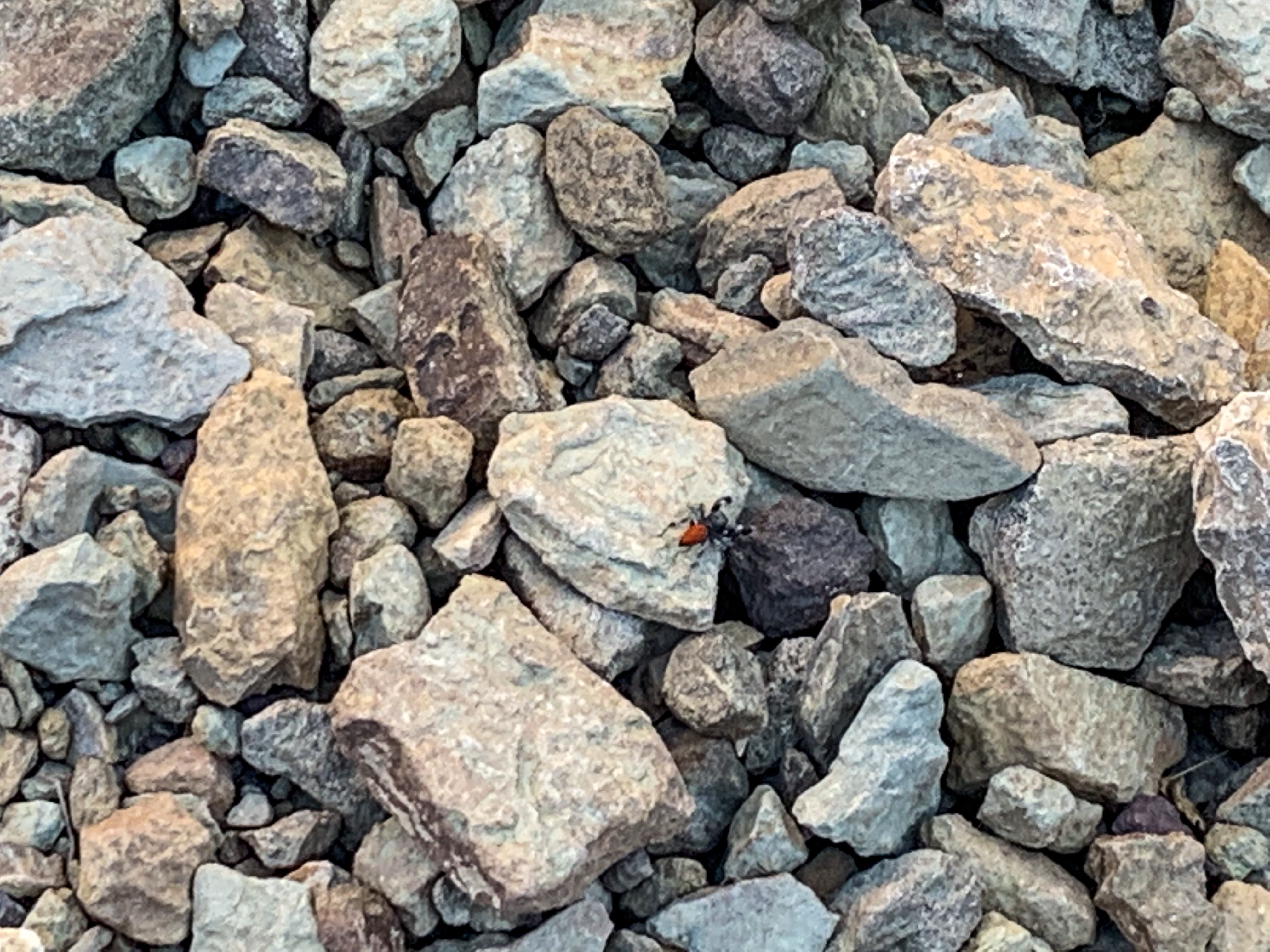
| Canyon Rim | Near river | Sonoran Desert | Riparian | Endemic | Near-endemic | |
| Common Trees/Shrubs | * rabbitbrush * Stansbury cliffrose * pinyon pine * Juniper | * Alkali goldenbush * Chuckwalla’s delight * longleaf brickellbush * Mojave brickellbush * Spearleaf brickellbush * Red barberry * Serviceberry * Silktassels * Skunkbush * sugar sumac | * brittlebush * odora * slender janusia | * Redbud | * Arizona turpentine bush | N/A |
| Common herbaceous plants | N/A | * Apache plume * Rabbitfoot * Sacred datura * Watson’s Dutchman-pipe * Western bernardia | * desert chicory | * maidenhair fern * Red monkeyflower | * Arizona prickle poppy * Glow willowweed | * giant hellebore orchid |
| Common succulents | * Banana yucca * Barrel cactus * claret cup hedgehog cacti | * Englemann hedgehog cactus * Pincushion cacti * Prickly pear cacti * Soaptree yucca | N/A | N/A | * Kaibab agave | * Barrel cactus * Grand Canyon beavertail cactus |
Arletha Heritage
Hello aspenstracks.com administrator, Your posts are always a great read.