Arizona Trail Passage 28, Blue Ridge
Backpacking the AZT Day 38, Part 1
Arizona/Utah Thruhike Day 45, Part 1
In the land of Arizona
Through desert heat or snow
Winds a trail for folks to follow
From Utah to Old Mexico
It’s the Arizona Trail
A pathway through the great Southwest
A diverse track through wood and stone
Your spirit it will test
Oh, sure you’ll sweat and blister
You’ll feel the miles every day
You’ll shiver at the loneliness
Your feet and seat will pay
But you’ll see moonlight on the borderlands
You’ll see stars on the Mogollon
You’ll feel the warmth of winter sun
And be thrilled straight through to bone
The aches and pains will fade away
You’ll feel renewed and whole
You’ll never be the same again
With Arizona in your soul
Along the Arizona Trail
A reverence and peace you’ll know
Through deserts, canyons, and mountains
From Utah to Old Mexico
-“The Arizona Trail,” Dale R. Shewalter
Welcome back to Aspen’s Tracks, thruhiking the Arizona Trail southbound from Utah to Mexico. Today’s route covers backpacking the initial stretch of Passage 28, the Blue Ridge, between the northern passage boundary at the AZ-87, the Blue Ridge Ranger Station and Clear Creek Reservoir. You can find today’s hiking logistics below the photo documentation and trail journal of the route.
If you missed my last entry covering the leg through the last segment of the Happy Jack passage, that can be found here. The next entry will cover the continued journey across the Blue Ridge passage from Clear Creek to the Mogollon Rim. If you enjoy these accounts, please do subscribe to follow along to make sure that you don’t miss out on here or any future accounts to come!
In the land of Arizona
“The Arizona Trail,” Dale R Shewalter
Through desert heat or snow
Winds a trail for folks to follow
From Utah to Old Mexico
It’s the Arizona Trail
A pathway through the great Southwest
A diverse track through wood and stone
Your spirit it will test
Some will push and pedal
And some will hike or run
Others will ride their horse or mule
What else could be more fun?
Oh, sure you’ll sweat and blister
You’ll feel the miles each day
You’ll shiver at the loneliness
Your feet and seat will pay
But you’ll see moonlight on the borderlands
You’ll see stars on the Mogollon
You’ll feel the warmth of winter sun
And be thrilled straight through to bone
The aches and pains will fade away
You’ll feel renewed and whole
You’ll never be the same again
With Arizona in your soul
Along the Arizona Trail
A reverence and peace you’ll know
Through deserts, canyons, and mountains
From Utah to Old Mexico
Arizona Trail: Blue Ridge Ranger Station-Blue Ridge
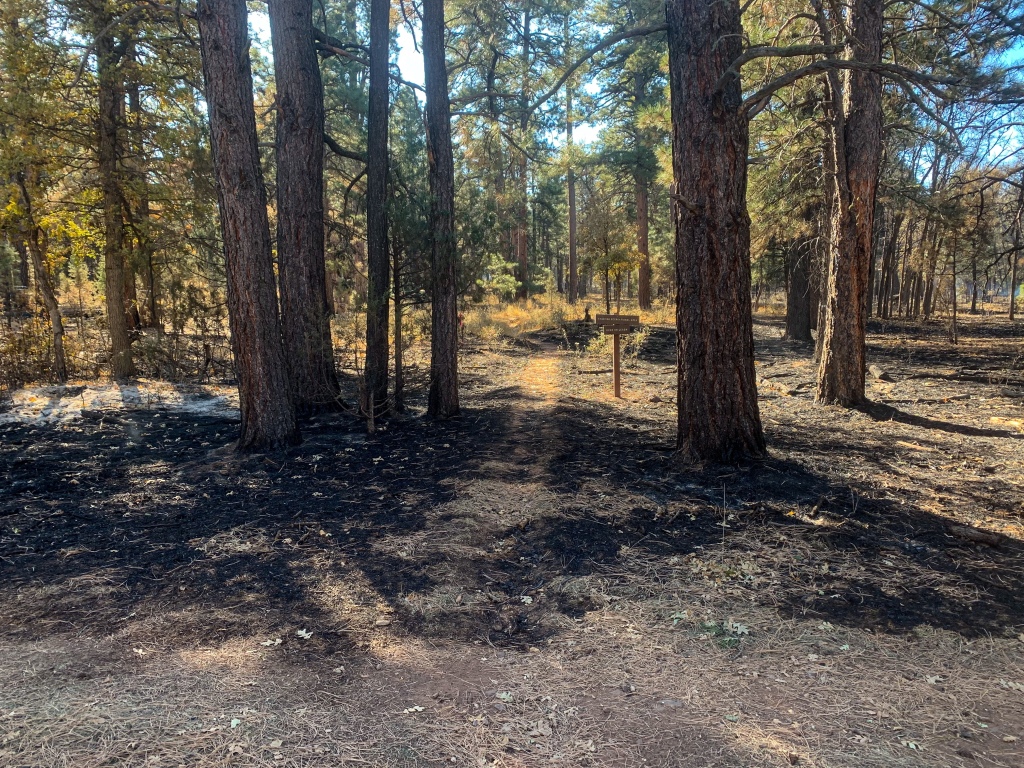
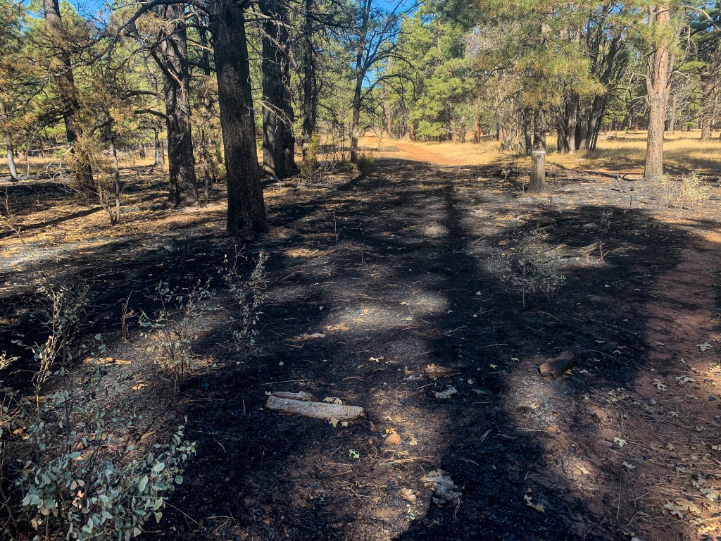
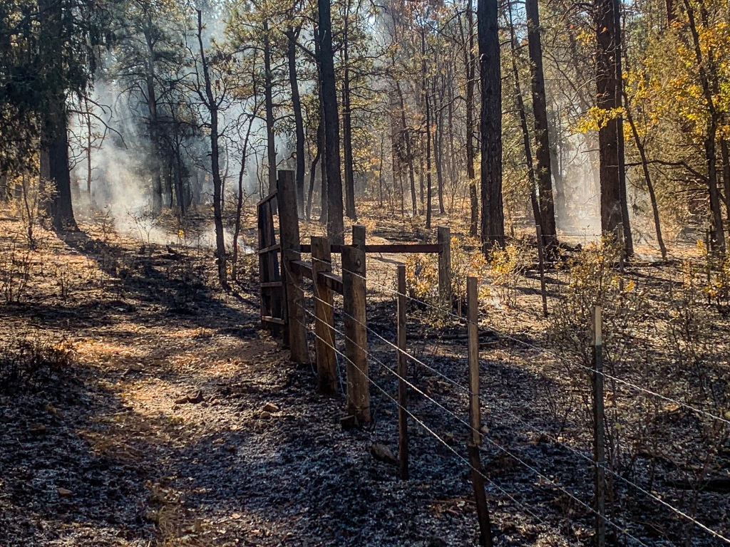
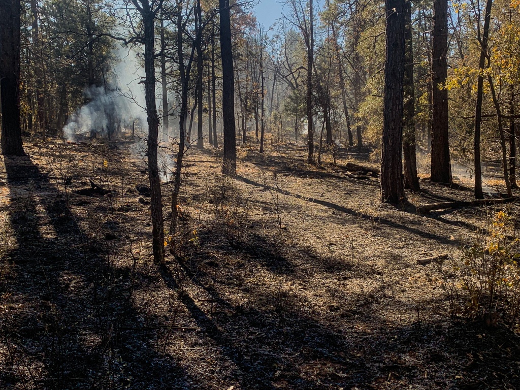
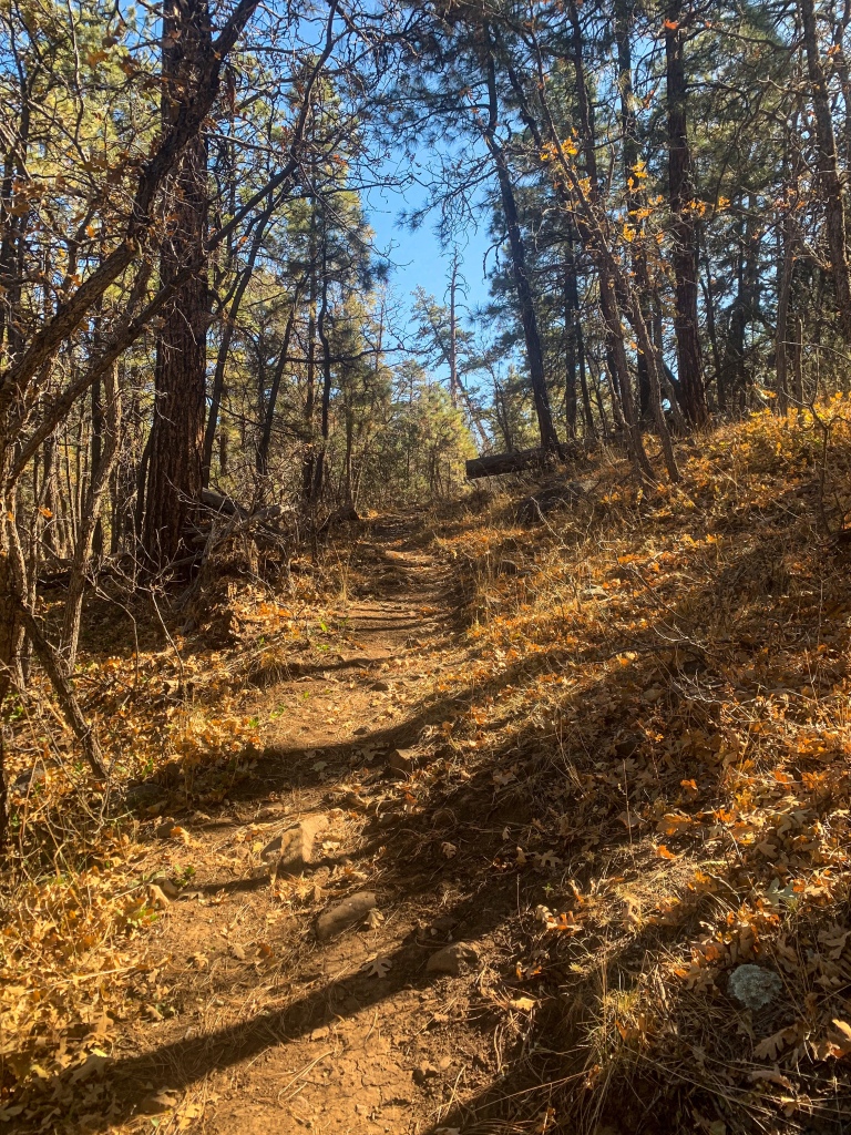
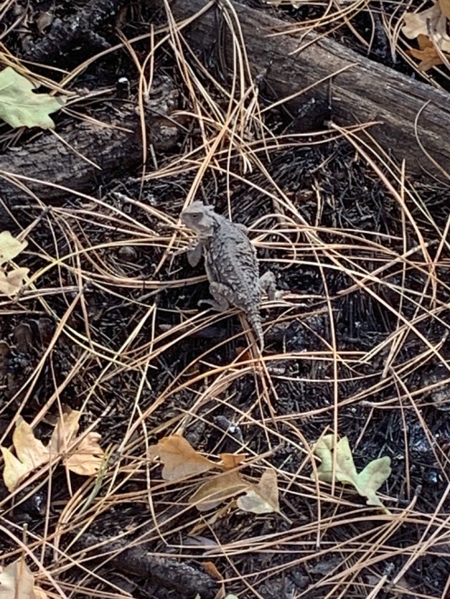
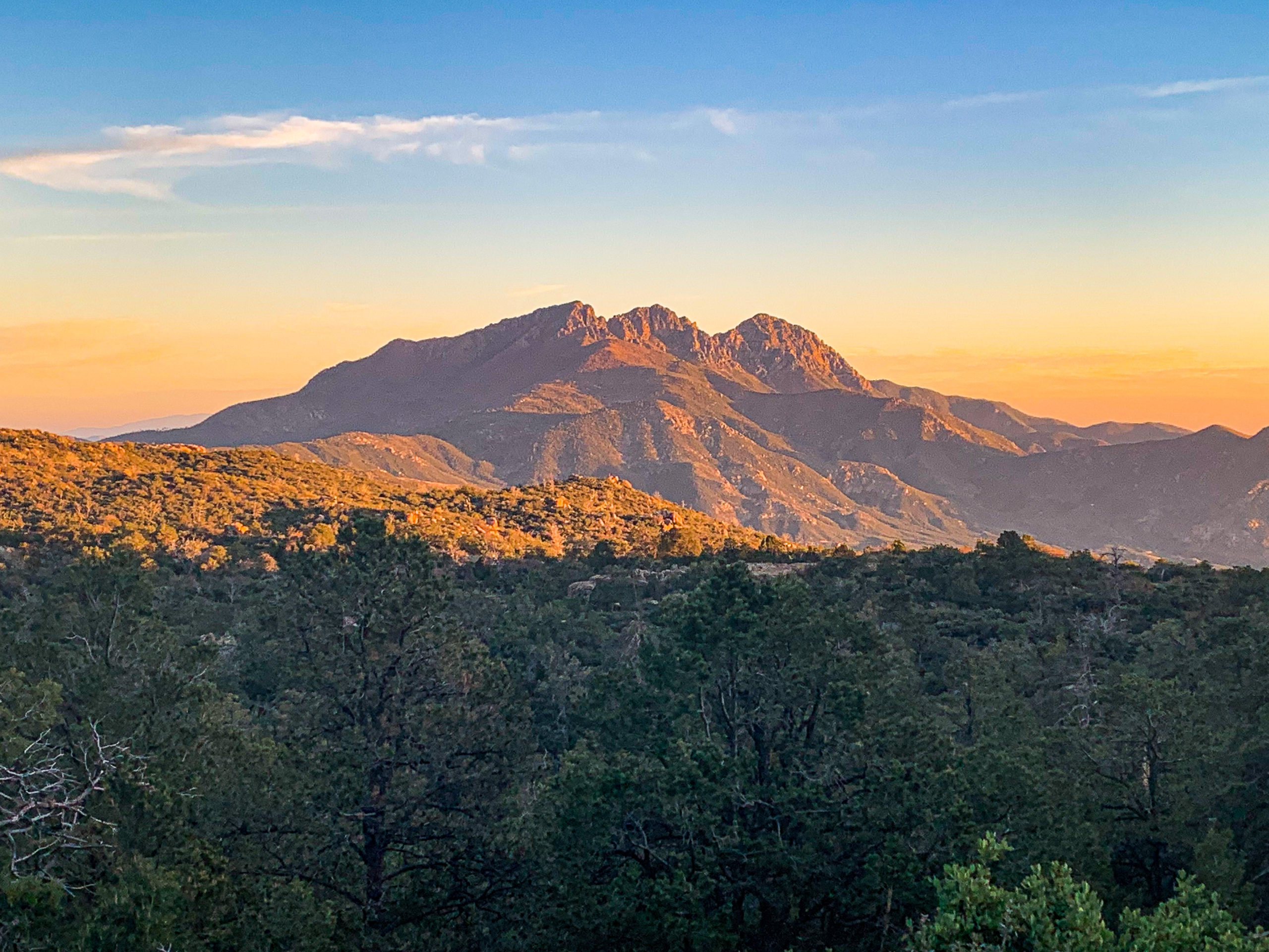
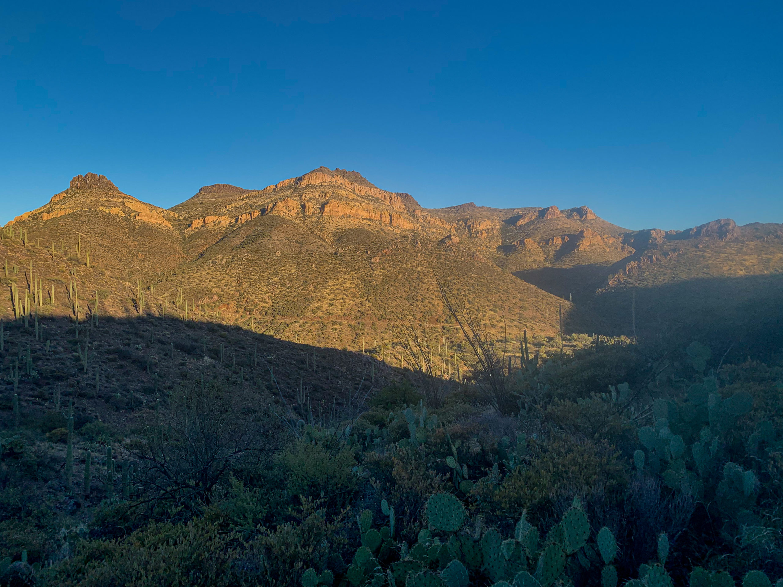
Managed to push through the entire Blue Ridge Passage today, one of my best days on the trail so far. I left the Blue Ridge Ranger Station this morning and headed south for the Mogollon Rim. Saw a herd of elk near the Blue Ridge Campground. The trail also passed through an active prescribed burn, though it was low intensity so probably not considered a public hazard at this point. I’m familiar with them anyway, having worked as a PIO (public informations officer) on one over the summer at Grand Canyon.
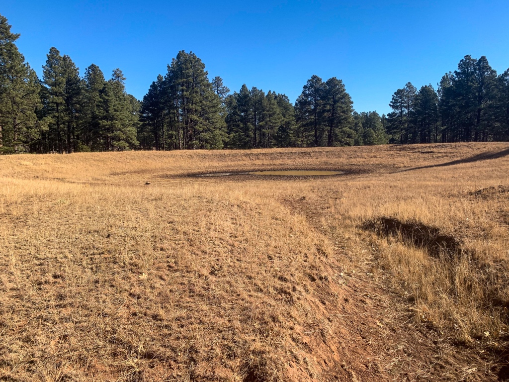
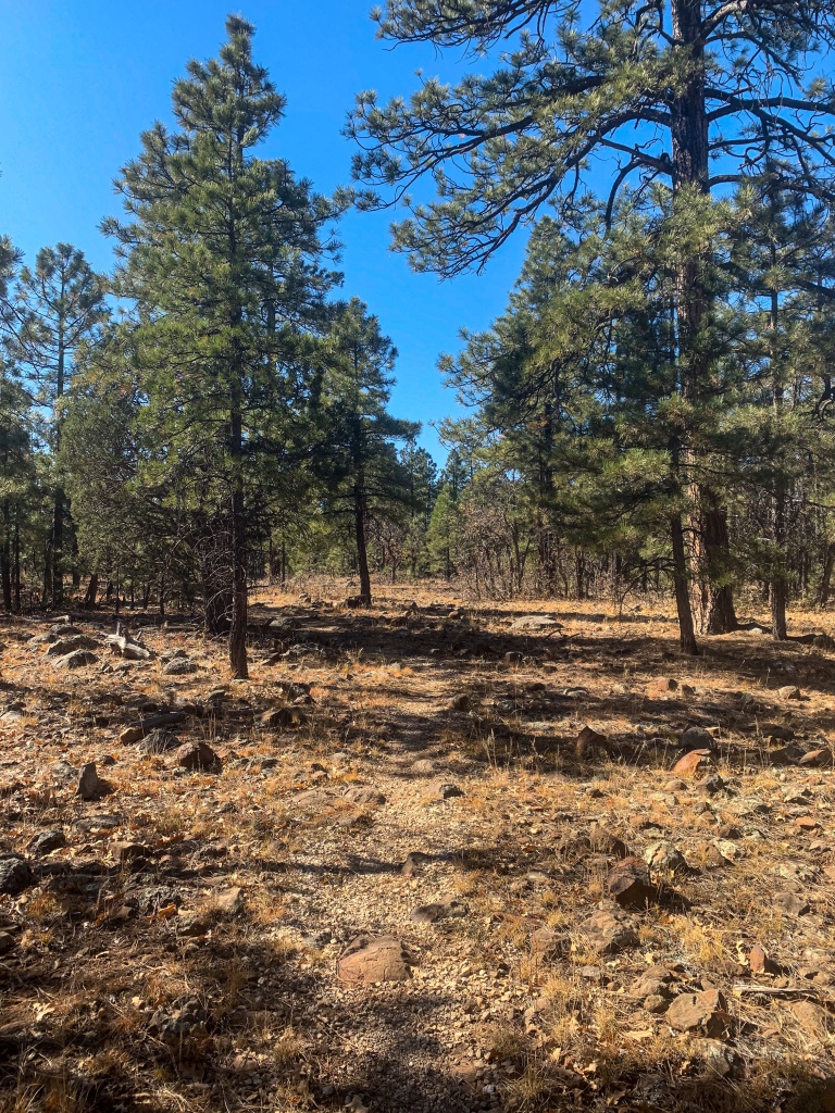
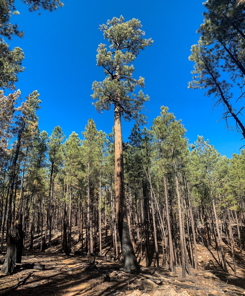
Arizona Trail Passage 28, Blue Ridge
Coconino National Forest

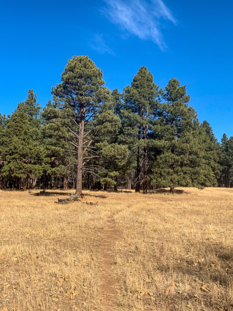
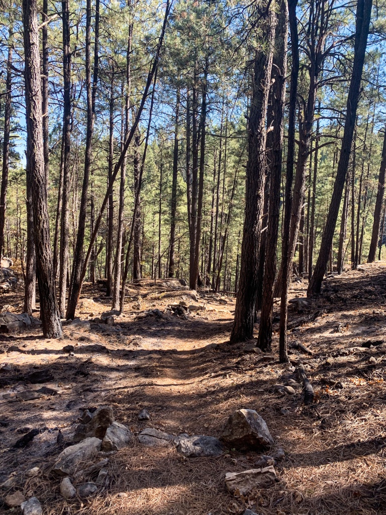
Arizona Trail Passage 28, Blue Ridge
Coconino National Forest
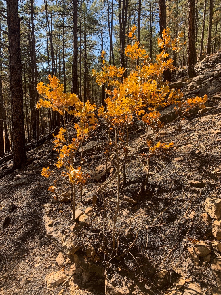
Arizona Trail Passage 28, Blue Ridge
Coconino National Forest
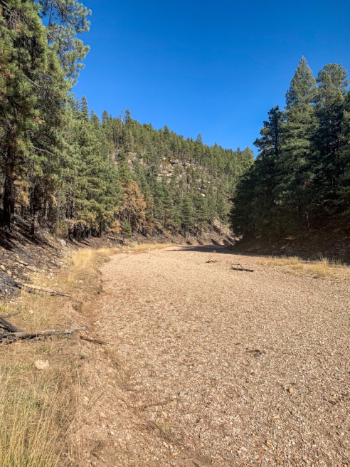
Arizona Trail Passage 28, Blue Ridge
Coconino National Forest
Arizona Trail Passage 28, Blue Ridge
Coconino National Forest
Arizona Trail Passage 28, Blue Ridge
Coconino National Forest
Arizona Trail Passage 28, Blue Ridge
Coconino National Forest
Arizona Trail Passage 28, Blue Ridge
Coconino National Forest

Arizona Trail Passage 28, Blue Ridge
Coconino National Forest

Arizona Trail Passage 28, Blue Ridge
Coconino National Forest
Arizona Trail: Blue Ridge-Clear Creek
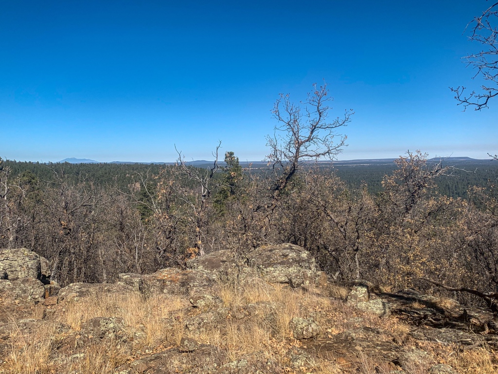
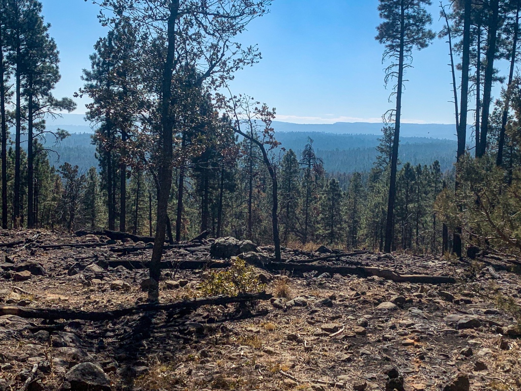
Another herd of elk pop up along the trail, at the aptly named Elk Tank, as it climbs Blue Ridge to views back north to the San Francisco Peaks near Flagstaff and south to the Mazatzal Mountains south of Pine, one of my upcoming objectives. Soaking in the views, the trail crosses Blue Ridge and dips across the steep valley of East Clear Creek, dry at the crossing. Someone did mention that if needed, water could be found just off the trail in this area, however, I did not need it at the time and therefore did not look for it.
AZT passing through a burn area
Arizona Trail Passage 28, Blue Ridge
Coconino National Forest

Arizona Trail Passage 28, Blue Ridge
Coconino National Forest
Arizona Trail Passage 28, Blue Ridge
Coconino National Forest
Arizona Trail Passage 28, Blue Ridge
Coconino National Forest
Arizona Trail Passage 28, Blue Ridge
Coconino National Forest
Arizona Trail Passage 28, Blue Ridge
Coconino National Forest
Arizona Trail Passage 28, Blue Ridge
Coconino National Forest

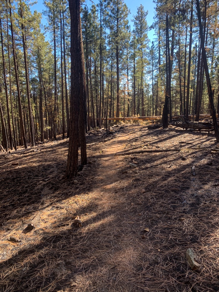
Recent burn came through here (evidenced by burn marks on lower portions of trunk – normal for healthy ponderosa forests, clearing out underbrush).
Arizona Trail Passage 28, Blue Ridge
Coconino National Forest
Recent burn came through here (evidenced by burn marks on lower portions of trunk – normal for healthy ponderosa forests, clearing out underbrush).
Arizona Trail Passage 28, Blue Ridge
Coconino National Forest

Recent burn came through here (evidenced by burn marks on lower portions of trunk – normal for healthy ponderosa forests, clearing out underbrush).
Arizona Trail Passage 28, Blue Ridge
Coconino National Forest

Recent burn came through here (evidenced by burn marks on lower portions of trunk – normal for healthy ponderosa forests, clearing out underbrush).
Arizona Trail Passage 28, Blue Ridge
Coconino National Forest
Recent burn came through here (evidenced by burn marks on lower portions of trunk – normal for healthy ponderosa forests, clearing out underbrush).
Arizona Trail Passage 28, Blue Ridge
Coconino National Forest
Arizona Trail Passage 28, Blue Ridge
Coconino National Forest
Arizona Trail Passage 28, Blue Ridge
Coconino National Forest
| Passage 27 (Blue Ridge) | |
| AZTA Passage Information | Passage 27 (Blue Ridge) |
| AZTA Passage Map | Passage 27 Map |
| AZTA Elevation Profile | Passage 27 Elevation Profile |
| Trail Surface | Dirt singletrack |
| Length (Mi) | 15.4 |
| Season | Spring-Fall |
| Potential Water Sources | Blue Ridge Ranger Station (mi 292.0 SOBO/496.7 NOBO) Elk Tank/FR 135D (mi 266.7 SOBO/495.9 NOBO) Blue Ridge Campground (mi 293.4 SOBO/495.3 NOBO) Rock Crossing Campground (297.0 SOBO/491.7 NOBO) East Clear Creek (mi 298.7 SOBO/490 NOBO) Stock Tank (mi 299.6 SOBO/489.2 NOBO) General Springs Canyon (mi 306.0 SOBO/482.7 NOBO) Full Water Source Report: AZTA Water Report |
| Trailheads | North: AZ-87 (mi 262.6 SOBO/526.1 NOBO) South: Mogollon Rim (mi 292.1 SOBO, 496.7 NOBO) |
| Trailhead Access | North: Paved road South: Graded dirt road |
| Wilderness | No |
| Possible resupply points | None |
| Difficulty | Moderate |
| Potential campsites (mileages S to N) | Various LNT-compatible locations throughout |
| Threats | Heat – wear a cotton shirt if hot so you can soak it. Synthetics aren’t great in the desert. Hypothermia – nights are generally about 30°F cooler than days in Arizona regardless of the time of year. Consider this in packing gear. Mornings can be cool year-round. Hyponatremia – “drunk on water.” To avoid, ensure adequate salt & electrolyte intake and ensure you eat as well as drink water. Symptoms are almost identical to dehydration, but drinking more makes it worse. Prevention is by far the best solution. Dehydration Lightning |
| Permits Required? | No |
| Cell service? | Limited |
| Ecosystems traversed | Rocky Mountain Montane Conifer Forest |
| Highlights | Largest ponderosa forest in world Mogollon Rim, southern boundary of Colorado Plateau Ecological diversity on slopes of Clear Creek |
| Current Weather Forecast | Blue Ridge Weather |
| Rocky Mountain Montane Conifer Woodland | |
| Common Trees/Shrubs | * Ponderosa Pine * Southwestern white pine * Subalpine fir * White fir * Rocky Mountain maple * Bigtooth maple * Grey alder * Red birch * Red osier dogwood * Cliffbush * Mallow ninebark * New Mexican locust * huckleberry * bilberries |
| Common herbaceous plants | * fringed brome * Geyer’s sedge/elk sedge * Ross’ sedge * Bronze sedge/dry land sedge/hillside sedge/hay sedge/Fernald’s hay sedge * screwleaf muhly * bluebunch wheatgrass * Spruce-fir fleabane * wild strawberry/Virginia strawberry * Small-flowered woodrush * mountain sweet Cicely * bittercress ragwort * western meadow-rue * Fendler’s meadow-rue |

xlcrgirl
Not sure if I missed a post but was wondering if your trail takes you close to Havasu falls?
Aspen
Hi! No, you didn’t miss a post. Havasu Falls is located in a remote area west of Grand Canyon National Park, so it’s not on the trail itself. I suppose you could walk there under normal circumstances from the South Rim (with a permit) but it would have to be a spur detour since there’s no river crossing in that area. There are also lots of other spectacular hikes within the Canyon that you can access directly from the main trail as well.
xlcrgirl
got you. Thanks