Arizona Trail Backpacking: Passage 40 – Kaibab Plateau South
AZT Day 5, Part 2
Trans-Arizona/Utah Day 12, Part 2
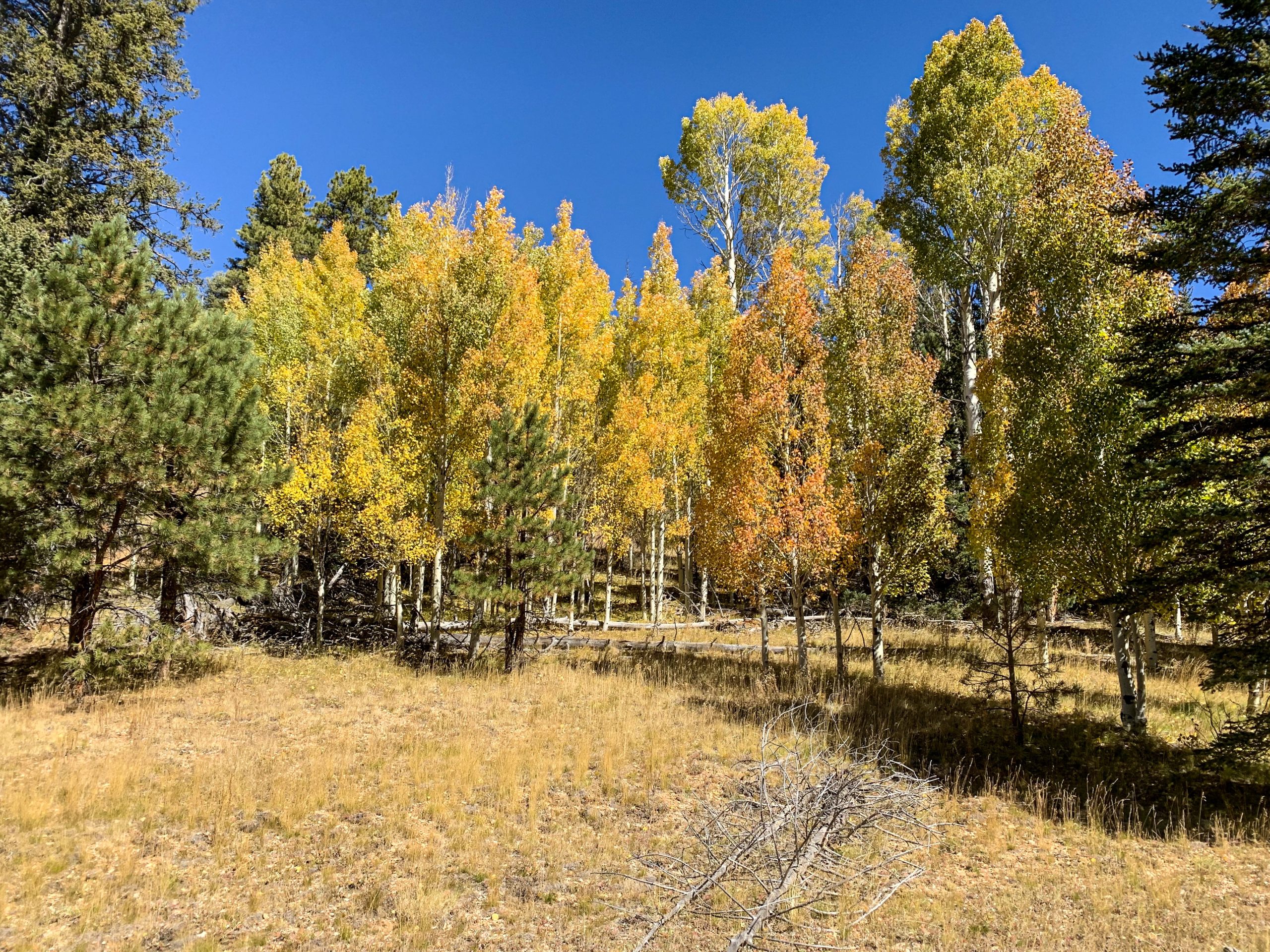
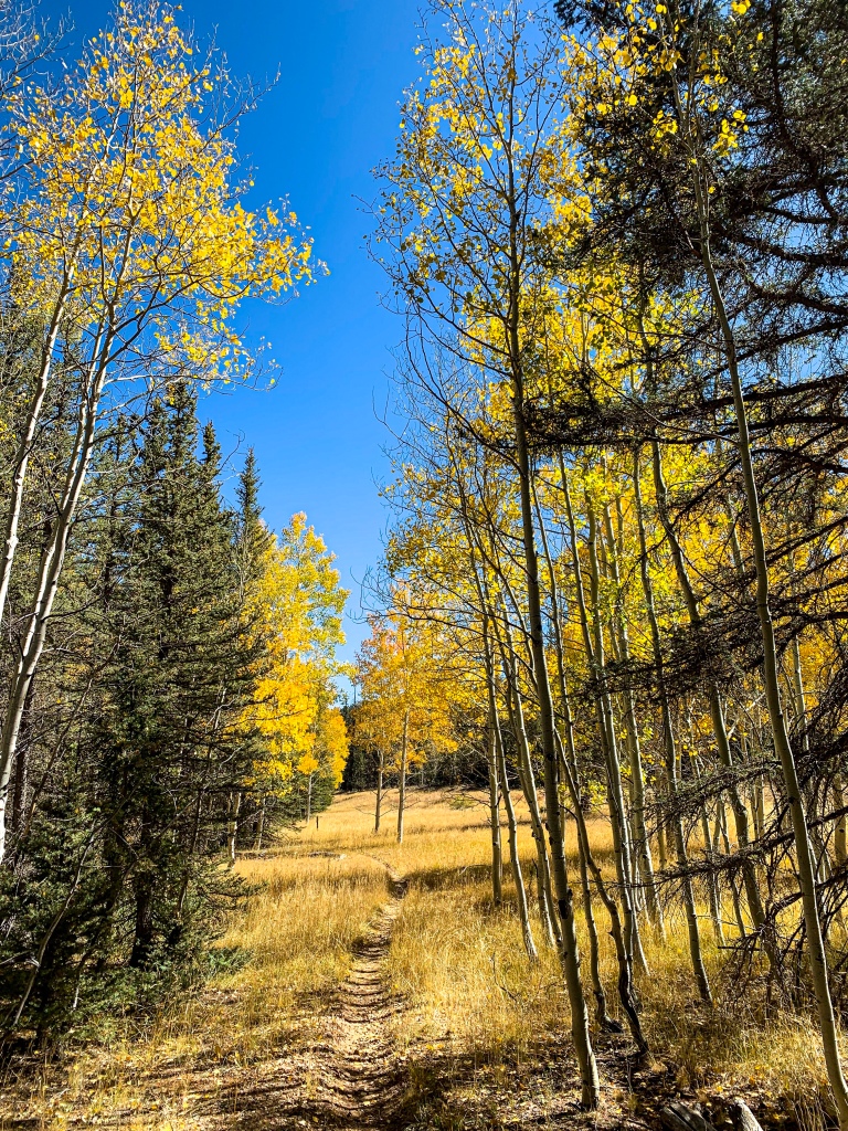
Welcome back to Aspen’s Tracks, thruhiking the Arizona Trail from Utah to Mexico. Today, we’re continuing hiking along Passage 40, from Telephone Hill to Little Round Valley. Backpacking southward, aspens continue to take center stage beside alpine ponds under a brilliant blue sky.
In the land of Arizona
Through desert heat or snow
Winds a trail for folks to follow
From Utah to Old Mexico
It’s the Arizona Trail
A pathway through the great Southwest
A diverse track through wood and stone
Your spirit it will test
Oh, sure you’ll sweat and blister
You’ll feel the miles every day
You’ll shiver at the loneliness
Your feet and seat will pay
But you’ll see moonlight on the borderlands
You’ll see stars on the Mogollon
You’ll feel the warmth of winter sun
And be thrilled straight through to bone
The aches and pains will fade away
You’ll feel renewed and whole
You’ll never be the same again
With Arizona in your soul
Along the Arizona Trail
A reverence and peace you’ll know
Through deserts, canyons, and mountains
From Utah to Old Mexico
-“The Arizona Trail,” Dale R. Shewalter
Arizona Trail: Telephone Hill-Crane Lake
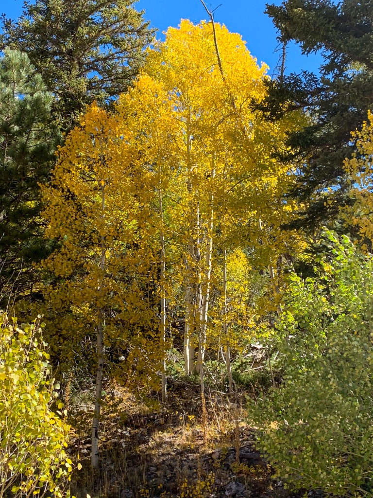
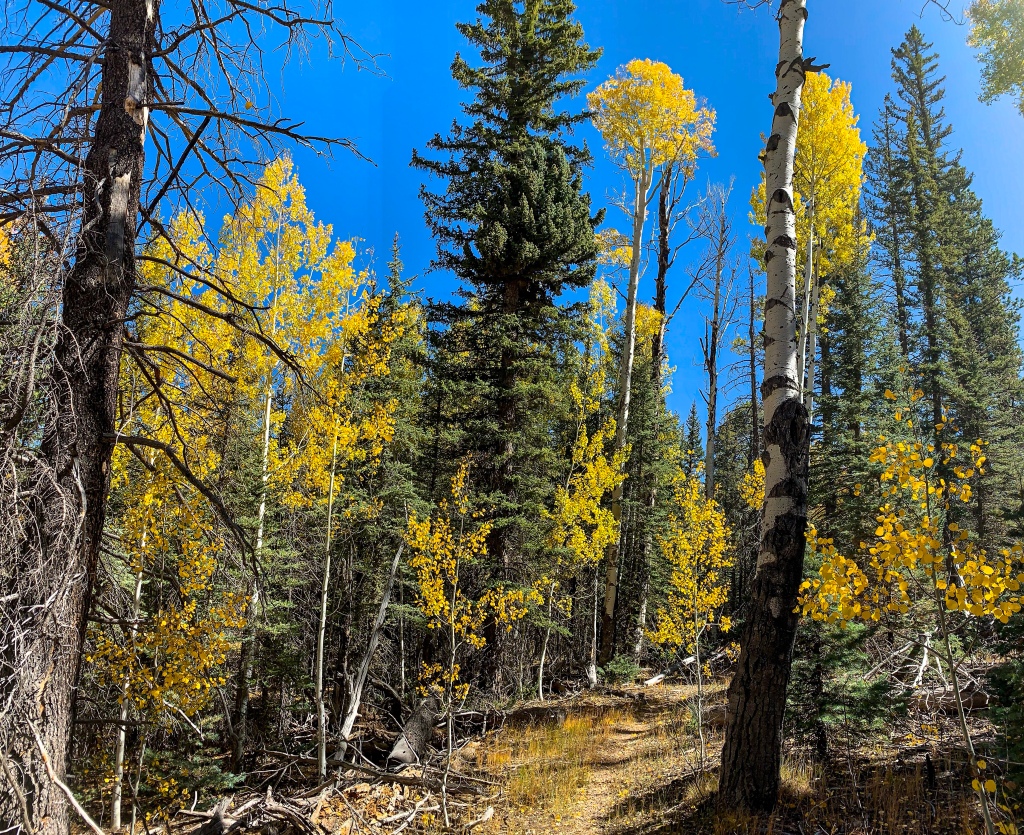
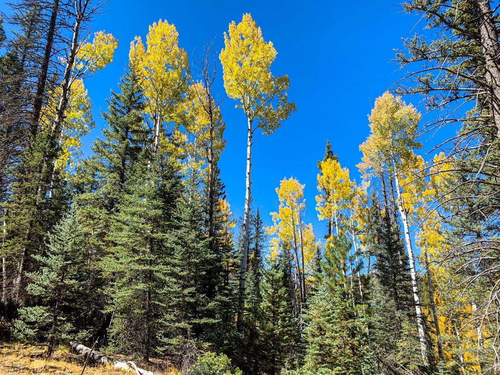
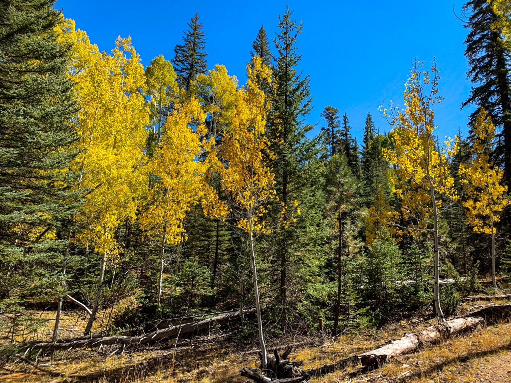
Hiking south on Passage 40, the backpacker crosses Telephone Hill, where the pines and aspens offer a respite from the Kaibab winds. Dropping down the back side, the trail passes skirts AZ-67 and passes one of the first substantial water sources in a while, Crane Lake, especially in this dry year.

Arizona Trail, Passage 40 (Kaibab Plateau South)
Kaibab National Forest
Arizona Trail, Passage 40 (Kaibab Plateau South)
Kaibab National Forest
Arizona Trail, Passage 40 (Kaibab Plateau South)
Kaibab National Forest
Arizona Trail, Passage 40 (Kaibab Plateau South)
Kaibab National Forest
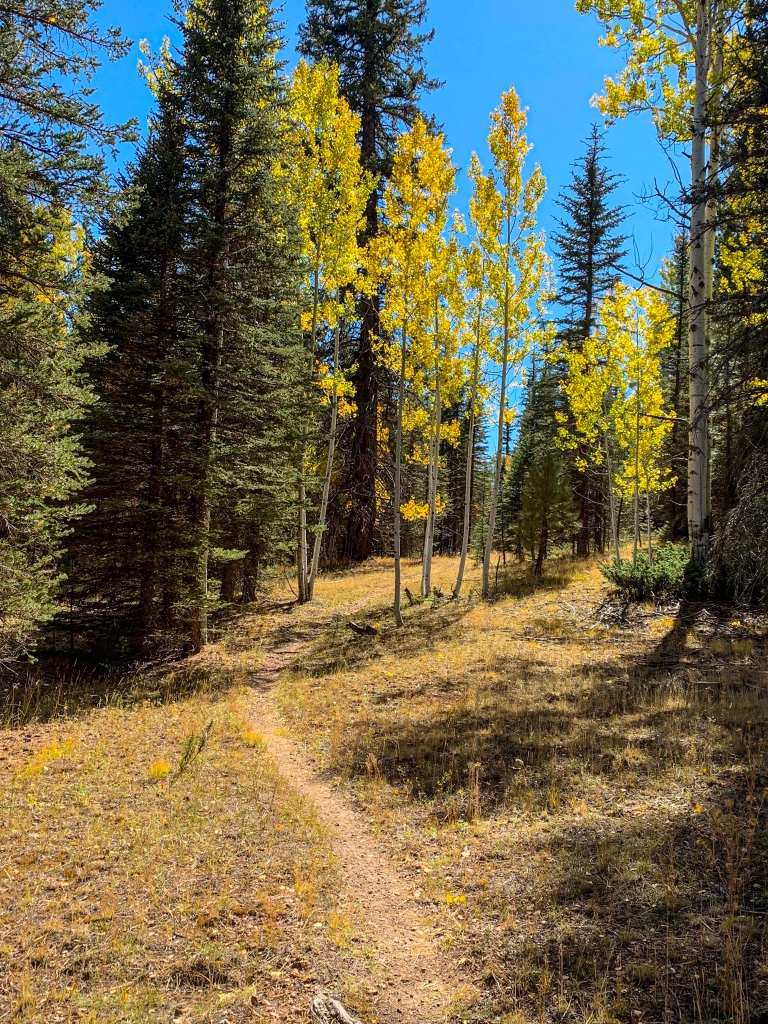
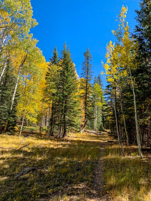
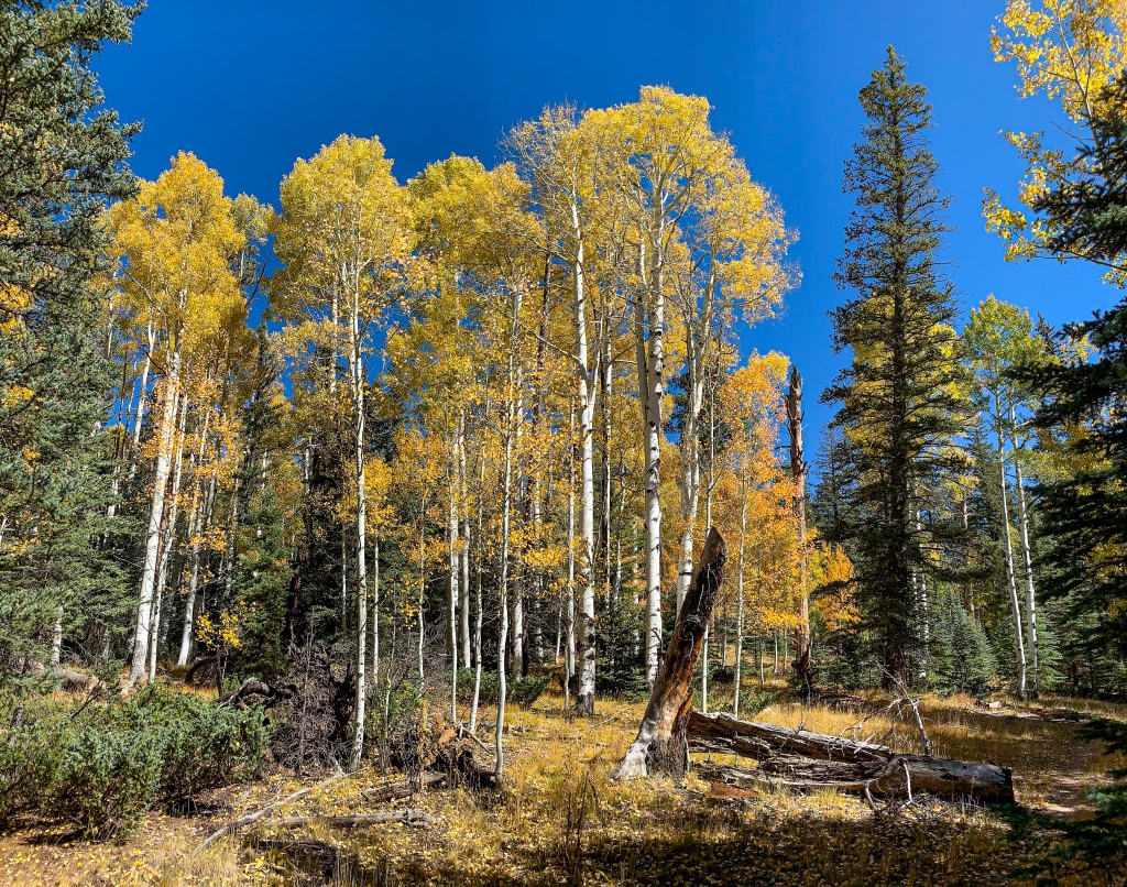
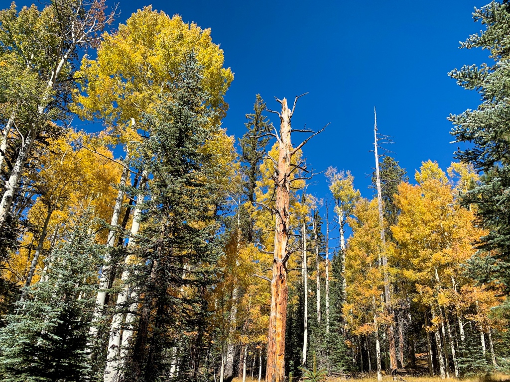
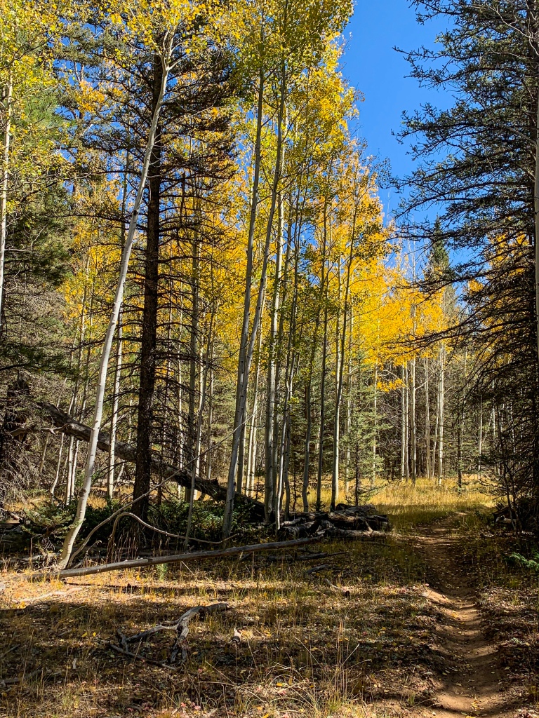
Arizona Trail: Crane Lake-Little Round Valley
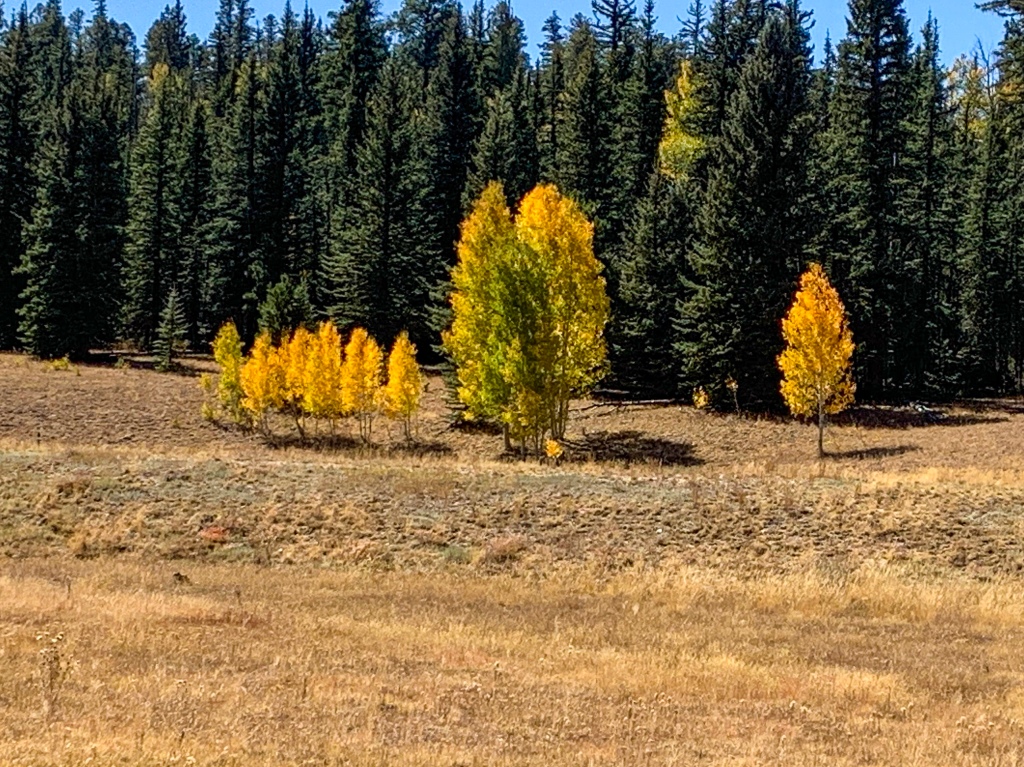
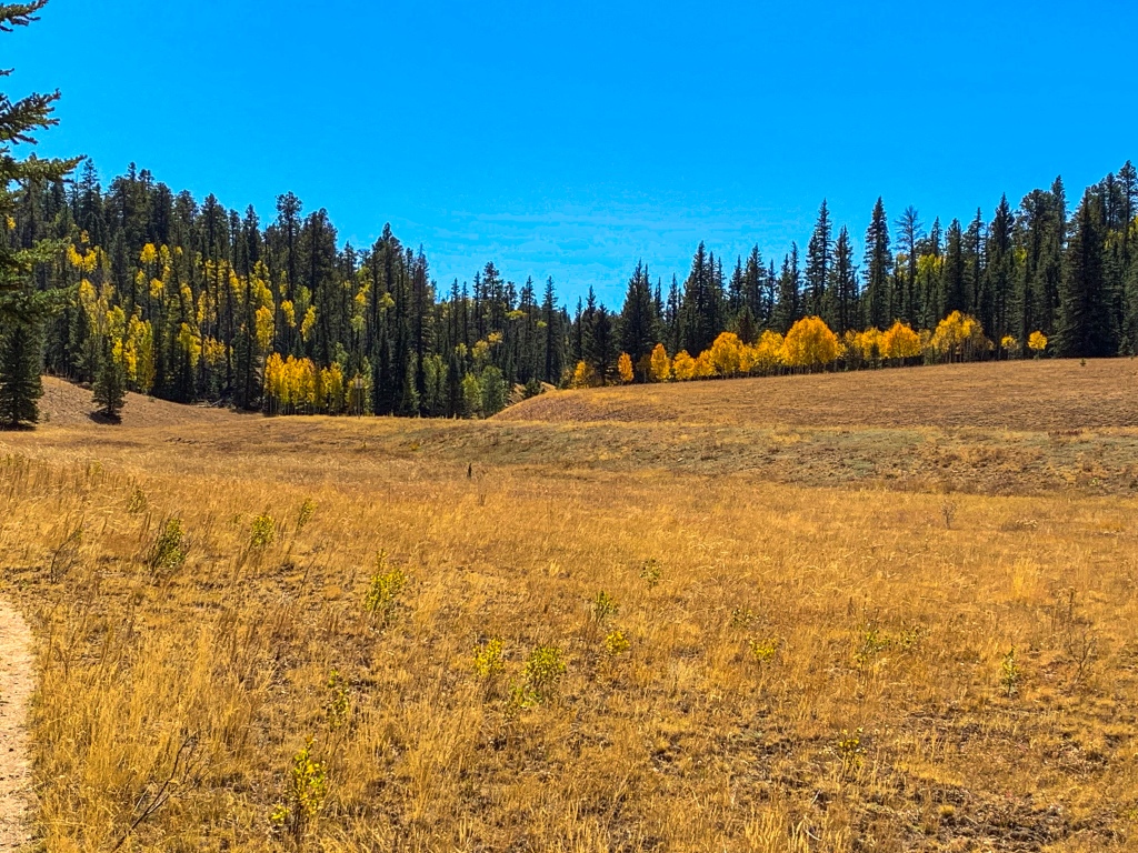
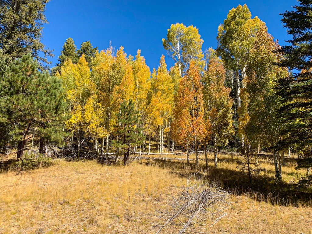
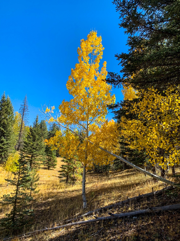
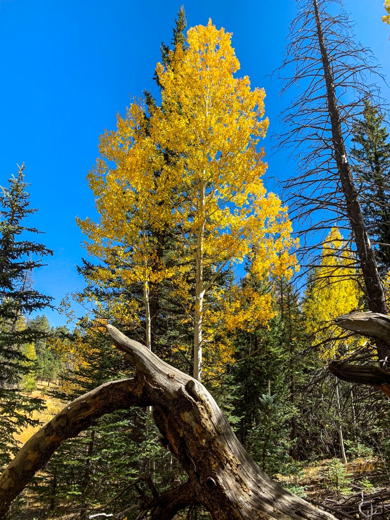
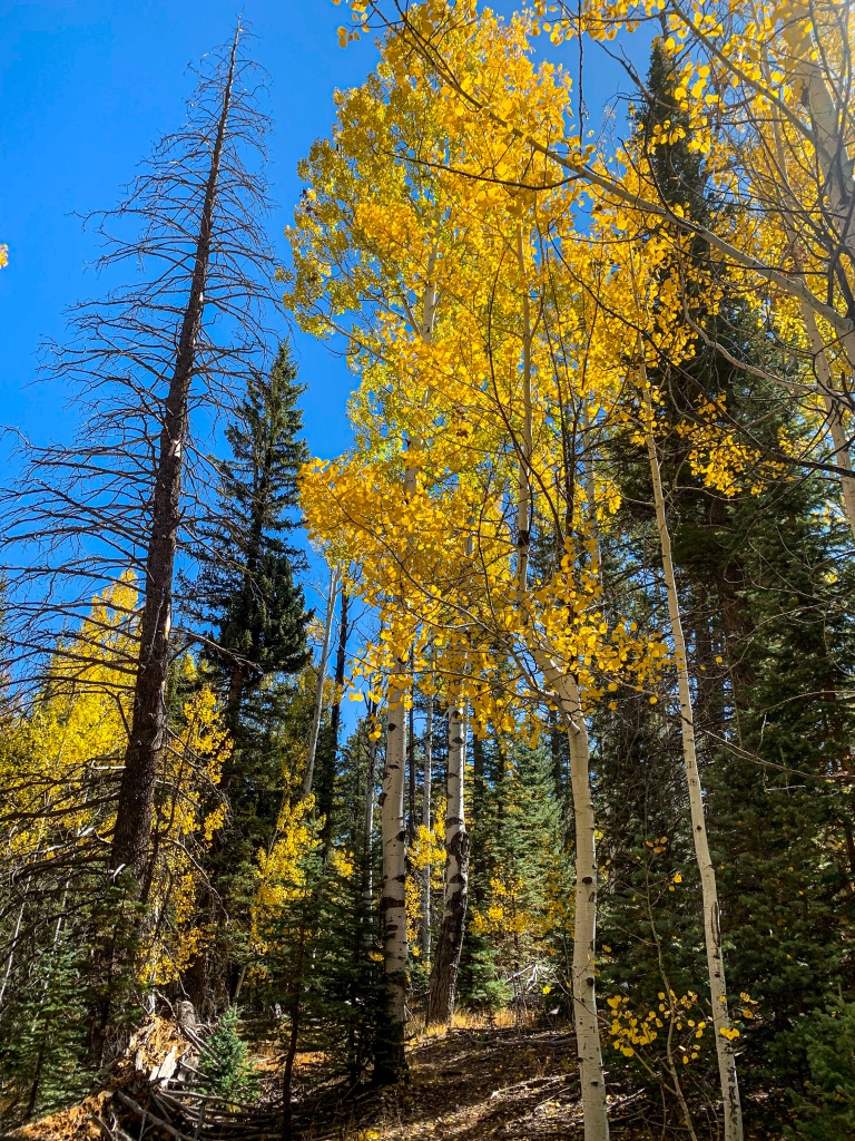
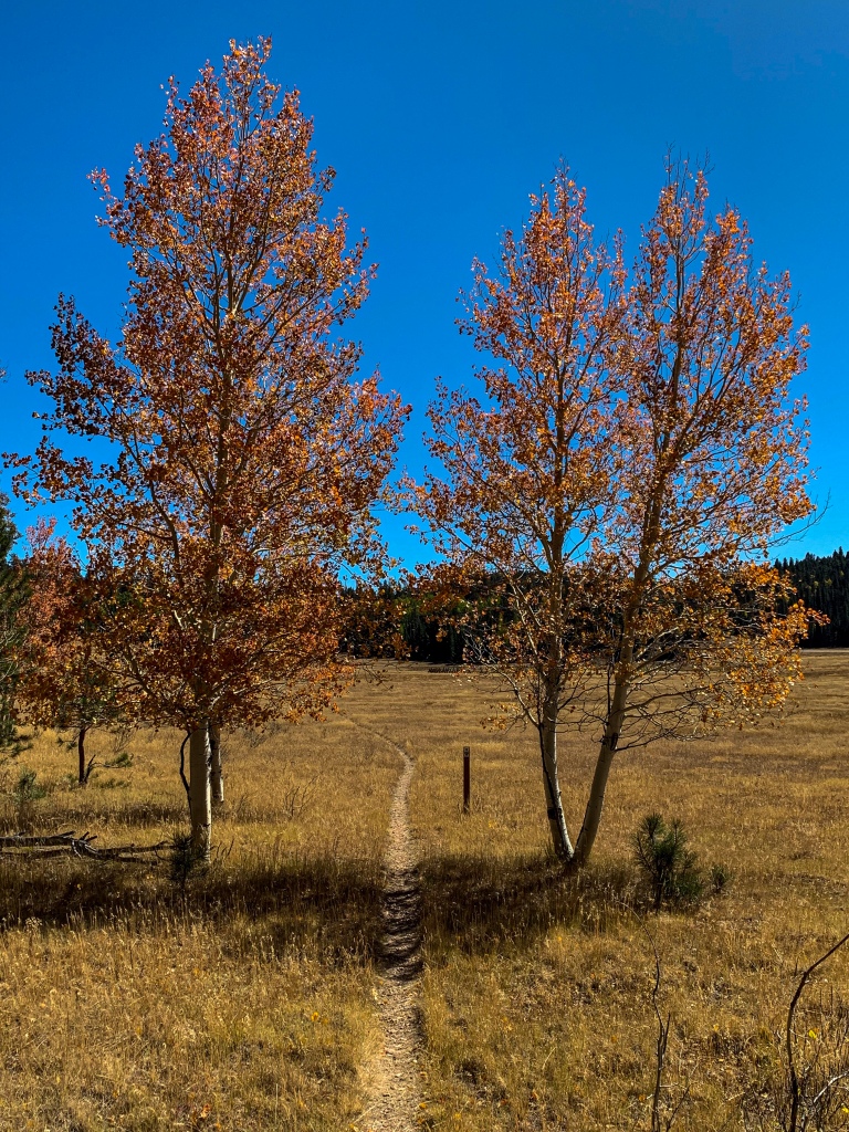
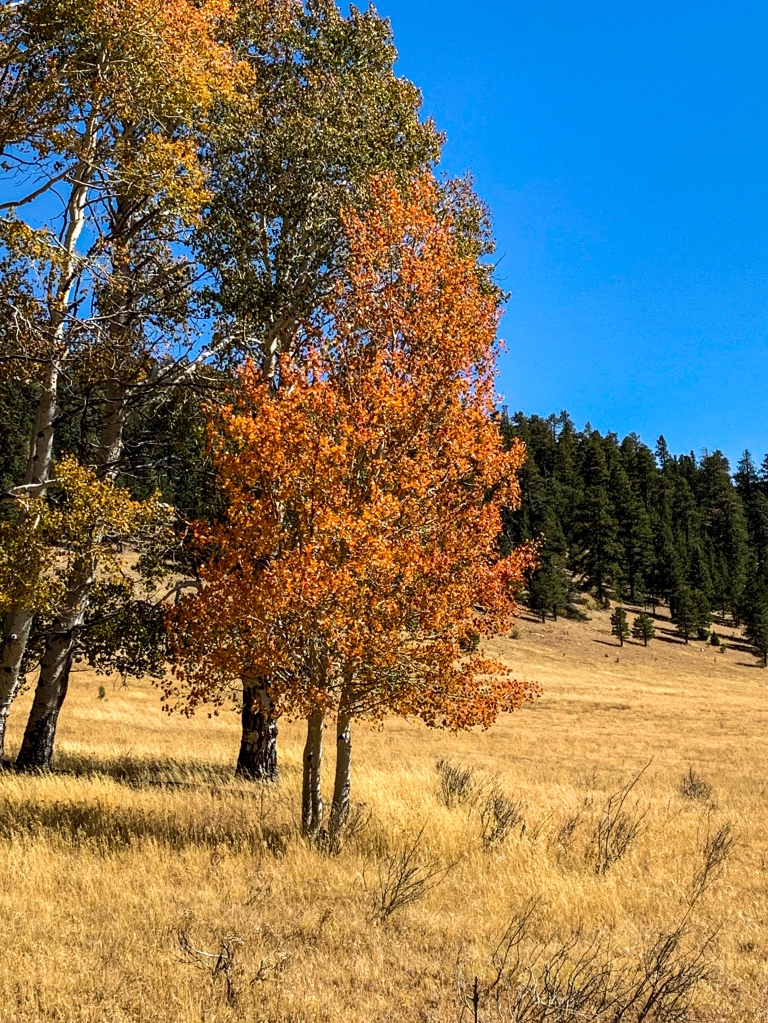
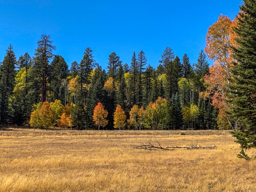
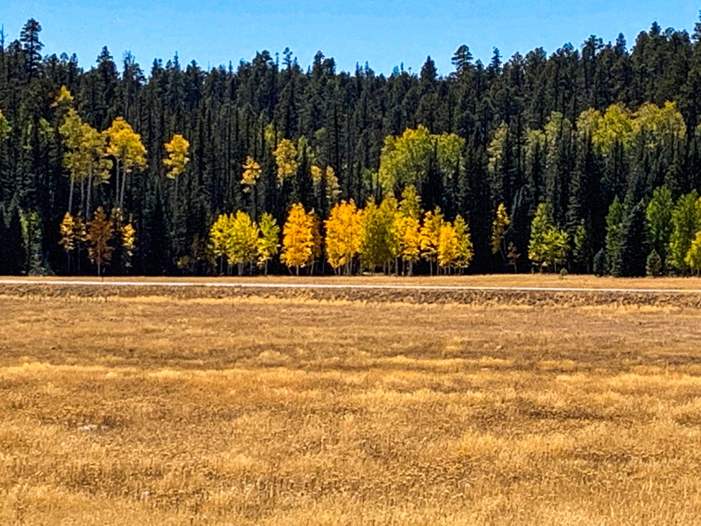
Departing Crane Lake, the AZT proceeds south through a meadow before gradually ascending into aspens and pines once again. Aspens and conifer covered hills dominate the remainder of the route, rolling across hills hiking south toward Little Round Valley.

Arizona Trail, Passage 40 (Kaibab Plateau South)
Kaibab National Forest
Arizona Trail, Passage 40 (Kaibab Plateau South)
Kaibab National Forest
Arizona Trail, Passage 40 (Kaibab Plateau South)
Kaibab National Forest
Arizona Trail, Passage 40 (Kaibab Plateau South)
Kaibab National Forest
Arizona Trail, Passage 40 (Kaibab Plateau South)
Kaibab National Forest
AZT Passage 40 (Kaibab Plateau South)
Kaibab National Forest
AZT Passage 40 (Kaibab Plateau South)
Kaibab National Forest

AZT Passage 40 (Kaibab Plateau South)
Kaibab National Forest
AZT Passage 40 (Kaibab Plateau South)
Kaibab National Forest
AZT Passage 40 (Kaibab Plateau South)
Kaibab National Forest

AZT Passage 40 (Kaibab Plateau South)
Kaibab National Forest

AZT Passage 40 (Kaibab Plateau South)
Kaibab National Forest

AZT Passage 40 (Kaibab Plateau South)
Kaibab National Forest
Kaibab National Forest
AZT Passage 40 (Kaibab Plateau South)
Kaibab National Forest
AZT Passage 40 (Kaibab Plateau South)
Kaibab National Forest
AZT Passage 40 (Kaibab Plateau South)
Kaibab National Forest
AZT Passage 40 (Kaibab Plateau South)
Kaibab National Forest
AZT Passage 40 (Kaibab Plateau South)
Kaibab National Forest

AZT Passage 40 (Kaibab Plateau South)
Kaibab National Forest
AZT Passage 40 (Kaibab Plateau South)
Kaibab National Forest
AZT Passage 40 (Kaibab Plateau South)
Kaibab National Forest

Arizona Trail, Passage 40
Kaibab National Forest
AZT Passage 40 (Kaibab Plateau South)
Kaibab National Forest

AZT Passage 40 (Kaibab Plateau South)
Kaibab National Forest
In the next entry, we’ll continue day 5 with the distance from Little Round Valley to Pleasant Valley.
Arizona Trail: Passage 40 Logistics
| Passage 40 (Kaibab Plateau South) | |
| AZTA Passage Overview | Passage 40 (Kaibab Plateau South) |
| Trail Surface | Dirt trail |
| Length (Mi) | 24.3 |
| Season | Spring-fall. No vehicular access to this section December-mid May. Feet of snow in winter. |
| Potential Water Sources | Crane Lake (mi 46.5 SOBO, 742.2 NOBO) Little Pleasant Valley Tank (mi 48.8 SOBO, 739.9 NOBO) Wildlife Drinker (mi 56.5 SOBO, 732.2 NOBO) Dog Lake (mi 56.6 SOBO, 732.1 NOBO) North Canyon Spring (mi 58.9 SOBO, 729.8 NOBO) Crystal Spring (mi 59.5 SOBO, 729.2 NOBO) Sourdough Well (mi 62.1 SOBO, 726.6 NOBO) Upper North Canyon Creek (mi 63.9 SOBO, 724.9 NOBO) |
| Water Source Reports | FarOut or AZT Water Reports |
| Trailheads | North: Telephone Hill South: Grand Canyon National Park boundary |
| Trailhead Access | North: Vehicular access via FR 241 off AZ-67 South: Foot access only |
| Wilderness | No, but it can feel like it. Most hikers in the area stick to the national park. Or are passing through to reach routes in the national park. |
| Possible resupply points | North Rim Country Store & Meadow’s Edge Accessed via FR 216 at AZT MM 54.6 S/734.1 N |
| ATA-Rated Difficulty | Easy |
| Potential campsites (mileages S to N) | Various |
| Ecosystems Traversed | Great Basin Subalpine Conifer Forest Rocky Mountain Montane Conifer Woodland |
Passage 40 Ecology
| Great Basin Subalpine Conifer Forest | |
| Common Trees/Shrubs | * Corkbark fir * Gambel oak * Quaking aspen * White fir * Blue spruce * Engelmann spruce * Buckwheats * Currants * Dwarf juniper * Elderberry * Fendler’s ceanothus * Greenleaf Manzanita * New Mexican locust * Perry’s rabbitbrush * Raspberry * smooth sumac * Snowberry |
| Common herbaceous plants | * Bracken Fern * Buckwheats * Cinquefoils * Columbines * Fleabane daisies * Geraniums * goldeneye * Goldenrods * Groundsels * Hairy golden aster * Indian paintbrush * Lotus * Lupines * Meadow-rue * Parry’s bellflower * Peavine * Penstemons * Puccoon * Pussytoes * Thistles * Western & white prairie asters * Wild strawberry * Wormwood * Yarrow * Yellow hawkweed |
| Common succulents | Prickly pear, occasionally |
| Aquatic | * Bulrush * Buttercups * Rushes * Sedges * Water plantains |
Laci
Loving your blog! Thank you for sharing!
Aspen
Thanks! I have months more to go, so I’m just getting started and have lots more to come!
Laci
I look forward to it!