Welcome back to Aspen’s Tracks, thruhiking the Arizona Trail southbound from Utah to Mexico. Today’s route covers backpacking the stretch of then-Passage 29, Hardscrabble Mesa, now redistributed into the Whiterock Mesa passage instead. Today’s route runs between the northern passage boundary at Pine trailhead to FR-194 near the passage midpoint. You can find today’s hiking logistics below the photo documentation and trail journal of the route.
If you missed my last entry covering my zero day in Pine and the resupply options that can be found there, that can be found here. The next couple entries will cover my brief detour to Fossil Springs Wilderness. If you enjoy these accounts, please do subscribe to follow along to make sure that you don’t miss out on here or any future accounts to come!
In the land of Arizona
Through desert heat or snow
Winds a trail for folks to follow
From Utah to Old Mexico
It’s the Arizona Trail
A pathway through the great Southwest
A diverse track through wood and stone
Your spirit it will test
Oh, sure you’ll sweat and blister
You’ll feel the miles every day
You’ll shiver at the loneliness
Your feet and seat will pay
But you’ll see moonlight on the borderlands
You’ll see stars on the Mogollon
You’ll feel the warmth of winter sun
And be thrilled straight through to bone
The aches and pains will fade away
You’ll feel renewed and whole
You’ll never be the same again
With Arizona in your soul
Along the Arizona Trail
A reverence and peace you’ll know
Through deserts, canyons, and mountains
From Utah to Old Mexico
-“The Arizona Trail,” Dale R. Shewalter
Day 44 on the Arizona Trail. Up early but a slow start after I discover some unexpected condensation beneath the footprint, requiring some additional drying out and some subsequent online distractions. They are getting harder to resist when there’s a connection given the solitude I’ve been going through for 5-7 weeks now. I finally get off around 11:30 & run into Matt and a female friend near East Tank.

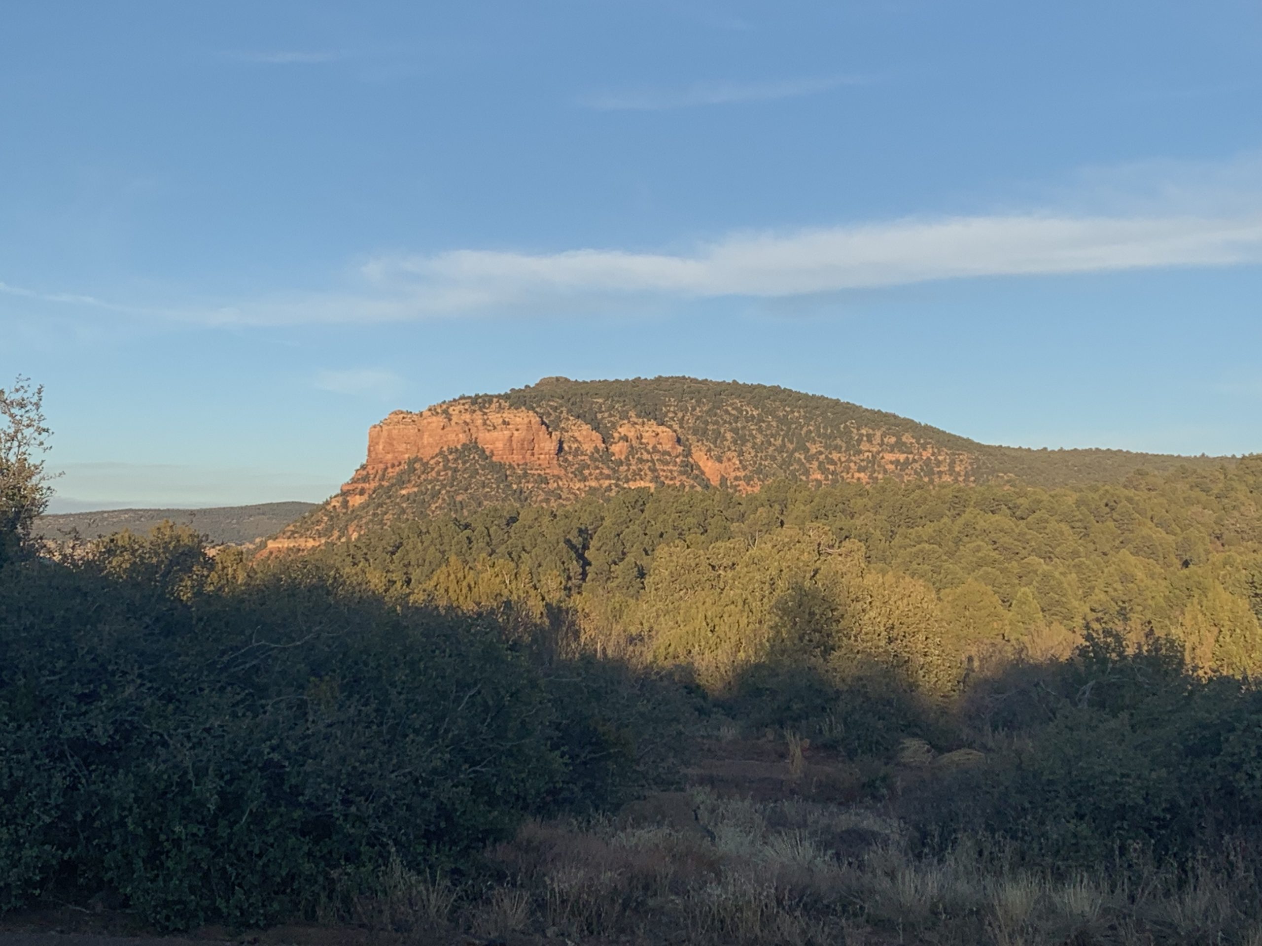
Arizona Trail Passage 25, Whiterock Mesa
Tonto National Forest
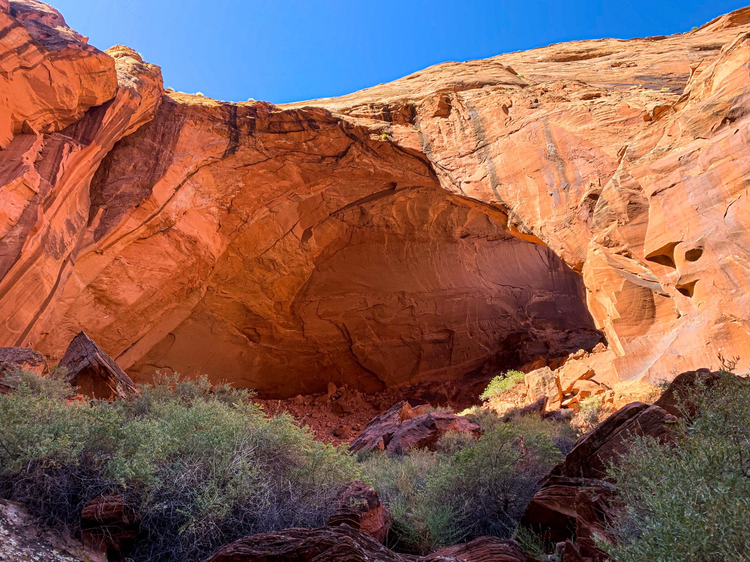
Arizona Trail: East Tank-Fossil Springs Trailhead
I’m glad for the company and we walk together for a while. The road condition is terrible – lots of loose basalt – and the going is slow. We get separated briefly as they need to meet up with a friend ahead at FR 194. I finally reach the split to Strawberry and encounter them again, and their friend who picked them up flags me down and brings me a beer. Some more trail magic!
I think my biggest challenges are becoming the pack weight and the solitude. I head for a short side trip to Fossil Creek secure in the knowledge that Matt will cache some water for me at the end of the Passage. A friendly driver gives me a lift over to the Fossil Springs Trailhead. It’s going to be a long day tomorrow, so I make camp near the trail and get set to head down in the morning. Tomorrow I hope to be in the Mazatzals.

Coconino National Forest
| Passage 25 (Whiterock Mesa) | |
| AZTA Passage Info and Map | Passage 25 (Whiterock Mesa) Passage 25 Map |
| Trail Surface | Varies Pine to Hardscrabble Mesa: Dirt singletrack Hardscrabble Mesa: Rocky FR 194: Packed gravel Whiterock Mesa to descent: Dirt singletrack |
| Length (mi) | 22.7 |
| Elevation Change (ft), north to south | Whiterock Mesa: 2661 up, 87 down Hardscrabble Mesa: 1745 up, 1263 down |
| Season | September-April |
| Potential Water Sources | Oak Canyon Spring Whiterock Spring Polk Spring |
| Trailheads | North: Pine Twin Buttes (FR 194) South: East Verde River (inaccessible by car) Doll Baby |
| Trailhead Access | North: Paved road (AZ-87) Middle: Graded dirt road (FR 194) South: Foot access only Doll Baby Trailhead accessible by car, 4 mi hike to East Verde River |
| Possible Resupply Points | Pine |
| ATA-Rated Difficulty | Whiterock Mesa: Easy Hardscrabble Mesa: Moderate |
| Threats | Heat – wear a cotton shirt so you can soak it. Synthetics aren’t great in the desert. Hypothermia – nights are generally about 30°F cooler than days in Arizona regardless of the time of year. Consider this in packing gear. Mornings can be cool year-round. Hyponatremia – “drunk on water.” To avoid, ensure adequate salt & electrolyte intake and ensure you eat as well as drink water. Symptoms are almost identical to dehydration, but drinking more makes it worse. Prevention is by far the best solution. Dehydration Lightning |
| Permits Required? | No |
| Cell Service? | Decent for area |
| Ecosystems Traversed | Rocky Mountain Montane Conifer Forest (north of Oak Spring Canyon) Great Basin Conifer Woodland |
| Highlights | Oak Spring Canyon Views of Mazatzal Mountains |
| Great Basin Conifer Woodland | Rocky Mountain Montane Conifer Woodland | |
| Common Trees/Shrubs | * Arizona alder * Holly-leaf buckthorn * Junipers * Oaks, including Arizona oak, canyon live oak, Emory oak, Gambel oak, scrub-live oak * Piñon pine * Red barberry * Serviceberry * Silktassels * Skunkbush * sugar sumac | * Ponderosa Pine * Southwestern white pine * Subalpine fir * White fir * Rocky Mountain maple * Bigtooth maple * Grey alder * Red birch * Red osier dogwood * Cliffbush * Mallow ninebark * New Mexican locust * huckleberry * bilberries |
| Common herbaceous plants | * Buckwheats * Globemallows * Lupines * Penstemons * Sego-lily * Wormwood | * fringed brome * Geyer’s sedge/elk sedge * Ross’ sedge * Bronze sedge/dry land sedge/hillside sedge/hay sedge/Fernald’s hay sedge * screwleaf muhly * bluebunch wheatgrass * Spruce-fir fleabane * wild strawberry/Virginia strawberry * Small-flowered woodrush * mountain sweet Cicely * bittercress ragwort * western meadow-rue * Fendler’s meadow-rue |
| Common succulents | * beehive cactus * Claret cup hedgehog cacti * Golden-flowered agave * Parry’s agave * Prickly pear cacti * Whipple cholla * Tonto Basin agave |
One thought on “Amazing, Spectacular Arizona Trail Thruhiking – Pine Ridge-FR 194”