Arizona Trail, Passage 22 (Saddle Mountain) Part II
AZT Backpacking, Day 54
Trans-Arizona/Utah Hike Day 61
Welcome back to Aspen’s Tracks, thruhiking the Arizona Trail southbound from Utah to Mexico. Today’s route covers backpacking the stretch of Passage 22, Saddle Mountain, between my first night’s camp on the passage near McFarland Canyon and Sycamore Canyon. You can find today’s hiking logistics below the photo documentation and trail journal of the route.
In the land of Arizona
Through desert heat or snow
Winds a trail for folks to follow
From Utah to Old Mexico
It’s the Arizona Trail
A pathway through the great Southwest
A diverse track through wood and stone
Your spirit it will test
Oh, sure you’ll sweat and blister
You’ll feel the miles every day
You’ll shiver at the loneliness
Your feet and seat will pay
But you’ll see moonlight on the borderlands
You’ll see stars on the Mogollon
You’ll feel the warmth of winter sun
And be thrilled straight through to bone
The aches and pains will fade away
You’ll feel renewed and whole
You’ll never be the same again
With Arizona in your soul
Along the Arizona Trail
A reverence and peace you’ll know
Through deserts, canyons, and mountains
From Utah to Old Mexico
-“The Arizona Trail,” Dale R. Shewalter
This stretch of the Arizona Trail takes me from just south of McFarland Canyon past Saddle Mountain and down to Sycamore Canyon, completing Passage 22 and entering Passage 21, Pine Mountain and the southern Mazatzals.
McFarland Canyon-Mazatzal Wilderness Boundary
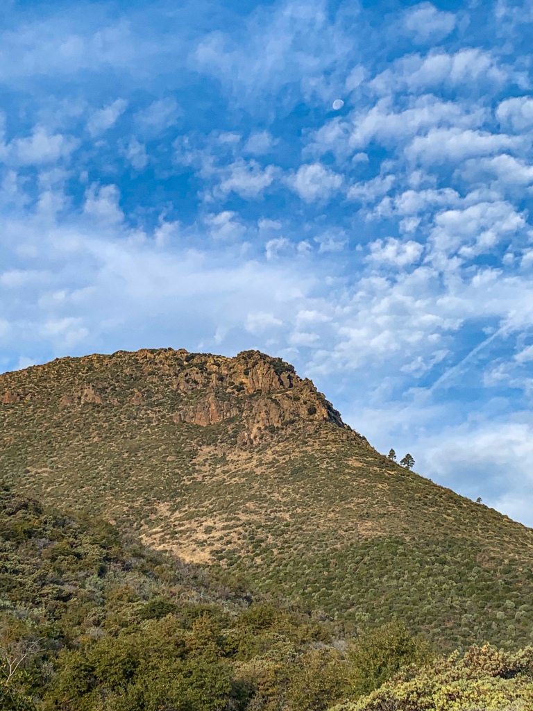
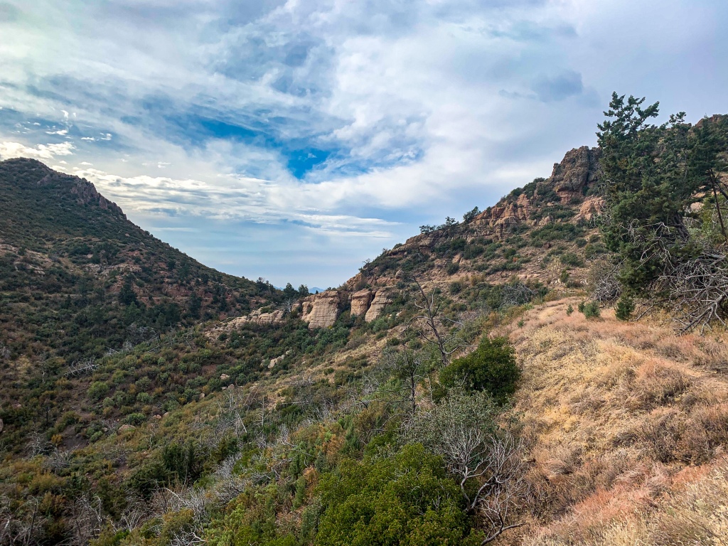
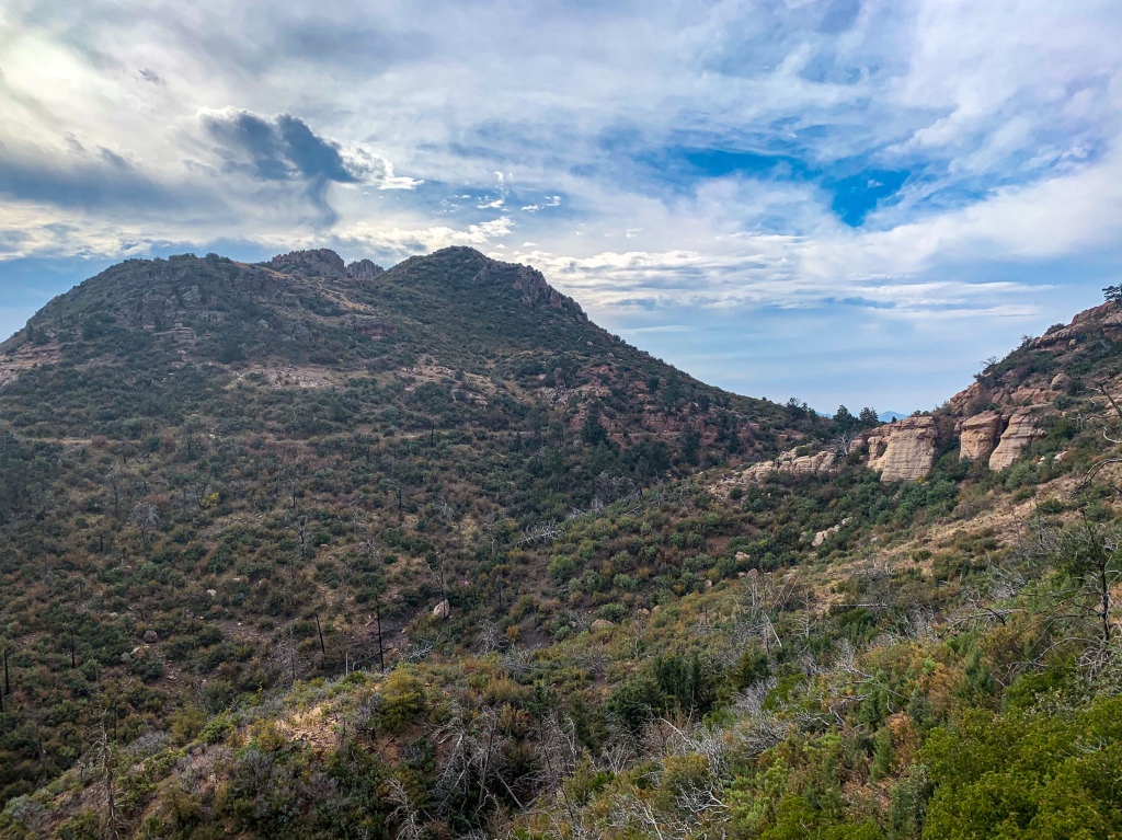
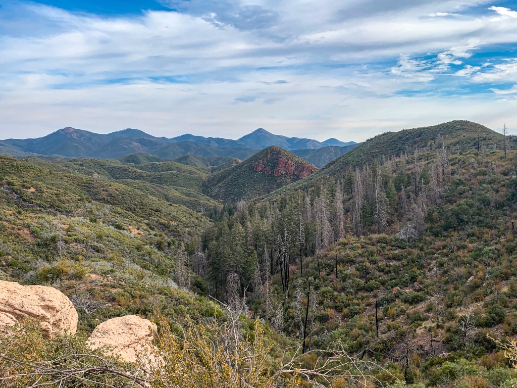
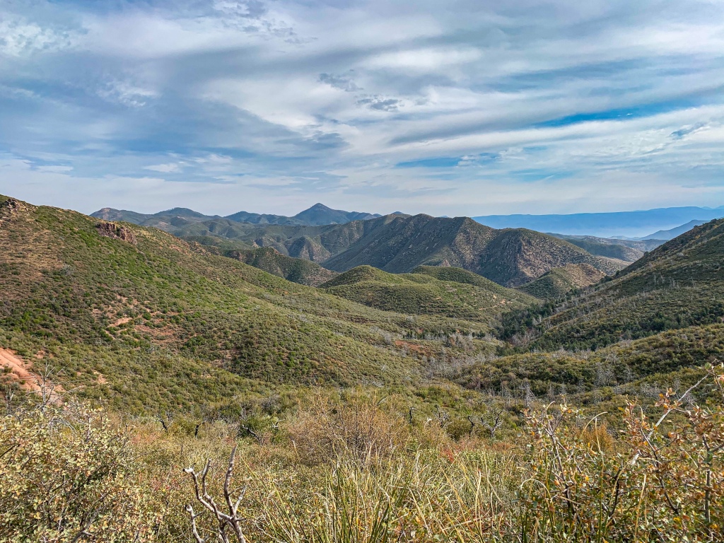
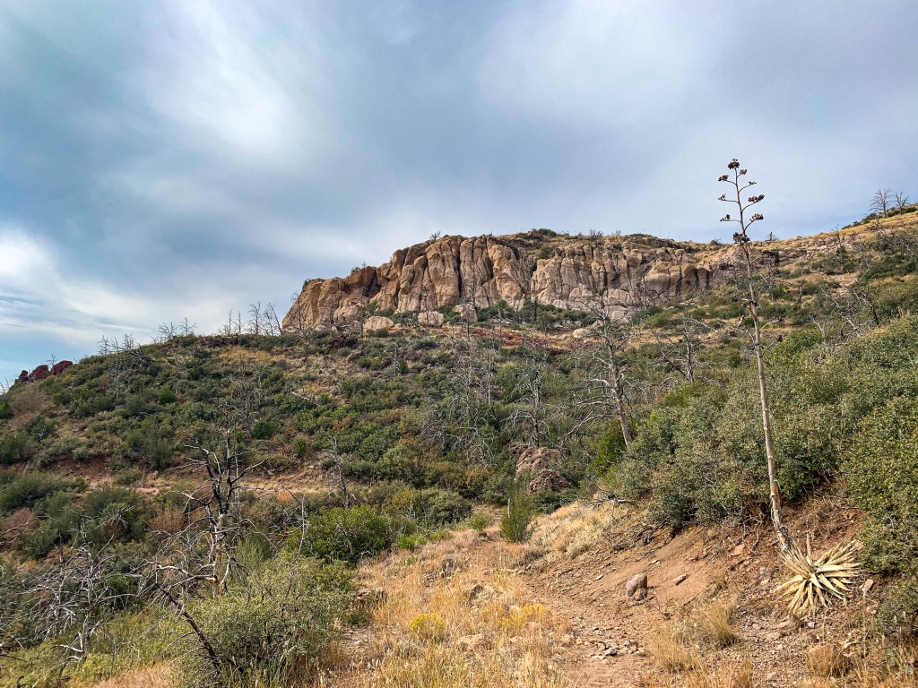
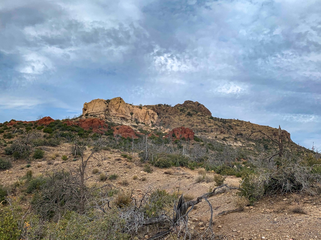
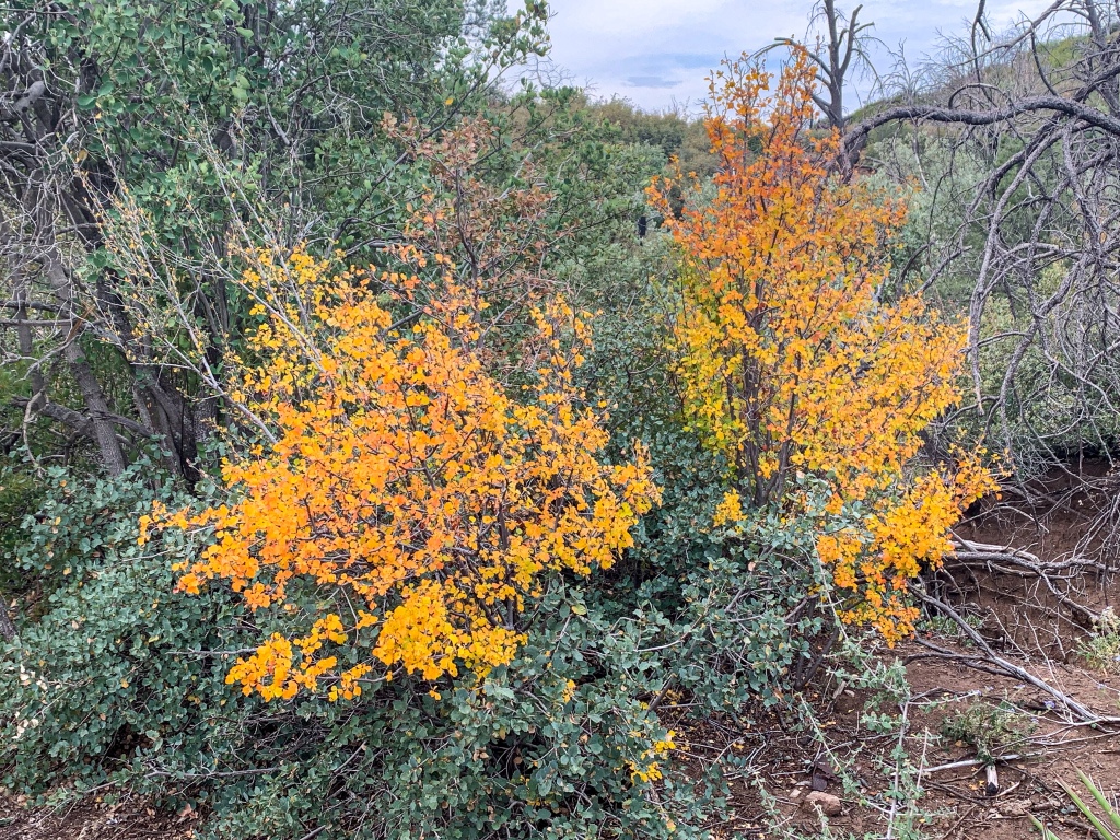
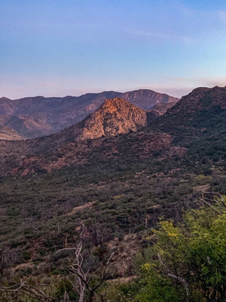
The trail traverses the mid slopes of the south-central Mazatzals, which seem more separated from one another than the continuous chain that made up the mountains until now. The views remain incredible, probably partially as a result of the fire resulting in a much more shrub-based vegetation community predominating.
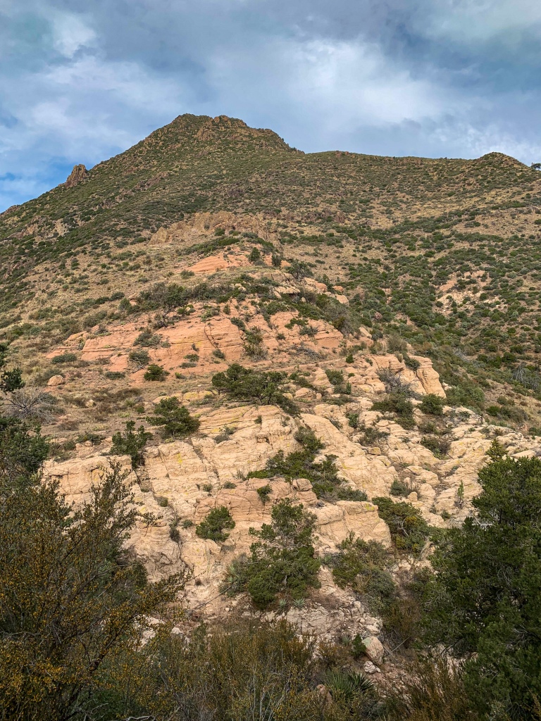
Or Sheep Mountain and Saddle Mountain make notable appearances, and there are glimpses of the geographical feature as well as the town of Tonto Basin as the backpacker (or hiker) makes their way along the trail. Multicolored cliffs – appearing to be sandstone – rise above the trail as well.
AZT Passage 21, Saddle Mountain
Mazatzal Wilderness
Tonto National Forest
AZT Passage 21, Saddle Mountain
Mazatzal Wilderness
Tonto National Forest
AZT Passage 21, Saddle Mountain
Mazatzal Wilderness
Tonto National Forest
AZT Passage 21, Saddle Mountain
Mazatzal Wilderness
Tonto National Forest
AZT Passage 21, Saddle Mountain
Mazatzal Wilderness
Tonto National Forest
AZT Passage 21, Saddle Mountain
Mazatzal Wilderness
Tonto National Forest
AZT Passage 21, Saddle Mountain
Mazatzal Wilderness
Tonto National Forest
Arizona Trail Passage 21, Saddle Mountain
Mazatzal Wilderness
Tonto National Forest
Arizona Trail: Mazatzal Wilderness Boundary-Sunflower
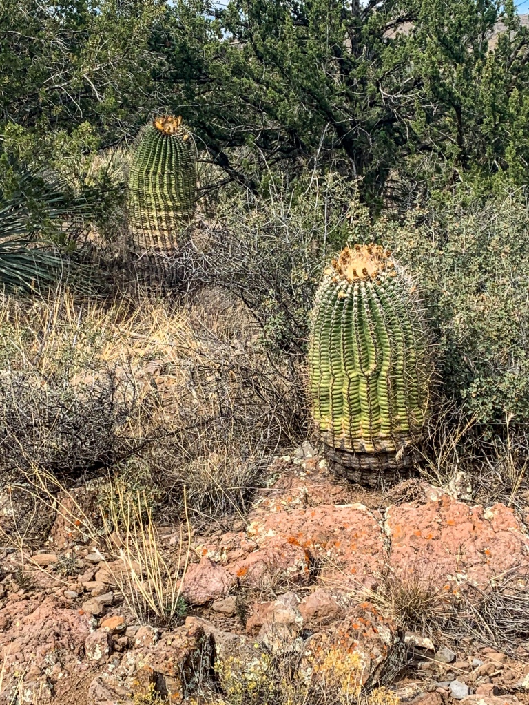
Backpacking south, the trail exits the Mazatzal Wilderness for the final time and descends toward Sunflower and AZ-87, passing another mid-passage access point on the way. As it does, the vegetation changes – barrel cactus make an appearance, showing the warmer and drier ecology of the lower slopes of the mountains. When it comes to resupply towns, Sunflower is more a community than a full town, it appears, at least from a services perspective. If you need supplies from here, your best options are probably metro Phoenix, Payson, or Tonto Basin.
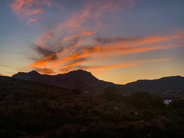
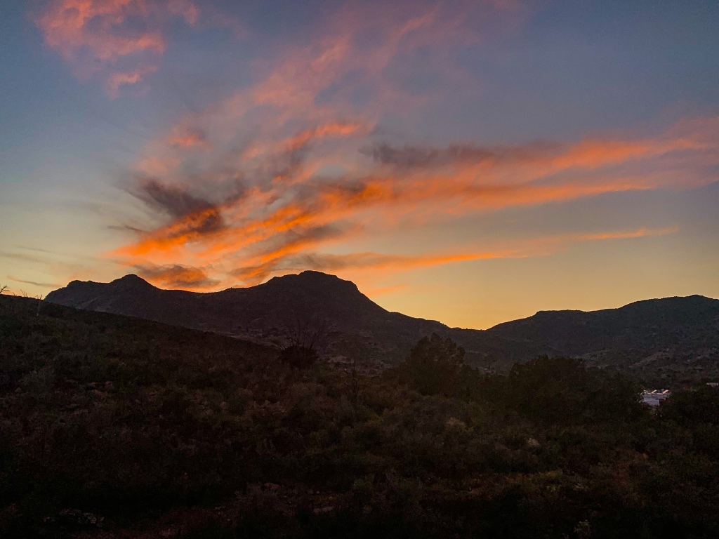
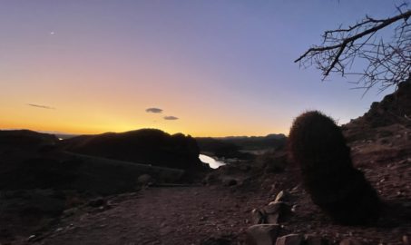
I had a box shipped to the latter; now the question becomes whether it is best to stop there now, or try and hitch a ride from Roosevelt Lake at the south end of the Mazatzals? After consideration, I opt for the latter. We’ll see if it proves to be the right choice. There’s a resupply box at AZ-87 before crossing through a tunnel under the road and entering Passage 21; I took advantage and then made the crossing. Camp comes near Sycamore Creek, a great water source just south of 87 before beginning the climb into the southern Mazatzals. Unlike yesterday, there are no playful foxes – but there’s another beautiful sunset to wrap the day.
AZT Passage 21, Saddle Mountain
Mazatzal Wilderness
Tonto National Forest
AZT Passage 22, Saddle Mountain
Tonto National Forest
AZT Passage 21, Pine Mountain
Tonto National Forest
Passage 21, Pine Mountain
Tonto National Forest
The Mazatzal Mountains
This stretch of the Arizona Trail lies within the Mazatzal Wilderness in the Tonto National Forest. The origin of the name “Mazatzal” is unclear, though one possible meaning is a Nahuatl term meaning “place of the deer.” The Wilderness, which the trail will remain within now until just shy of Sunflower in the central Mazatzals, is about 390 square miles in size and surrounds the Mazatzal Mountains. It was one of the original Wilderness Areas designated upon the passage of the Wilderness Act in 1964.
The Mazatzal Mountains themselves are an incredible place. Formed during an orogeny (a term referring to the process that creates mountains) when Arizona was a coastal region on the margin of what became North America, the Mazatzals gained their rugged nature as tectonic collisions compressed rock, lifting it and thrusting it above other rocks (overthrust). We’ll see the resulting folding in the entry of a short side hike on the Barnhardt Trail. Mazatzal Peak, the highest point of the Northern Mazatzals, towers 1700 ft above the trail with a jagged west face that makes it appear as though half the mountain was simply cut away. This passage passes through the northern half of the full range.
Unfortunately the area was greatly impacted by the Willow & Sunflower Fires, which burned much (though not all, as we will see) of the old ponderosa forest that had made the mountains one of the most popular long-distance stretches of the Arizona Trail.
Yet the incredible geology, solitude, sunsets, and views remain for the hardy and prepared souls who venture into this special place. Bagworms spin magnificent webs here, and temperatures are relatively tolerable outside of winter, when snow can make stretches impassable for those without adequate preparation.
Arizona Trail, Passage 22 Logistics & Ecology
| Passage 22 (Saddle Mountain) | |
| AZTA Passage Map | AZTA Passage 22 Profile |
| AZTA Elevation Profile | AZTA Elevation Profile |
| AZTA Passage Map | Passage 22 (Saddle Mountain) |
| Trail Surface | Dirt singletrack |
| Length (Mi) | 24.3 |
| Season | All year, but snow can make sections impassable in winter. |
| Potential Water Sources | Thicket Spring (Mi 402.3 NB, 386.4 SB) Sycamore Creek Canyon (mi 400.6 NB, 388.1 SB) Creek (mi 392.5 NB, 396.2 SB) Wash (mi 391.5 NB, 397.2 SB) Stock Pond (mi 390.5 NB, 398.2 SB) Rock Spring (mi 388.9 NB, 399.8 SB) Hiker box at AZ 87 (mi 386.7 NB, 402 SB) |
| Trailheads | North: Mt Peeley Trailhead South: Arizona 87 near Sunflower |
| Trailhead Access | North: Foot & 0.5 mi hike on Cornucopia Trail from dirt road trailhead South: |
| Wilderness | 50% |
| Possible resupply points | None |
| ATA-Rated Difficulty | Moderate |
| Potential campsites (mileages S to N) | There are a number of options, particularly on the southern third of the passage. There are also good sites in the area around McFarland Canyon and a few sites just south of that point. |
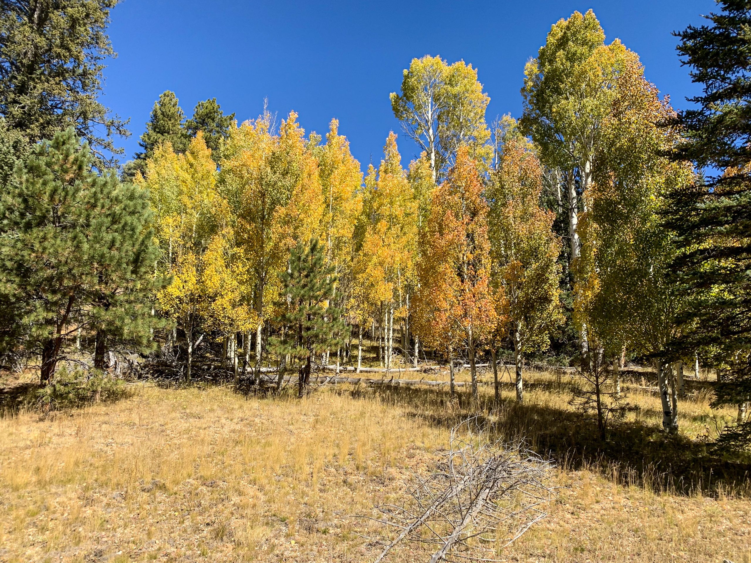
| Ecosystems Traversed | Interior Chaparral Great Basin Conifer Woodland Rocky Mountain Montane Conifer Woodland Relict Conifer Woodland |
| Interior Chaparral | Great Basin Conifer Woodland | Rocky Mountain Montane Conifer Woodland | |
| Common Trees/Shrubs | * Birchleaf Mahogany * Ceanothus * Holly-leaf buckthorn * Manzanita * Shrub live oak * Silktassels * Stansbury cliffrose | * Arizona alder * Holly-leaf buckthorn * Junipers * Oaks, including Arizona oak, canyon live oak, Emory oak, Gambel oak, scrub-live oak * Piñon pine * Red barberry * Serviceberry * Silktassels * Skunkbush * sugar sumac | * Ponderosa Pine * Southwestern white pine * Subalpine fir * White fir * Rocky Mountain maple * Bigtooth maple * Grey alder * Red birch * Red osier dogwood * Cliffbush * Mallow ninebark * New Mexican locust * huckleberry * bilberries |
| Common herbaceous plants | * Buckwheats * Globemallows * Lupines * Penstemons * Sego-lily * Wormwood | * fringed brome * Geyer’s sedge/elk sedge * Ross’ sedge * Bronze sedge/dry land sedge/hillside sedge/hay sedge/Fernald’s hay sedge * screwleaf muhly * bluebunch wheatgrass * Spruce-fir fleabane * wild strawberry/Virginia strawberry * Small-flowered woodrush * mountain sweet Cicely * bittercress ragwort * western meadow-rue * Fendler’s meadow-rue | |
| Common succulents | * Agaves – golden flowered, Parry’s, Toumey’s * Banana & soap tree yucca * Barrel cactus * beargrass * beehive cactus * buckhorn cholla * Cane Cholla * hedgehog cacti * prickly pear cacti * Rock echeveria * Sotol * Whipple’s cholla | * beehive cactus * Claret cup hedgehog cacti * Golden-flowered agave * Parry’s agave * Prickly pear cacti * Whipple cholla * Tonto Basin agave |
Kelly MacKay
Nice