Arizona Trail: Passage 24 (Red Hills), Part II
AZT Backpacking Day 46
Trans-Arizona/Utah Hiking Day 53
Welcome back to Aspen’s Tracks, thruhiking the Arizona Trail southbound from Utah to Mexico. Today’s route covers backpacking the stretch of Passage 24, the Red Hills, between the East Verde River and the Red Hills Ridge. You can find today’s hiking logistics below the photo documentation and trail journal of the route.
If you missed my last entry covering my passage from Polk Spring across the East Verde River to the initial ascent into the Red Hills, that can be found here. The next entry will cover the stretch of the Red Hills across the Red Hills Ridge and to the Red Hills junction in the Park, the start of the Mazatzal Divide. If you enjoy these accounts, please do subscribe to follow along to make sure that you don’t miss out on here or any future accounts to come!
In the land of Arizona
Through desert heat or snow
Winds a trail for folks to follow
From Utah to Old Mexico
It’s the Arizona Trail
A pathway through the great Southwest
A diverse track through wood and stone
Your spirit it will test
Oh, sure you’ll sweat and blister
You’ll feel the miles every day
You’ll shiver at the loneliness
Your feet and seat will pay
But you’ll see moonlight on the borderlands
You’ll see stars on the Mogollon
You’ll feel the warmth of winter sun
And be thrilled straight through to bone
The aches and pains will fade away
You’ll feel renewed and whole
You’ll never be the same again
With Arizona in your soul
Along the Arizona Trail
A reverence and peace you’ll know
Through deserts, canyons, and mountains
From Utah to Old Mexico
-“The Arizona Trail,” Dale R. Shewalter
Arizona Trail: Red Hills
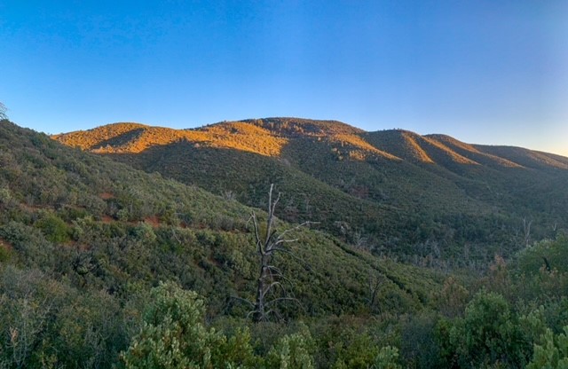
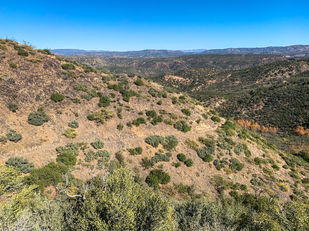
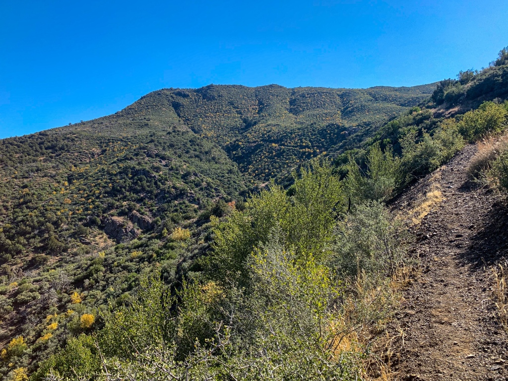
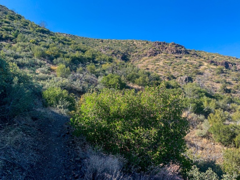
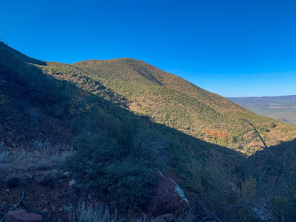
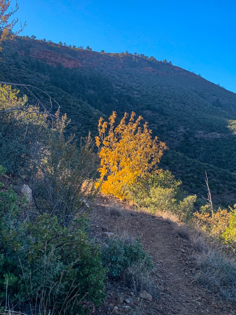
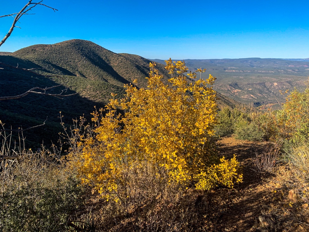
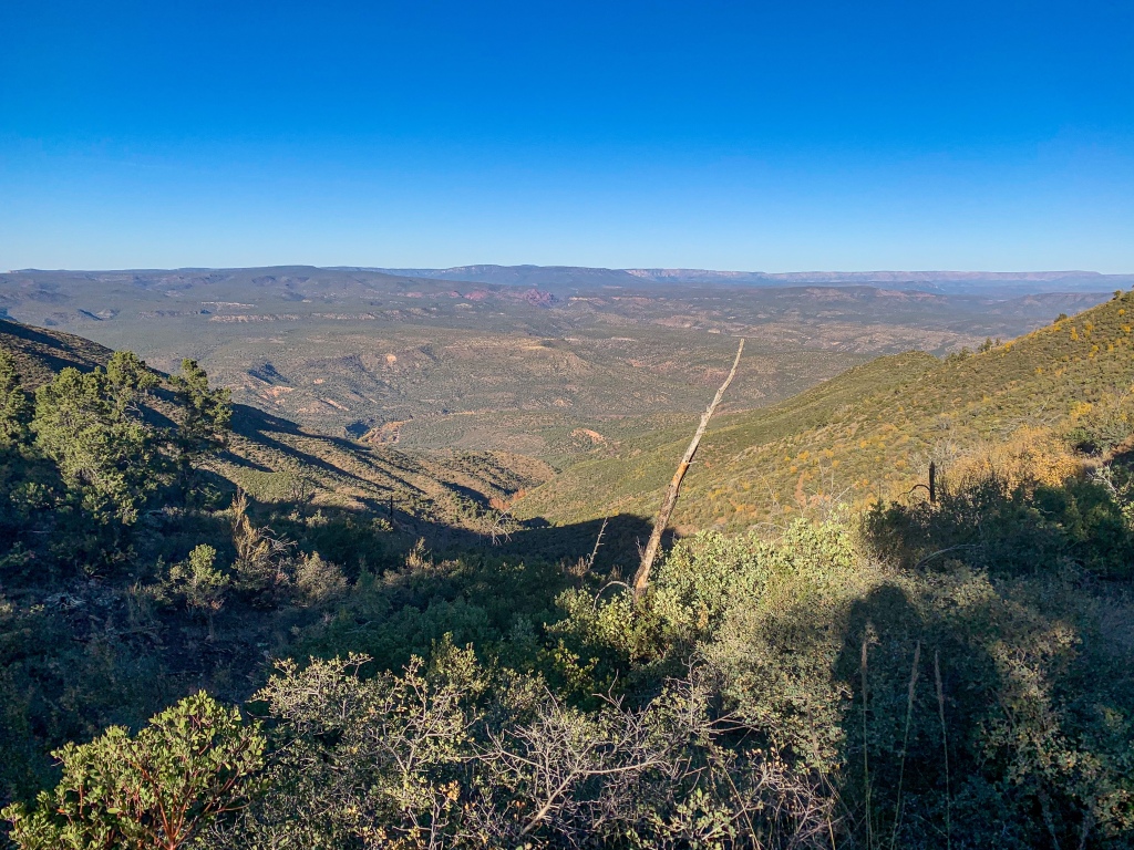
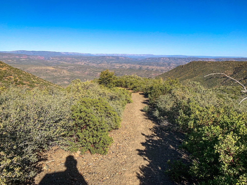
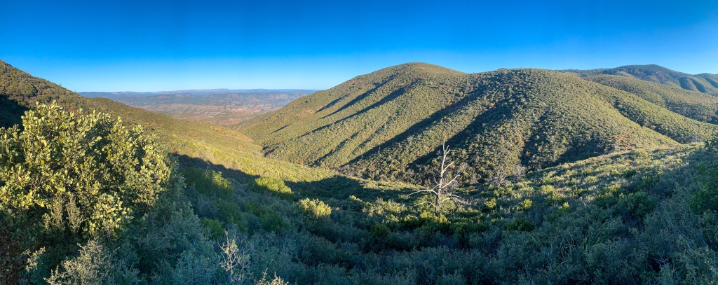
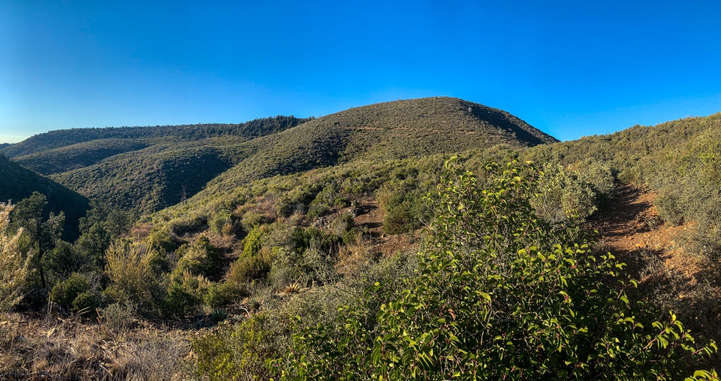
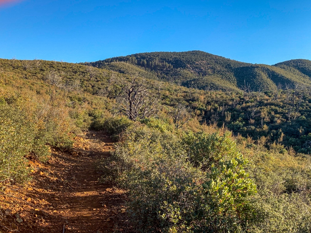
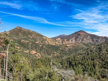
The trail begins the long ascent into the Red Hills, on a path that seems like it might be an old fire road. The grade is steady but not overwhelming, though quite tiring since it is unrelenting. It’s also quite exposed; according to the volunteer I mentioned in the last post, a fire burned the tree cover here. On the positive side, the views that were exposed as a result were quite expansive, reaching to the Mogollon Rim & beyond. On the negative, the full exposure increases water consumption and adds about 10 degrees to the perceived temperature due to the combined impacts of sun and elevation.
Arizona Trail, Passage 24 (Red Hills)
Mazatzal Wilderness
Tonto National Forest
Arizona Trail, Passage 24 (Red Hills)
Mazatzal Wilderness
Tonto National Forest
Arizona Trail, Passage 24 (Red Hills)
Mazatzal Wilderness
Tonto National Forest
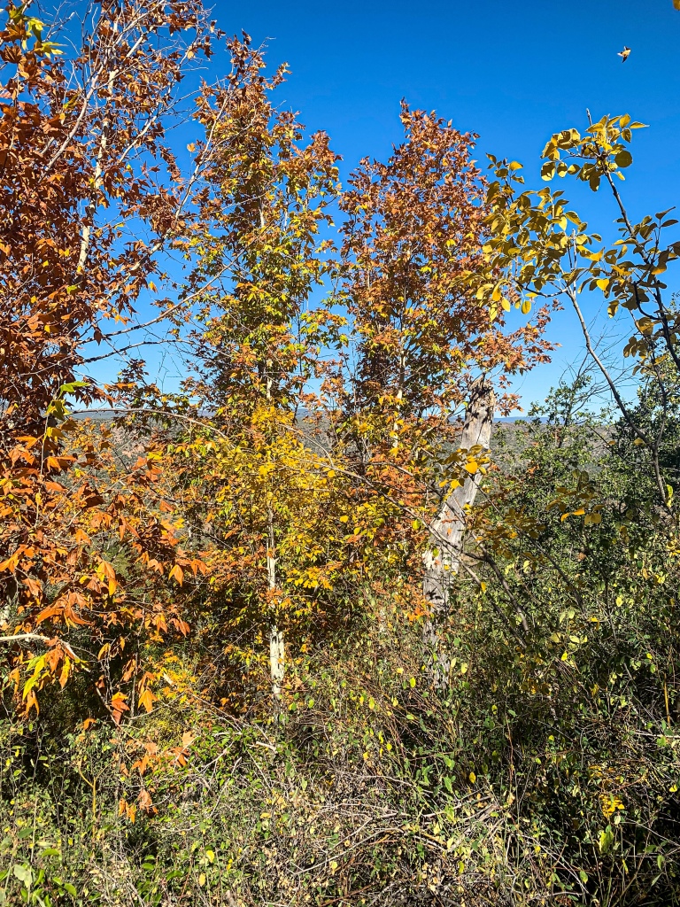
The trail is now well into the Mazatzal Wilderness, about 390 square miles in size and one of the original wilderness areas designated in 1964 following passage of the Wilderness Act. The trail will pass through both mountain ranges – first the Red Hills, then the Mazatzals. The Red Hills run perpendicular to the northern Mazatzal Mountains; spending any amount of time in the Hills reveals the reasoning for their name, and the views of both the Hills and the surrounding land from the Arizona Trail is incredible. As predicted, the hike up from the East Verde River has resulted in changes to the geology, as well, though sorting out the exact type is a bit difficult given regional complexity.
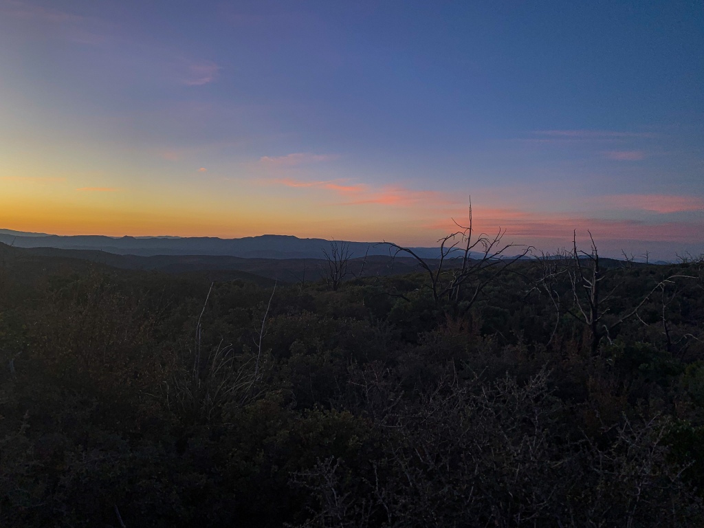
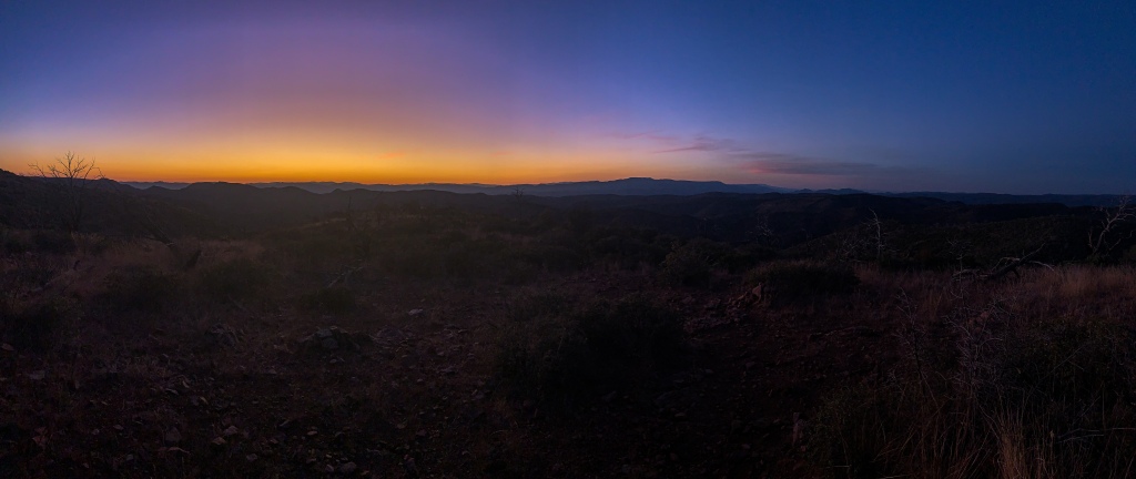
Time to rest up from the hike up into the mountains. Next time, we’ll see the continuance through the Red Hills to the start of the Mazatzal Divide segment, the true heart of the Mazatzal Wilderness, the longest stretch of the Arizona Trail within a designated wilderness area.
Arizona Trail, Passage 24 (Red Hills)
Mazatzal Wilderness
Tonto National Forest
Arizona Trail, Passage 24 (Red Hills)
Mazatzal Wilderness
Tonto National Forest

Arizona Trail, Passage 24 (Red Hills)
Mazatzal Wilderness
Tonto National Forest
Arizona Trail, Passage 24 (Red Hills)
Mazatzal Wilderness
Tonto National Forest

Arizona Trail, Passage 24 (Red Hills)
Mazatzal Wilderness
Tonto National Forest

Arizona Trail, Passage 24 (Red Hills)
Mazatzal Wilderness
Tonto National Forest
Arizona Trail, Passage 24 (Red Hills)
Mazatzal Wilderness
Tonto National Forest
Arizona Trail, Passage 24 (Red Hills)
Mazatzal Wilderness
Tonto National Forest
Arizona Trail, Passage 24 (Red Hills)
Mazatzal Wilderness
Tonto National Forest
Arizona Trail, Passage 24 (Red Hills)
Mazatzal Wilderness
Tonto National Forest

Arizona Trail, Passage 24 (Red Hills)
Mazatzal Wilderness
Tonto National Forest
Arizona Trail, Passage 24 (Red Hills)
Mazatzal Wilderness
Tonto National Forest
Arizona Trail, Passage 24 (Red Hills)
Mazatzal Wilderness
Tonto National Forest

Arizona Trail, Passage 24 (Red Hills)
Mazatzal Wilderness
Tonto National Forest
Arizona Trail, Passage 24 (Red Hills)
Mazatzal Wilderness
Tonto National Forest

Arizona Trail, Passage 24 (Red Hills)
Mazatzal Wilderness
Tonto National Forest

Arizona Trail, Passage 24 (Red Hills)
Mazatzal Wilderness
Tonto National Forest
Arizona Trail, Passage 24 (Red Hills)
Mazatzal Wilderness
Tonto National Forest
Arizona Trail, Passage 24 (Red Hills)
Mazatzal Wilderness
Tonto National Forest
Trail Logistics and Ecology
| Passage 24 (Red Hills) | |
| Passage Overview | Passage Overview |
| Passage Map | Passage 24 Map |
| Passage Elevation Profile | Passage 24 Elevation Profile |
| Passage Weather | NOAA Weather |
| Trail Surface | Dirt singletrack |
| Length (Mi) | 10.9 |
| Season | All year but snow may impact higher elevations in winter and heat can impact lower elevations in summer. |
| Potential Water Sources | East Verde River Brush Springs Seeps |
| Trailheads | North: East Verde River (north). Inaccessible to cars (4 mile hike from accessible Doll Baby Ranch TH) South: Red Hills Trail Junction. Foot access only. |
| Trailhead Access | North: Foot only. 4 miles from vehicular access at Doll Baby Ranch South: Foot only. 5.75 mi from vehicular access at City Creek |
| Wilderness? | Yes |
| Possible Resupply Points | None |
| Potential campsites (mileages S to N) | Precipitous terrain limits options, but there are some spots above the climb/descent into the East Verde Valley, on the ridge traverse; and in the basin and south end near the Red Hills Trail junction |
| ATA-Rated Difficulty | Moderate |
| Hazards | Lightning (summer monsoon) Water availability Heat Communication |
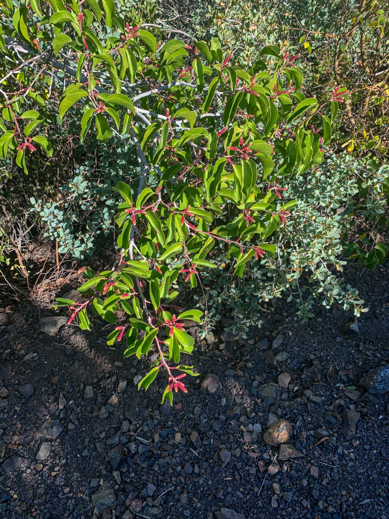
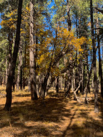
| Ecosystems Traversed | Interior Chaparral (north end) Great Basin Conifer Woodland Relict Conifer Woodland |
| Highlights | Views of the northern Mazatzal Mountains Sunsets Red rocks Ecological diversity |
| Interior Chaparral | Great Basin Conifer Woodland | Rocky Mountain Montane Conifer Woodland | |
| Common Trees/Shrubs | * Birchleaf Mahogany * Ceanothus * Holly-leaf buckthorn * Manzanita * Shrub live oak * Silktassels * Stansbury cliffrose | * Arizona alder * Holly-leaf buckthorn * Junipers * Oaks, including Arizona oak, canyon live oak, Emory oak, Gambel oak, scrub-live oak * Piñon pine * Red barberry * Serviceberry * Silktassels * Skunkbush * sugar sumac | * Ponderosa Pine * Southwestern white pine * Subalpine fir * White fir * Rocky Mountain maple * Bigtooth maple * Grey alder * Red birch * Red osier dogwood * Cliffbush * Mallow ninebark * New Mexican locust * huckleberry * bilberries |
| Common herbaceous plants | * Buckwheats * Globemallows * Lupines * Penstemons * Sego-lily * Wormwood | * fringed brome * Geyer’s sedge/elk sedge * Ross’ sedge * Bronze sedge/dry land sedge/hillside sedge/hay sedge/Fernald’s hay sedge * screwleaf muhly * bluebunch wheatgrass * Spruce-fir fleabane * wild strawberry/Virginia strawberry * Small-flowered woodrush * mountain sweet Cicely * bittercress ragwort * western meadow-rue * Fendler’s meadow-rue | |
| Common succulents | * Agaves – golden flowered, Parry’s, Toumey’s * Banana & soap tree yucca * Barrel cactus * beargrass * beehive cactus * buckhorn cholla * Cane Cholla * hedgehog cacti * prickly pear cacti * Rock echeveria * Sotol * Whipple’s cholla | * beehive cactus * Claret cup hedgehog cacti * Golden-flowered agave * Parry’s agave * Prickly pear cacti * Whipple cholla * Tonto Basin agave |
One thought on “Amazing, Spectacular Arizona Trail: Red Hills Ascent”