Arizona Trail Backpacking, Day 41, Part III
AZT Passage 27 (Highline)
Trans-Utah/Arizona Day 48

Arizona Trail, Passage 26 (Highline)
Tonto National Forest
In the land of Arizona
Through desert heat or snow
Winds a trail for folks to follow
From Utah to Old Mexico
It’s the Arizona Trail
A pathway through the great Southwest
A diverse track through wood and stone
Your spirit it will test
Oh, sure you’ll sweat and blister
You’ll feel the miles every day
You’ll shiver at the loneliness
Your feet and seat will pay
But you’ll see moonlight on the borderlands
You’ll see stars on the Mogollon
You’ll feel the warmth of winter sun
And be thrilled straight through to bone
The aches and pains will fade away
You’ll feel renewed and whole
You’ll never be the same again
With Arizona in your soul
Along the Arizona Trail
A reverence and peace you’ll know
Through deserts, canyons, and mountains
From Utah to Old Mexico
-“The Arizona Trail,” Dale R. Shewalter
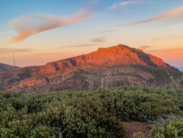
Arizona Trail: Milk Ranch Point East
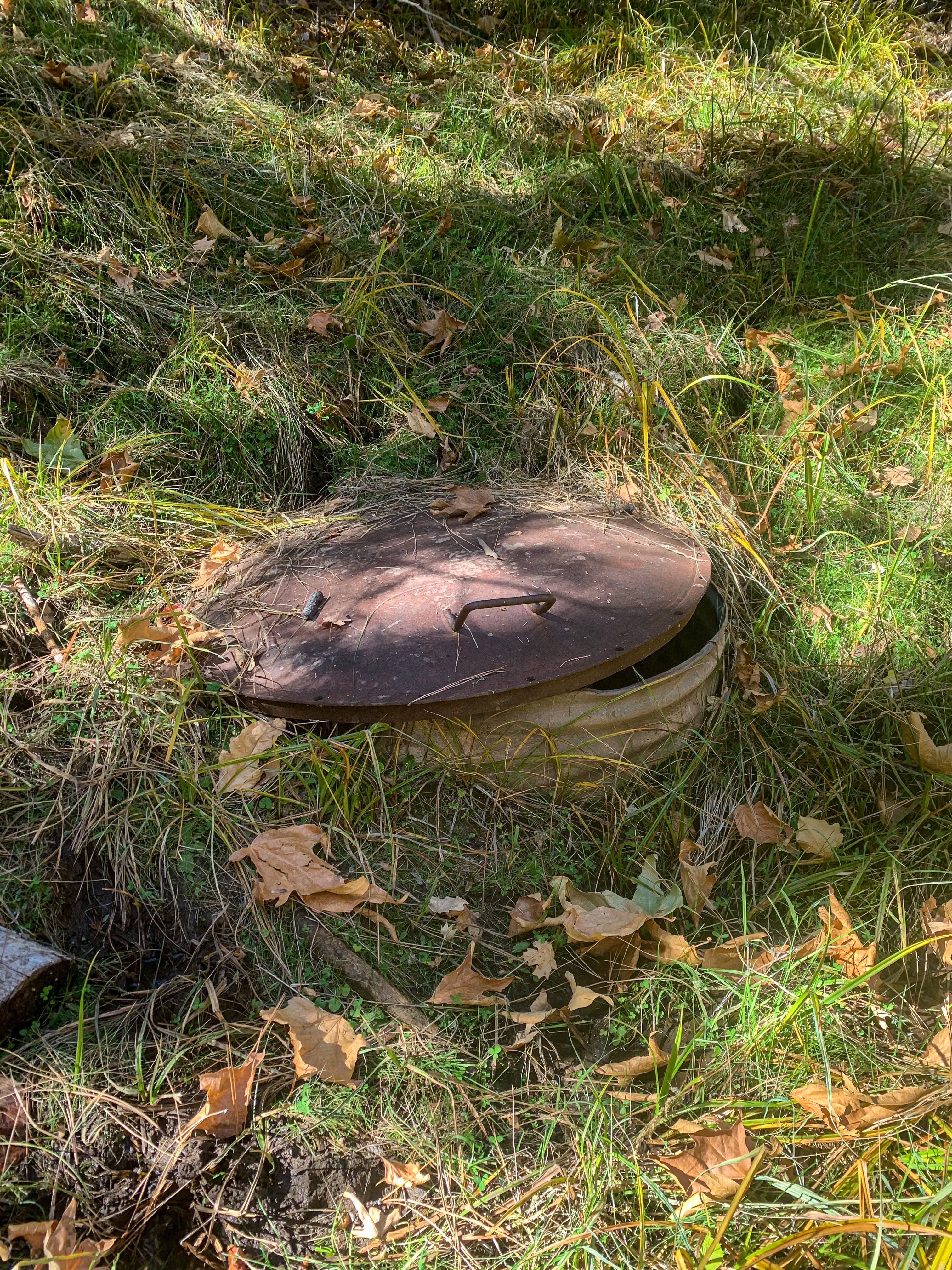
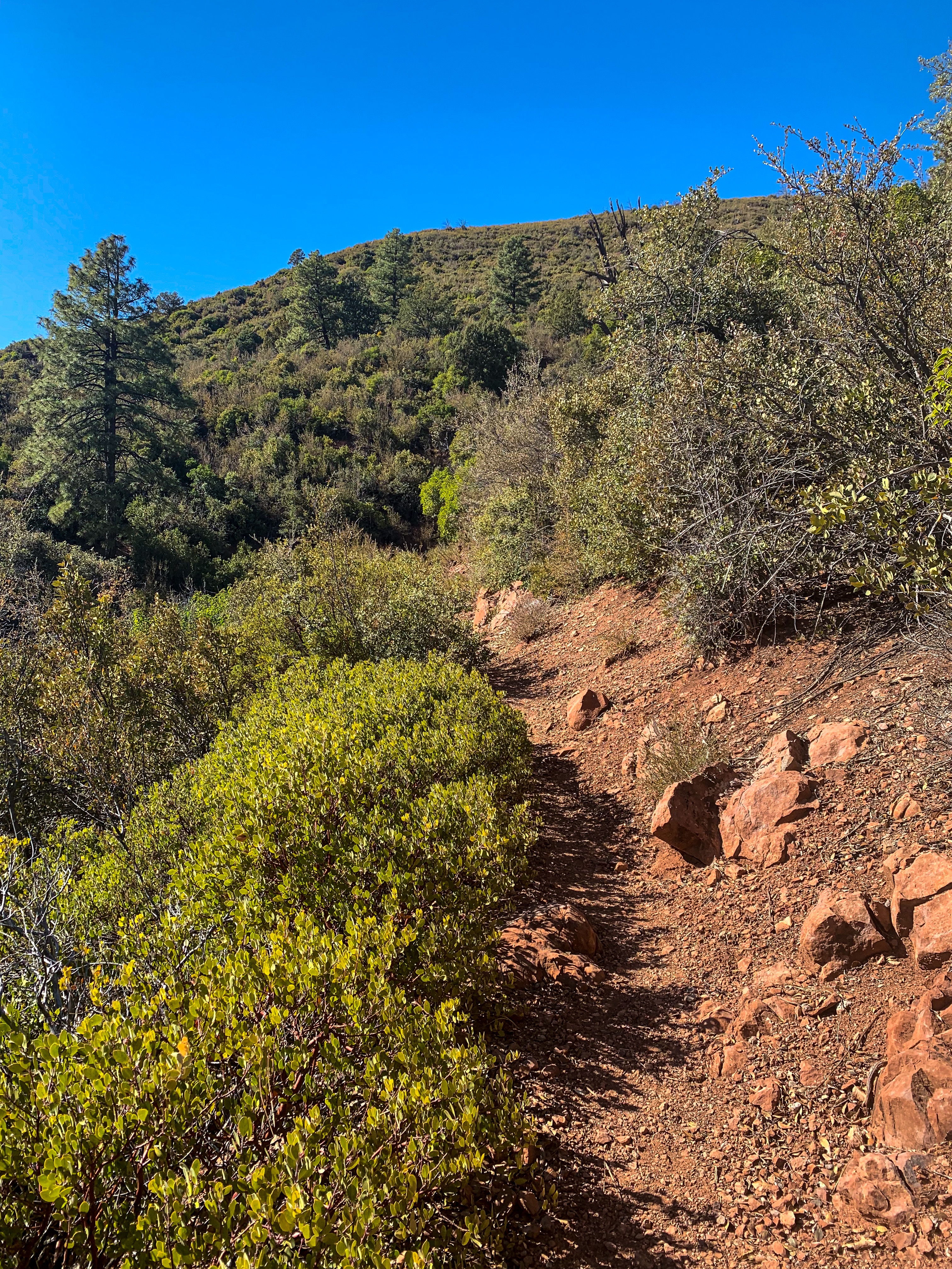
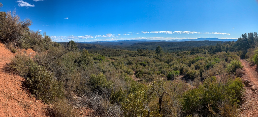
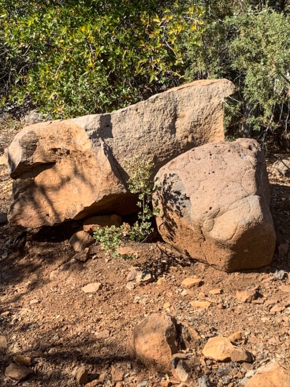
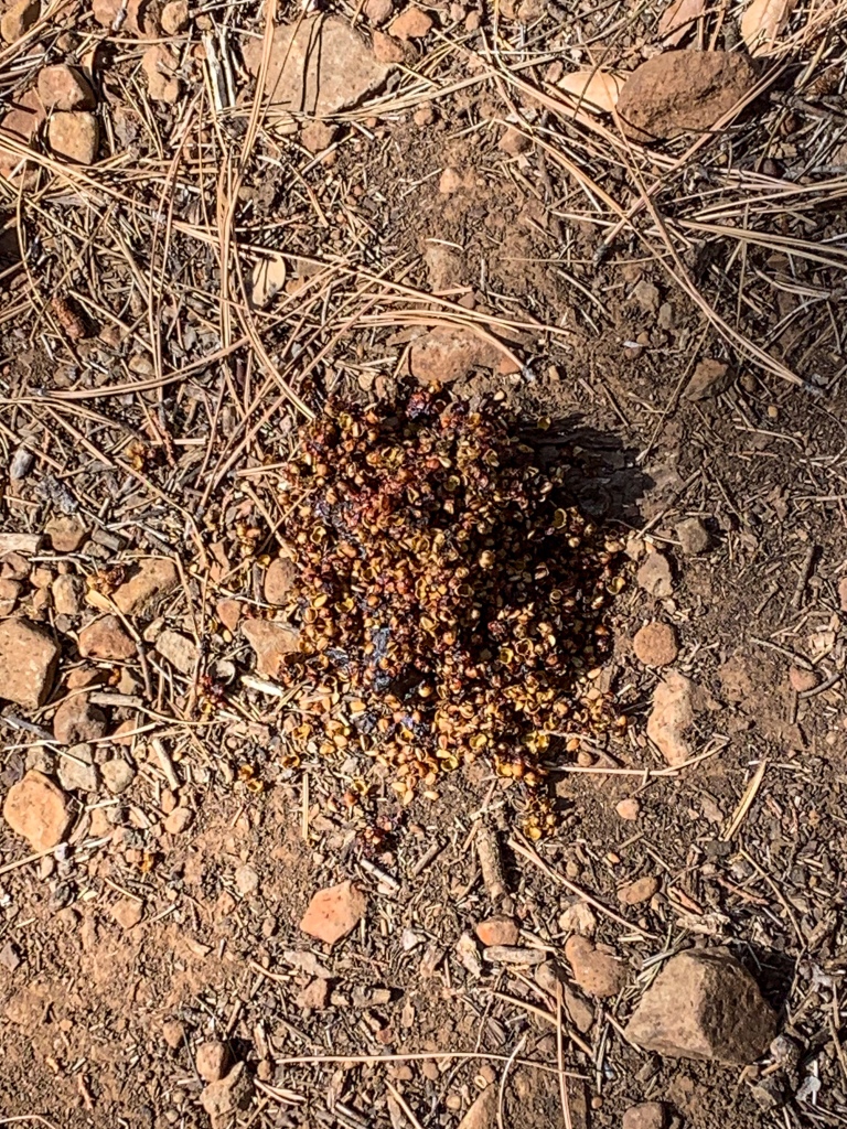
The Arizona Trail following the Highline continues its route around Milk Ranch Point, passing some artifacts – perhaps ranching or mining related, as many seem to be in Arizona. Magnificent views to the south are common, with the Mazatzal Mountains an ever-increasing sight to the southeast. There’s more evidence of bear scat, but still no evidence of a bear itself.

Arizona Trail, Passage 26 (Highline)
Tonto National Forest
Arizona Trail, Passage 26 (Highline)
Tonto National Forest

Arizona Trail, Passage 26 (Highline)
Tonto National Forest
Arizona Trail, Passage 26 (Highline)
Tonto National Forest
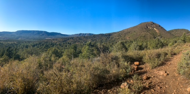
Arizona Trail: Milk Ranch Point West-Pine
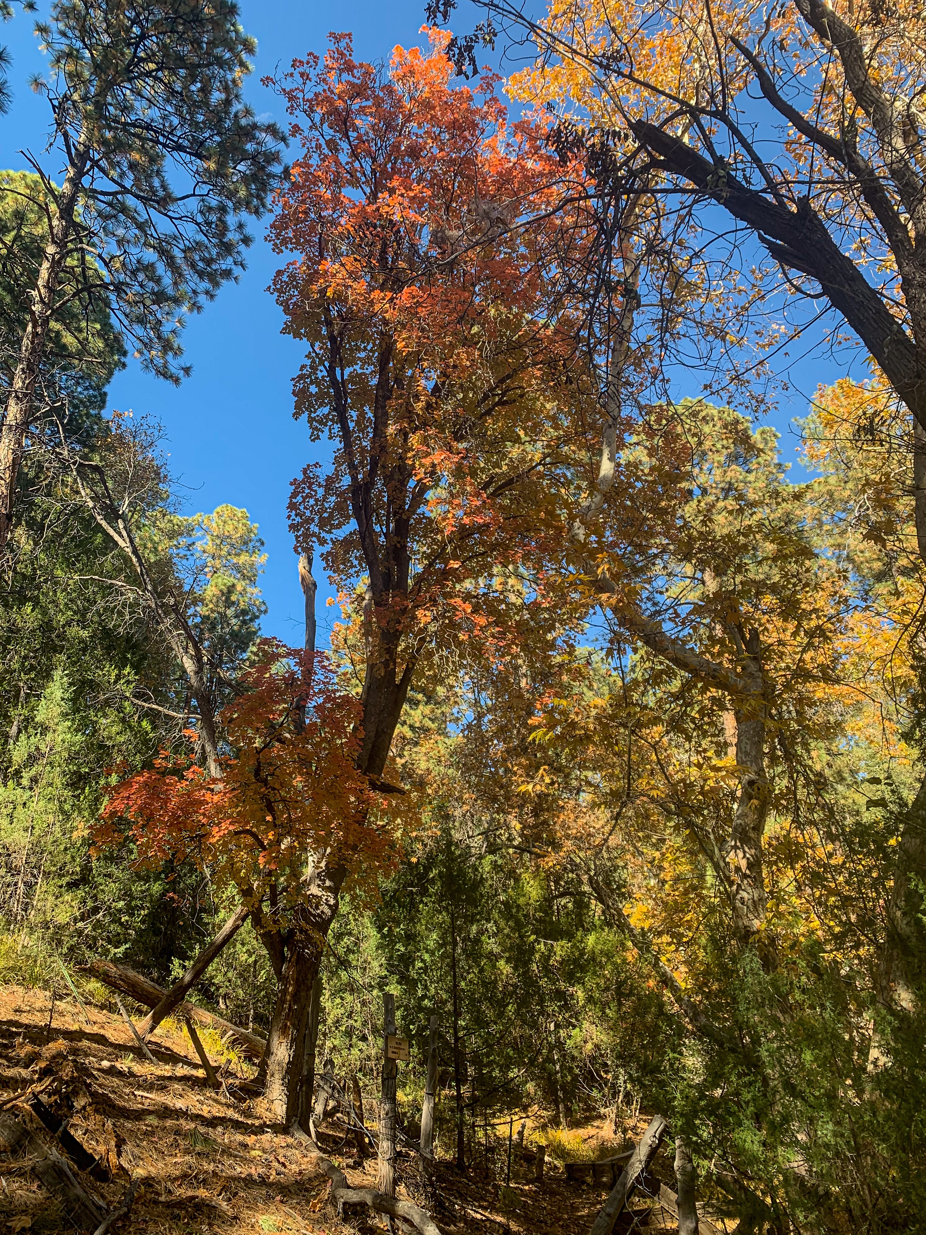
Pine Spring and Red Rock Spring are passed, and the trail rounds the point, providing a view down into Pine. Hardscrabble Mesa rises behind to the south. The trail begins a steady descent to the Pine Trailhead, from where it is a couple mile walk into the town of Pine itself. After several weeks since Flagstaff, I head straight for That Brewery, which my friend at the Canyon recommended to me. It’s time to get some real food. They also let us thruhikers camp on their volleyball court, as it turns out, which is a big help. I’ll be taking a zero here tomorrow in order to pick up a resupply box.
Arizona Trail, Passage 26 (Highline)
Tonto National Forest
Arizona Trail, Passage 26 (Highline)
Tonto National Forest
Arizona Trail, Passage 26 (Highline)
Tonto National Forest
Arizona Trail, Passage 26 (Highline)
Tonto National Forest

Arizona Trail, Passage 26 (Highline)
Tonto National Forest

Arizona Trail, Passage 26 (Highline)
Tonto National Forest

Arizona Trail, Passage 26 (Highline)
Tonto National Forest

Arizona Trail, Passage 26 (Highline)
Tonto National Forest

Arizona Trail, Passage 26 (Highline)
Tonto National Forest
Arizona Trail, Passage 26 (Highline)
Tonto National Forest
Arizona Trail, Passage 26 (Highline)
Tonto National Forest

Arizona Trail, Passage 26 (Highline)
Tonto National Forest

Arizona Trail, Passage 26 (Highline)
Tonto National Forest
| Passage 26 (Highline) | |
| Trail Surface | Dirt singletrack |
| Length (Mi) | 20.2 |
| Season | Spring-Fall |
| AZTA Passage Information | Passage 26 (Highline) |
| AZTA Passage Map | Passage 26 (Highline) Map |
| AZTA Elevation Profile | Passage 26 Elevation Profile |
| Potential Water Sources | East Verde River (mi 309.2 SOBO/479.6 NOBO) Creek (mi 311.9 SOBO/476.8 NOBO) Chase Creek (mi 312.6 SOBO/476.1 NOBO) North Sycamore Creek (314.1 SOBO/474.7 NOBO) Bray Creek (mi 315.4 SOBO/473.3 NOBO) Bear Spring (mi 316.8 SOBO/472.0 NOBO) Pine Spring (mi 322.1 SOBO/466.6 NOBO) Red Rock Spring (mi 323.2 SOBO/465.6 NOBO) |
| Trailheads | North: Mogollon Rim (mi 292.1 SOBO, 496.7 NOBO) South: AZ-87 near Pine (mi 328.1 SOBO, 460.6 NOBO) |
| Trailhead Access | North: Graded dirt road South: Paved road |
| Wilderness | No |
| Possible resupply points | Pine |
| Difficulty | Moderate |
| Potential campsites (mileages S to N) | Various LNT-compatible locations throughout |
| Threats | Heat – wear a cotton shirt so you can soak it. Synthetics aren’t great in the desert. Hypothermia – nights are generally about 30°F cooler than days in Arizona regardless of the time of year. Consider this in packing gear. Mornings can be cool year-round. Hyponatremia – “drunk on water.” To avoid, ensure adequate salt & electrolyte intake and ensure you eat as well as drink water. Symptoms are almost identical to dehydration, but drinking more makes it worse. Prevention is by far the best solution. Dehydration Lightning |
| Permits Required? | No |
| Cell service? | Limited |
| Ecosystems traversed | Rocky Mountain Montane Conifer Forest |
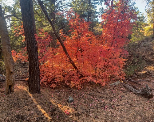
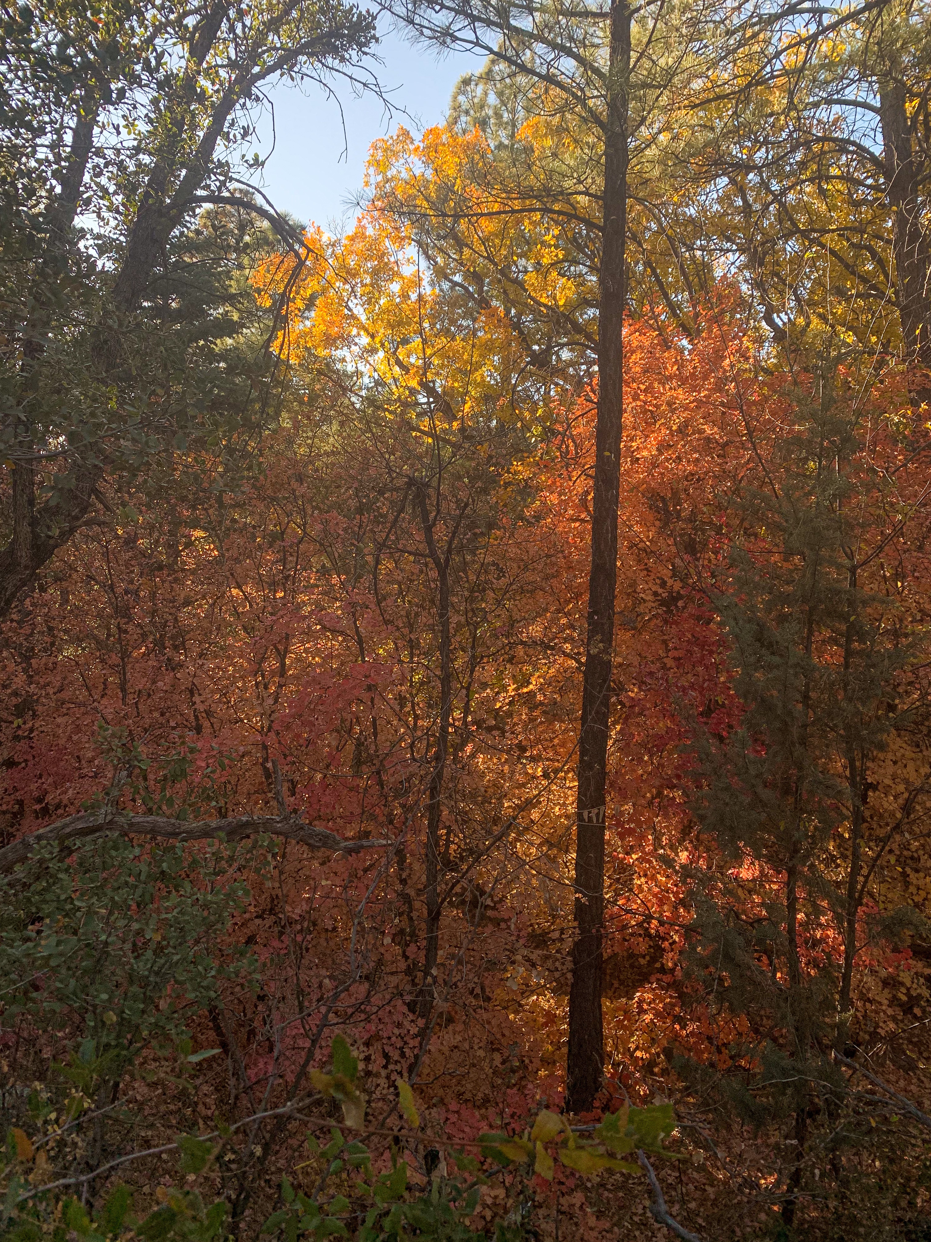
| Highlights | Mogollon Rim, southern boundary of Colorado Plateau Fall foliage Ecological diversity Extensive views |
| Weather | Current Passage 26 Weather (NWS) |
| Interior Chaparral | Great Basin Conifer Woodland | Rocky Mountain Montane Conifer Woodland | |
| Common Trees/Shrubs | * Birchleaf Mahogany * Ceanothus * Holly-leaf buckthorn * Manzanita * Shrub live oak * Silktassels * Stansbury cliffrose | * Arizona alder * Holly-leaf buckthorn * Junipers * Oaks, including Arizona oak, canyon live oak, Emory oak, Gambel oak, scrub-live oak * Piñon pine * Red barberry * Serviceberry * Silktassels * Skunkbush * sugar sumac | * Ponderosa Pine * Southwestern white pine * Subalpine fir * White fir * Rocky Mountain maple * Bigtooth maple * Grey alder * Red birch * Red osier dogwood * Cliffbush * Mallow ninebark * New Mexican locust * huckleberry * bilberries |
| Common herbaceous plants | * Buckwheats * Globemallows * Lupines * Penstemons * Sego-lily * Wormwood | * fringed brome * Geyer’s sedge/elk sedge * Ross’ sedge * Bronze sedge/dry land sedge/hillside sedge/hay sedge/Fernald’s hay sedge * screwleaf muhly * bluebunch wheatgrass * Spruce-fir fleabane * wild strawberry/Virginia strawberry * Small-flowered woodrush * mountain sweet Cicely * bittercress ragwort * western meadow-rue * Fendler’s meadow-rue | |
| Common succulents | * Agaves – golden flowered, Parry’s, Toumey’s * Banana & soap tree yucca * Barrel cactus * beargrass * beehive cactus * buckhorn cholla * Cane Cholla * hedgehog cacti * prickly pear cacti * Rock echeveria * Sotol * Whipple’s cholla | * beehive cactus * Claret cup hedgehog cacti * Golden-flowered agave * Parry’s agave * Prickly pear cacti * Whipple cholla * Tonto Basin agave |