Arizona Trail Passage 25: Whiterock Mesa (Part III) and 24 (Red Hills)
AZT Backpacking Day 49
Trans-Arizona/Utah Hike Day 56
Welcome back to Aspen’s Tracks, thruhiking the Arizona Trail southbound from Utah to Mexico. Today’s route covers backpacking the stretch of Passages 25 (Whiterock Mesa) and 24 (Red Hills), between Polk Spring and the ascent into the Red Hills. You can find today’s hiking logistics below the photo documentation and trail journal of the route.
If you missed my last entry covering the leg of Passage 25 from FR 194 to Polk Spring, that can be found here. The next entry will cover the traverse along the Red Hills ridgeline to the Red Hills Trail junction in The Park and start of the Mazatzal Divide passage. If you enjoy these accounts, please do subscribe to follow along to make sure that you don’t miss out on here or any future accounts to come!
In the land of Arizona
Through desert heat or snow
Winds a trail for folks to follow
From Utah to Old Mexico
It’s the Arizona Trail
A pathway through the great Southwest
A diverse track through wood and stone
Your spirit it will test
Oh, sure you’ll sweat and blister
You’ll feel the miles every day
You’ll shiver at the loneliness
Your feet and seat will pay
But you’ll see moonlight on the borderlands
You’ll see stars on the Mogollon
You’ll feel the warmth of winter sun
And be thrilled straight through to bone
The aches and pains will fade away
You’ll feel renewed and whole
You’ll never be the same again
With Arizona in your soul
Along the Arizona Trail
A reverence and peace you’ll know
Through deserts, canyons, and mountains
From Utah to Old Mexico
-“The Arizona Trail,” Dale R. Shewalter
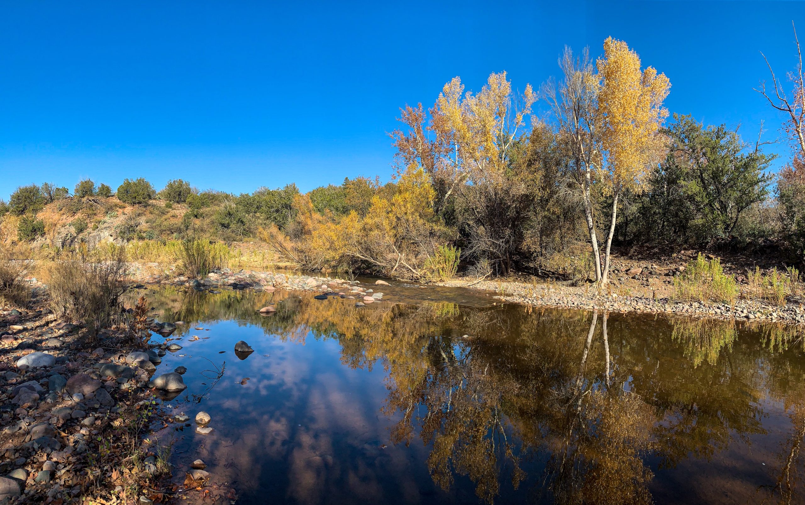
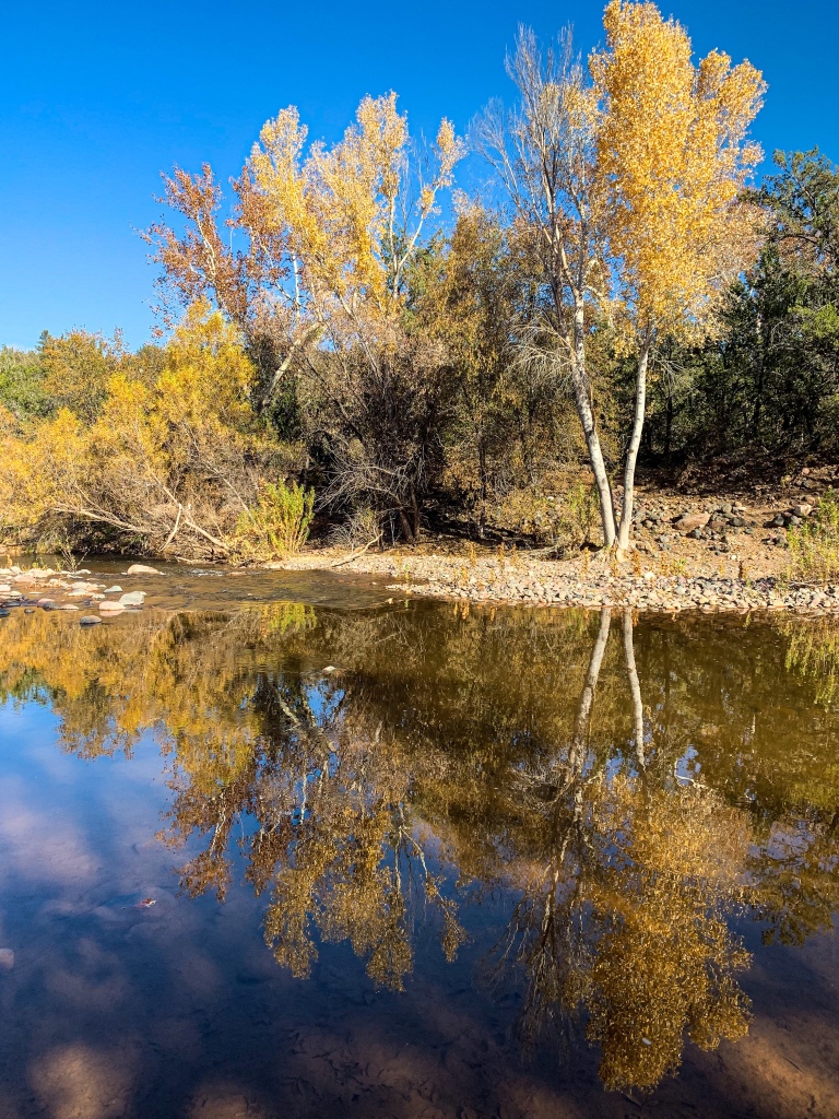
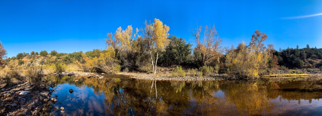
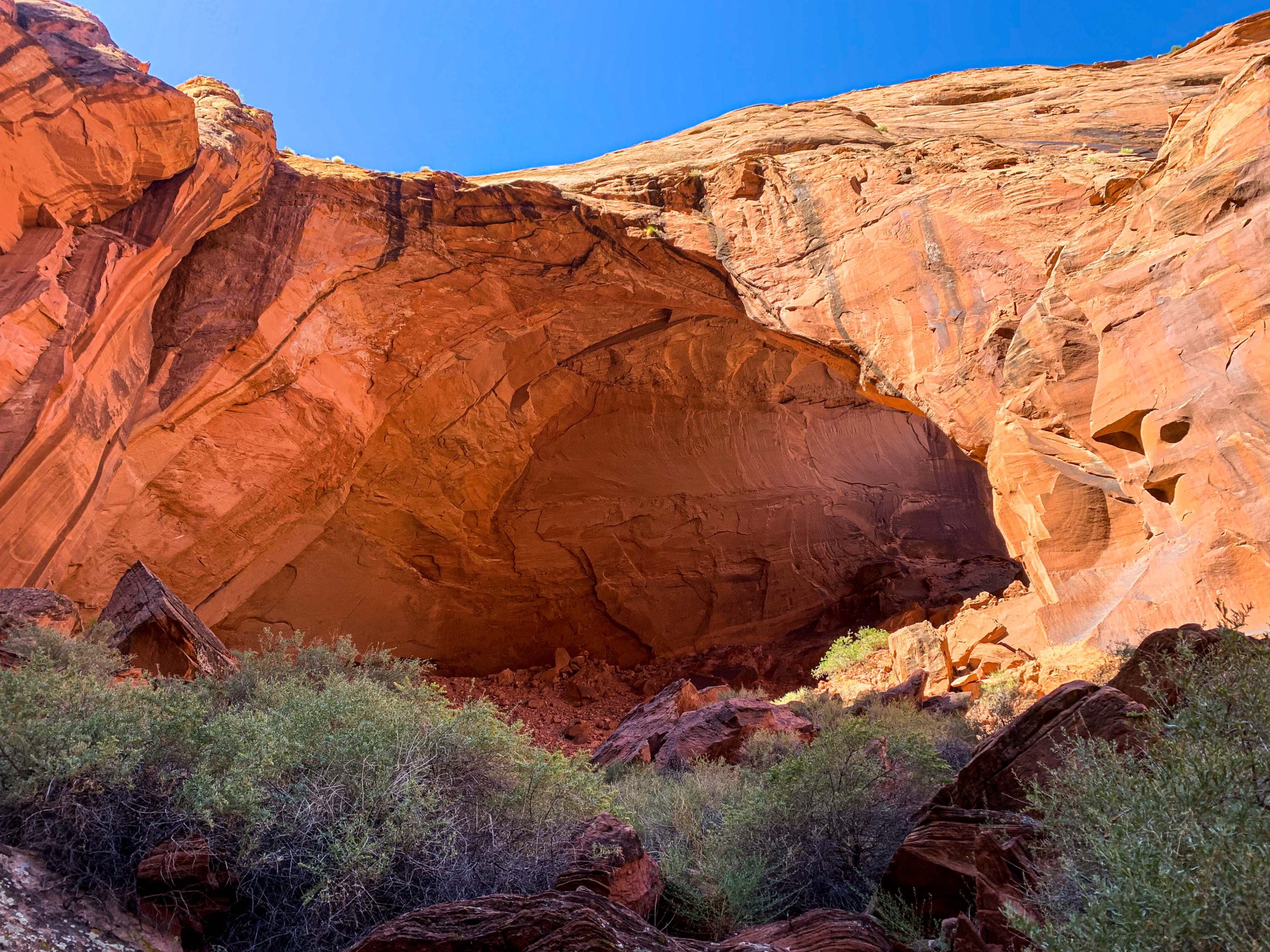
Arizona Trail: Polk Spring
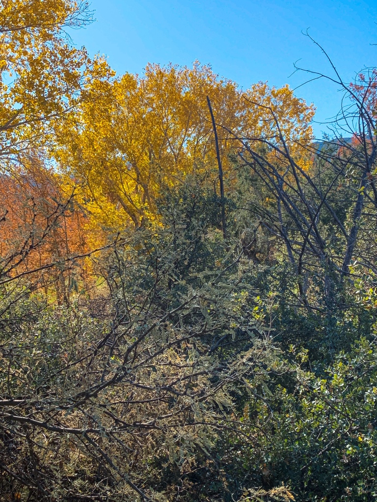
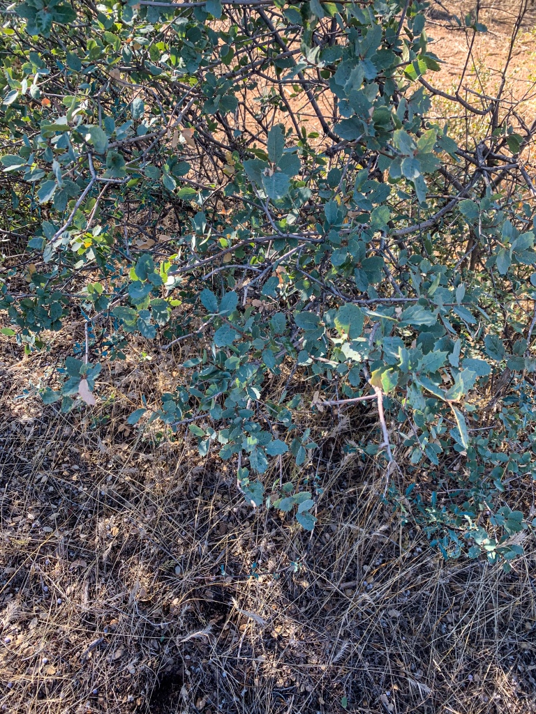
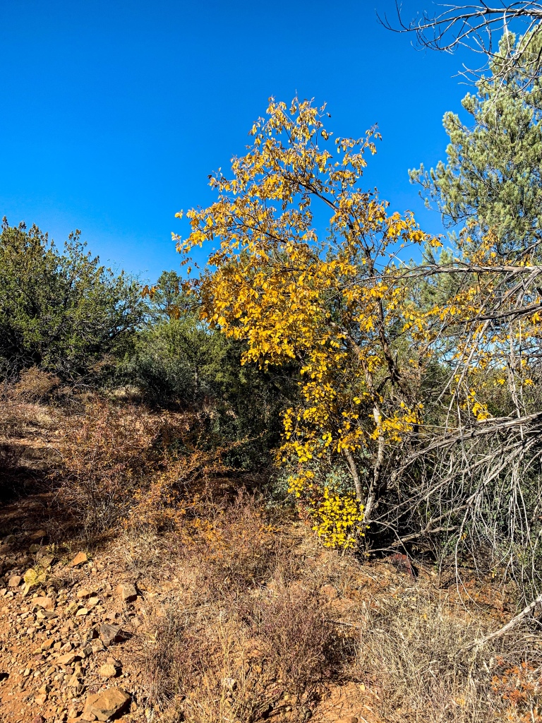
I camped at Polk Spring last night and woke up for sunrise this morning. A clearing with only scattered mesquite trees proved a good spot; on the far side, a little stream trickles down from the spring beneath towering sycamore trees golden with their fall plumage. Mesquite trees are really cool – their leaves are incredibly photosensitive. They actually fold up overnight (see below) and then open during the day as light levels increase until radiation peaks before beginning to close again and repeating the cycle the following day.

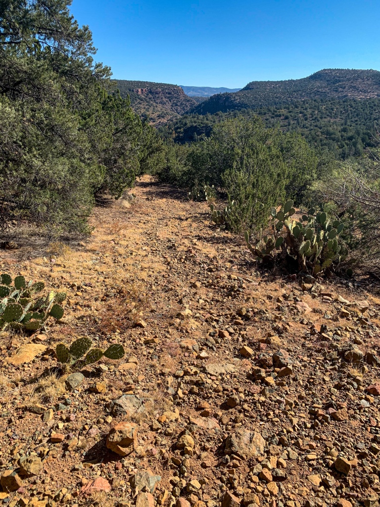
Arizona Trail, Passage 25 (Whiterock Mesa)
Mazatzal Wilderness
Tonto National Forest

Arizona Trail, Passage 25 (Whiterock Mesa)
Mazatzal Wilderness
Tonto National Forest

Arizona Trail, Passage 25 (Whiterock Mesa)
Mazatzal Wilderness
Tonto National Forest
Polk Spring-East Verde River
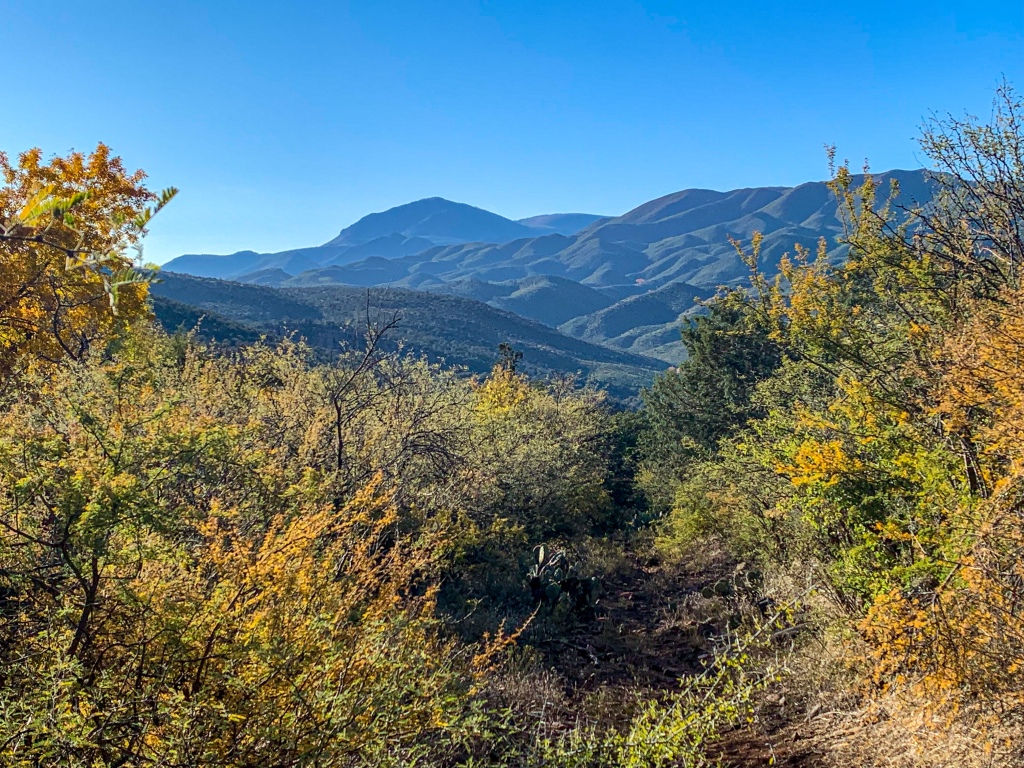
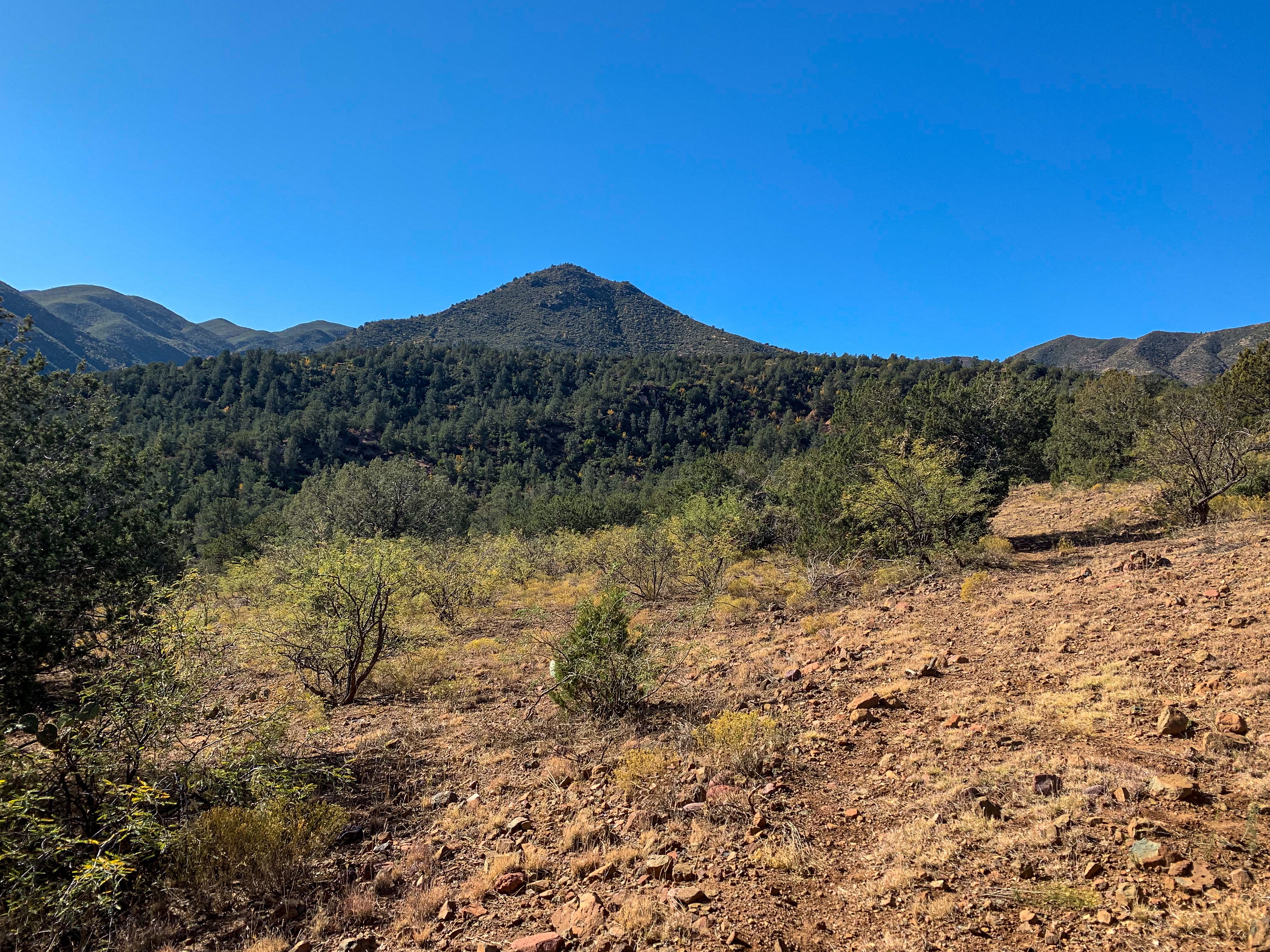
Departing Polk Spring, the trail continues to provide magnificent views of the northern Mazatzal Mountains and the neighboring Red Hills as it descends to the East Verde River. The trail will pass through both mountain ranges – first the Red Hills, then the Mazatzals. The origin of the name “Mazatzal” is unclear, though one possible meaning is a Nahuatl term meaning “place of the deer.” The Mazatzal Wilderness, which the trail will remain within now until just shy of Strawberry in the central Mazatzals, is about 390 square miles in size. It was one of the original Wilderness Areas designated upon the passage of the Wilderness Act in 1964.
Arizona Trail, Passage 25 (Whiterock Mesa)
Mazatzal Wilderness
Tonto National Forest

Arizona Trail, Passage 25 (Whiterock Mesa)
Mazatzal Wilderness
Tonto National Forest

Arizona Trail, Passage 25 (Whiterock Mesa)
Mazatzal Wilderness
Tonto National Forest
Arizona Trail, Passage 25 (Whiterock Mesa)
Mazatzal Wilderness
Tonto National Forest
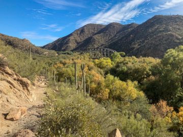
On reaching the East Verde River valley, there’s a sign pointing the way to the otherwise unmarked crossing. Quite faded from the Arizona sun, the sign gives the distance to Mexico now as 440 miles. (Note: for someone heading nobo, the crossing point might be easier to identify since there is more of a bank on the north side and thus the point where the trail climbs the bank to begin the ascent up Whiterock Mesa).
I greet two hikers going north as they cross, then do likewise. Note: this is the same river that I crossed several times and backpacked along the banks of during the descent off the Mogollon Rim to meet the Highline Trail at Washington Park. Needless to say, the river is much bigger here, and since there’s no fixed crossing as there is for the other three rivers that the Arizona Trail crosses, care must be made in the crossing.

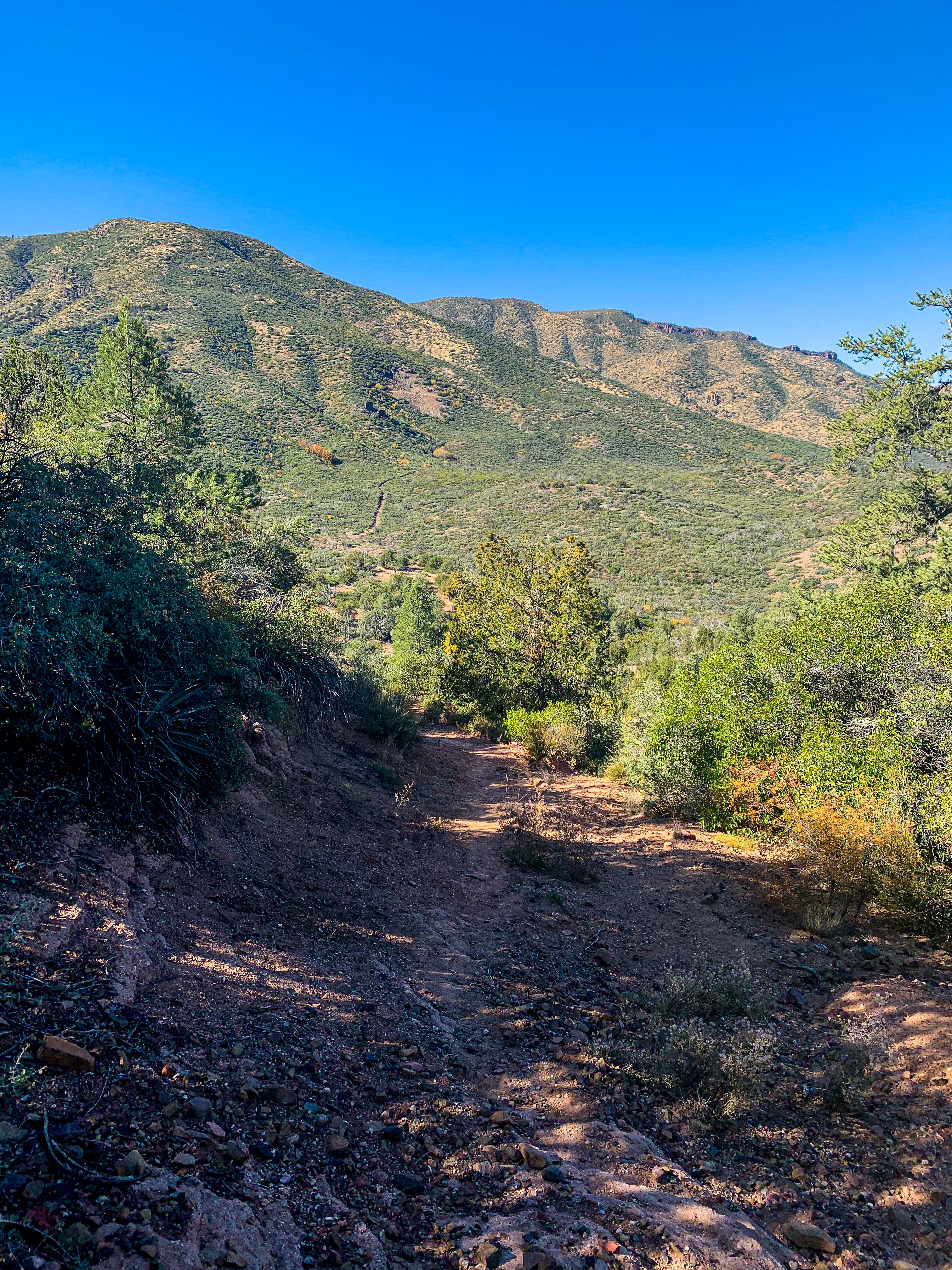
Arizona Trail, Passage 24 (Red Hills)
Mazatzal Wilderness
Tonto National Forest
Arizona Trail, Passage 24 (Red Hills)
Mazatzal Wilderness
Tonto National Forest
Arizona Trail, Passage 24 (Red Hills)
Mazatzal Wilderness
Tonto National Forest
Arizona Trail, Passage 24 (Red Hills)
Mazatzal Wilderness
Tonto National Forest
Arizona Trail: East Verde River-Red Hills
New plants crop up as well as the AZT follows the sandy floodplain of the East Verde River before winding its way through a tricky stretch (from a navigational perspective) and beginning to climb up into the foothills. The rest of the day will be spent climbing. I pass a trail volunteer out working on rebuilding a stretch, who says he gets out here twice a year to work, fall and spring, avoiding the summer.
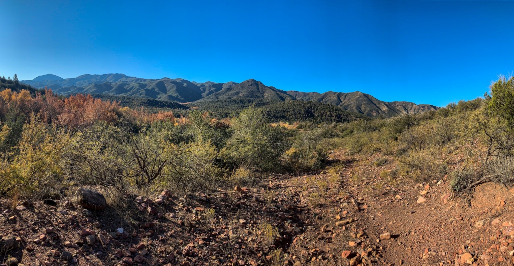
As we look up into the Red Hills, you can see the trail climbing up to the ridge line above. In addition to being steep, it’s also very exposed. Some exposed conglomerate rock is around, too, though I suspect that geology may change as we climb higher. Well, nothing to do but get hiking! Next time, we’ll see the ascent into the Red Hills and get ready for the backpacking traverse through them into the heart of the Mazatzal Wilderness.
Mazatzal Wilderness
Tonto National Forest
Arizona Trail, Passage 24 (Red Hills)
Mazatzal Wilderness
Tonto National Forest
Arizona Trail, Passage 24 (Red Hills)
Mazatzal Wilderness
Tonto National Forest

Arizona Trail, Passage 24 (Red Hills)
Mazatzal Wilderness
Tonto National Forest
Arizona Trail, Passage 24 (Red Hills)
Mazatzal Wilderness
Tonto National Forest

Arizona Trail, Passage 24 (Red Hills)
Mazatzal Wilderness
Tonto National Forest

Arizona Trail, Passage 24 (Red Hills)
Mazatzal Wilderness
Tonto National Forest
Trail Logistics & Passage Ecology
| Passage 25 | Passage 24 | |
| Passage Map | Passage 25 (Whiterock Mesa) Map | Passage 24 (Map |
| AZTA Passage Profile | Passage 25 (Whiterock Mesa) | Passage 24 (Red Hills) |
| Passage Elevation Profile | Passage 25 Elevation Profile | Passage 24 Elevation Profile |
| Trail Surface | Dirt trail | Dirt trail |
| Length (Mi) | 22.7 | 10.9 |
| Elevation Change (ft) | 2411 ft | |
| Season | October-April | October-April |
| Potential Water Sources | Bradshaw Tank Oak Spring Canyon Whiterock Spring Polk Spring East Verde River | East Verde River |
| Trailheads | North: Passage 26 at Pine Trailhead (AZ-87) Midpoint: FR 194 South: East Verde River (south). Inaccessible to cars | North: East Verde River (north). Inaccessible to cars (4 mile hike from accessible Doll Baby Ranch TH) South: Red Hills Trail Junction |
| Trailhead Accessibility | North: Vehicular Midpoint: Vehicular South: Hiking only (4 mile hike from accessible Doll Baby Ranch TH) | North: Hiking only (4 mile hike from accessible Doll Baby Ranch TH) South: Hiking only (5.75 mi hike from vehicle-accessible City Creek TH) |
| Ecosystems traversed | Riparian Great Basin Conifer Woodland, primarily Rocky Mountain montane conifer forest (north end) | Riparian Interior Chaparral (north end) Great Basin Conifer Woodland Relict Conifer Woodland |
| Highlights | Views of Mazatzal Mountains & Mogollon Rim Sunsets | Views of the northern Mazatzal Mountains Sunsets Red rocks Ecological diversity |
One thought on “Amazing, Spectacular Arizona Trail Thruhiking: Polk Spring-Red Hills Ascent”