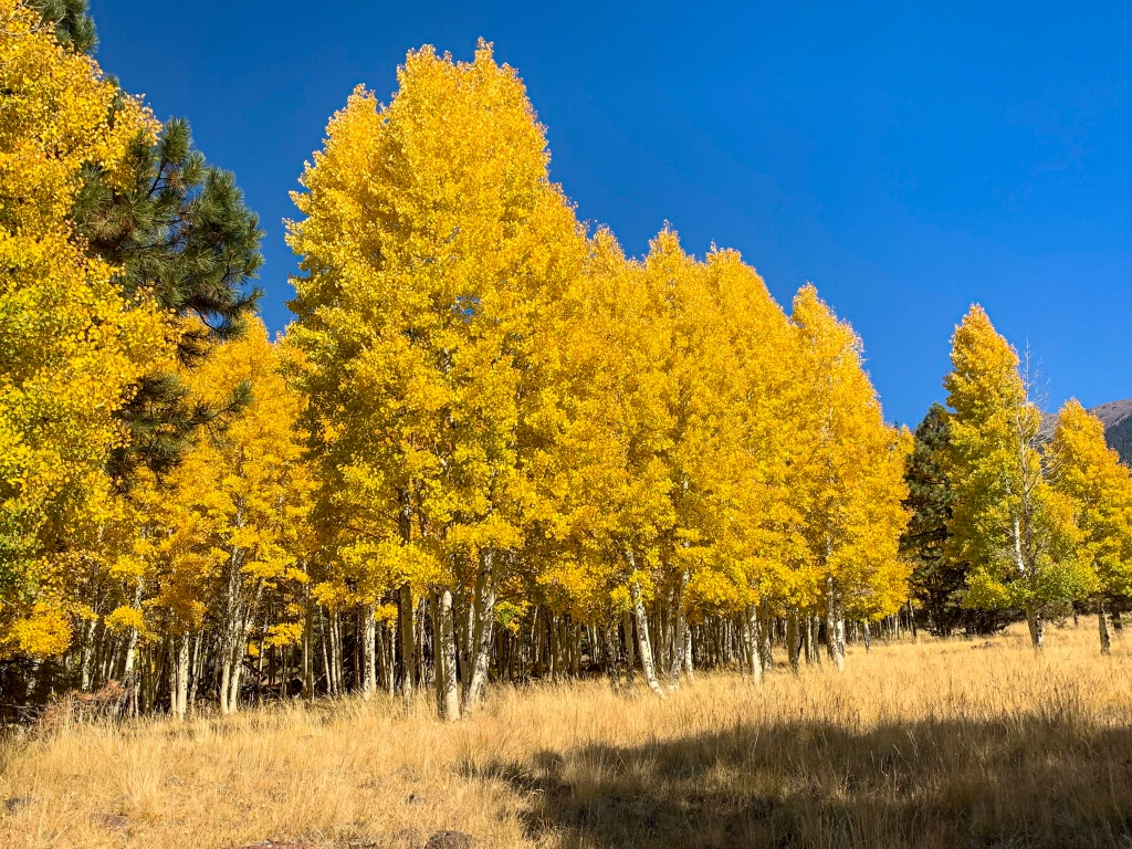
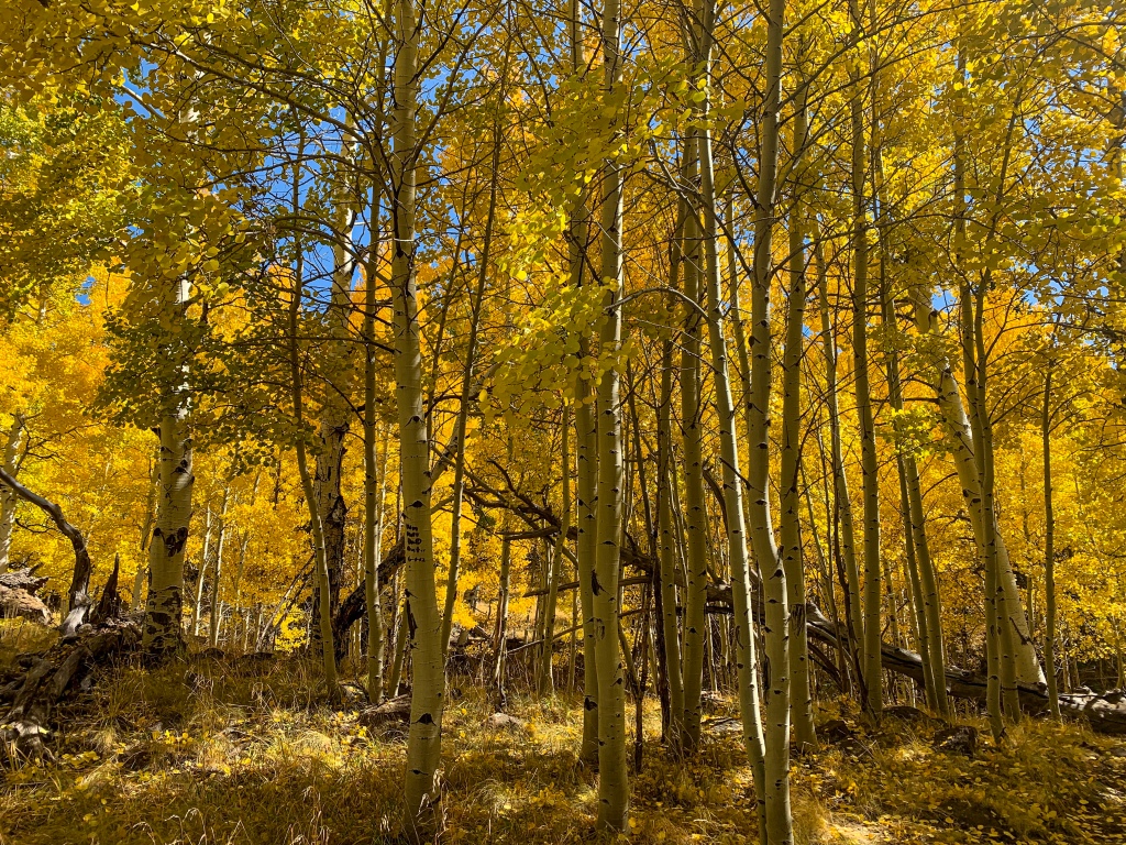
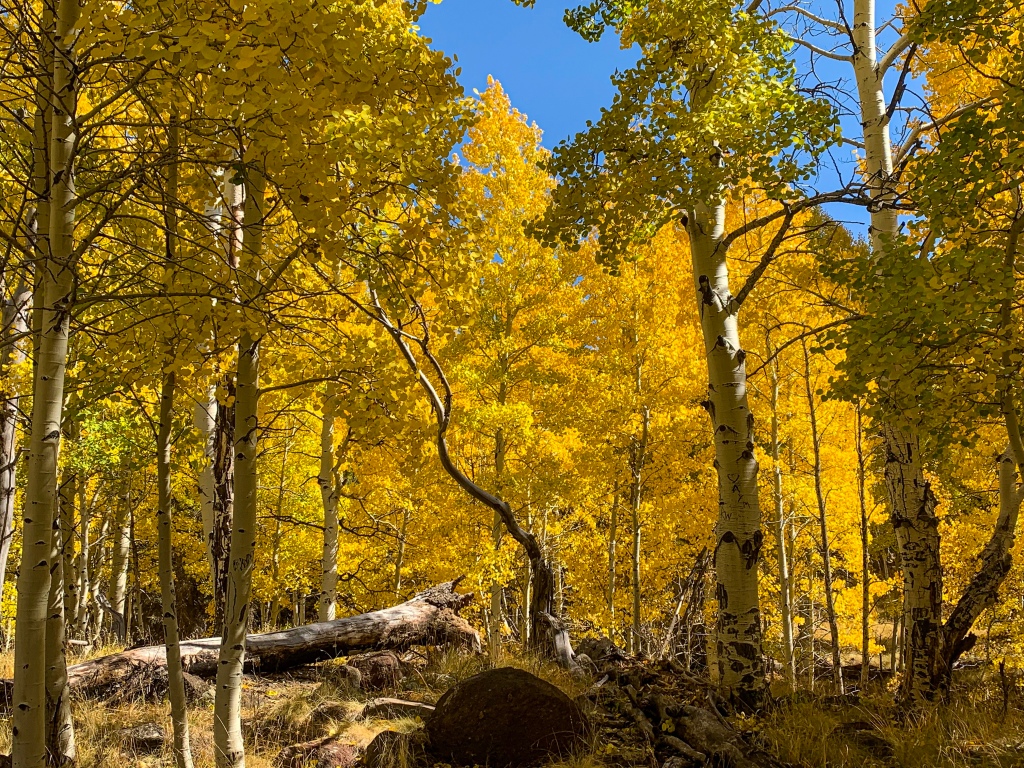
Flagstaff, Arizona is known for its four season recreation, but fall is one of the most spectacular times to visit for the aspen foliage that lights the area around the San Francisco Peaks. While there are many ways to experience this, one of the most spectacular and accessible hiking trails is the Aspen Loop. A short loop trail off of the Arizona Trail near the Arizona Snowbowl, the Aspen Loop winds through immense aspen groves that glow golden in fall light, especially early and late in the day. Being in Coconino National Forest, the trail is open to hikers, stock, and mountain bikers.

Coconino National Forest
Coconino National Forest
Coconino National Forest
To access the Aspen Loop, drive north from Flagstaff on US-180. Turn toward the Arizona Snowbowl and decide between two options:
If you want to do the trail as a lollipop, continue to the Arizona Snowbowl lower parking area. Proceed north 0.1 miles on the Humphreys Peak Trail and then take the fork to the west (downhill). Follow this trail to the Loop itself, the western leg of which overlaps with the Arizona Trail. The stem trail joins the loop at the northeast corner. The full distance for this option is 2.7 miles round trip.
Or, take to the Arizona Snowbowl parking area off of US-180. Take the Arizona Trail north (the San Francisco Peaks should be on your right) from one of several points where it or access trails to it start at or cross Snowbowl Road. If you get to the lower parking area, you’ve gone too far. Continue north on the trail until you come to a wooden sign identifying the Aspen Loop. Total distance 6.5-8 miles round trip (est.), depending on where on Snowbowl Road you start.

Coconino National Forest

Coconino National Forest
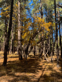
The loop itself rolls pretty gently, and if you approach from the south on the Arizona Trail you’ll also get nice views over the mountains to the west, such as Kendrick Peak. Essentially the whole loop is surrounded by aspens, providing quite the show in fall.

Coconino National Forest

Coconino National Forest

Coconino National Forest

Coconino National Forest

Coconino National Forest

Coconino National Forest

Coconino National Forest

Coconino National Forest

Coconino National Forest

Coconino National Forest

Coconino National Forest

Coconino National Forest

Coconino National Forest
| Trail | Distance |
| Distance | 0.8-1 mile (loop itself) 2.5 mile lollipop from AZ Snowbowl lot Approx. 6.8 miles out-and-back from Aspen Corner Options for longer starting lower on Snowbowl Road, or further south on the AZT at Schultz Pass or Flagstaff |
| Season | Year round Best: Fall Winter poses challenges. You will likely be snowshoeing and should plan for that being the case. There will be no foliage but the views may be clearer. |
| Trail surface | Singletrack |
| Trailheads | Arizona Snowbowl Snowbowl Road |
| Trail Uses | Hiking Mountain biking Stock |
| Water | Not on trail specifically Water may be available at Bismarck Lake or Alta Fia Tank (must be filtered) |
| Major Features | Fall foliage San Francisco Peaks views Mountain views westward Sunsets |
| Difficulty | Easy The ATA rates Passage 34 of the AZT, which this overlaps with in part, overall as moderate, but this is one of its easier stretches. The longest option has 500 ft of elevation change. Elevation effects for nonlocals is probably the biggest challenge. The trailhead elevation is 8800 ft. |
| Pet Friendly? | Yes |
Rob
Fabulous Photos! Great info on hiking the Loop! Thank you!