Backpacking the Arizona Trail: Passage 26 (Highline)
AZT Thruhike Day 41, Part II
Trans-Arizona/Utah Hike Day 48
In the land of Arizona
Through desert heat or snow
Winds a trail for folks to follow
From Utah to Old Mexico
It’s the Arizona Trail
A pathway through the great Southwest
A diverse track through wood and stone
Your spirit it will test
Oh, sure you’ll sweat and blister
You’ll feel the miles every day
You’ll shiver at the loneliness
Your feet and seat will pay
But you’ll see moonlight on the borderlands
You’ll see stars on the Mogollon
You’ll feel the warmth of winter sun
And be thrilled straight through to bone
The aches and pains will fade away
You’ll feel renewed and whole
You’ll never be the same again
With Arizona in your soul
Along the Arizona Trail
A reverence and peace you’ll know
Through deserts, canyons, and mountains
From Utah to Old Mexico
-“The Arizona Trail,” Dale R. Shewalter
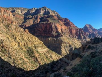
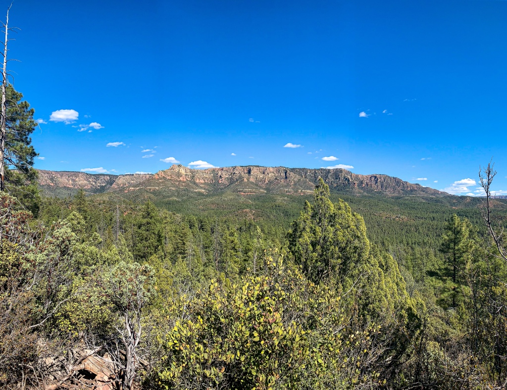
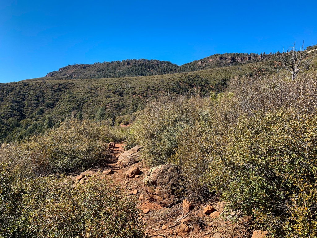
The Highline Trail began as a way of connecting remote ranching areas below the Mogollon Rim. It continues to serve as a major transportation corridor today, stretching 54.7 miles. The Arizona Trail doesn’t overlap the entire length but it does overlap more than half. The Mogollon Rim, as perhaps noted previously, is the southern border of the Colorado Plateau and the driver of phenomena such as the southwest monsoon in the same way that the Tibetan Plateau drives the Indian Monsoon – albeit with less dramatic effects since the Tibetan Plateau and the Himalayas are much higher than the Mogollon is. More to come on this in a separate entry, perhaps.
Arizona Trail, Passage 27 (Highline)
Tonto National Forest
Arizona Trail, Passage 27 (Highline)
Tonto National Forest
Arizona Trail, Passage 27 (Highline)
Tonto National Forest
Arizona Trail, Passage 27 (Highline)
Tonto National Forest
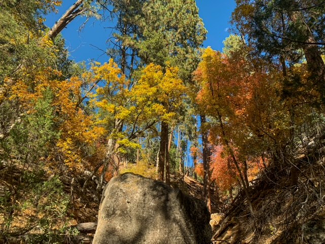
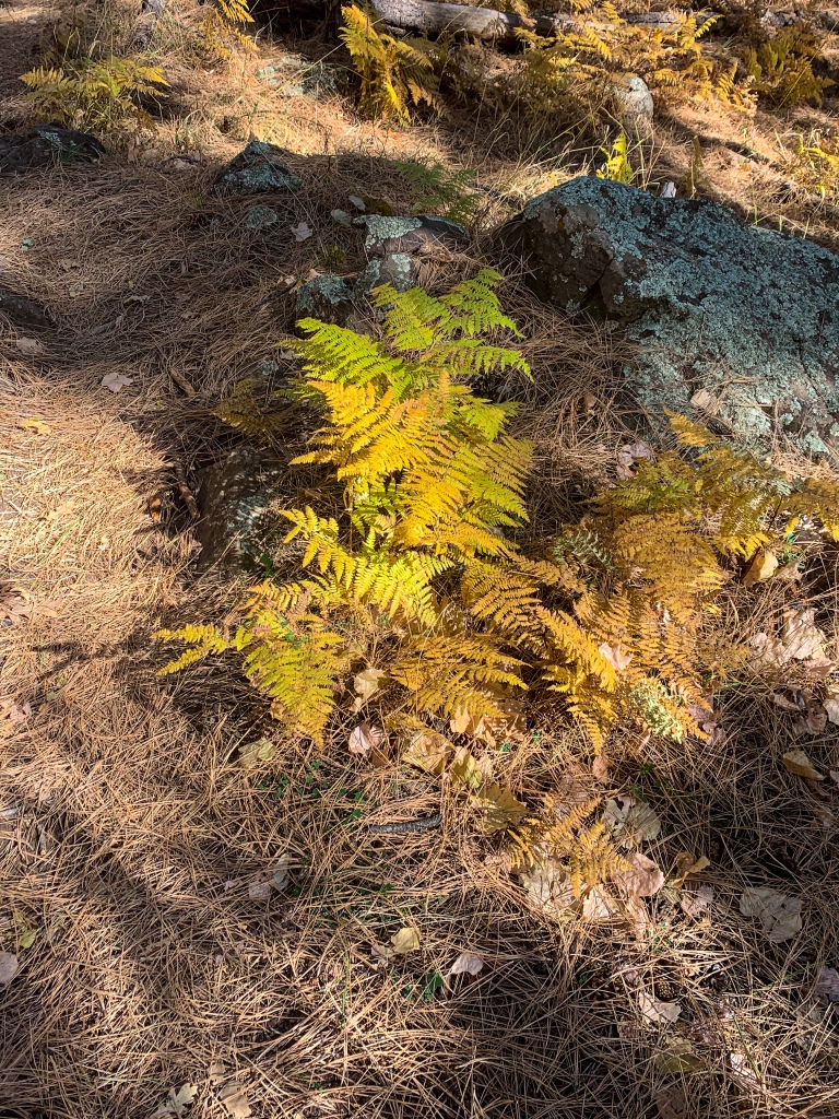
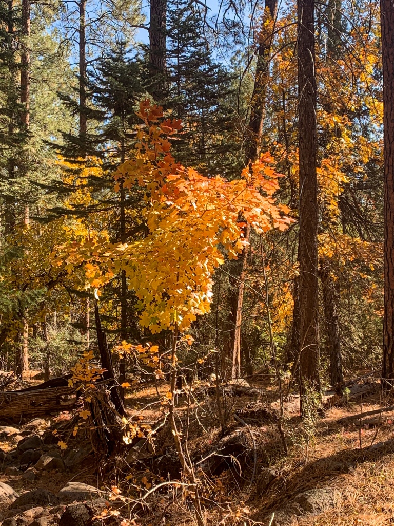
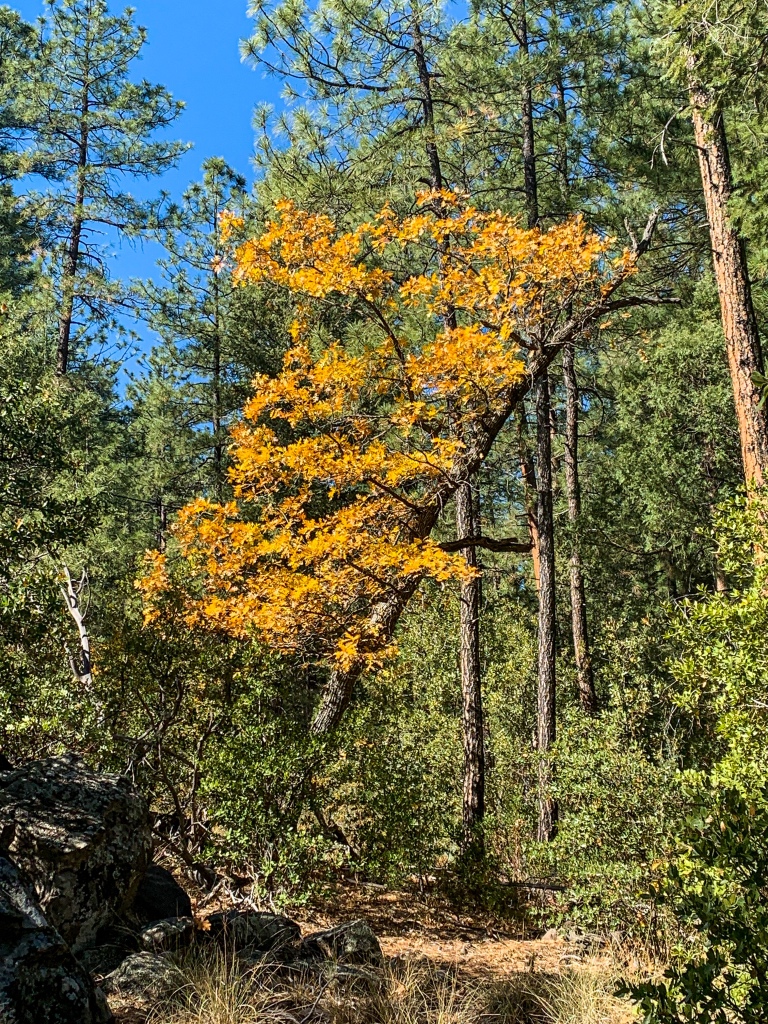
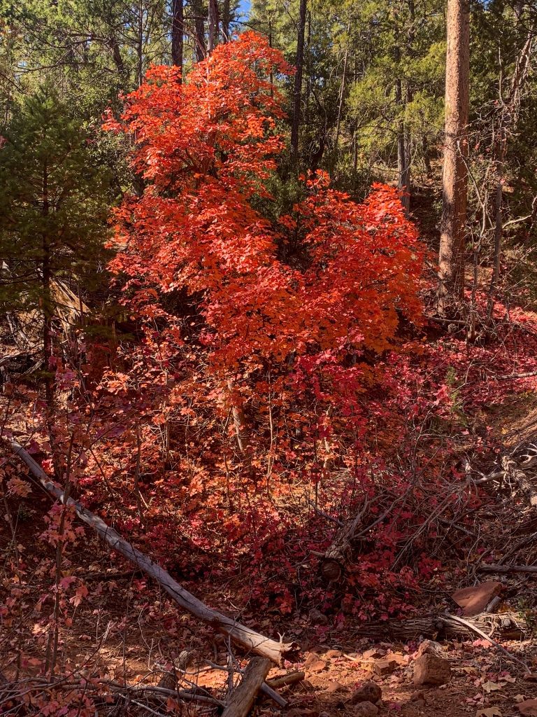
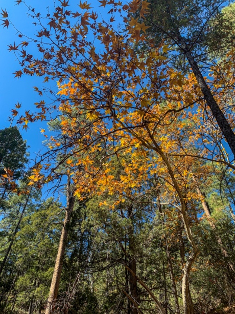
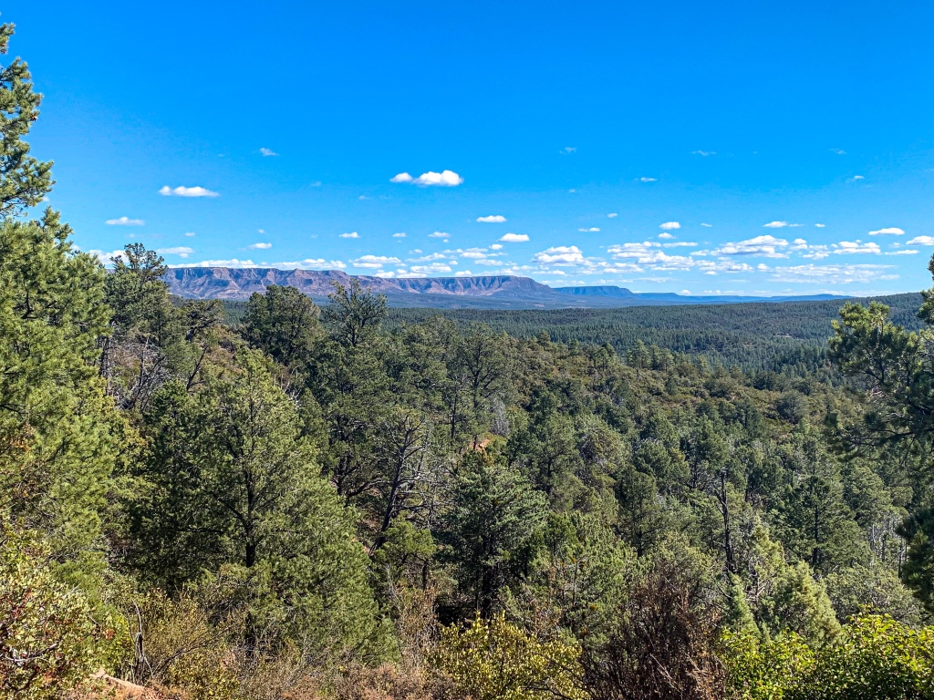
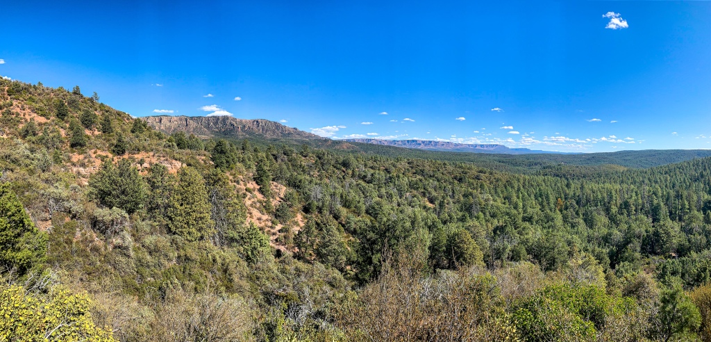
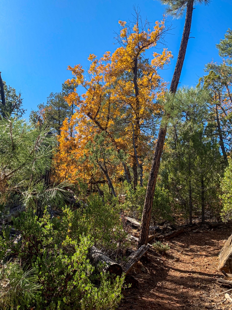
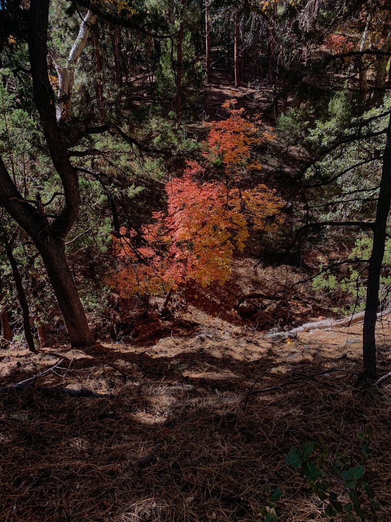
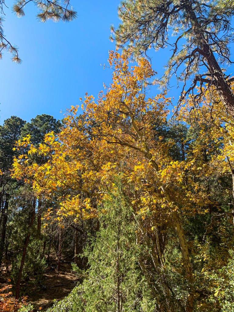
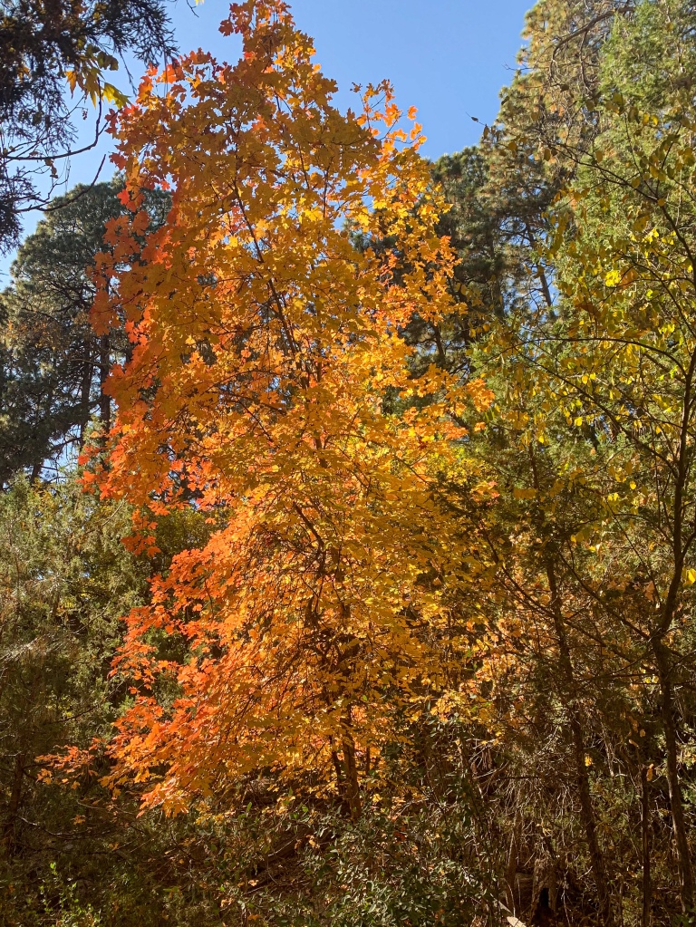
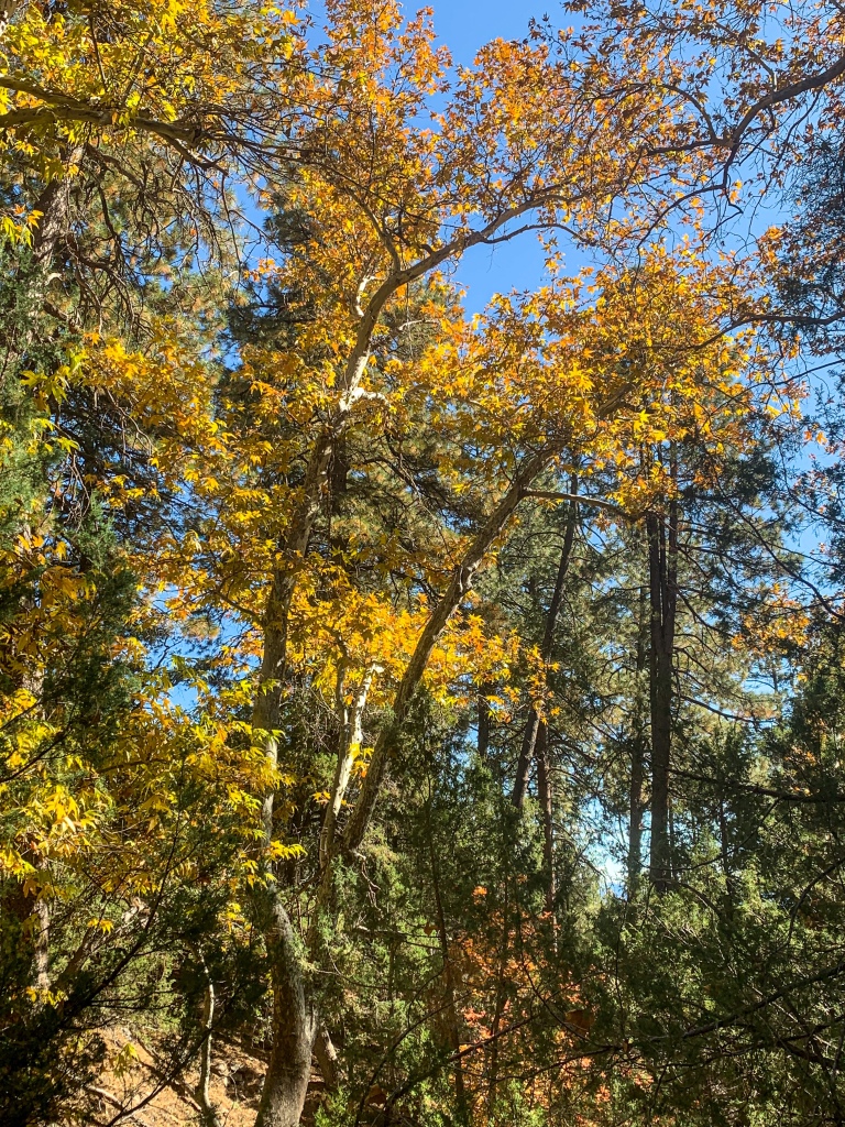
Having filled up on water and eaten lunch, the trail ascends from Webber Creek and the Geronimo Trailhead toward Milk Ranch Point, jutting out from the Mogollon Rim. This is a much more consistently wooded & shaded stretch that appears to have been spared by the Dude Fire of 1990 and February Fire (2006). It also seems to be wetter here – there are still touches of green in the ferns as the trail ascends. Gamble oaks, maple and ponderosa dominate the trail through this stretch, and the light filtering through the canopy and the leaves is magical. Basalt outcrops emerge, a contrast to the red soil of the passage to this point. The tread on this stretch is more similar to the area above the Mogollon than it is to the prior stretch of the Highline below it, in a sense.
Arizona Trail, Passage 27 (Highline)
Tonto National Forest
Arizona Trail, Passage 27 (Highline)
Tonto National Forest
Arizona Trail, Passage 27 (Highline)
Tonto National Forest

Arizona Trail, Passage 27 (Highline)
Tonto National Forest
Arizona Trail, Passage 27 (Highline)
Tonto National Forest
Arizona Trail, Passage 27 (Highline)
Tonto National Forest
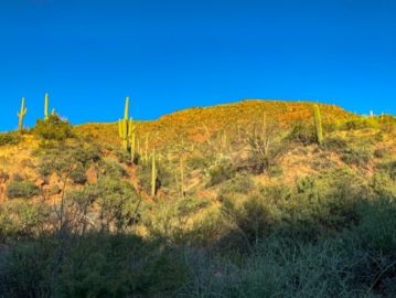
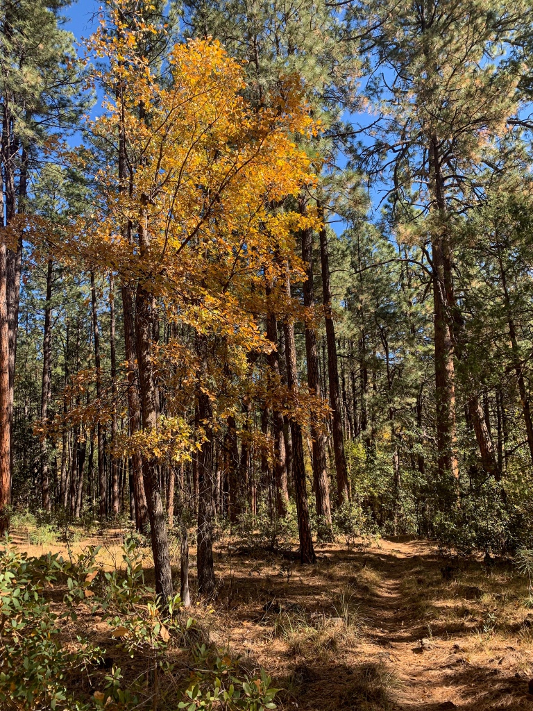
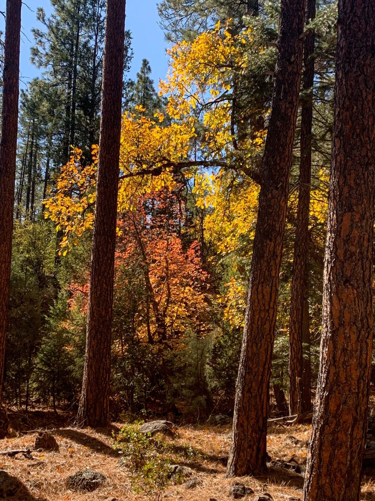
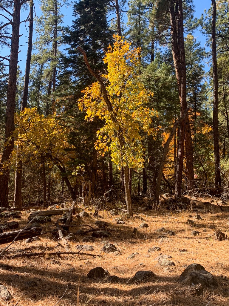
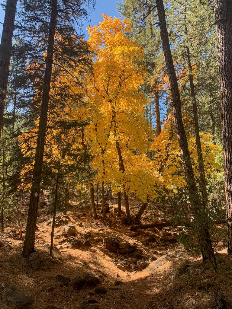
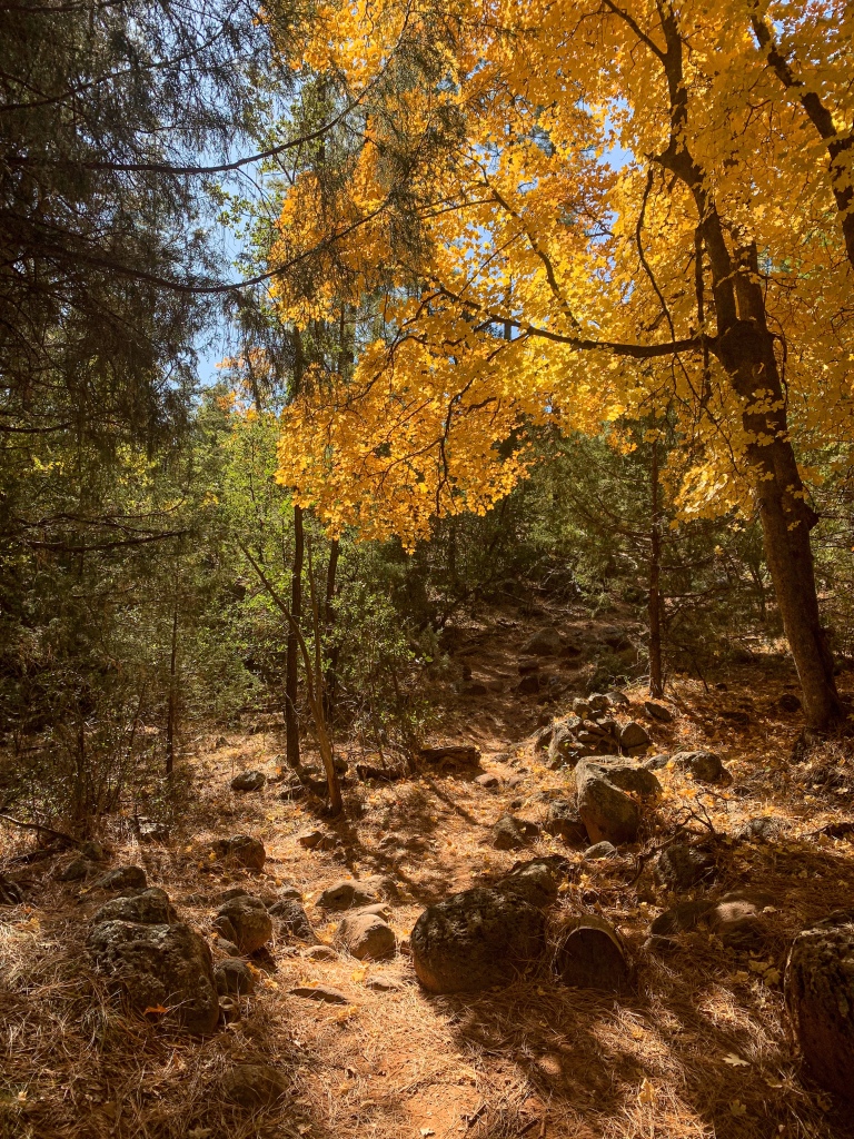
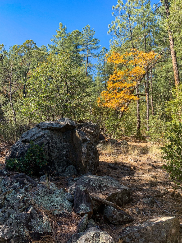
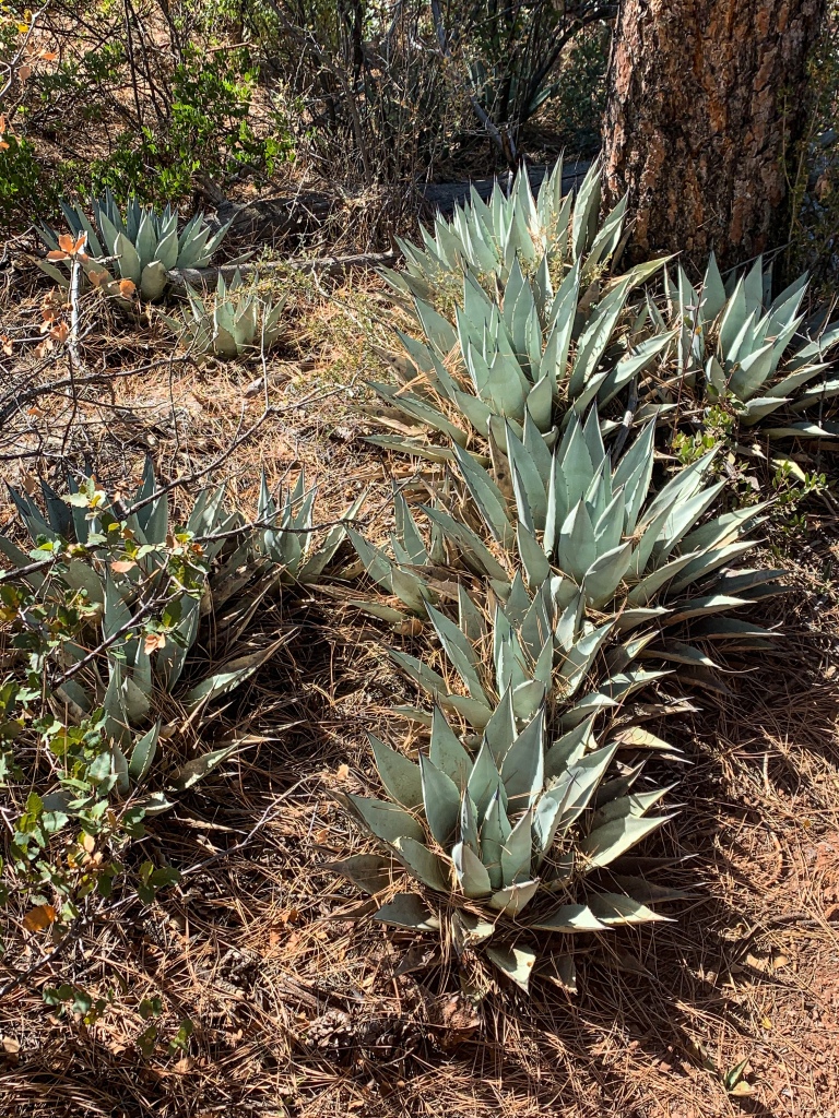
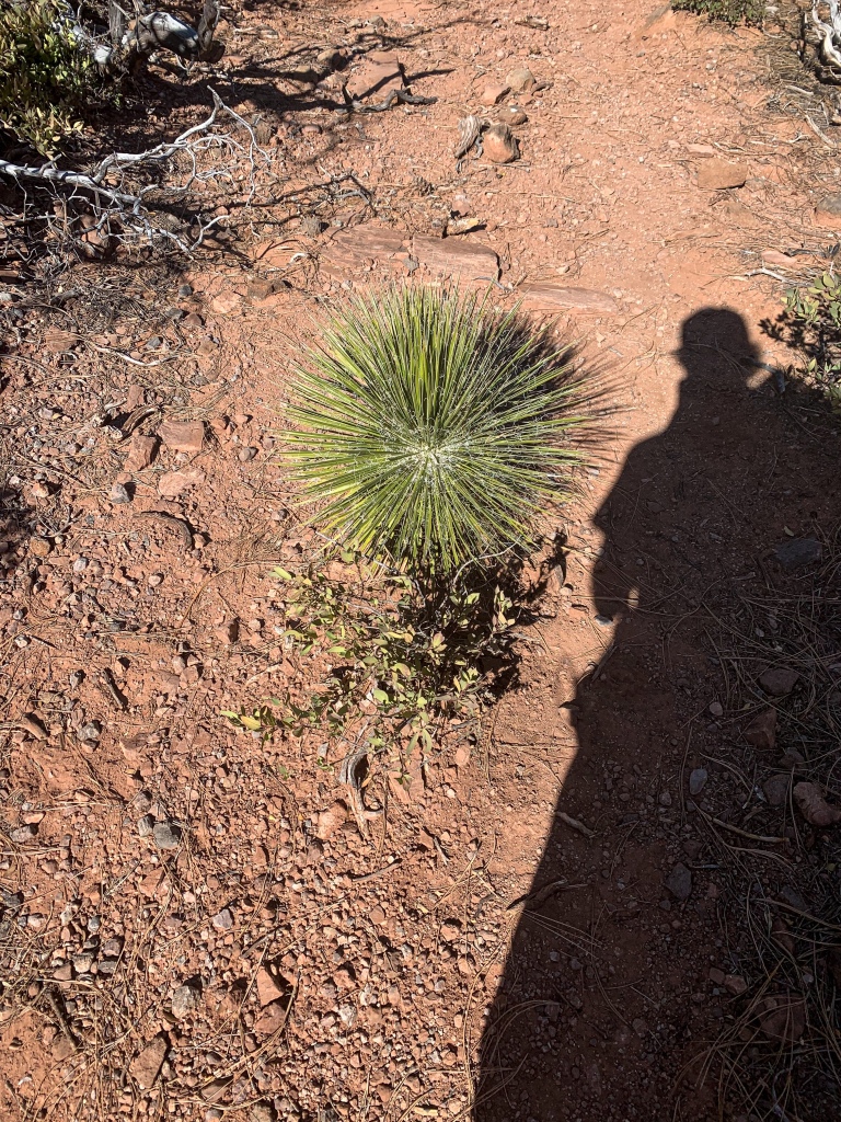
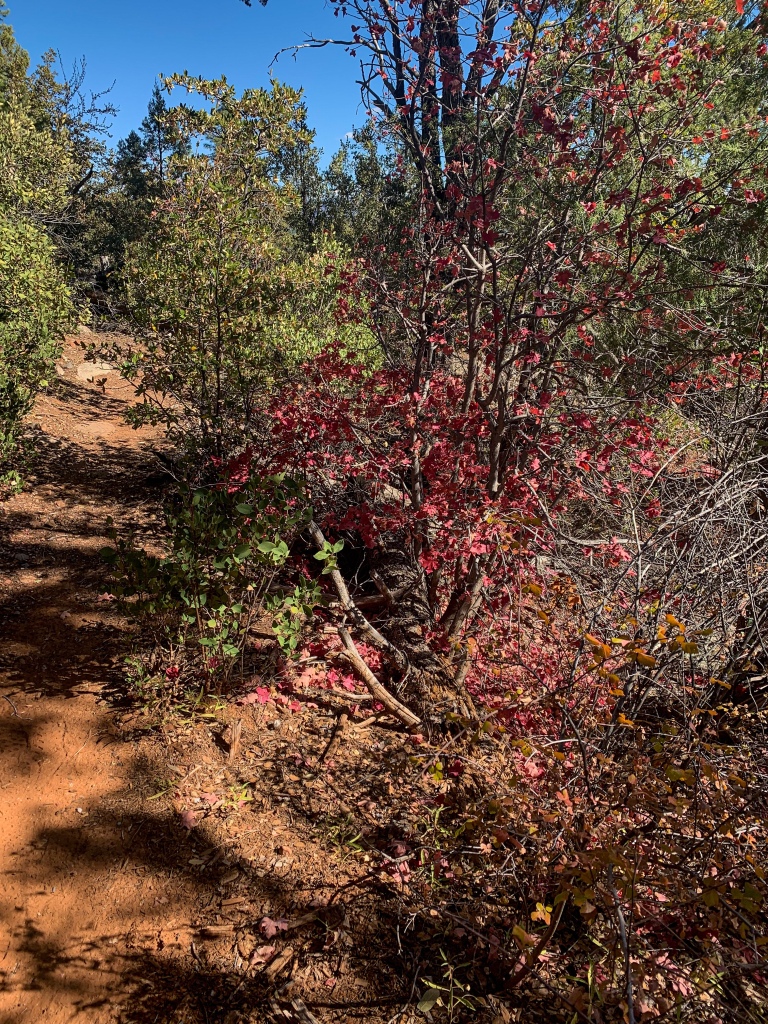
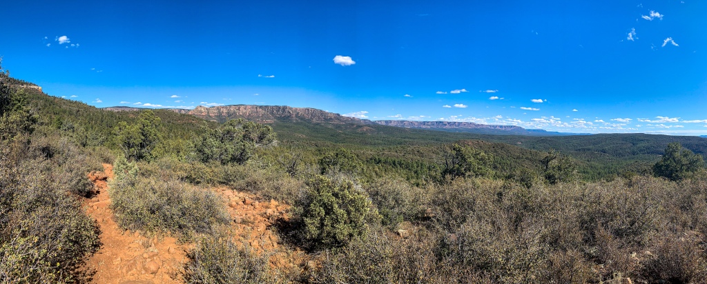
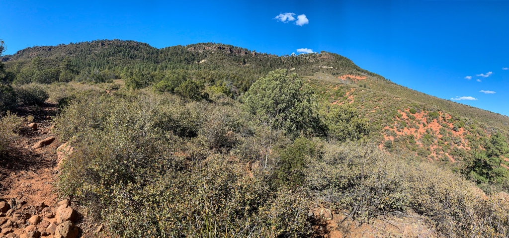
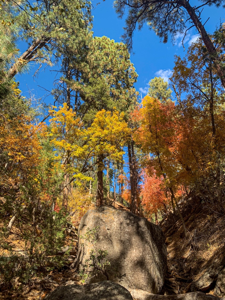
As the trail winds toward the southernmost reach of Milk Ranch Point, it passes by Pine and Red Rock Springs, two unreliable sources. Views open of the Mogollon to the East, and both agave and yucca reappear in places. There are also continually improving views of the Mogollon to the East, looking directly down the rim. The greater sheltering of these areas from recent wildfires is evident as well; unburned areas present in immense ponderosa and mature oaks in full fall color.

Arizona Trail, Passage 27 (Highline)
Tonto National Forest

Arizona Trail, Passage 27 (Highline)
Tonto National Forest
Arizona Trail, Passage 27 (Highline)
Tonto National Forest
Arizona Trail, Passage 27 (Highline)
Tonto National Forest
Arizona Trail, Passage 27 (Highline)
Tonto National Forest
Arizona Trail, Passage 27 (Highline)
Tonto National Forest
Tonto National Forest
Arizona Trail, Passage 27 (Highline)
Tonto National Forest
Arizona Trail, Passage 27 (Highline)
Tonto National Forest
Arizona Trail, Passage 27 (Highline)
Tonto National Forest
Arizona Trail, Passage 27 (Highline)
Tonto National Forest
Arizona Trail, Passage 27 (Highline)
Tonto National Forest
Arizona Trail, Passage 27 (Highline)
Tonto National Forest
Arizona Trail, Passage 27 (Highline)
Tonto National Forest
Arizona Trail, Passage 27 (Highline)
Tonto National Forest
Arizona Trail, Passage 27 (Highline)
Tonto National Forest
Tonto National Forest
Arizona Trail, Passage 27 (Highline)
Tonto National Forest
Tonto National Forest
Tonto National Forest
| Passage 26 (Highline) | |
| Trail Surface | Dirt singletrack |
| Length (Mi) | 20.2 |
| Season | Spring-Fall |
| AZTA Passage Information | Passage 26 (Highline) |
| AZTA Passage Map | Passage 26 (Highline) Map |
| AZTA Elevation Profile | Passage 26 Elevation Profile |
| Potential Water Sources | East Verde River (mi 309.2 SOBO/479.6 NOBO) Creek (mi 311.9 SOBO/476.8 NOBO) Chase Creek (mi 312.6 SOBO/476.1 NOBO) North Sycamore Creek (314.1 SOBO/474.7 NOBO) Bray Creek (mi 315.4 SOBO/473.3 NOBO) Bear Spring (mi 316.8 SOBO/472.0 NOBO) Pine Spring (mi 322.1 SOBO/466.6 NOBO) Red Rock Spring (mi 323.2 SOBO/465.6 NOBO) |
| Trailheads | North: Mogollon Rim (mi 292.1 SOBO, 496.7 NOBO) South: AZ-87 near Pine (mi 328.1 SOBO, 460.6 NOBO) |
| Trailhead Access | North: Graded dirt road South: Paved road |
| Wilderness | No |
| Possible resupply points | Pine |
| Difficulty | Moderate |
| Potential campsites (mileages S to N) | Various LNT-compatible locations throughout |
| Threats | Heat – wear a cotton shirt so you can soak it. Synthetics aren’t great in the desert. Hypothermia – nights are generally about 30°F cooler than days in Arizona regardless of the time of year. Consider this in packing gear. Mornings can be cool year-round. Hyponatremia – “drunk on water.” To avoid, ensure adequate salt & electrolyte intake and ensure you eat as well as drink water. Symptoms are almost identical to dehydration, but drinking more makes it worse. Prevention is by far the best solution. Dehydration Lightning |
| Permits Required? | No |
| Cell service? | Limited |
| Ecosystems traversed | Rocky Mountain Montane Conifer Forest |
| Highlights | Mogollon Rim, southern boundary of Colorado Plateau Fall foliage Ecological diversity Extensive views |
| Weather | Current Passage 26 Weather (NWS) |
| Interior Chaparral | Great Basin Conifer Woodland | Rocky Mountain Montane Conifer Woodland | |
| Common Trees/Shrubs | * Birchleaf Mahogany * Ceanothus * Holly-leaf buckthorn * Manzanita * Shrub live oak * Silktassels * Stansbury cliffrose | * Arizona alder * Holly-leaf buckthorn * Junipers * Oaks, including Arizona oak, canyon live oak, Emory oak, Gambel oak, scrub-live oak * Piñon pine * Red barberry * Serviceberry * Silktassels * Skunkbush * sugar sumac | * Ponderosa Pine * Southwestern white pine * Subalpine fir * White fir * Rocky Mountain maple * Bigtooth maple * Grey alder * Red birch * Red osier dogwood * Cliffbush * Mallow ninebark * New Mexican locust * huckleberry * bilberries |
| Common herbaceous plants | * Buckwheats * Globemallows * Lupines * Penstemons * Sego-lily * Wormwood | * fringed brome * Geyer’s sedge/elk sedge * Ross’ sedge * Bronze sedge/dry land sedge/hillside sedge/hay sedge/Fernald’s hay sedge * screwleaf muhly * bluebunch wheatgrass * Spruce-fir fleabane * wild strawberry/Virginia strawberry * Small-flowered woodrush * mountain sweet Cicely * bittercress ragwort * western meadow-rue * Fendler’s meadow-rue | |
| Common succulents | * Agaves – golden flowered, Parry’s, Toumey’s * Banana & soap tree yucca * Barrel cactus * beargrass * beehive cactus * buckhorn cholla * Cane Cholla * hedgehog cacti * prickly pear cacti * Rock echeveria * Sotol * Whipple’s cholla | * beehive cactus * Claret cup hedgehog cacti * Golden-flowered agave * Parry’s agave * Prickly pear cacti * Whipple cholla * Tonto Basin agave |