Thruhiking the Arizona Trail: Passage 31 (Walnut Canyon)
Backpacking the AZT Day 26
Trans-Arizona/Utah Hiking Day 33
In the land of Arizona
Through desert heat or snow
Winds a trail for folks to follow
From Utah to Old Mexico
It’s the Arizona Trail
A pathway through the great Southwest
A diverse track through wood and stone
Your spirit it will test
Oh, sure you’ll sweat and blister
You’ll feel the miles every day
You’ll shiver at the loneliness
Your feet and seat will pay
But you’ll see moonlight on the borderlands
You’ll see stars on the Mogollon
You’ll feel the warmth of winter sun
And be thrilled straight through to bone
The aches and pains will fade away
You’ll feel renewed and whole
You’ll never be the same again
With Arizona in your soul
Along the Arizona Trail
A reverence and peace you’ll know
Through deserts, canyons, and mountains
From Utah to Old Mexico
-“The Arizona Trail,” Dale R. Shewalter
Welcome back to Aspens Tracks, thruhiking the Arizona Trail from Utah to Mexico! To learn how I got to this point, you can check out my last entry about Walnut Canyon National Monument and my prior section of the AZT from Picture Canyon Preserve to Walnut Canyon:
Private: Beautiful Walnut Canyon NM: Sinagua Cliff Dwelling History (aspenstracks.com)
Amazing, Spectacular Arizona Trail: Picture Canyon-Walnut Canyon
AZT Passage 31 (Walnut Canyon)
Coconino National Forest
AZT Passage 31 (Walnut Canyon)
Coconino National Forest
AZT Passage 31 (Walnut Canyon)
Coconino National Forest
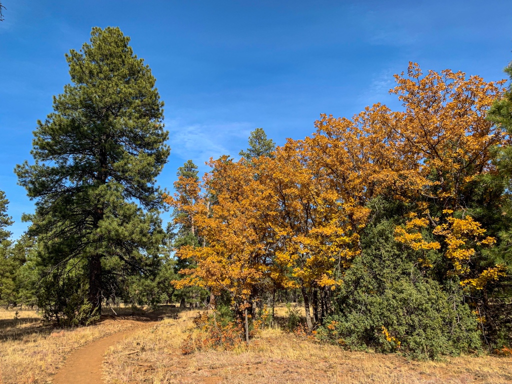
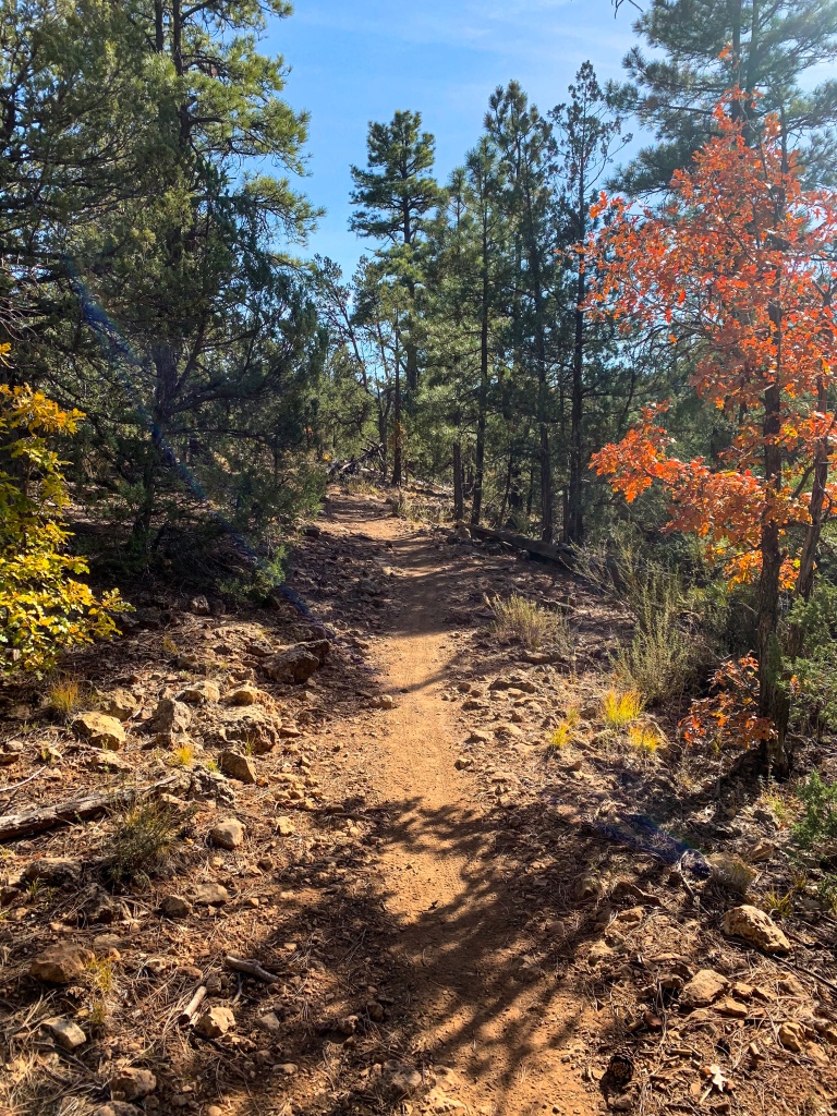
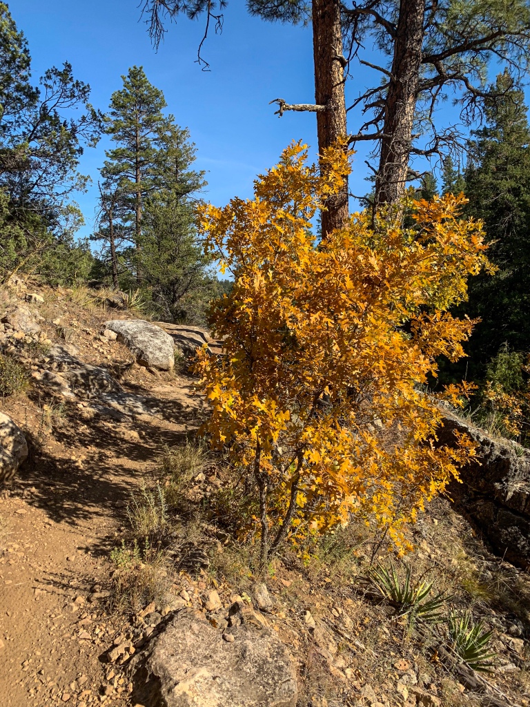
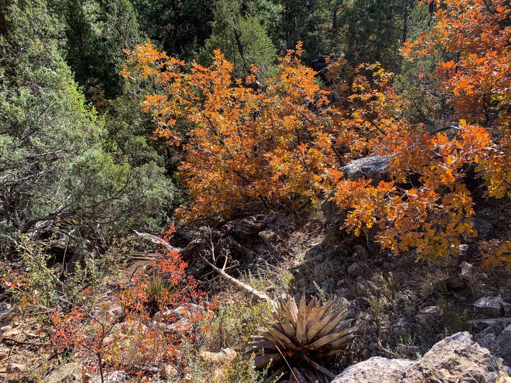
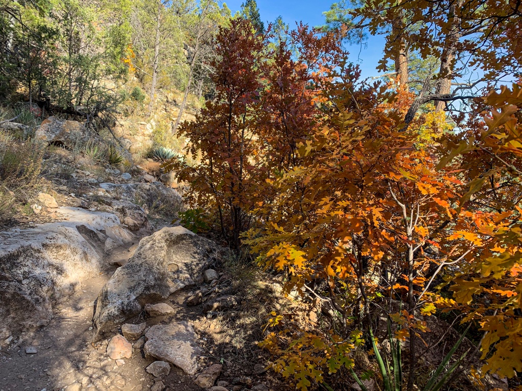
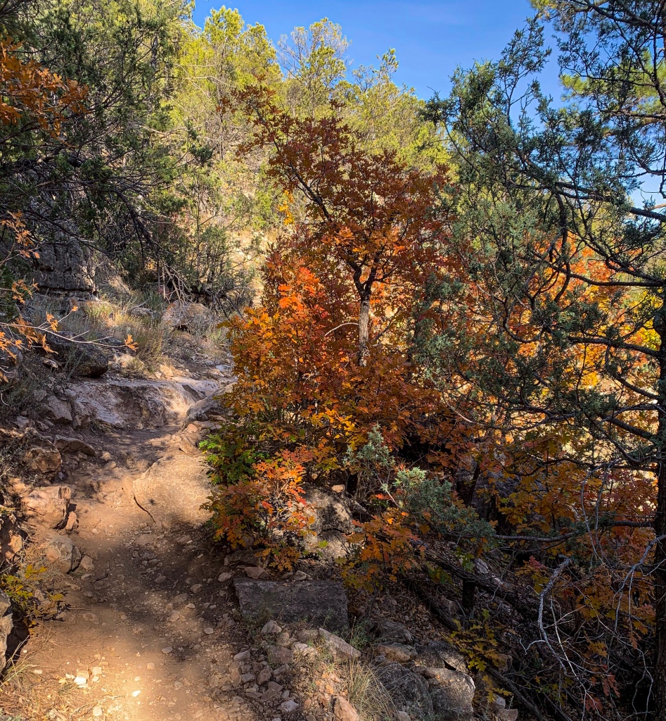
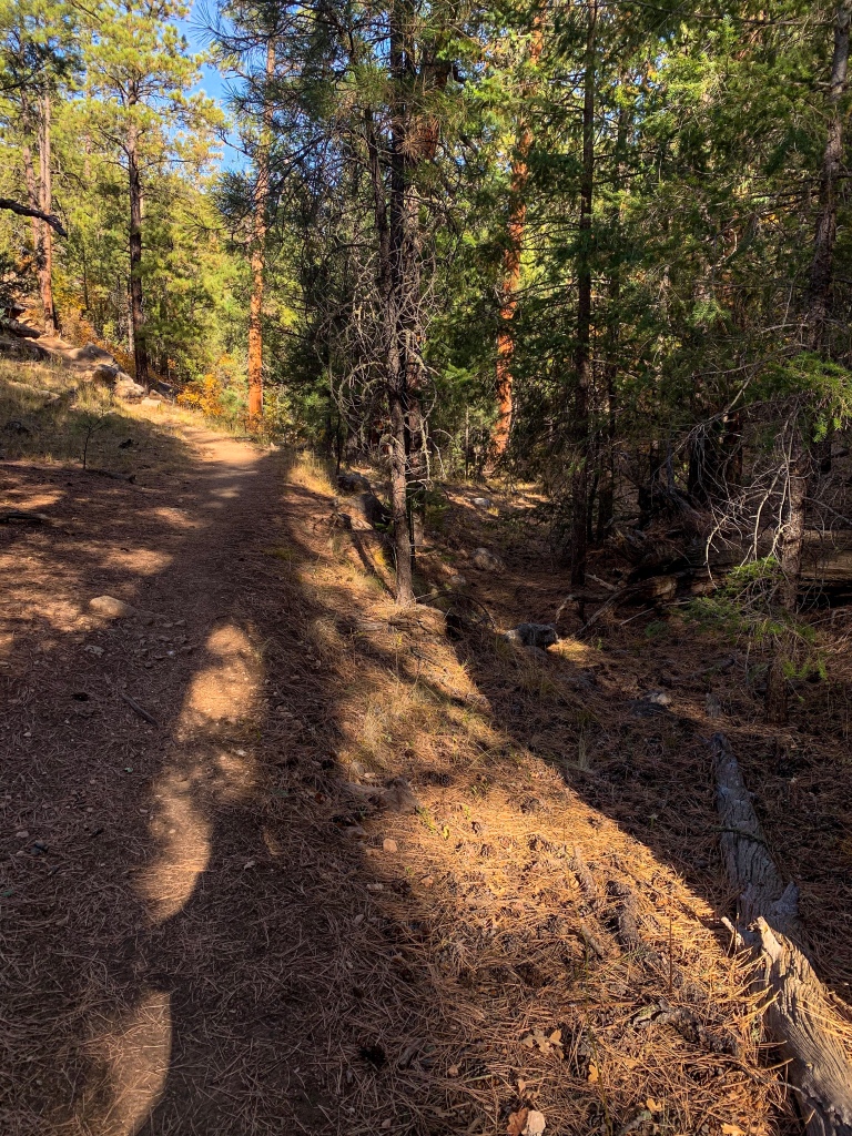
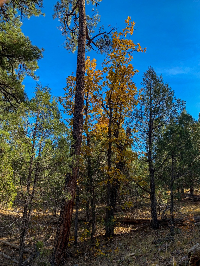
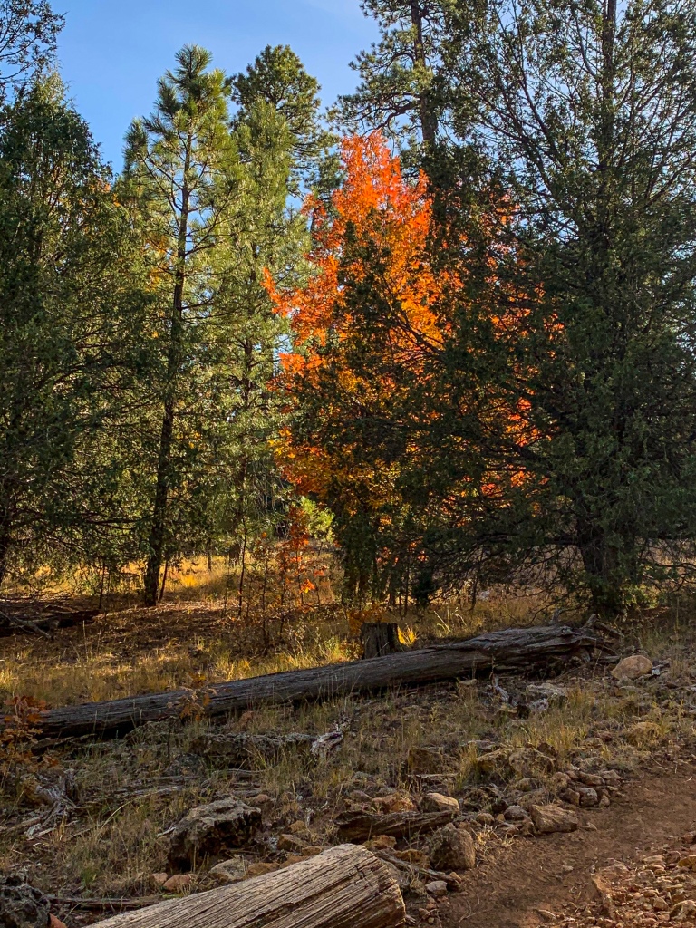
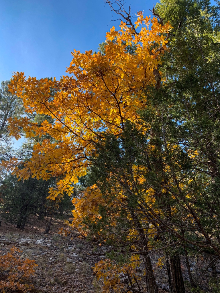
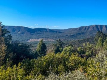
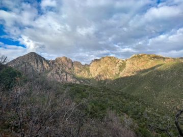
I get back to where I camped and pick up a few things I had left there while I was at Walnut Canyon National Monument. The trail crosses FR 303, Old Walnut Canyon Road, and heads west toward Flagstaff. Rolling in and out of drainages, It traces the rim of Walnut Canyon in places, and veers away into the woods in others.
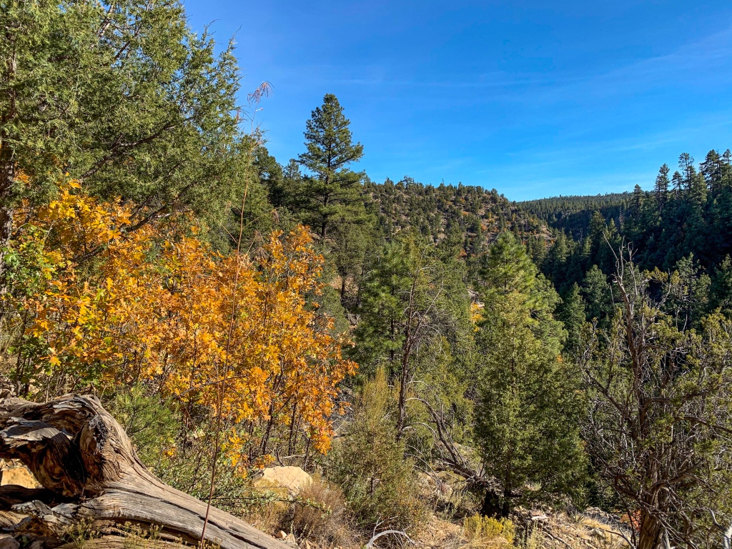
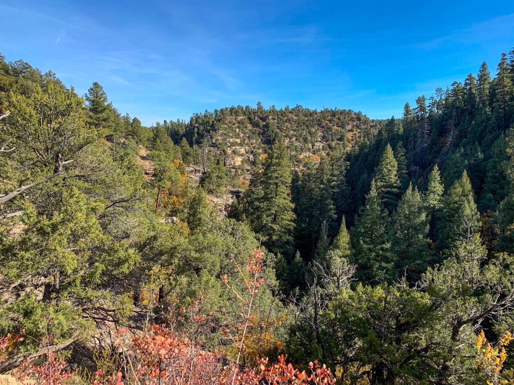
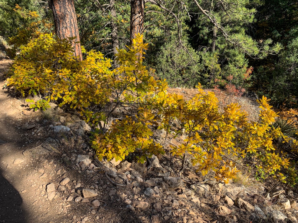
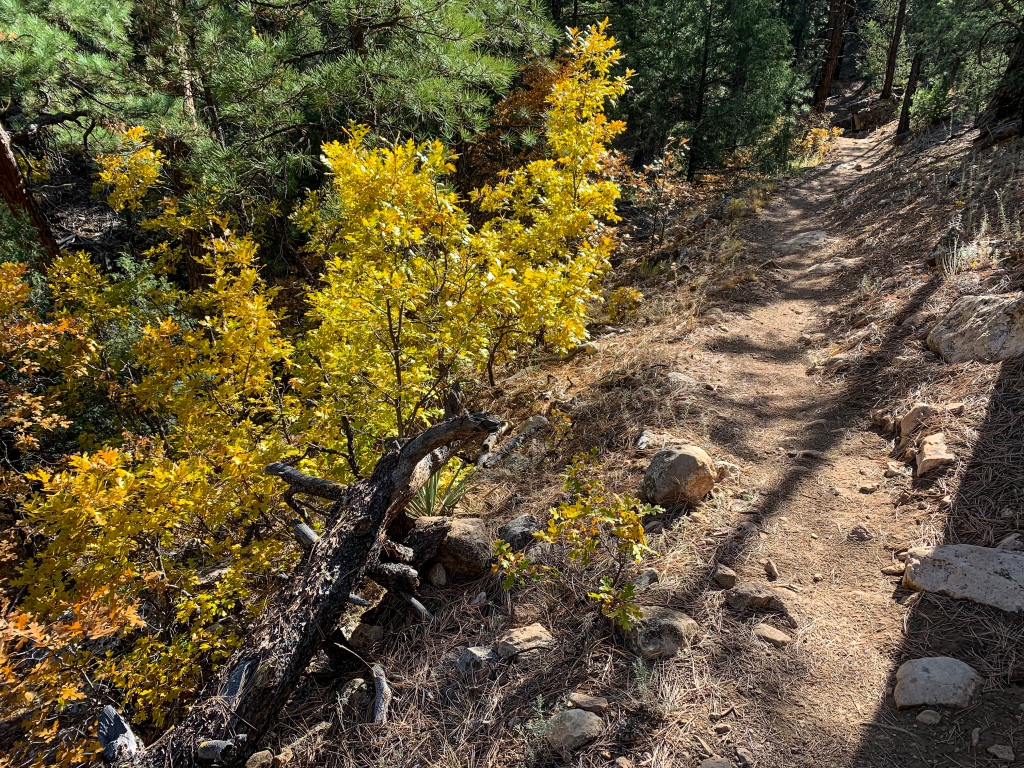
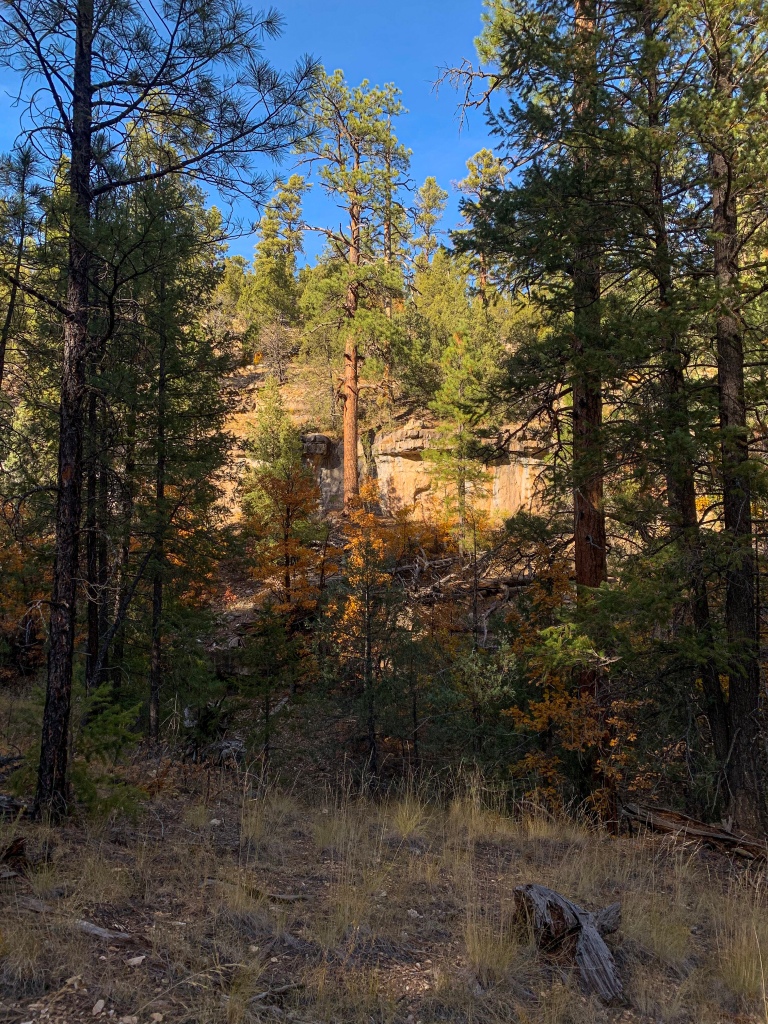
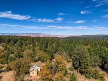
Heading west, the forest transitions back to the ponderosas, rolling up and down through drainages. The ponderosas are dense throughout, and their reddish bark glows in the light that filters through the green needles. The gambel oaks continue to impress along the route as well, adding splashes of yellow, red, and orange to the green ponderosa woodlands. I filled up on water at the visitor center for the National Monument, so I should have enough to get me back into Flagstaff. The trail crosses two spur trails leading to overlooks with more magnificent views of the canyon. Both well worth the minor extra mileage and time.
AZT Passage 31 (Walnut Canyon)
Coconino National Forest
AZT Passage 31 (Walnut Canyon)
Coconino National Forest
AZT Passage 31 (Walnut Canyon)
Coconino National Forest
AZT Passage 31 (Walnut Canyon)
Coconino National Forest
AZT Passage 31 (Walnut Canyon)
Coconino National Forest
AZT Passage 31 (Walnut Canyon)
Coconino National Forest
AZT Passage 31 (Walnut Canyon)
Coconino National Forest
AZT Passage 31 (Walnut Canyon)
Coconino National Forest
AZT Passage 31 (Walnut Canyon)
Coconino National Forest
AZT Passage 31 (Walnut Canyon)
Coconino National Forest

AZT Passage 31 (Walnut Canyon)
Coconino National Forest
AZT Passage 31 (Walnut Canyon)
Coconino National Forest
AZT Passage 31 (Walnut Canyon)
Coconino National Forest
AZT Passage 31 (Walnut Canyon)
Coconino National Forest
In the next entry, we continue on Passage 31 back toward the south end of Flagstaff and Passage 33.
Arizona Trail Passage 31: Logistics and Ecology
| Passage 31 (Walnut Canyon) | Passage 33 (Flagstaff) | |
| Passage Map | Passage Map | Passage Map |
| Elevation Profile | Profile | Profile |
| Trail Surface | Dirt singletrack | Dirt singletrack |
| Length (Mi) | 18.5 | 15.5 |
| Season | April-October. Snow can be significant in winter. | April-October. Snow can be significant in winter. |
| Potential Water Sources | Walnut Canyon Visitor Center | Various |
| Trailheads | North: I-40 at Cosnino Road South: Marshall Lake | North: Schultz Pass South: Fisher Point |
| Trailhead Access | Vehicular access via paved road | Vehicular access via paved roads (Schultz Pass on north end is unpaved, but various paved access points exist in between) |
| Wilderness | No | No |
| Possible resupply points | East Flagstaff Flagstaff | Flagstaff |
| ATA-Rated Difficulty | Easy | Moderate (south end is easier) |
| Potential campsites (mileages S to N) | Various points throughout; terrain is not a limitation here. However, camping is not allowed on the west end below Fisher Point. | N/A |
| Ecosystems Traversed | Rocky Mountain Montane Conifer Woodland | Rocky Mountain Montane Conifer Woodland |
| Sites of Interest | Walnut Canyon National Monument Fisher Point | Historic Flagstaff |
| Pet Friendly? | Yes, but will impact a visit to Walnut Canyon National Monument | Yes |
| Bike Friendly? | Yes | Yes |
| Rocky Mountain Montane Conifer Woodland | |
| Common Trees/Shrubs | * Ponderosa Pine * Southwestern white pine * Subalpine fir * White fir * Rocky Mountain maple * Bigtooth maple * Grey alder * Red birch * Red osier dogwood * Cliffbush * Mallow ninebark * New Mexican locust * huckleberry * bilberries |
| Common herbaceous plants | * fringed brome * Geyer’s sedge/elk sedge * Ross’ sedge * Bronze sedge/dry land sedge/hillside sedge/hay sedge/Fernald’s hay sedge * screwleaf muhly * bluebunch wheatgrass * Spruce-fir fleabane * wild strawberry/Virginia strawberry * Small-flowered woodrush * mountain sweet Cicely * bittercress ragwort * western meadow-rue * Fendler’s meadow-rue |
| Common succulents |
xlcrgirl
Fantastic pictures I love the fall colors. Thanks for sharing